Eske Boundary Plantation
Wood, Forest in Yorkshire
England
Eske Boundary Plantation

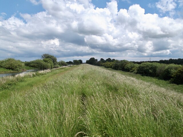
Eske Boundary Plantation is a picturesque woodland located in the county of Yorkshire, England. Situated near the village of Eske, the plantation spans over a vast area and is known for its natural beauty and diverse flora and fauna.
The woodland is primarily composed of various species of trees, including oak, beech, and birch, which create a dense canopy, providing shade and shelter for the wildlife that calls the plantation home. The forest floor is covered in a thick layer of moss, creating a serene and tranquil atmosphere as visitors explore the area.
Eske Boundary Plantation is a popular destination for nature enthusiasts and hikers, with numerous trails and paths weaving through the woodland. These trails offer stunning views of the surrounding countryside and provide opportunities for visitors to observe the local wildlife, such as deer, foxes, and a wide variety of bird species.
The plantation is also home to a small stream that meanders through the woodland, adding to its natural charm. This stream not only provides a source of water for the vegetation but also attracts a diverse range of aquatic animals and insects.
Eske Boundary Plantation is a protected area, managed by the local authorities, in order to preserve its natural beauty and ecological balance. It serves as an important habitat for many native species and contributes to the overall biodiversity of the region.
Overall, Eske Boundary Plantation is a captivating woodland that offers visitors a chance to immerse themselves in nature and experience the tranquility of a thriving ecosystem.
If you have any feedback on the listing, please let us know in the comments section below.
Eske Boundary Plantation Images
Images are sourced within 2km of 53.886797/-0.3773463 or Grid Reference TA0644. Thanks to Geograph Open Source API. All images are credited.


Eske Boundary Plantation is located at Grid Ref: TA0644 (Lat: 53.886797, Lng: -0.3773463)
Division: East Riding
Unitary Authority: East Riding of Yorkshire
Police Authority: Humberside
What 3 Words
///cookie.chimp.others. Near Tickton, East Yorkshire
Nearby Locations
Related Wikis
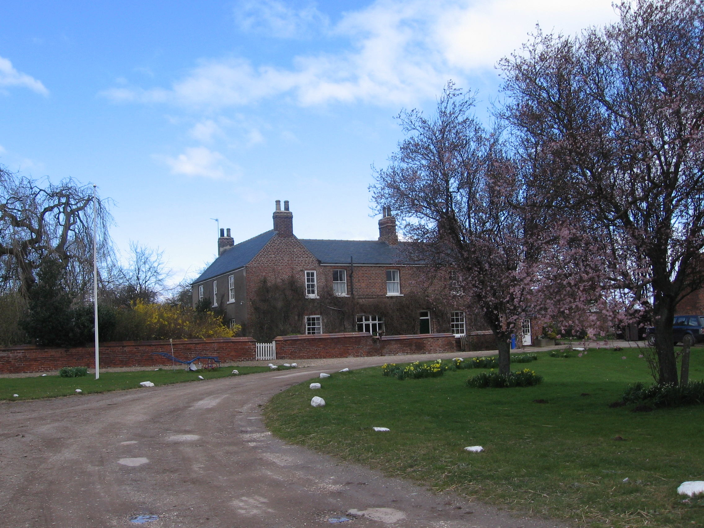
Eske
Eske is a hamlet in the East Riding of Yorkshire, England. It is situated approximately 3 miles (5 km) north-east of the town of Beverley and 1 mile...
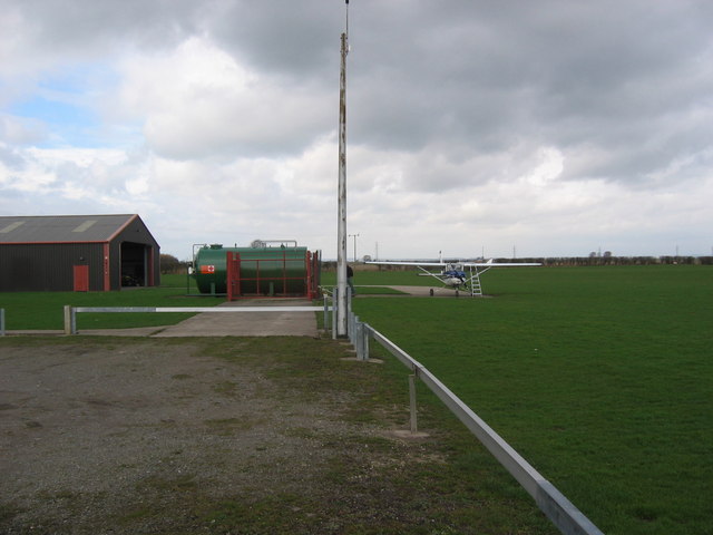
Beverley/Linley Hill Airfield
Beverley/Linley Hill Airfield (ICAO: EGNY) is an unlicensed aerodrome located 4 nautical miles (7.4 km; 4.6 mi) north-east of Beverley, East Riding of...

Aike
Aike ( ) is a hamlet and former civil parish, now in the parish of Lockington, in the East Riding of Yorkshire, England. The hamlet is centred around a...
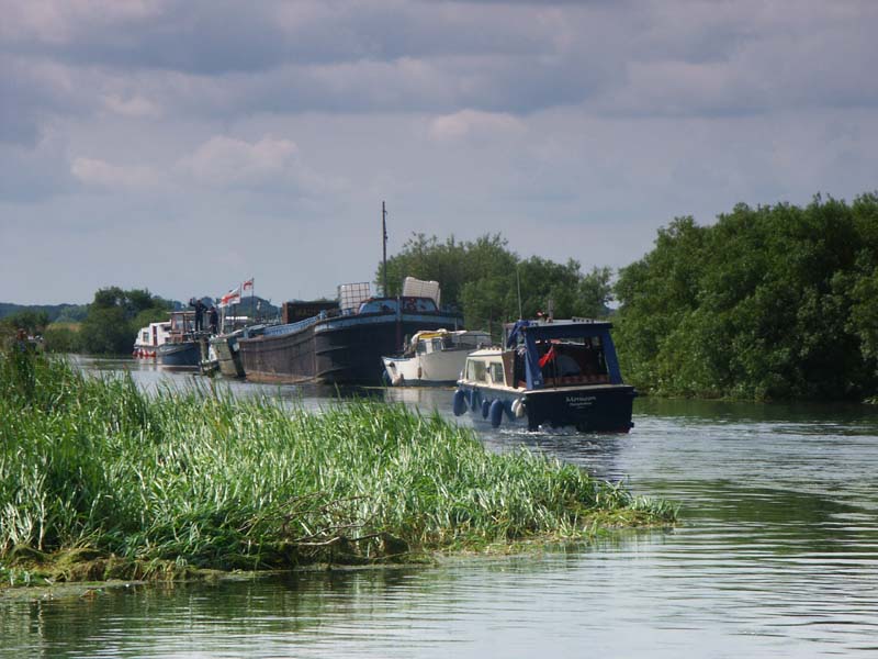
Wilfholme Landing
Wilfholme Landing is located on the Driffield Navigation in the East Riding of Yorkshire, England. The navigation is still tidal at this point, and is...
Related Videos
How We're (Ab)using Wilderness for Recreation
Join Darkwolf on a first person walk around the nature trail of High Eske reserve near Hull, England. This route presents a very ...
ROUTH: East Riding of Yorkshire Parish #99 of 172
EAST RIDING OF YORKSHIRE PARISH #99: ROUTH The next location along the A1035 to the East from Tickton, welcome to the ...

Into Beverley
Flexwing Microlight turning onto final RWY30.

A Flight To The Coast
Flying to the coast with Barry.
Nearby Amenities
Located within 500m of 53.886797,-0.3773463Have you been to Eske Boundary Plantation?
Leave your review of Eske Boundary Plantation below (or comments, questions and feedback).