Barlings Park
Wood, Forest in Lincolnshire West Lindsey
England
Barlings Park

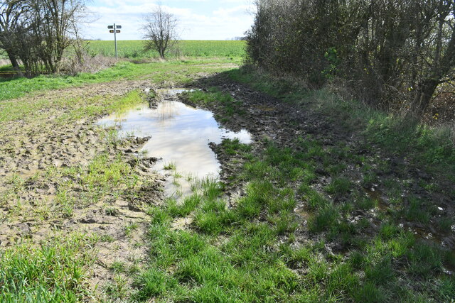
Barlings Park is a picturesque woodland area situated in the county of Lincolnshire, England. This sprawling forest covers an area of approximately 300 acres and is known for its natural beauty and tranquil atmosphere. The park is located near the village of Barlings, which is about 7 miles from the city of Lincoln.
The woodland in Barlings Park is predominantly made up of various species of trees, including oak, beech, and birch. These trees provide a dense canopy, creating a peaceful and secluded environment for visitors. The forest floor is covered in a lush carpet of ferns, wildflowers, and moss, adding to the park's charm and beauty.
Barlings Park is a popular destination for nature enthusiasts, walkers, and birdwatchers. The diverse ecosystem within the woodland attracts a wide variety of birds, including woodpeckers, owls, and various songbirds. The park also boasts several walking trails, allowing visitors to explore the forest and enjoy the tranquil surroundings.
In addition to its natural beauty, Barlings Park also has a rich history. The area was once part of a medieval deer park, and remnants of the old park wall can still be seen today. The park also features a small lake, which was created in the 19th century and is home to a variety of waterfowl.
Overall, Barlings Park is a hidden gem in Lincolnshire, offering visitors a chance to escape the hustle and bustle of daily life and immerse themselves in the beauty of nature. Whether you are a nature lover, a history enthusiast, or simply seeking a peaceful retreat, Barlings Park is a must-visit destination.
If you have any feedback on the listing, please let us know in the comments section below.
Barlings Park Images
Images are sourced within 2km of 53.260222/-0.40201585 or Grid Reference TF0674. Thanks to Geograph Open Source API. All images are credited.


Barlings Park is located at Grid Ref: TF0674 (Lat: 53.260222, Lng: -0.40201585)
Administrative County: Lincolnshire
District: West Lindsey
Police Authority: Lincolnshire
What 3 Words
///pulsing.concluded.boxer. Near Sudbrooke, Lincolnshire
Nearby Locations
Related Wikis

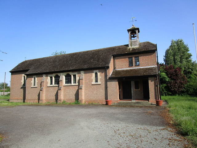
Barlings
Barlings and Low Barlings are two small hamlets lying south off the A158 road at Langworth, about 7 miles (11 km) east of Lincoln in the West Lindsey district...

Langworth
Langworth is a small village in the West Lindsey district of Lincolnshire, England. It is situated 6 miles (10 km) north-east from the city and county...

Newball
Newball is a settlement and civil parish about 7 miles from Lincoln, in the West Lindsey district, in the county of Lincolnshire, England. In 2001 the...

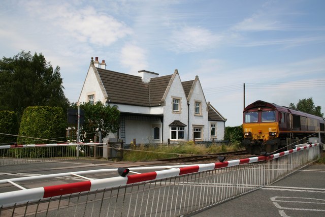
Langworth railway station
Langworth railway station was a railway station in Langworth, Lincolnshire, opened in 1848 and closed in 1965. On 30 June 2015, a freight train was derailed...
RAF Fiskerton
Royal Air Force Fiskerton or more simply RAF Fiskerton was a Royal Air Force station located north of the Lincolnshire village of Fiskerton, 5.0 miles...
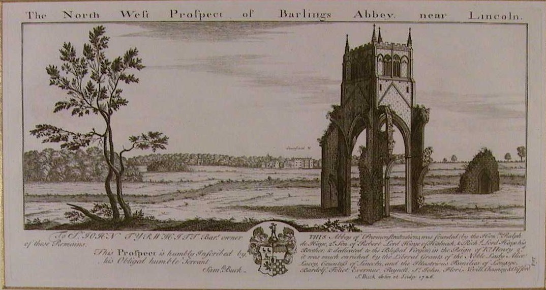
Barlings Abbey
Barlings Abbey was a one of nine Premonstratensian monasteries in the historical county of Lincolnshire, England. It was founded in 1154, as a daughter...
Reepham railway station (Lincolnshire)
Reepham railway station was a railway station in Reepham, Lincolnshire which opened in 1848 and closed in 1965, though the line is still in use. It was...
Holme, West Lindsey
Holme is the site of a lost settlement in West Lindsey, Lincolnshire, England. It is situated approximately 4 miles (6 km) north-east from the city of...
Nearby Amenities
Located within 500m of 53.260222,-0.40201585Have you been to Barlings Park?
Leave your review of Barlings Park below (or comments, questions and feedback).