Browne's Oaks
Wood, Forest in Lincolnshire South Kesteven
England
Browne's Oaks
Browne's Oaks is a picturesque woodland area located in the county of Lincolnshire, England. Nestled amidst the rolling hills and lush greenery, this woodland is a haven for nature enthusiasts and those seeking tranquility away from the bustling city life.
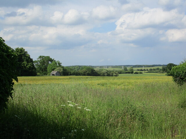
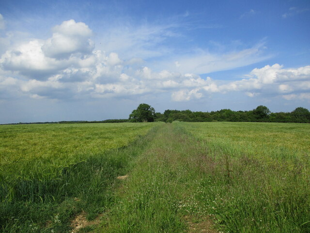
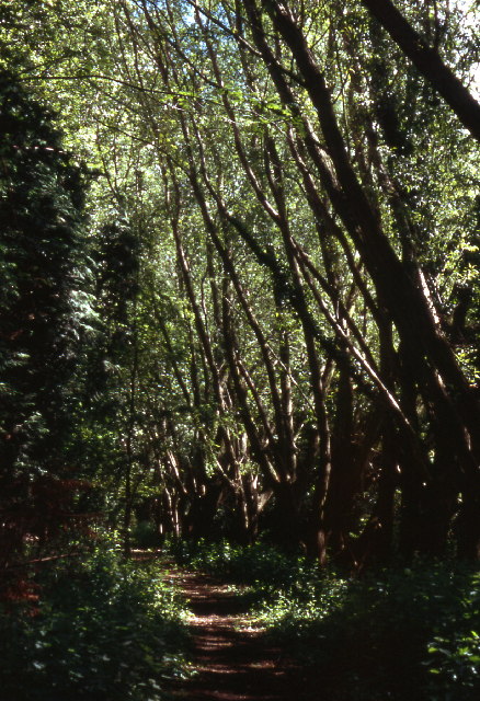
Covering an expansive area of approximately 100 acres, Browne's Oaks is known for its diverse range of trees, including oak, beech, and birch. These majestic trees create a dense canopy that provides shade and shelter for an abundance of wildlife. From squirrels and rabbits to an array of bird species, the woodland is teeming with animal life.
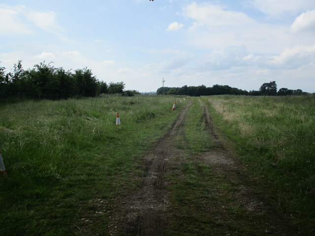
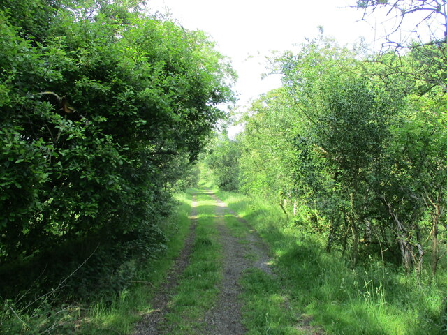
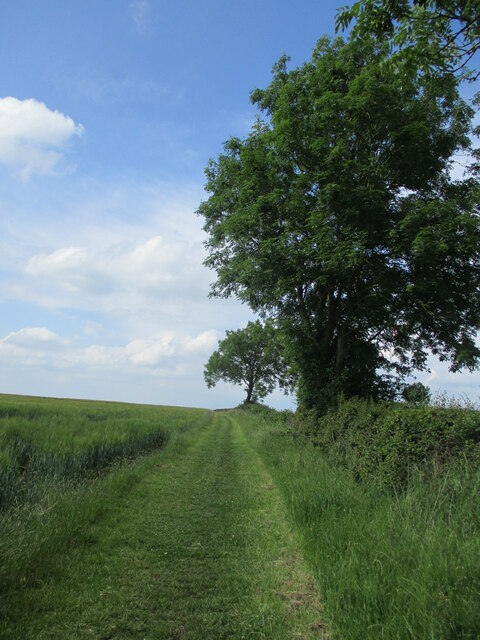
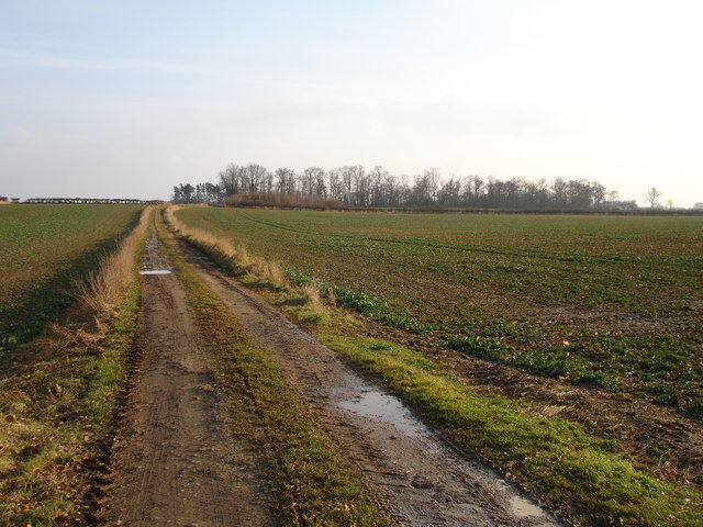
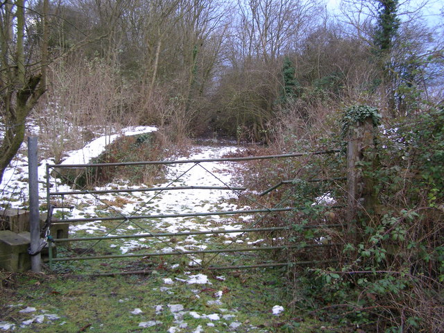
The woodland is crisscrossed by a network of well-maintained walking trails, allowing visitors to explore its beauty at their own pace. These paths meander through the forest, offering glimpses of wildflowers, ferns, and moss-covered rocks along the way. The atmosphere is peaceful and serene, making it an ideal spot for a leisurely stroll or a peaceful picnic.
Browne's Oaks is a popular destination for nature photographers and artists, who find inspiration in its natural beauty. Additionally, the woodland is a favored spot for birdwatchers, as it attracts a variety of species throughout the year, including woodpeckers, owls, and finches.
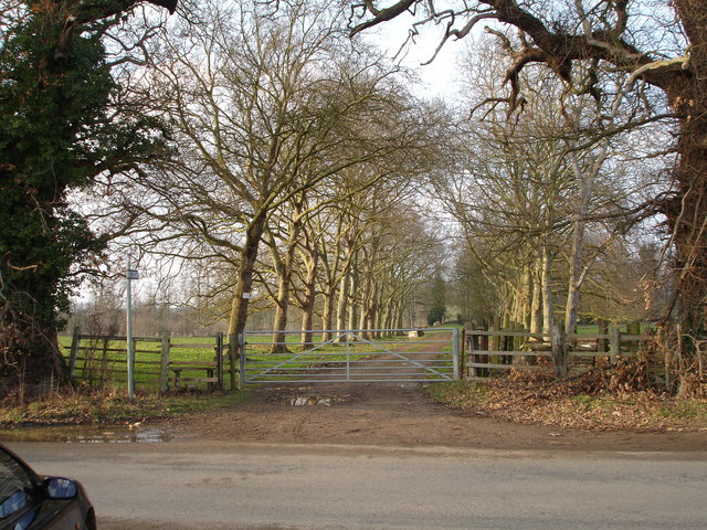
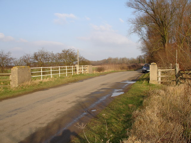
Visitors to Browne's Oaks can also enjoy various recreational activities such as camping, cycling, and horseback riding. Facilities such as picnic areas, parking lots, and restrooms are available to ensure visitors have a comfortable experience.
In conclusion, Browne's Oaks, Lincolnshire, is a captivating woodland that offers a respite from the fast-paced urban lifestyle. With its diverse flora and fauna, tranquil atmosphere, and recreational opportunities, it is a hidden gem for nature lovers and a must-visit destination in Lincolnshire.
If you have any feedback on the listing, please let us know in the comments section below.
Browne's Oaks Images
Images are sourced within 2km of 52.681766/-0.42473485 or Grid Reference TF0610. Thanks to Geograph Open Source API. All images are credited.


Browne's Oaks is located at Grid Ref: TF0610 (Lat: 52.681766, Lng: -0.42473485)
Administrative County: Lincolnshire
District: South Kesteven
Police Authority: Lincolnshire
What 3 Words
///holdings.router.dreamers. Near Essendine, Rutland
Nearby Locations
Related Wikis

Uffington Rural District
Uffington was a rural district in Lincolnshire, Parts of Kesteven from 1894 to 1931. It was created in 1894 from that part of the Stamford rural sanitary...
Barholm and Stowe
Barholm and Stowe is a civil parish in the South Kesteven district of Lincolnshire, England. According to the 2001 census it had a population of 87 in...
Braceborough
Braceborough is a village in the South Kesteven district of Lincolnshire, England. It is situated off the Stamford to Bourne A6121 road, just west of the...
Ryhall railway station
Ryhall & Belmesthorpe railway station (originally Ryhall & Belmisthorpe) was a station in Belmesthorpe and about half a mile from Ryhall, both in Rutland...

Greatford
Greatford is a village and civil parish in the South Kesteven district of Lincolnshire, England. It is situated 2 miles (3 km) west from the A15, 4.5 miles...

Essendine railway station
Essendine railway station was a station in Essendine, Rutland. It was situated on the East Coast Main Line of the Great Northern Railway. == Overview... ==
Ryhall
Ryhall is a village and civil parish in the county of Rutland in the East Midlands of England. It is situated close to the eastern boundary of the county...

Church of St Mary Magdalene, Essendine
The Church of St Mary Magdalene is a church in Essendine, Rutland. It is a Grade II* listed building. == History == The small church is built within the...
Nearby Amenities
Located within 500m of 52.681766,-0.42473485Have you been to Browne's Oaks?
Leave your review of Browne's Oaks below (or comments, questions and feedback).