Quern Dyke Holt

Wood, Forest in Lincolnshire North Kesteven

England

Quern Dyke Holt

Country road near Potterhanworth The road ends shortly.
Country road near Potterhanworth Credit: Stephen Richards

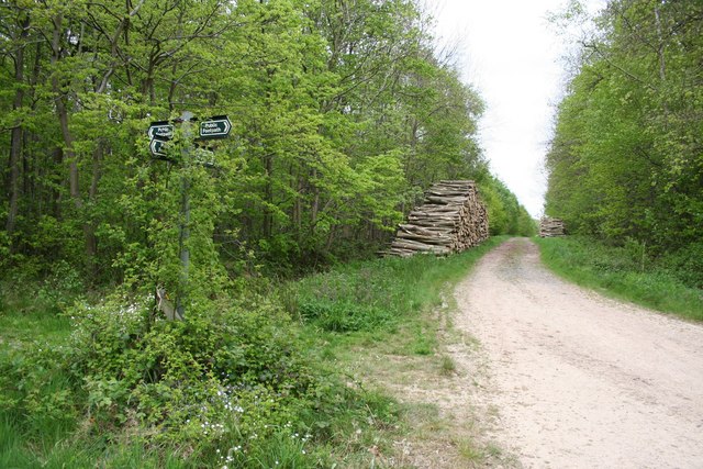
Quern Dyke Holt is a woodland area located in Lincolnshire, England. It is situated near the village of Wood, in the district of Forest. The name "Quern Dyke Holt" is derived from the Old English words "quern," meaning a hand mill used for grinding grain, "dyke," referring to a ditch or trench, and "holt," meaning a small wood or copse.

Covering an area of approximately X acres, Quern Dyke Holt is a picturesque woodland that offers a diverse range of flora and fauna. The wood is characterized by a mixture of broadleaf and coniferous trees, including oak, beech, birch, and pine. These trees provide a dense canopy, creating a habitat for a variety of wildlife species.

The woodland is intersected by a network of footpaths, allowing visitors to explore the area and enjoy its natural beauty. These paths lead to several clearings and glades within the wood, providing peaceful spots for picnics or simply soaking in the tranquil surroundings.

Quern Dyke Holt is also home to a small stream that meanders through the woodland, adding to its charm. The stream attracts a range of water-loving birds and insects, making it an ideal spot for birdwatching and nature photography.

Managed by the local authorities, Quern Dyke Holt is open to the public throughout the year. It provides an excellent opportunity for nature lovers, walkers, and families to connect with the natural environment and experience the beauty of Lincolnshire's woodlands.

If you have any feedback on the listing, please let us know in the comments section below.

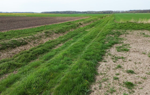
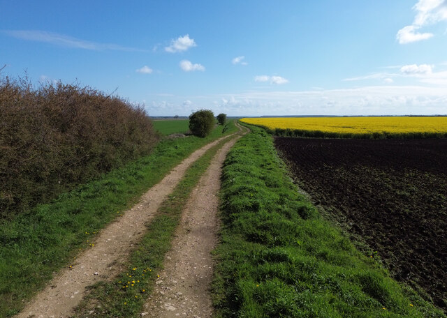
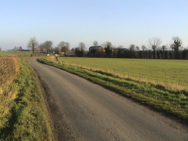
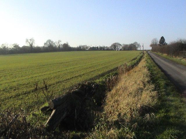
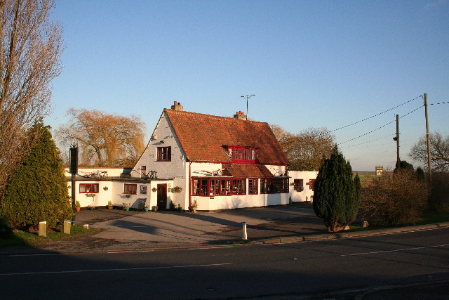
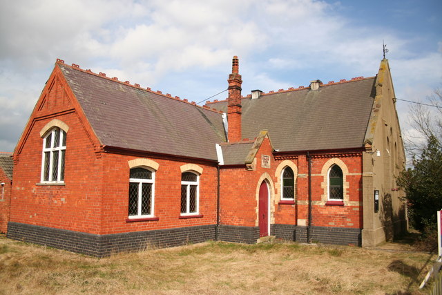
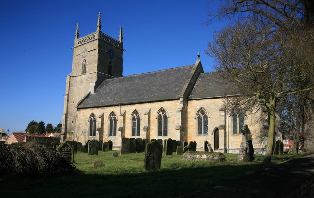
Quern Dyke Holt Images

Images are sourced within 2km of 53.191169/-0.40656041 or Grid Reference TF0667. Thanks to Geograph Open Source API. All images are credited.

Country road near Potterhanworth The road ends shortly.
Country road near Potterhanworth
The road ends shortly.
Interior, St Andrew's church, Potterhanworth A cake sale was in progress.
Interior, St Andrew's church, Potterhanworth
A cake sale was in progress.
East window, St Andrew's church, Potterhanworth Four light window by Wailes.
East window, St Andrew's church, Potterhanworth
Four light window by Wailes.
Stained glass window, St Andrew's church, Potterhanworth South chancel window featuring Moses.
Stained glass window, St Andrew's church, Potterhanworth
South chancel window featuring Moses.
Stained glass window, St Andrew's church, Potterhanworth Featuring St George and St Martin.

In memory of Arthur Newsum Battle, 2nd Lieutenant, Lincolnshire Regiment, who fell in Gallipoli in 1915, aged 21.
Stained glass window, St Andrew's church, Potterhanworth
Featuring St George and St Martin. In memory of Arthur Newsum Battle, 2nd Lieutenant, Lincolnshire Regiment, who fell in Gallipoli in 1915, aged 21.
St Andrew's church, Potterhanworth From the north.
St Andrew's church, Potterhanworth
From the north.
Drain and Track, Potterhanworth Fen Potterhanworth Wood in the distance.
Drain and Track, Potterhanworth Fen
Potterhanworth Wood in the distance.
Drain with reeds, Potterhanworth Fen
Track to Potterhanworth Fen
Branston Booths Looking E on Moor Lane. The road crosses a white-railed bridge over a drain, with the hamlet of Branston Booths in the background.
Branston Booths
Looking E on Moor Lane. The road crosses a white-railed bridge over a drain, with the hamlet of Branston Booths in the background.
Branston Moor Looking WSW up Moor Lane, with Moorland Farm in the trees on the skyline.
Branston Moor
Looking WSW up Moor Lane, with Moorland Farm in the trees on the skyline.
St.Andrew's church, Potterhanworth, Lincs. Medieval Decorated gothic tower and mid-19th century nave & chancel
St.Andrew's church, Potterhanworth, Lincs.
Medieval Decorated gothic tower and mid-19th century nave & chancel
Potterhanworth Water Tower Potterhanworth Water Tower was built in 1903 with a tank capacity of 37,000 gallons filled from a 150ft deep artesian bore hole in a nearby field. It was financed by an Endowment from Christ's Hospital as the 16th century philanthropist Dr.Richard Smith, founder of Christ's Hospital in Lincoln had land in Potterhanworth .... his coat of arms can be seen in the brickwork. The two rooms below the tank were used for Parish Council meetings, the Men's Institute and, during the war for the Home Guard platoon. The tower was declared redundant in 1978 and tastefully converted to a private house in 1995.
Potterhanworth Water Tower
Potterhanworth Water Tower was built in 1903 with a tank capacity of 37,000 gallons filled from a 150ft deep artesian bore hole in a nearby field. It was financed by an Endowment from Christ's Hospital as the 16th century philanthropist Dr.Richard Smith, founder of Christ's Hospital in Lincoln had land in Potterhanworth .... his coat of arms can be seen in the brickwork. The two rooms below the tank were used for Parish Council meetings, the Men's Institute and, during the war for the Home Guard platoon. The tower was declared redundant in 1978 and tastefully converted to a private house in 1995.
The Plough Inn At the foot of the hill at Potterhanworth Booths, the Plough Inn is the only pub for miles
The Plough Inn
At the foot of the hill at Potterhanworth Booths, the Plough Inn is the only pub for miles
Branston Booths Wesleyan Chapel Built in 1911, now redundant and for sale
Branston Booths Wesleyan Chapel
Built in 1911, now redundant and for sale
The B1190 - "Bardney Causeway" The road runs for 4 kilometres across the fenland - almost dead straight. Raised above the surrounding land, there are deep drains on each side. Subsidence has caused slight undulations. High speed is tempting, but quite a few cars have ended up in the fields or the drains.
The B1190 - "Bardney Causeway"
The road runs for 4 kilometres across the fenland - almost dead straight. Raised above the surrounding land, there are deep drains on each side. Subsidence has caused slight undulations. High speed is tempting, but quite a few cars have ended up in the fields or the drains.
POW camp Potterhanworth prisoner of war camp, a relic of WW2 that once housed German and Italian POWs
POW camp
Potterhanworth prisoner of war camp, a relic of WW2 that once housed German and Italian POWs
Potterhanworth Camp POW camp, disused since WW2 near Potterhanworth
Potterhanworth Camp
POW camp, disused since WW2 near Potterhanworth
Show me another place!

Quern Dyke Holt is located at Grid Ref: TF0667 (Lat: 53.191169, Lng: -0.40656041)

Administrative County: Lincolnshire

District: North Kesteven

Police Authority: Lincolnshire

What 3 Words

///saturate.summaries.episode. Near Heighington, Lincolnshire

Nearby Locations

Quern Dyke Holt

Related Wikis

Potterhanworth Wood

Potterhanworth Wood (grid reference TF070670) is a 32.0 hectare woodland, close to the village of Potterhanworth in North Kesteven, Lincolnshire, England...

Branston Booths

Branston Booths is a small village in the North Kesteven district of Lincolnshire, England. The village is situated approximately 5 miles (8 km) east from...

Potterhanworth Booths

Potterhanworth Booths is a hamlet in the North Kesteven district of Lincolnshire, England. It is situated 6 miles (10 km) south-east from Lincoln, and...

Potterhanworth

Potterhanworth is a village and civil parish in the North Kesteven district of Lincolnshire, England. The population of the civil parish at the 2011 census...

Nearby Amenities

Located within 500m of 53.191169,-0.40656041
Power: pole
Lat/Long: 53.193697/-0.4025137
Power: pole
Lat/Long: 53.19326/-0.4038334
Power: pole
Lat/Long: 53.1941494/-0.4012035
Power: pole
Lat/Long: 53.1914513/-0.4097973
Power: pole
Lat/Long: 53.1910519/-0.4109452
Power: pole
Lat/Long: 53.1903963/-0.413256
Power: pole
Lat/Long: 53.1923906/-0.4064713
Power: pole
Lat/Long: 53.1926775/-0.4107601
Power: pole
Lat/Long: 53.1916562/-0.4087995
Power: pole
Lat/Long: 53.1919454/-0.4077588
Power: pole
Lat/Long: 53.1907112/-0.4121415
Power: pole
Lat/Long: 53.1913735/-0.4097999
Power: pole
Lat/Long: 53.1928246/-0.4051637
Power: pole
Lat/Long: 53.1921625/-0.4103537
The Gap in the Hedge
Place: isolated_dwelling
Source: Bing
Lat/Long: 53.1927325/-0.4103548
The data included in this document is from www.openstreetmap.org. The data is made available under ODbL.

Have you been to Quern Dyke Holt?

Leave your review of Quern Dyke Holt below (or comments, questions and feedback).