Kiln Copse
Wood, Forest in Surrey Waverley
England
Kiln Copse
Kiln Copse is a scenic wood located in Surrey, England. Covering an area of approximately 50 acres, it is nestled in the heart of the Surrey Hills, an Area of Outstanding Natural Beauty. The copse is characterized by its dense woodland, rich biodiversity, and tranquil atmosphere, making it a popular destination for nature enthusiasts and hikers alike.
The copse is predominantly composed of broadleaf trees such as oak, beech, and birch, creating a diverse and vibrant woodland ecosystem. These trees provide a haven for a wide variety of wildlife, including numerous bird species, small mammals, and insects. Walking through Kiln Copse, visitors may catch glimpses of woodpeckers, red kites, and deer, among other creatures.
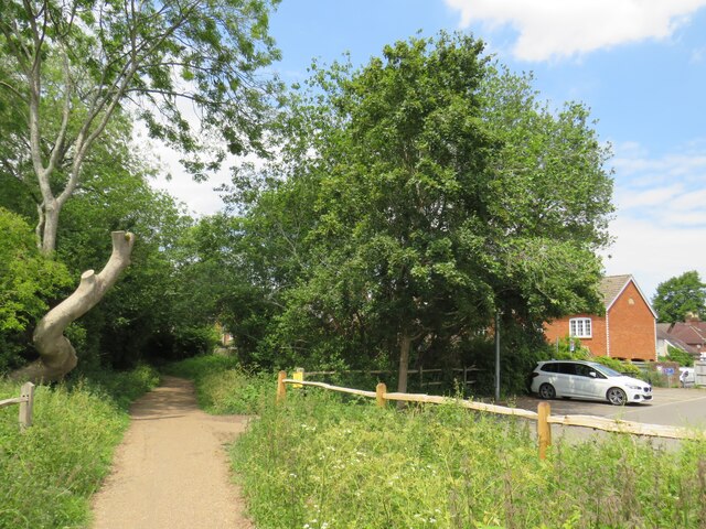
The woodland floor is carpeted with a lush undergrowth, featuring ferns, bluebells, and wild garlic, which add to the copse's natural charm. A network of well-maintained footpaths winds its way through the wood, allowing visitors to explore and discover its hidden treasures.
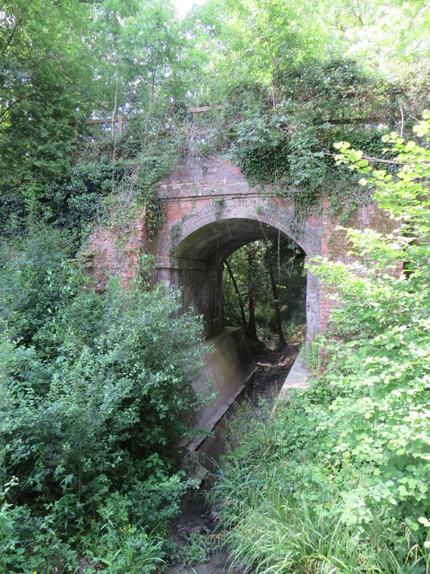
Kiln Copse has a fascinating history as well. In the past, the area was used for charcoal production, with several kilns scattered throughout the woodland. These kilns have since been abandoned, but remnants of their structures can still be seen, serving as a reminder of the copse's industrial past.
Overall, Kiln Copse offers a peaceful and picturesque setting for those seeking a retreat into nature. Its verdant woodland, diverse wildlife, and intriguing history make it an enchanting destination for visitors of all ages.
If you have any feedback on the listing, please let us know in the comments section below.
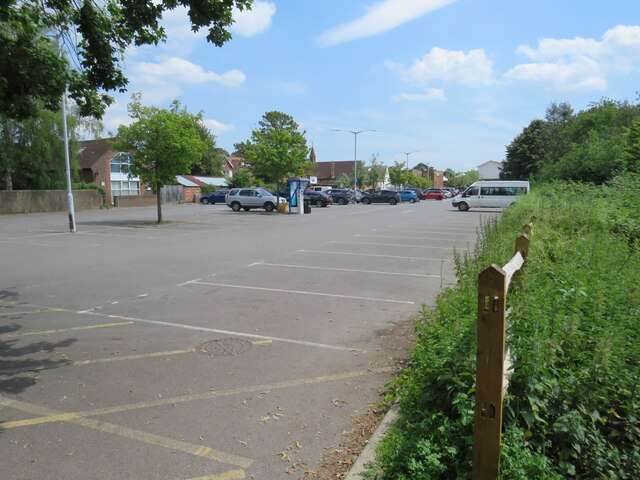
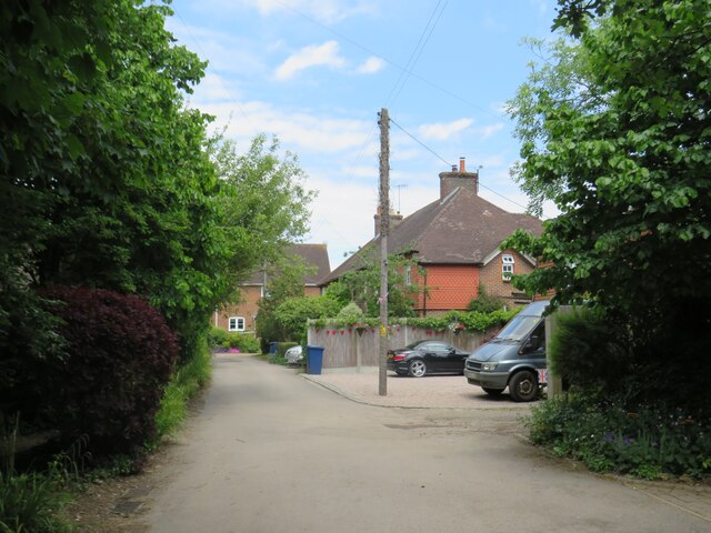
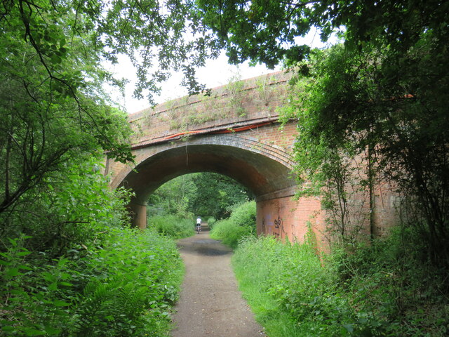
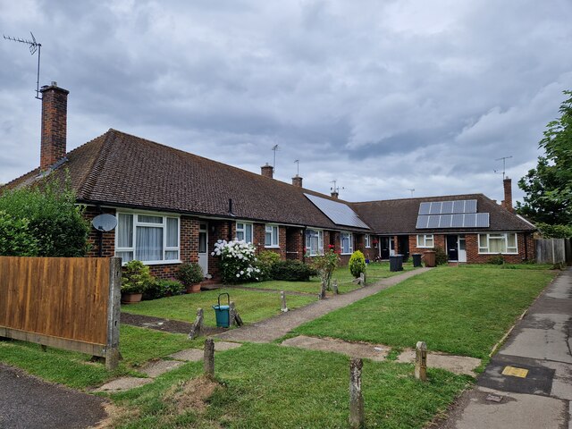
Kiln Copse Images
Images are sourced within 2km of 51.147734/-0.47805107 or Grid Reference TQ0639. Thanks to Geograph Open Source API. All images are credited.


Kiln Copse is located at Grid Ref: TQ0639 (Lat: 51.147734, Lng: -0.47805107)
Administrative County: Surrey
District: Waverley
Police Authority: Surrey
What 3 Words
///deluded.cotton.handfuls. Near Cranleigh, Surrey
Nearby Locations
Related Wikis

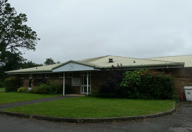
Glebelands School
Glebelands School is a county-funded and charity-supported secondary school in Cranleigh, Surrey, England. It is co-educational and takes students aged...
Cranleigh School
Cranleigh School is a public school (English fee-charging boarding and day school) in the village of Cranleigh, Surrey. == History == It was opened on...

Cranleigh railway station
Cranleigh was a railway station on the Cranleigh Line between Guildford and Horsham. It served the village of Cranleigh, Surrey in southern England....
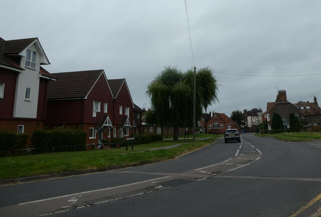
Cranleigh
Cranleigh is a village and civil parish, about 8 miles (13 km) southeast of Guildford in Surrey, England. It lies on a minor road east of the A281, which...

Sayer's Croft LNR
Sayer's Croft is a 10.9-hectare (27-acre) Local Nature Reserve west of Ewhurst in Surrey. It is owned by the Sayer's Croft Environmental Education Trust...
Sayers Croft
Sayers Croft is a large outdoor 'learning camp' located in the village of Ewhurst, Surrey. It is one of the few remaining 'Camp schools' built by the National...

Ewhurst, Surrey
Ewhurst is a rural village and civil parish in the borough of Waverley in Surrey, England. It is located 8.3 miles (13.4 km) south-east of Guildford,...

Marylands
Marylands is a Spanish-style country house on Pitch Hill, a rural part of Ewhurst, Surrey, England. It is a Grade II* listed building, designed during...
Nearby Amenities
Located within 500m of 51.147734,-0.47805107Have you been to Kiln Copse?
Leave your review of Kiln Copse below (or comments, questions and feedback).