Fir Plantation

Wood, Forest in Sussex Horsham

England

Fir Plantation

Parham House One of Simon Jenkins top country houses  - a fine house in an even finer setting twixt downs and vale
Parham House Credit: David M Clark

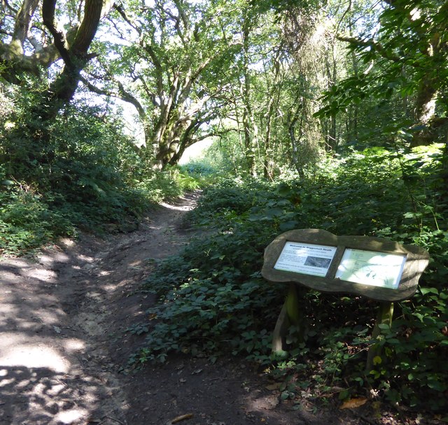
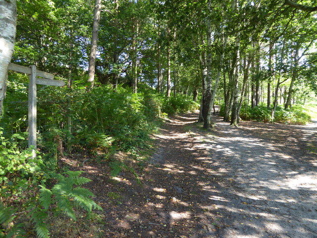
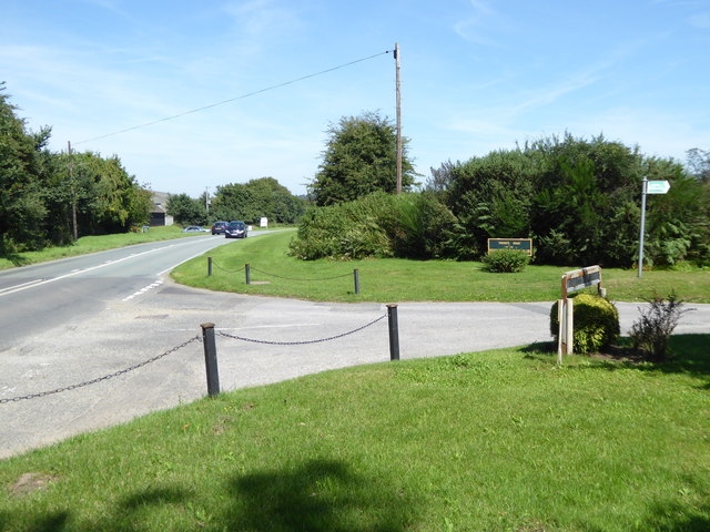
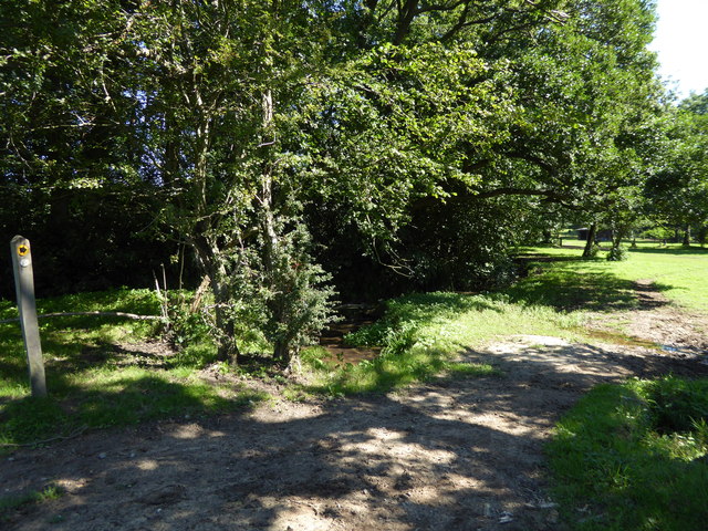
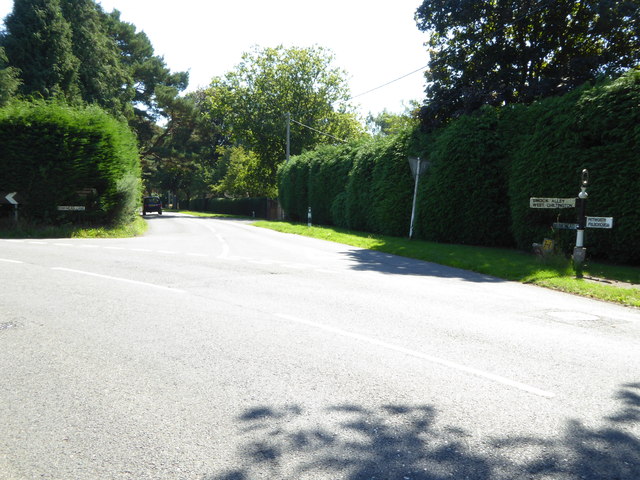
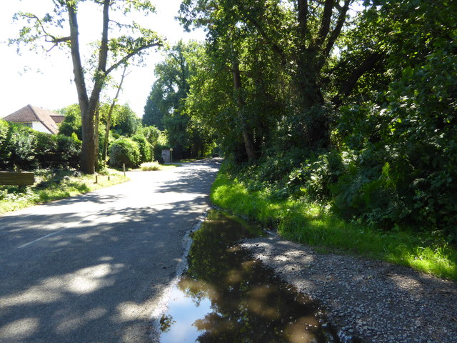
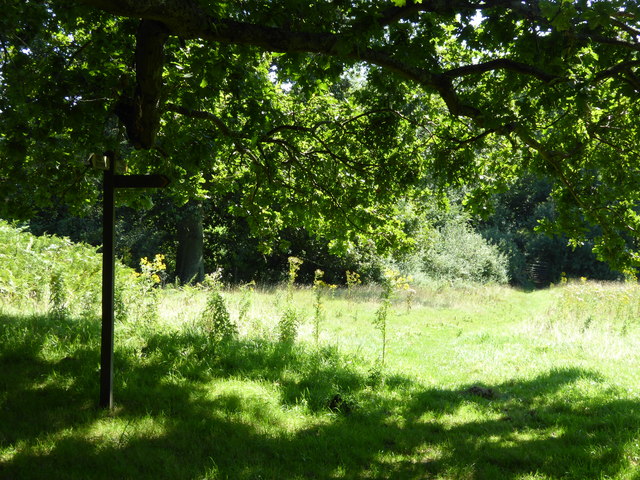
Fir Plantation is a sizable woodland area located in Sussex, England. Covering an expansive area, it is home to a dense and diverse population of fir trees, hence its name. The plantation is a testament to the region's commitment to environmental conservation and natural preservation.

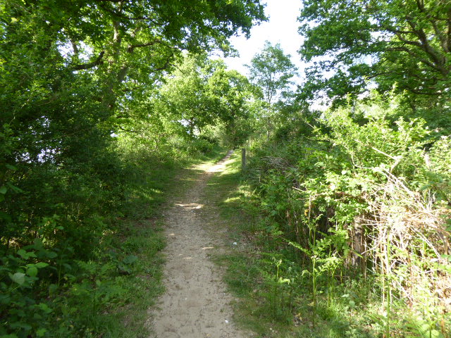
The firs in this woodland are primarily of the species Abies alba, also known as the European silver fir. These majestic evergreen trees can reach heights of up to 50 meters, creating a breathtaking canopy that provides shade and shelter to various flora and fauna. The plantation's well-maintained trails allow visitors to explore the woodland and appreciate the beauty of the towering firs up close.

Throughout the year, the Fir Plantation offers a stunning display of colors. In spring, the trees are adorned with vibrant green foliage, which gradually deepens into dark green during the summer months. Come autumn, the forest transforms into a vibrant tapestry of oranges, yellows, and reds as the leaves change before falling to the forest floor.

The woodland is not only aesthetically pleasing but also serves as an important habitat for numerous wildlife species. The dense foliage and shelter provided by the firs attract a wide variety of birds, such as woodpeckers, owls, and finches. Additionally, small mammals like squirrels and rabbits can be spotted darting through the undergrowth.

Fir Plantation is a cherished natural resource in Sussex, providing a serene and picturesque escape for nature lovers and outdoor enthusiasts. Whether one seeks solitude, a leisurely walk, or a chance to immerse oneself in the wonders of nature, this woodland offers a truly captivating experience.

If you have any feedback on the listing, please let us know in the comments section below.

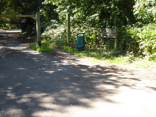
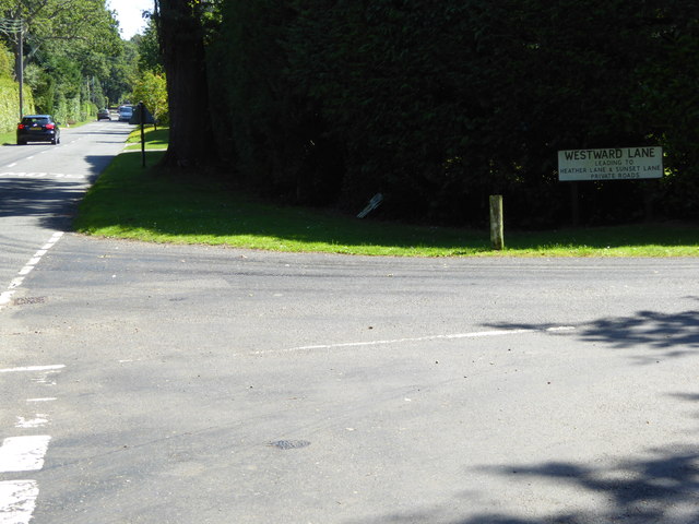
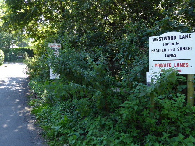
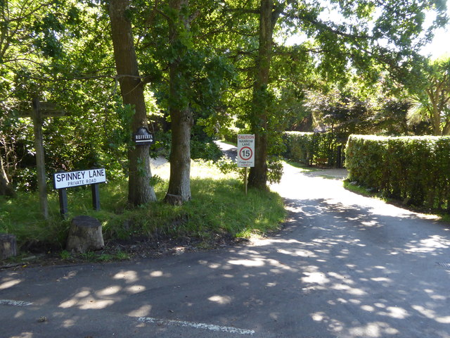
Fir Plantation Images

Images are sourced within 2km of 50.934353/-0.48568118 or Grid Reference TQ0616. Thanks to Geograph Open Source API. All images are credited.

Parham House One of Simon Jenkins top country houses  - a fine house in an even finer setting twixt downs and vale
Parham House
One of Simon Jenkins top country houses - a fine house in an even finer setting twixt downs and vale
Signpost at junction on Greatham Lane
Looking westwards on Greatham Road See also <a title="https://www.geograph.org.uk/photo/1336134" href="https://www.geograph.org.uk/photo/1336134">Link</a> and <a href="https://www.geograph.org.uk/photo/4625837">TQ0615 : Signpost at junction on Greatham Lane</a>.
Looking westwards on Greatham Road
Junction of Greatham Lane and Rackham Street Rackham Street is the more minor road.
See also <a title="https://www.geograph.org.uk/photo/1328721" href="https://www.geograph.org.uk/photo/1328721">Link</a>.
Junction of Greatham Lane and Rackham Street
Rackham Street is the more minor road. See also Link.
Bridleway on Wiggonholt Common
Junction of footpath and bridleway on Wiggonholt Common
Church at Wiggonholt See <a title="https://www.geograph.org.uk/photo/159396" href="https://www.geograph.org.uk/photo/159396">Link</a> for picture from 2000.
Church at Wiggonholt
See Link for picture from 2000.
View from the pulpit in Wiggonholt church
Road beside church at Wiggonholt
The A283 junction with road of the West Sussex Golf Club A wintry view is at <a title="https://www.geograph.org.uk/photo/1673786" href="https://www.geograph.org.uk/photo/1673786">Link</a>.
The A283 junction with road of the West Sussex Golf Club
A wintry view is at Link.
Path by the River Chilt This path is used by the West Sussex Literary Trail.
Path by the River Chilt
This path is used by the West Sussex Literary Trail.
Looking into Monkmead Lane from the north See <a title="https://www.geograph.org.uk/photo/246053" href="https://www.geograph.org.uk/photo/246053">Link</a> for a different view from 2006.
Looking into Monkmead Lane from the north
See Link for a different view from 2006.
Looking south on Monkmead Lane from bridleway junction
Bridleway goes south west from Monkmead Lane
Looking eastwards on Monkmead Lane from Westward Lane
Westward Lane
Westward Lane
The northern end of Spinney Lane
Footpath junction beneath oak tree This is between West Chiltington Common and Storrington.
Footpath junction beneath oak tree
This is between West Chiltington Common and Storrington.
Show me another place!

Fir Plantation is located at Grid Ref: TQ0616 (Lat: 50.934353, Lng: -0.48568118)

Administrative County: West Sussex

District: Horsham

Police Authority: Sussex

What 3 Words

///expect.organist.mixes. Near Storrington, West Sussex

Nearby Locations

Wiggonholt Fir Plantation

Related Wikis

Wiggonholt

Wiggonholt is a village and former civil parish, now in the parish of Parham, in the Horsham district of West Sussex, England. It is 1.5 miles (2.4 km...

Hurston Warren

Hurston Warren is a 69.1-hectare (171-acre) biological Site of Special Scientific Interest south-east of Pulborough in West Sussex.This site has a variety...

Parham Park SSSI

Parham Park SSSI is a 263.3-hectare (651-acre) biological Site of Special Scientific Interest in the grounds of Parham Park, west of Storrington in West...
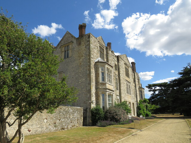
Parham Park

Parham Park is an Elizabethan house and estate in the civil parish of Parham, west of the village of Cootham, and between Storrington and Pulborough, West...

Pulborough Brooks

Pulborough Brooks is a 160-hectare (400-acre) biological Site of Special Scientific Interest south of Pulborough in West Sussex. It is part of the Pulborough...

Cootham

Cootham ( KOHT-əm, KOOT-) is a hamlet in the Horsham District of West Sussex, England. It lies on the A283 road 0.9 miles (1.4 km) west of Storrington...

Parham, West Sussex

Parham is a civil parish in the Horsham District of West Sussex, England. There was a village of Parham, around the parish church, but its few houses were...
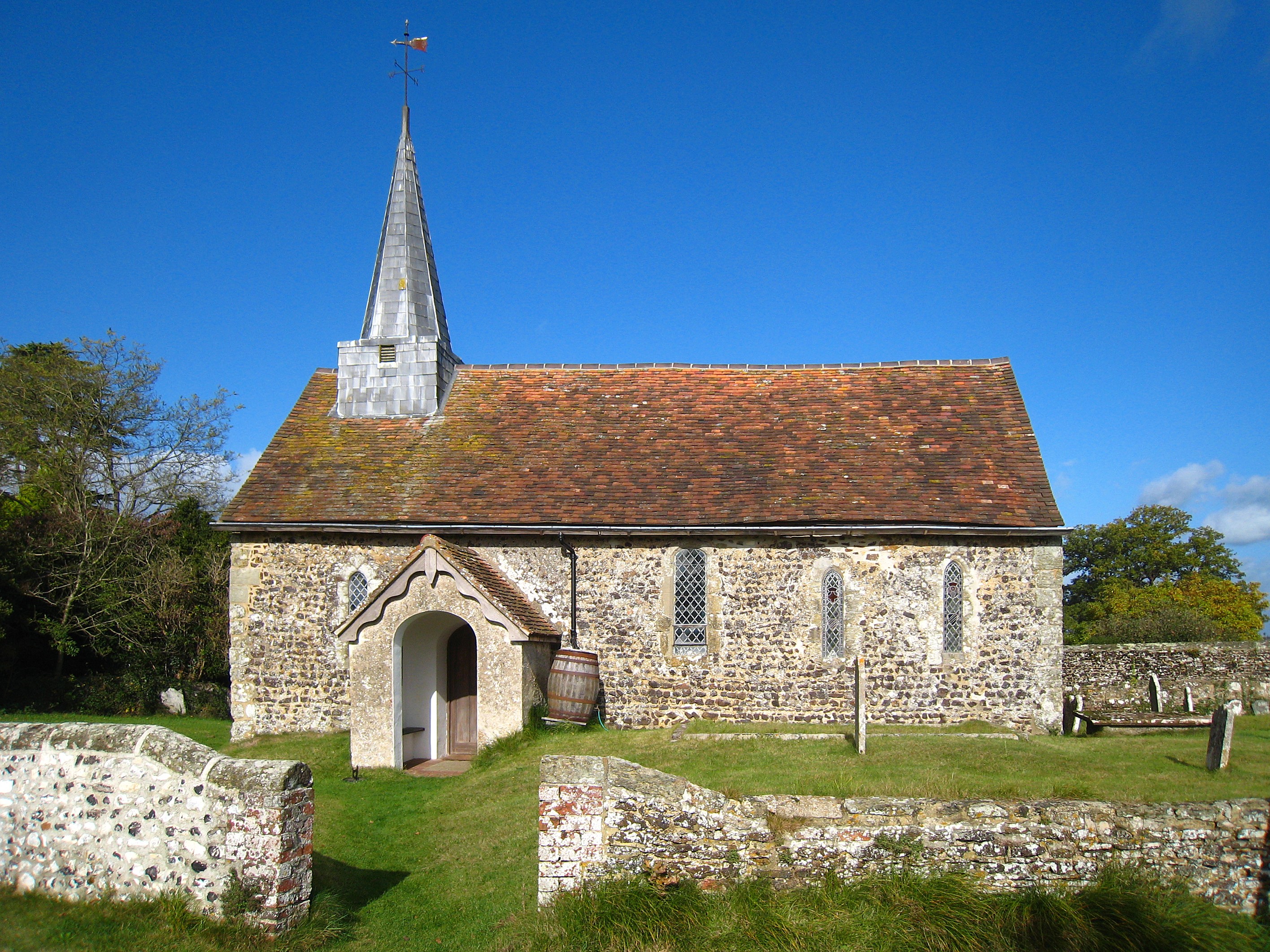
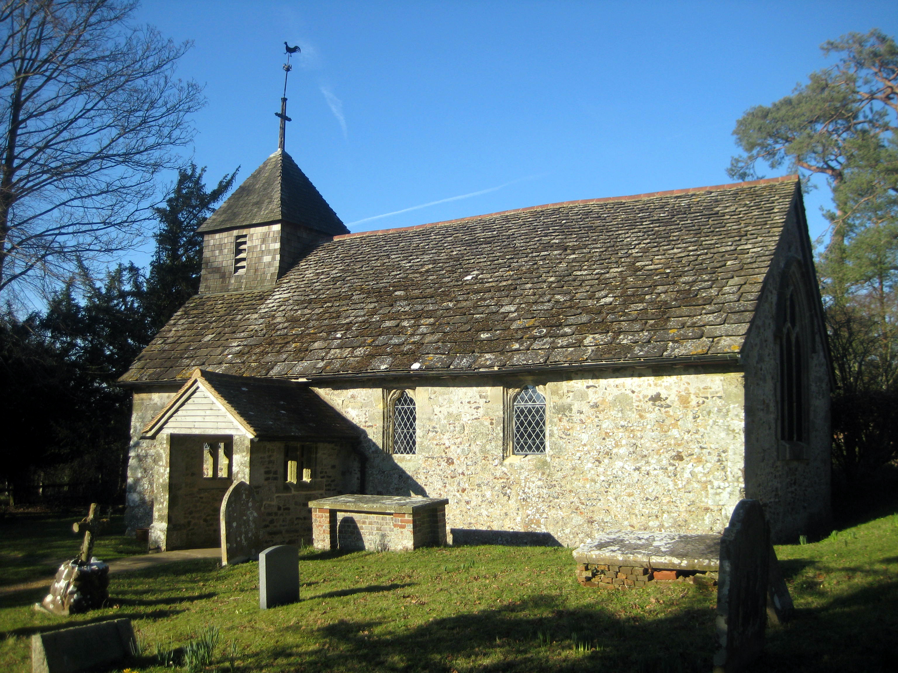
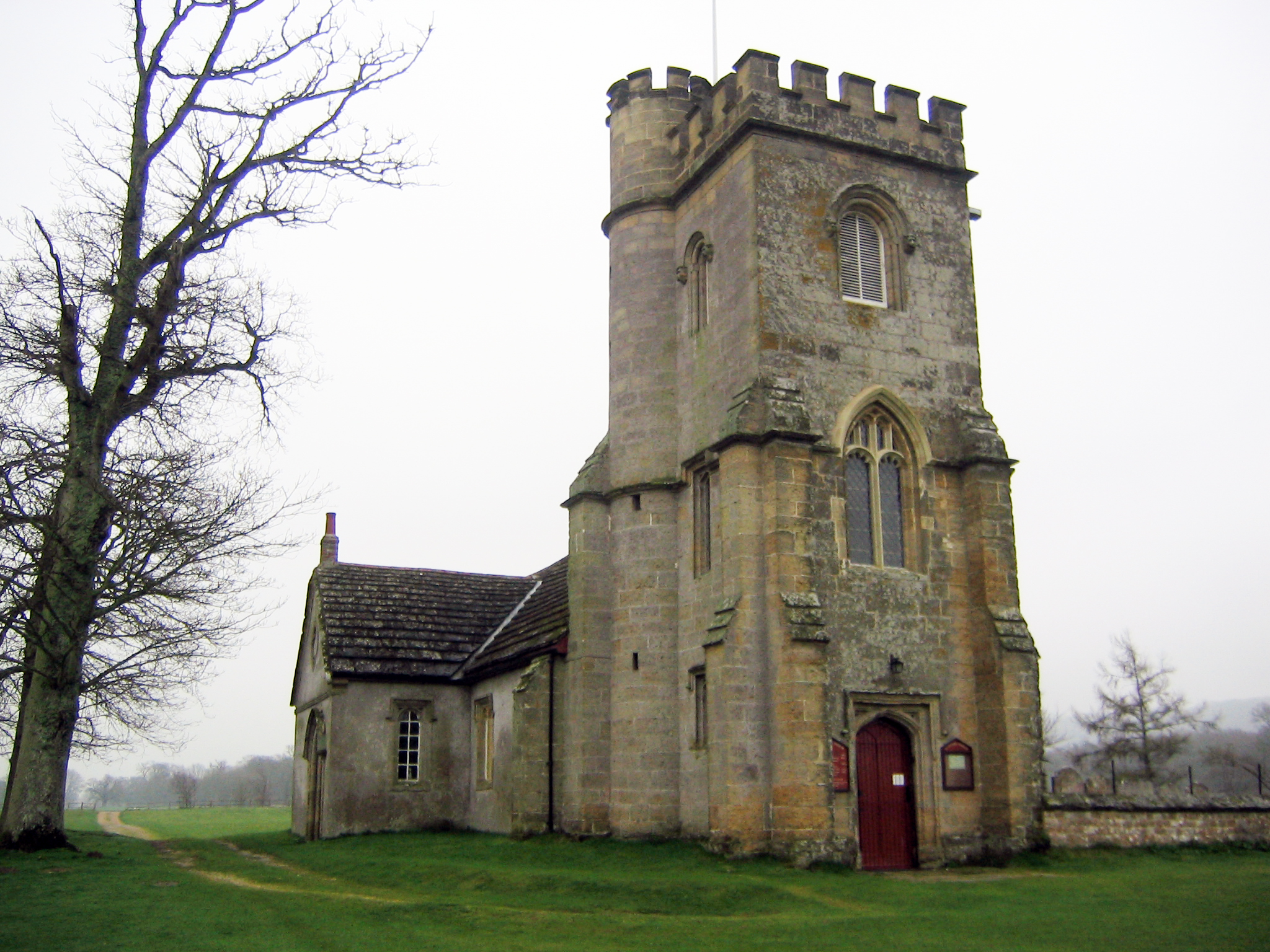
Greatham Church

Greatham Church (the dedication is unrecorded) is the Anglican parish church of the hamlet of Greatham in the district of Horsham, one of seven local government...

Nearby Amenities

Located within 500m of 50.934353,-0.48568118
Pulborough Road
Naptan AtcoCode: 4400HR0743
Naptan Bearing: SE
Naptan BusStopType: CUS
Naptan CommonName: Pullborough Road
Naptan Indicator: HAR
Naptan Landmark: Hail & Ride
Naptan NaptanCode: wsxdwdwa
Naptan Street: Pullborough Road
Naptan Verified: no
Source: naptan_import
Lat/Long: 50.9350553/-0.48719
Pulborough Road
Naptan AtcoCode: 4400HR0744
Naptan Bearing: NW
Naptan BusStopType: CUS
Naptan CommonName: Pullborough Road
Naptan Indicator: HAR
Naptan Landmark: Hail & Ride
Naptan NaptanCode: wsxdwdwd
Naptan Street: Pullborough Road
Naptan Verified: no
Source: naptan_import
Lat/Long: 50.9350212/-0.4873334
Pullborough Road
Naptan AtcoCode: 4400HR0745
Naptan Bearing: S
Naptan BusStopType: CUS
Naptan CommonName: Pullborough Road
Naptan Indicator: HAR
Naptan Landmark: Hail & Ride
Naptan NaptanCode: wsxdwdwg
Naptan Street: Pullborough Road
Naptan Verified: no
Source: naptan_import
Lat/Long: 50.930855/-0.4843805
Pullborough Road
Naptan AtcoCode: 4400HR0746
Naptan Bearing: N
Naptan BusStopType: CUS
Naptan CommonName: Pullborough Road
Naptan Indicator: HAR
Naptan Landmark: Hail & Ride
Naptan NaptanCode: wsxdwdwj
Naptan Street: Pullborough Road
Naptan Verified: no
Source: naptan_import
Lat/Long: 50.9308479/-0.484523
Naptan AtcoCode: 4400HR0775
Naptan Bearing: N
Naptan BusStopType: CUS
Naptan CommonName: Unnamed Road
Naptan Indicator: HAR
Naptan Landmark: Hail & Ride
Naptan NaptanCode: wsxdwgwj
Naptan Street: Unnamed Road
Naptan Verified: no
Noname: yes
Source: naptan_import
Lat/Long: 50.9349194/-0.4898843
Naptan AtcoCode: 4400HR0776
Naptan Bearing: S
Naptan BusStopType: CUS
Naptan CommonName: Unnamed Road
Naptan Indicator: HAR
Naptan Landmark: Hail & Ride
Naptan NaptanCode: wsxdwgwm
Naptan Street: Unnamed Road
Naptan Verified: no
Noname: yes
Source: naptan_import
Lat/Long: 50.9349186/-0.4898274
Barrier: stile
Lat/Long: 50.935488/-0.4806163
The data included in this document is from www.openstreetmap.org. The data is made available under ODbL.

Have you been to Fir Plantation?

Leave your review of Fir Plantation below (or comments, questions and feedback).