Long Plantation

Wood, Forest in Lincolnshire North Kesteven

England

Long Plantation

Aswarby: aerial 2021 (1)
Aswarby: aerial 2021 (1) Credit: Chris

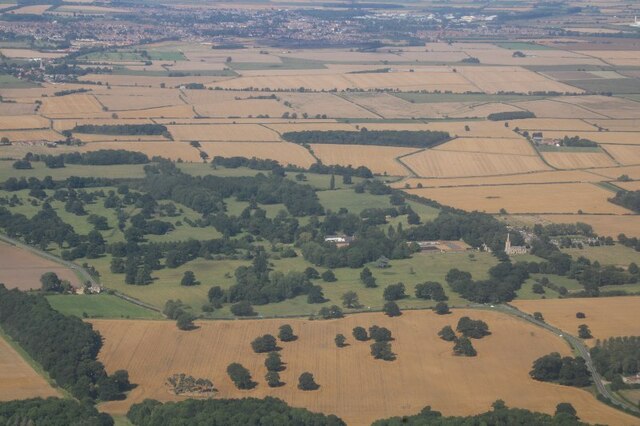
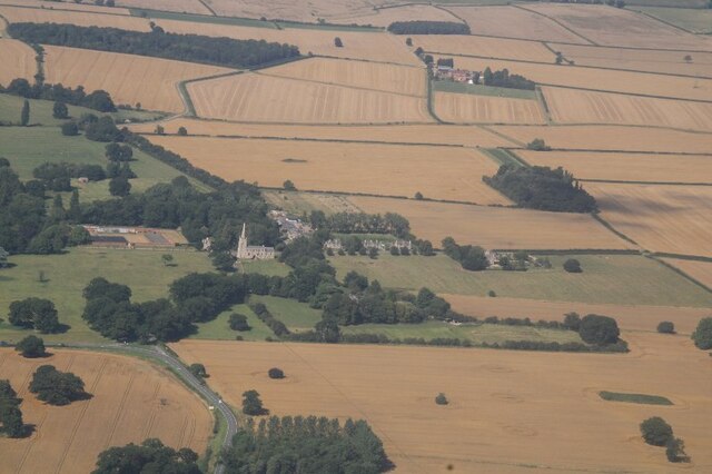
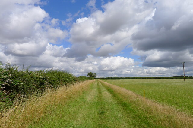
Long Plantation is a beautiful forest located in the county of Lincolnshire, England. Situated in the heart of the county, this vast woodland covers an area of approximately 500 acres. It is known for its dense and well-preserved woodlands, making it a popular destination for nature enthusiasts and outdoor adventurers.

The plantation is characterized by its towering oak trees, which dominate the landscape and provide a habitat for a diverse range of flora and fauna. The forest floor is carpeted with a variety of wildflowers, creating a picturesque and vibrant environment.

Long Plantation offers numerous walking trails that wind through the forest, allowing visitors to explore its natural beauty at their own pace. These trails are well-maintained and suitable for all ages and abilities, making it an ideal destination for families and individuals alike.

The woodland is also home to a wide array of wildlife, including deer, foxes, badgers, and a rich variety of bird species. Birdwatchers flock to Long Plantation to catch a glimpse of rare and migratory birds that make their home in the forest.

For those seeking a peaceful retreat, Long Plantation provides several designated picnic areas where visitors can relax and enjoy the serene surroundings. Additionally, there are camping facilities available for those who wish to spend the night under the canopy of the ancient trees.

Overall, Long Plantation is a haven for nature lovers, offering a tranquil escape from the hustle and bustle of everyday life. Its diverse ecosystem and well-preserved woodlands make it a must-visit destination in Lincolnshire.

If you have any feedback on the listing, please let us know in the comments section below.

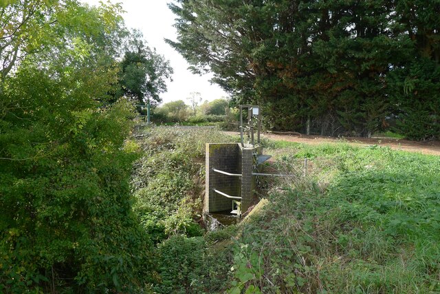
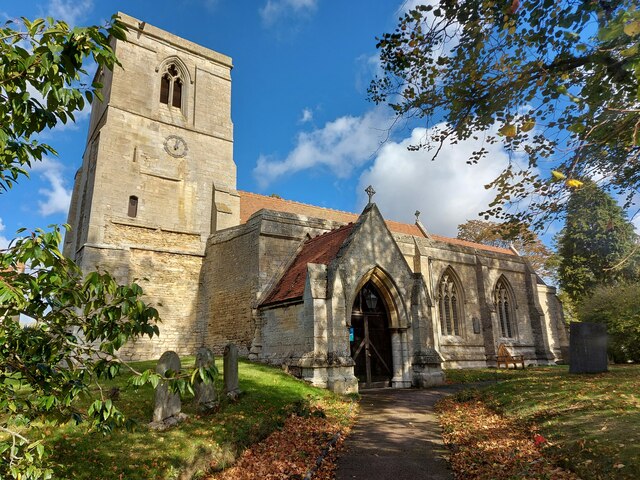
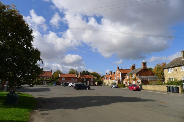
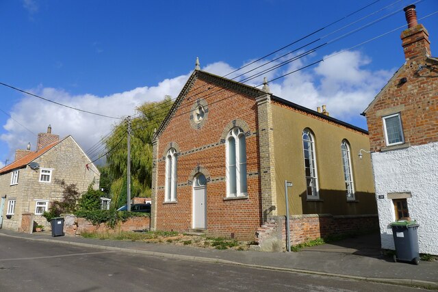
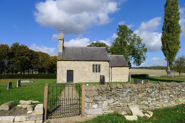
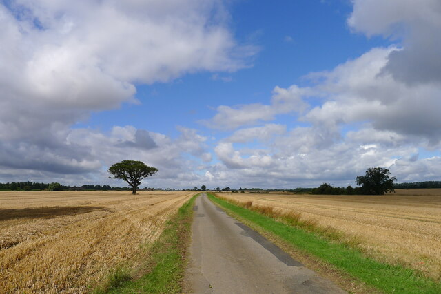
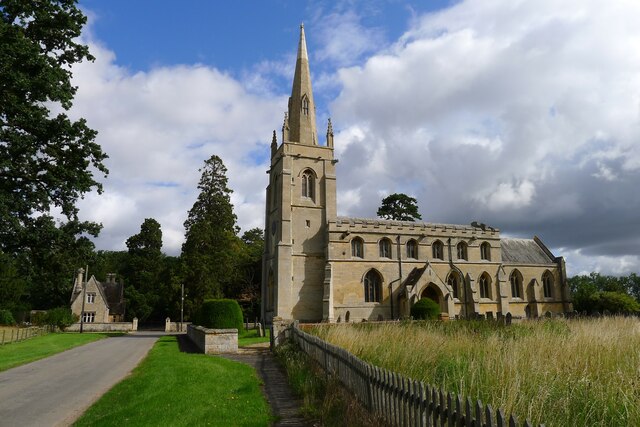
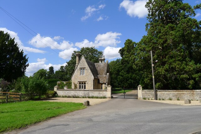
Long Plantation Images

Images are sourced within 2km of 52.937025/-0.41693897 or Grid Reference TF0638. Thanks to Geograph Open Source API. All images are credited.

Aswarby: aerial 2021 (1)
Aswarby: aerial 2021 (2)
Cropmarks east of Osbournby: aerial 2021 (1) South of The Drove.
Cropmarks east of Osbournby: aerial 2021 (1)
South of The Drove.
Cropmarks east of Osbournby: aerial 2021 (2) South of The Drove.
Cropmarks east of Osbournby: aerial 2021 (2)
South of The Drove.
Autumn sown crop near Aswarby
Sewage works outfall into South Beck, Osbournby
The A15 entering Osbournby The busy Peterborough to Lincoln route bisects the village
The A15 entering Osbournby
The busy Peterborough to Lincoln route bisects the village
Church of St Peter and St Paul, Osbournby Grade I listed

The Domesday Survey records a church on this site in 1086 in the possession of Gilbert of Ghent the wealthiest landowner on the county at that time.
The present church dates from the twelfth century onwards and consists of a western tower, nave with north and south aisles, chancel, and south porch.
The west end of the church is probably the oldest part dating from 12th or early 13th century with walls made of rubble which is 8ft thick in places. The South aisle once extended to embrace the tower but this section was demolished. Most of the church was constructed in 1320 with the nave, south aisle chancel and porch being rebuilt at this time.
The western tower is from the thirteenth century and is of three stages with a plain parapet. The belfry stage has fourteenth century windows.
The south porch, dating from the fourteenth century has arcading above the side benches with ogee headed panels.
The nave has four bay arcades with thirteenth century octagonal piers. At the east end of the south aisle there is a door which once led to the rood loft. Only the lower portion of the rood screen remains at Osbournby.
There is one modern stained-glass window to the north wall.
The chancel has a fine fourteenth century sedilia with ogee arched heads and Crocketts with human head stops. There is also a piscina and aumbry.

The nave has a number of good fourteenth century bench ends with various subjects including Adam and Eve, and St George and the Dragon.
There is a twelfth century tub font with intersecting blank arcading, presumably from an earlier church.
At the south west end of the nave there are commandment boards.
There is a small organ by Harston of Newark, circa 1890.
The church was restored in 1873 by Charles Kirk when the roof was replaced and the east window and pews were installed (cost £1,460).
In 1965 the tower was found to be dangerously cracked and bulging and had to be strengthened. The clock which was removed from the tower face dates from 1740 and now resides in the North Aisle.
Church of St Peter and St Paul, Osbournby
Grade I listed The Domesday Survey records a church on this site in 1086 in the possession of Gilbert of Ghent the wealthiest landowner on the county at that time. The present church dates from the twelfth century onwards and consists of a western tower, nave with north and south aisles, chancel, and south porch. The west end of the church is probably the oldest part dating from 12th or early 13th century with walls made of rubble which is 8ft thick in places. The South aisle once extended to embrace the tower but this section was demolished. Most of the church was constructed in 1320 with the nave, south aisle chancel and porch being rebuilt at this time. The western tower is from the thirteenth century and is of three stages with a plain parapet. The belfry stage has fourteenth century windows. The south porch, dating from the fourteenth century has arcading above the side benches with ogee headed panels. The nave has four bay arcades with thirteenth century octagonal piers. At the east end of the south aisle there is a door which once led to the rood loft. Only the lower portion of the rood screen remains at Osbournby. There is one modern stained-glass window to the north wall. The chancel has a fine fourteenth century sedilia with ogee arched heads and Crocketts with human head stops. There is also a piscina and aumbry. The nave has a number of good fourteenth century bench ends with various subjects including Adam and Eve, and St George and the Dragon. There is a twelfth century tub font with intersecting blank arcading, presumably from an earlier church. At the south west end of the nave there are commandment boards. There is a small organ by Harston of Newark, circa 1890. The church was restored in 1873 by Charles Kirk when the roof was replaced and the east window and pews were installed (cost £1,460). In 1965 the tower was found to be dangerously cracked and bulging and had to be strengthened. The clock which was removed from the tower face dates from 1740 and now resides in the North Aisle.
Centre of Osbournby A huge area of tarmac. One feels there should be a green.
Centre of Osbournby
A huge area of tarmac. One feels there should be a green.
Former Wesleyan Methodist Chapel, Osbournby Founded 1839, rebuilt 1871 <span class="nowrap"><a title="https://heritage-explorer.lincolnshire.gov.uk/Monument/MLI90246" rel="nofollow ugc noopener" href="https://heritage-explorer.lincolnshire.gov.uk/Monument/MLI90246">Link</a><img style="margin-left:2px;" alt="External link" title="External link - shift click to open in new window" src="https://s1.geograph.org.uk/img/external.png" width="10" height="10"/></span> . Current status?
Former Wesleyan Methodist Chapel, Osbournby
Founded 1839, rebuilt 1871 LinkExternal link . Current status?
Willoughby Road leaving Osbournby The footpath on the right leads to Aunsby
Willoughby Road leaving Osbournby
The footpath on the right leads to Aunsby
Church of St Andrew, Scott Willoughby "10th century parish church with alterations or additions in the 12th and 17th centuries, repaired 1826, chancel renewed 1826, walls restored 1882" <span class="nowrap"><a title="https://heritage-explorer.lincolnshire.gov.uk/Monument/MLI90870" rel="nofollow ugc noopener" href="https://heritage-explorer.lincolnshire.gov.uk/Monument/MLI90870">Link</a><img style="margin-left:2px;" alt="External link" title="External link - shift click to open in new window" src="https://s1.geograph.org.uk/img/external.png" width="10" height="10"/></span>
"The smallest church still in use in the county of Lincolnshire" <span class="nowrap"><a title="https://www.parishofsouthlafford.org/scott-willoughby-st-andrew-s-church" rel="nofollow ugc noopener" href="https://www.parishofsouthlafford.org/scott-willoughby-st-andrew-s-church">Link</a><img style="margin-left:2px;" alt="External link" title="External link - shift click to open in new window" src="https://s1.geograph.org.uk/img/external.png" width="10" height="10"/></span>
Church of St Andrew, Scott Willoughby
"10th century parish church with alterations or additions in the 12th and 17th centuries, repaired 1826, chancel renewed 1826, walls restored 1882" LinkExternal link "The smallest church still in use in the county of Lincolnshire" LinkExternal link
Bridleway to Aunsby Climbing up the north slope of the valley of South Beck
Bridleway to Aunsby
Climbing up the north slope of the valley of South Beck
Crossway, north of Scott Willoughby Willoughby Road from Osbournby (right) bends 90 degrees towards Scott Willoughby (lower left). A restricted byway carries straight on to Dembleby (upper left). A bridleway climbs the slope to Aunsby (upper right).
Crossway, north of Scott Willoughby
Willoughby Road from Osbournby (right) bends 90 degrees towards Scott Willoughby (lower left). A restricted byway carries straight on to Dembleby (upper left). A bridleway climbs the slope to Aunsby (upper right).
The road to Aunsby In the Southern Lincolnshire Edge National Character Area <span class="nowrap"><a title="https://publications.naturalengland.org.uk/file/6753160429305856" rel="nofollow ugc noopener" href="https://publications.naturalengland.org.uk/file/6753160429305856">Link</a><img style="margin-left:2px;" alt="External link" title="External link - shift click to open in new window" src="https://s1.geograph.org.uk/img/external.png" width="10" height="10"/></span> . Wide open farming landscape on the dip slope of the Jurassic escarpment
The road to Aunsby
In the Southern Lincolnshire Edge National Character Area LinkExternal link . Wide open farming landscape on the dip slope of the Jurassic escarpment
Church of St Denys, Aswarby Listed Grade I. 12th century, with 14th and 15th century alterations and 19th century restoration.  George Bass, an early explorer of Australia after whom the Bass Straight is named, was born in the village and baptised in the church.
Church of St Denys, Aswarby
Listed Grade I. 12th century, with 14th and 15th century alterations and 19th century restoration. George Bass, an early explorer of Australia after whom the Bass Straight is named, was born in the village and baptised in the church.
South Lodge, Main Street, Aswarby Listed Grade II, mid 19th century. Lodge to the former Aswarby Hall.
South Lodge, Main Street, Aswarby
Listed Grade II, mid 19th century. Lodge to the former Aswarby Hall.
Field track east of Aswarby
Show me another place!

Long Plantation is located at Grid Ref: TF0638 (Lat: 52.937025, Lng: -0.41693897)

Administrative County: Lincolnshire

District: North Kesteven

Police Authority: Lincolnshire

What 3 Words

///workshop.defectors.cubes. Near Billingborough, Lincolnshire

Related Wikis

Aswarby

Aswarby () is a village in the civil parish of Aswarby and Swarby, in the North Kesteven district of Lincolnshire, England. It is 3.5 miles (5.6 km) south...

Osbournby

Osbournby (locally pronounced Ozzenby or Ossenby) is a small village and civil parish in the North Kesteven district of Lincolnshire, England. The population...

Aswarby and Swarby

Aswarby and Swarby is a civil parish in the North Kesteven district of Lincolnshire, England. Aswarby (pronounced locally as "as-r-bee") is the ecclesiastical...

Threekingham Bar

Threekingham Bar is the name given to interception of the A52 (Grantham to Boston) and A15 (Peterborough to Lincoln and Hull) roads, 1 mile (1.6 km) to...

Swarby

Swarby is a village and former civil parish in the North Kesteven district of Lincolnshire, England, approximately 3 miles (5 km) south-southwest of Sleaford...

Spanby

Spanby is a village and former civil parish in the North Kesteven district of Lincolnshire, England, about 5 miles (8 km) south from the town of Sleaford...

Aswarby and Scredington railway station

Aswarby and Scredington railway station was a station close to Scredington, Lincolnshire on the Great Northern Railway Bourne and Sleaford railway. It...

Newton, Lincolnshire

Newton is a hamlet in the North Kesteven district of Lincolnshire, England. The hamlet is situated approximately 8 miles (13 km) east from the town of...

Nearby Amenities

Located within 500m of 52.937025,-0.41693897
Power: tower
Source: Bing
Lat/Long: 52.9339485/-0.4187516
Power: tower
Source: Bing
Lat/Long: 52.9339054/-0.4146425
Colour: red and white
Marker: aerial
Utility: gas
Lat/Long: 52.9349769/-0.4123597
Colour: red and white
Marker: aerial
Utility: gas
Lat/Long: 52.9348499/-0.4125988
The data included in this document is from www.openstreetmap.org. The data is made available under ODbL.

Have you been to Long Plantation?

Leave your review of Long Plantation below (or comments, questions and feedback).