Crow Spinney

Wood, Forest in Lincolnshire South Kesteven

England

Crow Spinney

400kV Traction feeder Named for, and not very far from, Ryhall.  The overhead line is the 400kV from  Cottam Power Station to Wymondley Substation.  The whole purpose of this huge installation is to provide the 25kV feed to the East Coast Main Line at Essendine.
400kV Traction feeder Credit: Bob Harvey

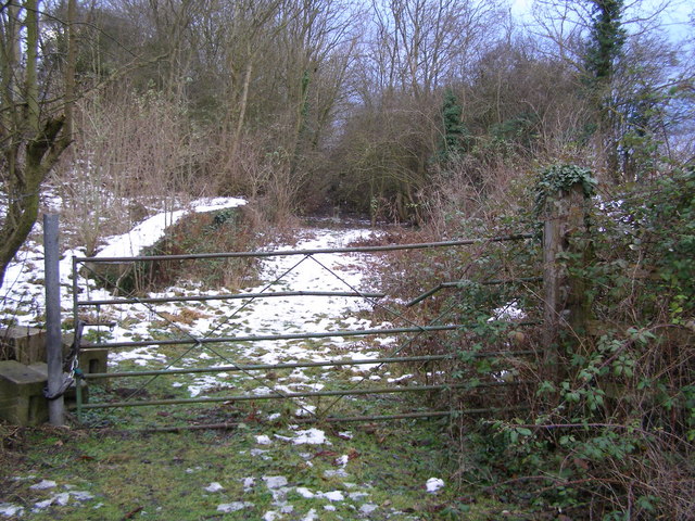
Crow Spinney is a small woodland area located in the county of Lincolnshire, England. Situated in the district of Wood, the spinney is nestled within the picturesque countryside, offering a serene and tranquil environment for visitors to explore.

Covering an area of approximately 20 acres, Crow Spinney is predominantly comprised of dense woodland, dominated by a variety of trees such as oak, ash, and beech. The combination of these tree species creates a rich and diverse ecosystem, supporting a wide range of flora and fauna.

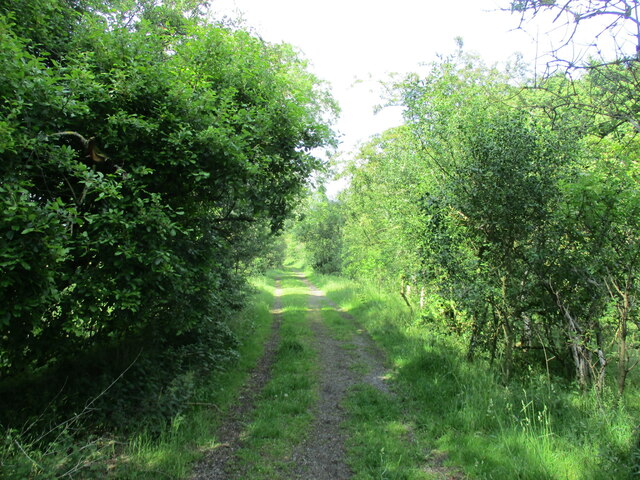
The woodland is known for its beautiful walking trails, which meander through the trees, providing visitors with an opportunity to immerse themselves in nature. The paths are well-maintained and marked, ensuring easy navigation for all visitors.

In addition to its natural beauty, Crow Spinney is also home to a variety of wildlife species. Birdwatchers can spot numerous avian species, including woodpeckers, owls, and various songbirds. The spinney is also inhabited by small mammals such as squirrels and rabbits, as well as a diverse range of insects and butterflies.

For those interested in history, Crow Spinney holds archaeological significance, with evidence of ancient settlements and burial grounds discovered within the woodland. This adds an extra layer of intrigue and fascination to the area, inviting visitors to explore its hidden historical past.

Overall, Crow Spinney in Lincolnshire offers a serene and captivating experience for nature lovers and history enthusiasts alike. Its lush woodland, diverse wildlife, and archaeological significance make it a popular destination for those seeking a peaceful retreat and an opportunity to reconnect with nature.

If you have any feedback on the listing, please let us know in the comments section below.
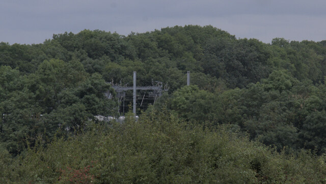
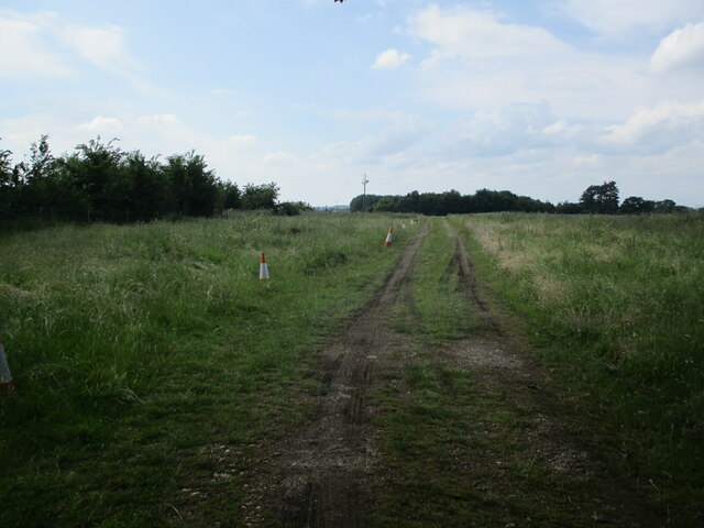
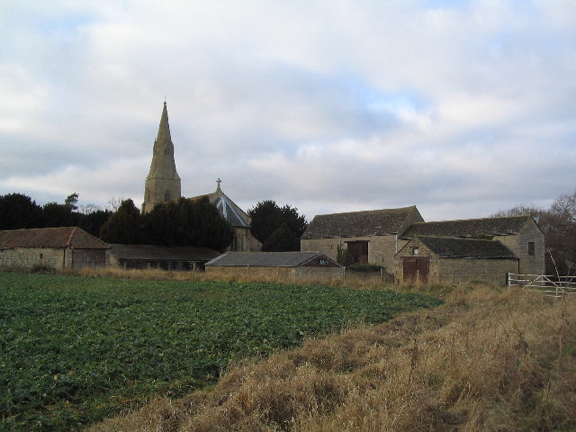
Crow Spinney Images

Images are sourced within 2km of 52.691122/-0.42651403 or Grid Reference TF0611. Thanks to Geograph Open Source API. All images are credited.

400kV Traction feeder Named for, and not very far from, Ryhall.  The overhead line is the 400kV from  Cottam Power Station to Wymondley Substation.  The whole purpose of this huge installation is to provide the 25kV feed to the East Coast Main Line at Essendine.
400kV Traction feeder
Named for, and not very far from, Ryhall. The overhead line is the 400kV from Cottam Power Station to Wymondley Substation. The whole purpose of this huge installation is to provide the 25kV feed to the East Coast Main Line at Essendine.
Field near Ryhall
Field near Ryhall
400kV substation There are two 400kV circuits on the pylon, which forms part of the route from Cottam Power Station to Wymondley Substation.  On one side (the furthest side here) the three phases are tapped off and dropped to this substation, which converts them to two 25kV single phase feeds for the railway.  These two feeds are cabled to an autotransformer at Essendine, where they are combined in a complex autotransformer, and then coupled again to the 25kV overhead lines for the East Coast Main Line.

This seems to replace the original 25kV link from Bourne West (<a href="https://www.geograph.org.uk/photo/6695800">TF0619 : Substation transformer</a>) to Little Bytham (<a href="https://www.geograph.org.uk/photo/6945830">TF0117 : 25kV in the garden</a>), but that has not been dismantled.
400kV substation
There are two 400kV circuits on the pylon, which forms part of the route from Cottam Power Station to Wymondley Substation. On one side (the furthest side here) the three phases are tapped off and dropped to this substation, which converts them to two 25kV single phase feeds for the railway. These two feeds are cabled to an autotransformer at Essendine, where they are combined in a complex autotransformer, and then coupled again to the 25kV overhead lines for the East Coast Main Line. This seems to replace the original 25kV link from Bourne West (TF0619 : Substation transformer) to Little Bytham (TF0117 : 25kV in the garden), but that has not been dismantled.
Substation sign The sign at Ryhall 400kV substation - see <a href="https://www.geograph.org.uk/photo/6951473">TF0411 : 400kV substation</a>
Substation sign
The sign at Ryhall 400kV substation - see TF0411 : 400kV substation
400kV pylon tap The drop wires from the three phases on the west of the line go down into the switchfield of the substation seen in <a href="https://www.geograph.org.uk/photo/6951473">TF0411 : 400kV substation</a>.

The system can be seen on this map: <span class="nowrap"><a title="https://openinframap.org/#14.34/52.69006/-0.44942" rel="nofollow ugc noopener" href="https://openinframap.org/#14.34/52.69006/-0.44942">Link</a><img style="margin-left:2px;" alt="External link" title="External link - shift click to open in new window" src="https://s1.geograph.org.uk/img/external.png" width="10" height="10"/></span>
400kV pylon tap
The drop wires from the three phases on the west of the line go down into the switchfield of the substation seen in TF0411 : 400kV substation. The system can be seen on this map: LinkExternal link
Transformers Electricity transformers at <a href="https://www.geograph.org.uk/photo/6951473">TF0411 : 400kV substation</a>
Transformers
Electricity transformers at TF0411 : 400kV substation
Distant infrastructure The electrical infeed structure across the tracks of the East Coast Main Line at Esendine, masked somewhat by the trees that have grown along the route of the former Stamford & Essendine railway.
Distant infrastructure
The electrical infeed structure across the tracks of the East Coast Main Line at Esendine, masked somewhat by the trees that have grown along the route of the former Stamford & Essendine railway.
Overhead power coupling The frame across the tracks forms part of the electrical feed to the overhead lines on the East Coast Main Line
Overhead power coupling
The frame across the tracks forms part of the electrical feed to the overhead lines on the East Coast Main Line
Underground cable marker Each of the two underground 25kV cables from <a href="https://www.geograph.org.uk/photo/6951473">TF0411 : 400kV substation</a> to Essendine is marked with these marker posts, here shown against the boundary fence.  This is circuit number 1
Underground cable marker
Each of the two underground 25kV cables from TF0411 : 400kV substation to Essendine is marked with these marker posts, here shown against the boundary fence. This is circuit number 1
Circuit number 2 The marker post seen in <a href="https://www.geograph.org.uk/photo/6953748">TF0411 : Underground cable marker</a> to the right of the gate of the substation.
Circuit number 2
The marker post seen in TF0411 : Underground cable marker to the right of the gate of the substation.
Underground cable marker Each of the two underground 25kV cables from <a href="https://www.geograph.org.uk/photo/6951473">TF0411 : 400kV substation</a> to Essendine is marked with these marker posts, here shown against the boundary fence.  This is circuit number 2
Underground cable marker
Each of the two underground 25kV cables from TF0411 : 400kV substation to Essendine is marked with these marker posts, here shown against the boundary fence. This is circuit number 2
Circuit number 1 The marker post seen in <a href="https://www.geograph.org.uk/photo/6953741">TF0411 : Underground cable marker</a> to the left of the gate of the substation.
Circuit number 1
The marker post seen in TF0411 : Underground cable marker to the left of the gate of the substation.
Circuit number 1 again This is the twin of <a href="https://www.geograph.org.uk/photo/6953752">TF0411 : Circuit number 1</a> on the other side of the road.
Circuit number 1 again
This is the twin of TF0411 : Circuit number 1 on the other side of the road.
Missing marker post This is the route of Ryhall-Essendine circuit 2.  There should be a marker post here, just as there is one a few metres away <a href="https://www.geograph.org.uk/photo/6953756">TF0411 : Circuit number 1 again</a>.  But it is gone.  You can, however, clearly see where the road surface has been restored after laying the cable, and the wooden fencing erected to close the gap in the hedge.
Missing marker post
This is the route of Ryhall-Essendine circuit 2. There should be a marker post here, just as there is one a few metres away TF0411 : Circuit number 1 again. But it is gone. You can, however, clearly see where the road surface has been restored after laying the cable, and the wooden fencing erected to close the gap in the hedge.
Looking toward Essendine The path of the buried cable circuit number 2 (from the hedge gap in <a href="https://www.geograph.org.uk/photo/6953760">TF0411 : Missing marker post</a>).
Looking toward Essendine
The path of the buried cable circuit number 2 (from the hedge gap in TF0411 : Missing marker post).
LED sidelights It was a dull day, for all that it was not long after noon.  The sidelights on this Dennis "Elite 6" rubbish trunker belonging to South Kesteven District Council stood out brightly under the low grey cloud 

See <span class="nowrap"><a title="https://www.dennis-eagle.co.uk/globalassets/trrg/brochures/chassis-cab/elite-6/uk/w.4215-dennis-eagle-elite-6-preview-dps.pdf" rel="nofollow ugc noopener" href="https://www.dennis-eagle.co.uk/globalassets/trrg/brochures/chassis-cab/elite-6/uk/w.4215-dennis-eagle-elite-6-preview-dps.pdf">Link</a><img style="margin-left:2px;" alt="External link" title="External link - shift click to open in new window" src="https://s1.geograph.org.uk/img/external.png" width="10" height="10"/></span> for details of the vehicle.
LED sidelights
It was a dull day, for all that it was not long after noon. The sidelights on this Dennis "Elite 6" rubbish trunker belonging to South Kesteven District Council stood out brightly under the low grey cloud See LinkExternal link for details of the vehicle.
Track to Little Maidens
Bridleway towards Carlby
Show me another place!

Crow Spinney is located at Grid Ref: TF0611 (Lat: 52.691122, Lng: -0.42651403)

Administrative County: Lincolnshire

District: South Kesteven

Police Authority: Lincolnshire

What 3 Words

///intent.clearcut.suspect. Near Essendine, Rutland

Related Wikis

Braceborough

Braceborough is a village in the South Kesteven district of Lincolnshire, England. It is situated off the Stamford to Bourne A6121 road, just west of the...

Church of St Mary Magdalene, Essendine

The Church of St Mary Magdalene is a church in Essendine, Rutland. It is a Grade II* listed building. == History == The small church is built within the...

Essendine railway station

Essendine railway station was a station in Essendine, Rutland. It was situated on the East Coast Main Line of the Great Northern Railway. == Overview... ==

Greatford

Greatford is a village and civil parish in the South Kesteven district of Lincolnshire, England. It is situated 2 miles (3 km) west from the A15, 4.5 miles...

Essendine

Essendine is a village and civil parish at the eastern end of the county of Rutland in the East Midlands of England, located 5 miles (7 km) north of Stamford...

Ryhall railway station

Ryhall & Belmesthorpe railway station (originally Ryhall & Belmisthorpe) was a station in Belmesthorpe and about half a mile from Ryhall, both in Rutland...

Ryhall

Ryhall is a village and civil parish in the county of Rutland in the East Midlands of England. It is situated close to the eastern boundary of the county...

Barholm and Stowe

Barholm and Stowe is a civil parish in the South Kesteven district of Lincolnshire, England. According to the 2001 census it had a population of 87 in...

Have you been to Crow Spinney?

Leave your review of Crow Spinney below (or comments, questions and feedback).