Covington Gorse

Wood, Forest in Huntingdonshire Huntingdonshire

England

Covington Gorse

Barn at Nether Dean Nether Dean is not marked on the O.S. map-this location is marked "Lower Dean"
Barn at Nether Dean Credit: Bikeboy

Covington Gorse is a stunning woodland area located in the county of Huntingdonshire, England. Spanning over a vast area, this woodland is a true haven for nature lovers and outdoor enthusiasts alike. Situated near the village of Covington, the gorse is easily accessible and offers a peaceful retreat from the hustle and bustle of city life.

The woodland is primarily made up of gorse, a spiny evergreen shrub that covers the forest floor with its vibrant yellow flowers. This unique characteristic gives Covington Gorse a distinctive appearance, especially during the spring and summer months when the flowers are in full bloom.

The forest is home to a rich variety of wildlife, including numerous bird species, small mammals, and insects. Birdwatchers can spot common species such as robins, blackbirds, and various species of tits. The woodland also boasts a diversity of trees, including oak, beech, and ash, providing a diverse habitat for different species.

Covington Gorse offers several walking trails and footpaths that wind through the woodland, allowing visitors to immerse themselves in the natural beauty of the area. These trails cater to different levels of fitness and offer breathtaking views of the surrounding countryside.

The woodland is managed and protected by local conservation efforts, ensuring the preservation of its unique ecosystem. Covington Gorse is a beloved destination for locals and tourists alike, offering a tranquil escape and the opportunity to connect with nature in an idyllic setting.

If you have any feedback on the listing, please let us know in the comments section below.

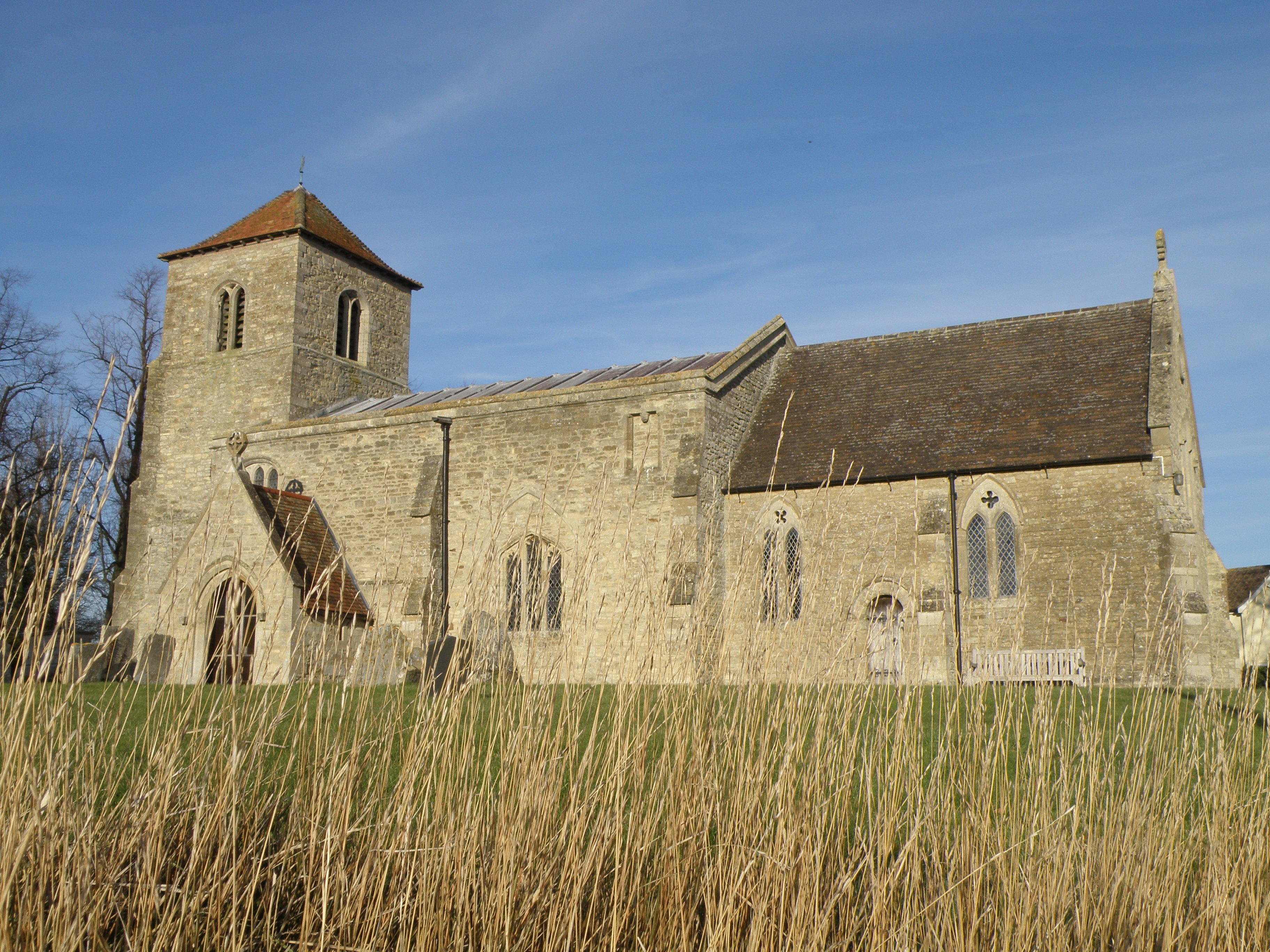
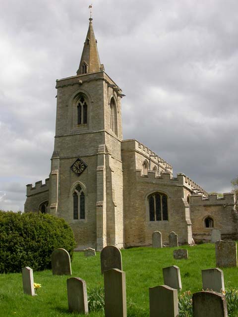
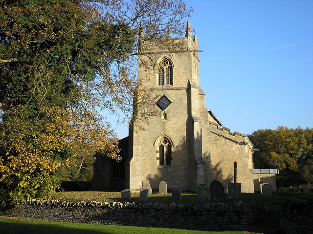
Covington Gorse Images

Images are sourced within 2km of 52.32237/-0.44187307 or Grid Reference TL0670. Thanks to Geograph Open Source API. All images are credited.

Barn at Nether Dean Nether Dean is not marked on the O.S. map-this location is marked "Lower Dean"
Barn at Nether Dean
Nether Dean is not marked on the O.S. map-this location is marked "Lower Dean"
Brick Yard Cottage in the trees Of note is the narrow concrete vehicle bridge over the large ditch that provides access to the cottage.
Brick Yard Cottage in the trees
Of note is the narrow concrete vehicle bridge over the large ditch that provides access to the cottage.
Railway infrastructure remains Brick remains of a path access under the former Thrapston Huntingdon railway.
Railway infrastructure remains
Brick remains of a path access under the former Thrapston Huntingdon railway.
Catworth Lodge Viewed from the Three Shires Way.
Catworth Lodge
Viewed from the Three Shires Way.
Former railway infrastructure Brick remains of a path access under the former Thrapston Huntingdon railway.
Former railway infrastructure
Brick remains of a path access under the former Thrapston Huntingdon railway.
Former railway embankment Embankment of the former Thrapston Huntingdon railway. Closed in 1964.
Former railway embankment
Embankment of the former Thrapston Huntingdon railway. Closed in 1964.
Another end of the line An abrupt stop for the Huntingdon Thrapston railway line. Since it closed in 1964 no matter. The land has been returned to arable farming.
Another end of the line
An abrupt stop for the Huntingdon Thrapston railway line. Since it closed in 1964 no matter. The land has been returned to arable farming.
Footbridge for footpath branching off the Three Shires Way Footpath 43/8a to Catworth.
Footbridge for footpath branching off the Three Shires Way
Footpath 43/8a to Catworth.
Grass triangle road junction at Covington On the route of the Three Shires Way.
Grass triangle road junction at Covington
On the route of the Three Shires Way.
All Saints' church Covington The church was also dedicated to St. Margaret at some point. The nave is C11. The first recorded priest was Richard De Baiocis who retired in 1293 (see <span class="nowrap"><a title="http://www.covington.org.uk/gallery/trailmappage.pdf" rel="nofollow ugc noopener" href="http://www.covington.org.uk/gallery/trailmappage.pdf">Link</a><img style="margin-left:2px;" alt="External link" title="External link - shift click to open in new window" src="https://s1.geograph.org.uk/img/external.png" width="10" height="10"/></span> )
All Saints' church Covington
The church was also dedicated to St. Margaret at some point. The nave is C11. The first recorded priest was Richard De Baiocis who retired in 1293 (see LinkExternal link )
All Saints' church Covington and manor house The nave of the church dates from the C11. the manor house dates from 1731 but was built on the site of an ancient moated building.
All Saints' church Covington and manor house
The nave of the church dates from the C11. the manor house dates from 1731 but was built on the site of an ancient moated building.
Ordnance Survey Cut Mark This OS cut mark can be found on the NE face of St Margaret's Church. It marks a point 13.610m above mean sea level.
Ordnance Survey Cut Mark
This OS cut mark can be found on the NE face of St Margaret's Church. It marks a point 13.610m above mean sea level.
The White Horse inn On the B645 Tilbrook
The White Horse inn
On the B645 Tilbrook
Lower Dean TL0669 view to the south
Lower Dean
TL0669 view to the south
Lower Dean Lower Dean telephone box and post box
Lower Dean
Lower Dean telephone box and post box
Cattle in field Looking north at Tilbrook
Cattle in field
Looking north at Tilbrook
Three Shires Way Village of Hargrave in the distance.
Three Shires Way
Village of Hargrave in the distance.
The B645 heading towards Kimbolton The B645 approaching the Tilbrook Mill Kennels & Cattery heading towards Kimbolton
The B645 heading towards Kimbolton
The B645 approaching the Tilbrook Mill Kennels & Cattery heading towards Kimbolton
Show me another place!

Covington Gorse is located at Grid Ref: TL0670 (Lat: 52.32237, Lng: -0.44187307)

Administrative County: Cambridgeshire

District: Huntingdonshire

Police Authority: Cambridgeshire

What 3 Words

///mouth.outsize.reclining. Near Kimbolton, Cambridgeshire

Nearby Locations

Covington Gorse

Related Wikis

Covington, Cambridgeshire

Covington is a village and civil parish in Cambridgeshire, England. Covington lies approximately 10 miles (16 km) west of Huntingdon near to Catworth and...

Tilbrook

Tilbrook is a village and civil parish in Cambridgeshire, England. Tilbrook lies approximately 10 miles (16 km) west of Huntingdon, near Covington. Tilbrook...

Lower Dean

Lower Dean is a village located in the Borough of Bedford in Bedfordshire, England. The village forms part of the Dean and Shelton civil parish (where...

Dean, Bedfordshire

Dean or Over Dene is a former civil parish, now in the parish of Dean and Shelton, in the Bedford district, in the ceremonial county of Bedfordshire, England...

Kimbolton railway station

Kimbolton railway station was a railway station in Kimbolton, Cambridgeshire. The station and its line closed in 1959. The journey from London St. Pancras...

Hargrave, Northamptonshire

Hargrave is a small village and civil parish situated in rural Northamptonshire, England, approximately 21 miles east of Northampton and adjacent to the...

Dean and Shelton

Dean and Shelton is a civil parish in the Bedford district, in the ceremonial county of Bedfordshire, England. The two parishes of Dean and Shelton were...

Shelton, North Bedfordshire

Shelton is a village and former civil parish, now in the parish of Dean and Shelton, in the Bedford district, in the ceremonial county of Bedfordshire...

Nearby Amenities

Located within 500m of 52.32237,-0.44187307
Created By: Merkaartor 0.12
Lat/Long: 52.3213739/-0.441753
Created By: Merkaartor 0.12
Lat/Long: 52.321313/-0.4486379
Power: pole
Lat/Long: 52.3203206/-0.4438576
Power: pole
Lat/Long: 52.3197599/-0.4396572
Power: pole
Lat/Long: 52.3227701/-0.4490608
Power: pole
Lat/Long: 52.3198288/-0.4428491
Power: pole
Lat/Long: 52.3197109/-0.4380798
Power: pole
Lat/Long: 52.3208225/-0.4448929
Power: pole
Lat/Long: 52.3197353/-0.4365081
Power: pole
Lat/Long: 52.3221273/-0.4476714
Power: pole
Lat/Long: 52.3197993/-0.4412344
Power: pole
Lat/Long: 52.3214848/-0.446293
Power: pole
Lat/Long: 52.3188379/-0.4432362
The data included in this document is from www.openstreetmap.org. The data is made available under ODbL.

Have you been to Covington Gorse?

Leave your review of Covington Gorse below (or comments, questions and feedback).