King's Oaks
Wood, Forest in Northamptonshire
England
King's Oaks

King's Oaks is a charming woodland located in Northamptonshire, England. Spread across a vast area, it is a beloved destination for nature enthusiasts, hikers, and those seeking respite from the bustling city life. The woodland is situated near the village of King's Cliffe, adding to its allure as a tranquil retreat.
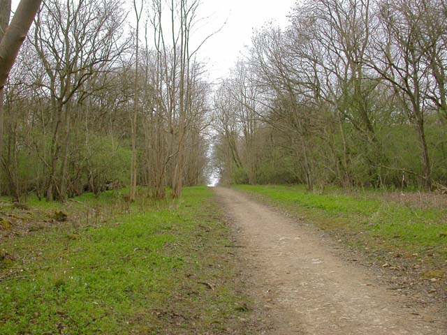
The primary feature of King's Oaks is its dense forest, consisting of a variety of tree species such as oak, beech, and pine. These majestic trees create a picturesque landscape, offering a captivating display of colors throughout the seasons. The forest floor is covered in a lush carpet of ferns, wildflowers, and moss, adding to the area's natural beauty.
The woodland is home to a diverse range of wildlife, making it a haven for nature lovers. Visitors may spot deer, rabbits, squirrels, and numerous bird species during their exploration of the area. The peaceful atmosphere and abundance of wildlife make King's Oaks an ideal spot for birdwatching and photography.
With a network of well-maintained walking trails, King's Oaks provides ample opportunities for hiking and leisurely strolls. The trails wind through the forest, allowing visitors to immerse themselves in the serenity of nature. Along the way, there are benches and picnic areas dotted throughout, providing a perfect spot for relaxation and enjoying a packed lunch.
King's Oaks also offers educational and recreational activities, with guided nature walks and workshops organized by local conservation groups. These activities aim to raise awareness about the importance of preserving the woodland's ecosystem and its role in maintaining biodiversity.
In conclusion, King's Oaks in Northamptonshire is a captivating woodland that offers a serene escape into nature. With its diverse flora and fauna, well-maintained trails, and educational activities, it is a haven for both locals and visitors seeking a peaceful retreat amidst the beauty of the natural world.
If you have any feedback on the listing, please let us know in the comments section below.
King's Oaks Images
Images are sourced within 2km of 52.573053/-0.4364401 or Grid Reference TL0698. Thanks to Geograph Open Source API. All images are credited.


King's Oaks is located at Grid Ref: TL0698 (Lat: 52.573053, Lng: -0.4364401)
Unitary Authority: North Northamptonshire
Police Authority: Northamptonshire
What 3 Words
///redeeming.partner.rifled. Near Wansford, Cambridgeshire
Nearby Locations
Related Wikis
Old Sulehay Forest
Old Sulehay Forest is a 34.8-hectare (86-acre) biological Site of Special Scientific Interest east of King's Cliffe in Northamptonshire. It is part of...

Yarwell
Yarwell is a village on the River Nene in the extreme east of the English county of Northamptonshire near the border with Cambridgeshire. Yarwell is one...

Wansford Pasture
Wansford Pasture is a 3.1-hectare (7.7-acre) biological Site of Special Scientific Interest in Wansford in Cambridgeshire. It is part of the 7.3 hectare...
Wansford, Cambridgeshire
Wansford is a village straddling the City of Peterborough and Huntingdonshire districts in the ceremonial county of Cambridgeshire, England. It had a population...
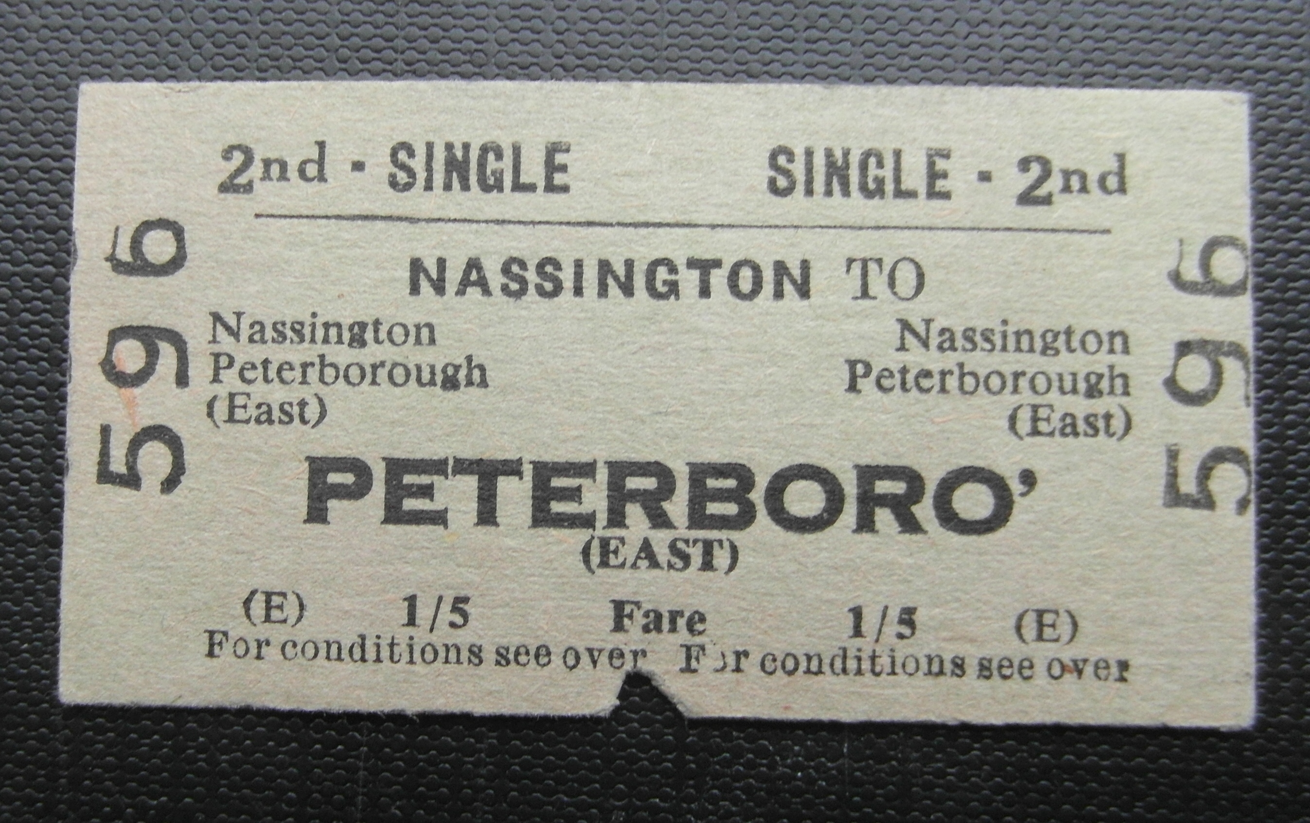
Nassington railway station
Nassington railway station is a former railway station in Nassington, Northamptonshire. It was owned by the London and North Western Railway but from 1883...

Bedford Purlieus National Nature Reserve
Bedford Purlieus is a 211-hectare (520-acre) ancient woodland in Cambridgeshire, in the United Kingdom. It is a national nature reserve and Site of Special...
Nassington
Nassington is a village and civil parish in Northamptonshire, England. At the time of the 2001 census, the parish's population was 670 people, increasing...
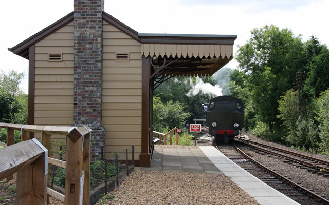
Yarwell Junction railway station
Yarwell Junction is the current western terminus of the Nene Valley Railway. It opened at Easter 2007. It was formerly the junction of the Peterborough...
Nearby Amenities
Located within 500m of 52.573053,-0.4364401Have you been to King's Oaks?
Leave your review of King's Oaks below (or comments, questions and feedback).