Upper Oldfield Copse
Wood, Forest in Sussex Arun
England
Upper Oldfield Copse

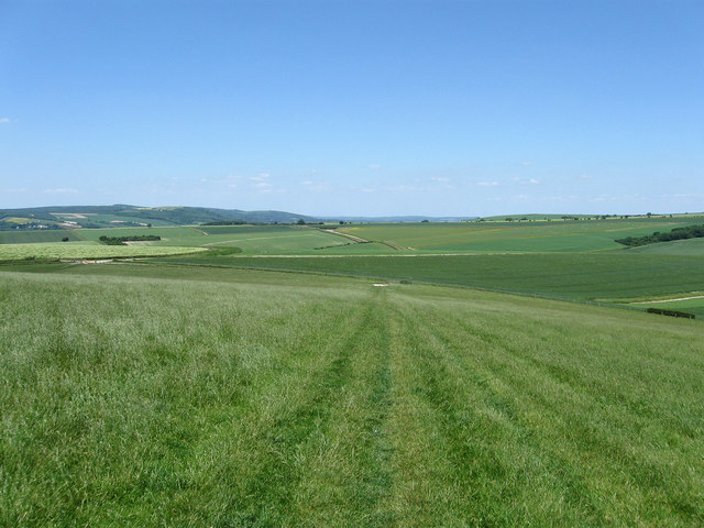
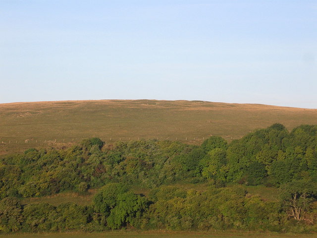
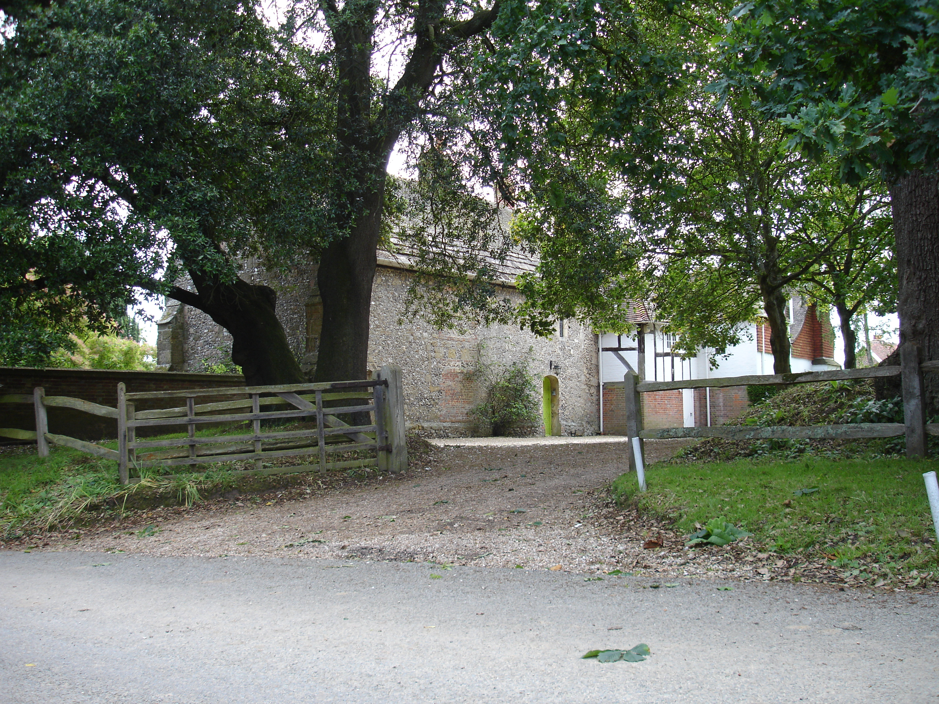
Upper Oldfield Copse is a picturesque woodland located in the county of Sussex, England. Situated in the southeastern part of the country, this enchanting forest covers an area of approximately 50 acres. The copse is characterized by a diverse range of tree species, including oak, ash, beech, and birch, creating a rich and vibrant tapestry of colors throughout the year.
The woodland boasts a dense and lush canopy, providing a haven for various wildlife species. It is not uncommon to spot mammals such as deer, foxes, and badgers roaming freely among the trees. Additionally, the copse attracts a multitude of bird species, making it a popular destination for birdwatchers and nature enthusiasts alike.
The forest floor of Upper Oldfield Copse is adorned with a carpet of native wildflowers, including bluebells, primroses, and wood anemones, creating a stunning display during springtime. This vibrant floral display, combined with the tranquil ambiance of the forest, makes it an ideal location for leisurely walks, picnics, and photography.
Upper Oldfield Copse is accessible via a network of well-maintained footpaths, allowing visitors to explore its hidden corners and discover its natural beauty. The copse is managed by local conservation organizations, ensuring the preservation and protection of its delicate ecosystem.
Overall, Upper Oldfield Copse offers a serene escape from the hustle and bustle of everyday life, providing a glimpse into the enchanting beauty of Sussex's woodlands. Whether it's for a leisurely stroll, wildlife spotting, or simply immersing oneself in nature, this forest is a must-visit destination for nature lovers and those seeking a tranquil retreat.
If you have any feedback on the listing, please let us know in the comments section below.
Upper Oldfield Copse Images
Images are sourced within 2km of 50.864751/-0.49436025 or Grid Reference TQ0608. Thanks to Geograph Open Source API. All images are credited.


Upper Oldfield Copse is located at Grid Ref: TQ0608 (Lat: 50.864751, Lng: -0.49436025)
Administrative County: West Sussex
District: Arun
Police Authority: Sussex
What 3 Words
///often.phantom.eyelashes. Near Arundel, West Sussex
Nearby Locations
Related Wikis

Worthing Rural District
Worthing Rural District was a rural district in West Sussex, England from 1933 to 1974. It comprised an area to the north, west and east, but did not...
Burpham
Burpham is a rural village and civil parish in the Arun District of West Sussex, England. The village is on an arm of the River Arun slightly less than...
Harrow Hill, West Sussex
Harrow Hill is an archaeological site in West Sussex, England. It is on the South Downs about 3 miles (5 km) north of the village of Angmering and 5 miles...
Warningcamp
Warningcamp is a village and civil parish in the Arun District of West Sussex, England. It is 1 mile (1.6 km) east of Arundel, on the east bank of the...
Poling Preceptory
Poling Preceptory was a priory in West Sussex, England. It is a Grade I listed building.. == References ==

Patching
Patching is a small village and civil parish that lies amid the fields and woods of the southern slopes of the South Downs in the National Park in the...
Blackpatch
Blackpatch is an archaeological site in West Sussex, England, about 2 miles (3.2 km) west of the village of Findon and about 3 miles (4.8 km) north-west...

Oval Raceway
The Oval Raceway, also known as the Angmering Motor Sports Centre or Angmering Raceway is a motor racing circuit on the outskirts of Angmering, near Worthing...
Nearby Amenities
Located within 500m of 50.864751,-0.49436025Have you been to Upper Oldfield Copse?
Leave your review of Upper Oldfield Copse below (or comments, questions and feedback).