Armston Grove
Wood, Forest in Northamptonshire
England
Armston Grove

Armston Grove is a picturesque woodland located in the county of Northamptonshire, England. Situated near the village of Armston, the grove covers an area of approximately 50 acres and is renowned for its natural beauty and diverse range of flora and fauna.
The woodland is predominantly composed of various species of deciduous trees, including oak, ash, and beech, which create a dense and vibrant canopy overhead. This provides a haven for numerous wildlife species, such as deer, foxes, and a variety of bird species.
Armston Grove is intersected by several walking trails, allowing visitors to explore its enchanting surroundings in a peaceful and serene setting. The trails wind through the woods, meandering past babbling brooks and small ponds, adding to the tranquillity of the experience. The grove also features several picnic areas, providing the perfect opportunity for visitors to relax and enjoy the peaceful ambiance.
Throughout the year, Armston Grove showcases the beauty of nature in every season. In spring, the woodland is adorned with a vibrant display of wildflowers, creating a colorful tapestry across the forest floor. Summer brings lush green foliage and a chorus of birdsong, while autumn transforms the grove into a breathtaking spectacle of golden hues as the leaves change color. Even in winter, the grove maintains its allure, with frost-covered trees and a serene stillness that is truly captivating.
Armston Grove is not only a haven for wildlife and nature enthusiasts but also a place of solace and escape for those seeking respite from the hustle and bustle of everyday life. Its natural charm and tranquil atmosphere make it a cherished gem in the heart of Northamptonshire.
If you have any feedback on the listing, please let us know in the comments section below.
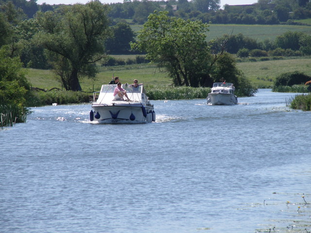
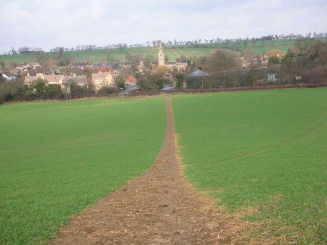
Armston Grove Images
Images are sourced within 2km of 52.459335/-0.44643281 or Grid Reference TL0585. Thanks to Geograph Open Source API. All images are credited.


Armston Grove is located at Grid Ref: TL0585 (Lat: 52.459335, Lng: -0.44643281)
Unitary Authority: North Northamptonshire
Police Authority: Northamptonshire
What 3 Words
///strain.unstated.helpers. Near Oundle, Northamptonshire
Nearby Locations
Related Wikis
Armston
Armston is a hamlet and former civil parish, now in the parish of Polebrook, in the North Northamptonshire district, in the ceremonial county of Northamptonshire...

Barnwell Manor
Barnwell Manor is a Grade II listed country estate near the village of Barnwell, about 2.5 miles (4.0 km) south of Oundle, in Northamptonshire, England...

Barnwell Castle
Barnwell Castle is a ruined castle, south of the town of Oundle, and north of the village of Barnwell, Northamptonshire (grid reference TL047853). It...

Barnwell railway station
Barnwell railway station is a former railway station in Barnwell, Northamptonshire on the former Northampton and Peterborough Railway line which connected...

Barnwell, Northamptonshire
Barnwell (formerly Barnwell All Saints and Barnwell St Andrew) is a village in North Northamptonshire in England, 2 miles (3.2 km) south of the town of...
Polebrook
Polebrook is a village in Northamptonshire, England. The population (including Armston) at the 2011 census was 478. == History == There is evidence that...
Prince William School
Prince William School is a secondary school and sixth form located in Oundle, Northamptonshire. The school was built in 1971 and opened by Prince William...

Oundle Rural District
Oundle was a rural district in England from 1894 to 1935. It was formed under the Local Government Act 1894 from the Oundle rural sanitary district. It...
Related Videos
Oundle.England
town #walk #england.

Dog Tries To Go Through Door With A Stick || ViralHog
A dog tries to fit through a doorway with his stick. Occurred on January 21, 2024 / Barnwell, East Northamptonshire, UK "Is Mando ...
The Nene Way - Denford - Oundle
Walking the Nene Way. A fab 14 mile stretch between Denford and Oundle.
How to Enjoy A Country Walk in Barnwell
Walking is a beneficial thing to do. Join me as I explore this beautiful park seeing wildlife and enjoying nature's beauty as a way of ...
Nearby Amenities
Located within 500m of 52.459335,-0.44643281Have you been to Armston Grove?
Leave your review of Armston Grove below (or comments, questions and feedback).