Curtois's Holt

Wood, Forest in Lincolnshire North Kesteven

England

Curtois's Holt

Country road near Branston (1) The bridge ahead carries the railway between Lincoln (left) and Sleaford (right).
Country road near Branston (1) Credit: Stephen Richards

The requested URL returned error: 429 Too Many Requests

If you have any feedback on the listing, please let us know in the comments section below.

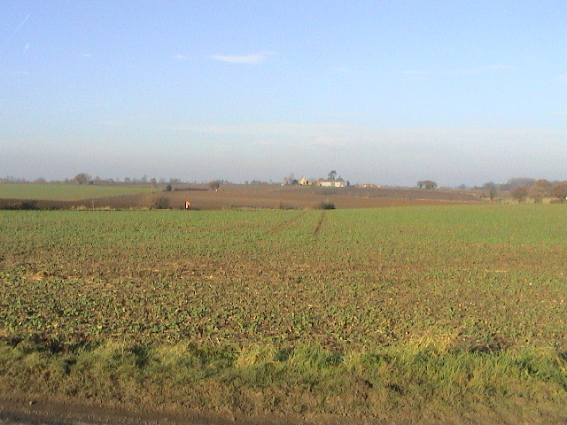
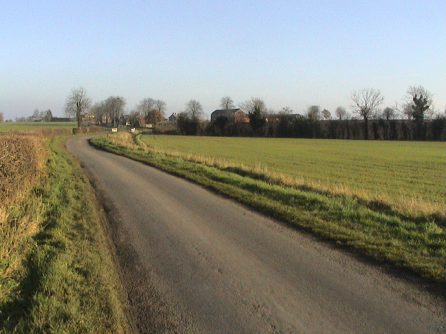
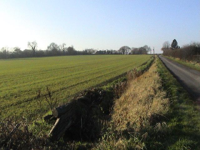
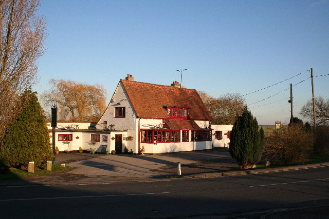
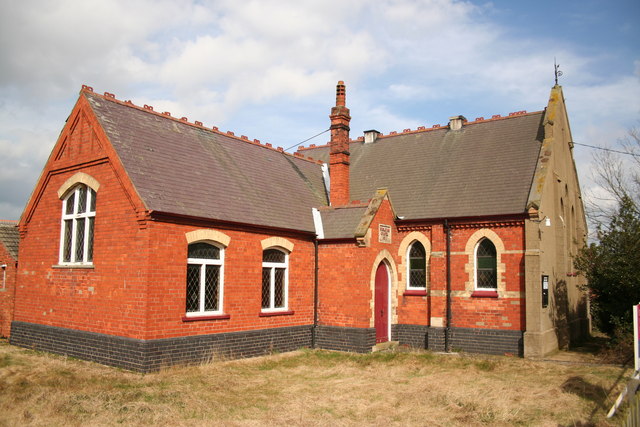
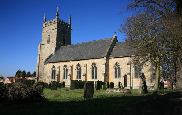
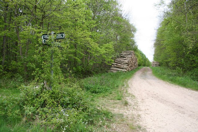
Curtois's Holt Images

Images are sourced within 2km of 53.190381/-0.42238075 or Grid Reference TF0567. Thanks to Geograph Open Source API. All images are credited.

Country road near Branston (1) The bridge ahead carries the railway between Lincoln (left) and Sleaford (right).
Country road near Branston (1)
The bridge ahead carries the railway between Lincoln (left) and Sleaford (right).
Country road near Branston (2) Same as this one <a href="https://www.geograph.org.uk/photo/380495">TF0467 : Branston Moor</a>.
Country road near Branston (2)
Same as this one TF0467 : Branston Moor.
Interior, St Andrew's church, Potterhanworth A cake sale was in progress.
Interior, St Andrew's church, Potterhanworth
A cake sale was in progress.
East window, St Andrew's church, Potterhanworth Four light window by Wailes.
East window, St Andrew's church, Potterhanworth
Four light window by Wailes.
Stained glass window, St Andrew's church, Potterhanworth South chancel window featuring Moses.
Stained glass window, St Andrew's church, Potterhanworth
South chancel window featuring Moses.
Stained glass window, St Andrew's church, Potterhanworth Featuring St George and St Martin.

In memory of Arthur Newsum Battle, 2nd Lieutenant, Lincolnshire Regiment, who fell in Gallipoli in 1915, aged 21.
Stained glass window, St Andrew's church, Potterhanworth
Featuring St George and St Martin. In memory of Arthur Newsum Battle, 2nd Lieutenant, Lincolnshire Regiment, who fell in Gallipoli in 1915, aged 21.
St Andrew's church, Potterhanworth From the north.
St Andrew's church, Potterhanworth
From the north.
Winter Farmland Looking NW from Moor Lane at Stone House Farm. Third Hill Farm is on the horizon.
Winter Farmland
Looking NW from Moor Lane at Stone House Farm. Third Hill Farm is on the horizon.
Branston Moor Looking W from Moor Lane at Stone House Farm.
Branston Moor
Looking W from Moor Lane at Stone House Farm.
Branston Booths Looking E on Moor Lane. The road crosses a white-railed bridge over a drain, with the hamlet of Branston Booths in the background.
Branston Booths
Looking E on Moor Lane. The road crosses a white-railed bridge over a drain, with the hamlet of Branston Booths in the background.
Branston Moor Looking WSW up Moor Lane, with Moorland Farm in the trees on the skyline.
Branston Moor
Looking WSW up Moor Lane, with Moorland Farm in the trees on the skyline.
St.Andrew's church, Potterhanworth, Lincs. Medieval Decorated gothic tower and mid-19th century nave & chancel
St.Andrew's church, Potterhanworth, Lincs.
Medieval Decorated gothic tower and mid-19th century nave & chancel
Potterhanworth Water Tower Potterhanworth Water Tower was built in 1903 with a tank capacity of 37,000 gallons filled from a 150ft deep artesian bore hole in a nearby field. It was financed by an Endowment from Christ's Hospital as the 16th century philanthropist Dr.Richard Smith, founder of Christ's Hospital in Lincoln had land in Potterhanworth .... his coat of arms can be seen in the brickwork. The two rooms below the tank were used for Parish Council meetings, the Men's Institute and, during the war for the Home Guard platoon. The tower was declared redundant in 1978 and tastefully converted to a private house in 1995.
Potterhanworth Water Tower
Potterhanworth Water Tower was built in 1903 with a tank capacity of 37,000 gallons filled from a 150ft deep artesian bore hole in a nearby field. It was financed by an Endowment from Christ's Hospital as the 16th century philanthropist Dr.Richard Smith, founder of Christ's Hospital in Lincoln had land in Potterhanworth .... his coat of arms can be seen in the brickwork. The two rooms below the tank were used for Parish Council meetings, the Men's Institute and, during the war for the Home Guard platoon. The tower was declared redundant in 1978 and tastefully converted to a private house in 1995.
The Plough Inn At the foot of the hill at Potterhanworth Booths, the Plough Inn is the only pub for miles
The Plough Inn
At the foot of the hill at Potterhanworth Booths, the Plough Inn is the only pub for miles
Branston Booths Wesleyan Chapel Built in 1911, now redundant and for sale
Branston Booths Wesleyan Chapel
Built in 1911, now redundant and for sale
POW camp Potterhanworth prisoner of war camp, a relic of WW2 that once housed German and Italian POWs
POW camp
Potterhanworth prisoner of war camp, a relic of WW2 that once housed German and Italian POWs
Potterhanworth Camp POW camp, disused since WW2 near Potterhanworth
Potterhanworth Camp
POW camp, disused since WW2 near Potterhanworth
Moor Lane near Potterhanworth
Moor Lane
near Potterhanworth
Show me another place!

Curtois's Holt is located at Grid Ref: TF0567 (Lat: 53.190381, Lng: -0.42238075)

Administrative County: Lincolnshire

District: North Kesteven

Police Authority: Lincolnshire

What 3 Words

///stale.plus.quote. Near Heighington, Lincolnshire

Nearby Locations

Curtois's Holt

Related Wikis

Potterhanworth

Potterhanworth is a village and civil parish in the North Kesteven district of Lincolnshire, England. The population of the civil parish at the 2011 census...

Potterhanworth railway station

Potterhanworth railway station is a former railway station in Potterhanworth, Lincolnshire. It was on the still-open line between Lincoln and Sleaford...

Branston Booths

Branston Booths is a small village in the North Kesteven district of Lincolnshire, England. The village is situated approximately 5 miles (8 km) east from...

Potterhanworth Wood

Potterhanworth Wood (grid reference TF070670) is a 32.0 hectare woodland, close to the village of Potterhanworth in North Kesteven, Lincolnshire, England...

Nearby Amenities

Located within 500m of 53.190381,-0.42238075
BRANSTON1
Disused: yes
Man Made: petroleum_well
Ref GB Decc: L46/23-33
Source: DECC
Lat/Long: 53.1894444/-0.4266667
Power: pole
Lat/Long: 53.1869731/-0.425405
Power: pole
Lat/Long: 53.1891242/-0.417754
Power: pole
Lat/Long: 53.1873653/-0.4241242
Power: pole
Lat/Long: 53.1870317/-0.4254734
Power: pole
Lat/Long: 53.1880894/-0.4215023
Power: pole
Lat/Long: 53.1863021/-0.4245655
Power: pole
Lat/Long: 53.1897631/-0.4154943
Power: pole
Lat/Long: 53.189387/-0.4168233
Power: pole
Lat/Long: 53.1877374/-0.4195121
Power: pole
Lat/Long: 53.188491/-0.420168
Power: pole
Lat/Long: 53.1888221/-0.4191448
Power: pole
Lat/Long: 53.1870568/-0.4188282
Power: pole
Lat/Long: 53.1877045/-0.4227603
Moor Farm
Place: farm
Source: Bing
Lat/Long: 53.1946349/-0.4220217
Moorhouse Poultry Farm
Place: farm
Source: Bing
Lat/Long: 53.186887/-0.4220982
Generator Method: photovoltaic
Generator Output Electricity: yes
Generator Source: solar
Generator Type: solar_photovoltaic_panel
Location: roof
Power: generator
Lat/Long: 53.1874809/-0.419649
Generator Method: photovoltaic
Generator Output Electricity: yes
Generator Source: solar
Generator Type: solar_photovoltaic_panel
Location: roof
Power: generator
Lat/Long: 53.1866323/-0.4208145
Generator Method: photovoltaic
Generator Output Electricity: yes
Generator Source: solar
Generator Type: solar_photovoltaic_panel
Location: roof
Power: generator
Lat/Long: 53.1866813/-0.4207326
The data included in this document is from www.openstreetmap.org. The data is made available under ODbL.

Have you been to Curtois's Holt?

Leave your review of Curtois's Holt below (or comments, questions and feedback).