Four Acre Plantation

Wood, Forest in Lincolnshire North Kesteven

England

Four Acre Plantation

Ashby de la Launde: parish church of St. Hybald The church is at the end of Church Avenue and was closed as I visited early evening on this Sunday.
Ashby de la Launde: parish church of St. Hybald Credit: Chris Downer

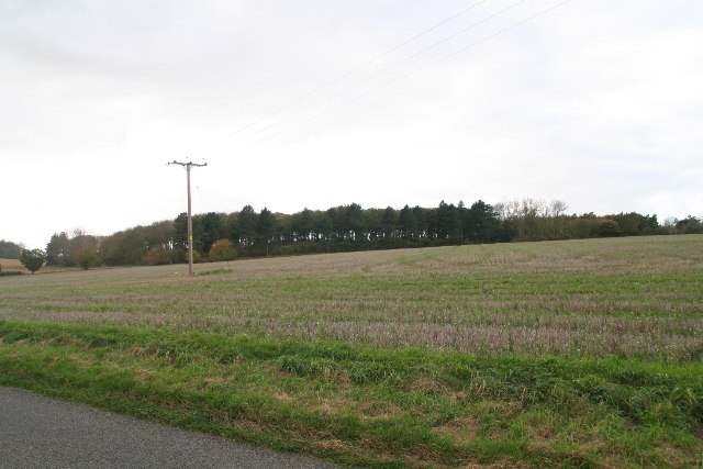
Four Acre Plantation is a picturesque forested area located in Lincolnshire, England. Covering an area of approximately four acres, this plantation is known for its dense woodlands and tranquil atmosphere. It is situated in close proximity to nearby villages and offers a serene escape for nature enthusiasts and hikers.

The plantation is characterized by a diverse range of trees, including oak, beech, and ash, which create a lush and vibrant landscape. The towering canopies of these trees provide ample shade and shelter for a variety of wildlife, making it an ideal spot for birdwatching and nature photography.

Visitors to Four Acre Plantation can explore its well-maintained walking trails that wind through the woodlands. The paths offer breathtaking views of the surrounding countryside and provide an opportunity to immerse oneself in the beauty of nature. Additionally, benches and picnic areas are strategically placed throughout the plantation, allowing visitors to relax and enjoy the peaceful ambiance.

The plantation is managed by the local authorities, who ensure the preservation of its natural beauty and protect the diverse ecosystem within. As a result, Four Acre Plantation is a haven for biodiversity, with a wide range of flora and fauna coexisting harmoniously.

Overall, Four Acre Plantation in Lincolnshire is a hidden gem for nature lovers seeking solace in the midst of the forest. Its lush woodlands, well-maintained trails, and abundant wildlife make it a must-visit destination for those seeking a serene and immersive natural experience.

If you have any feedback on the listing, please let us know in the comments section below.

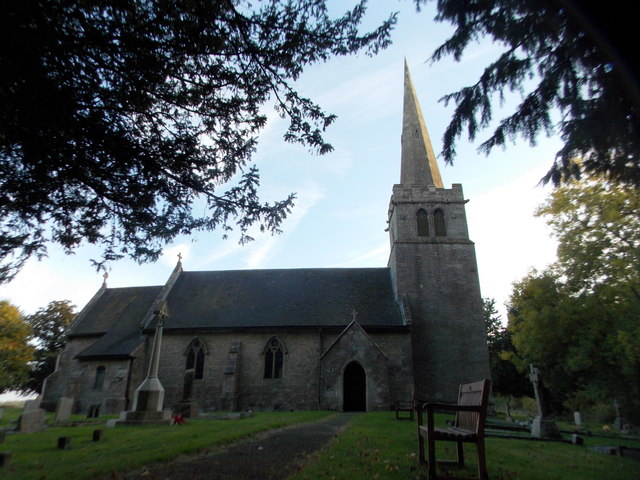
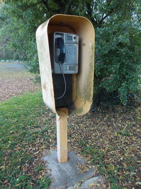
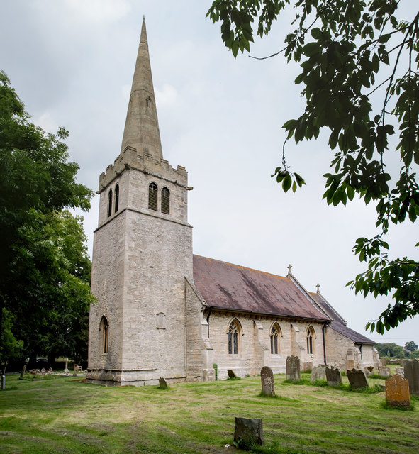
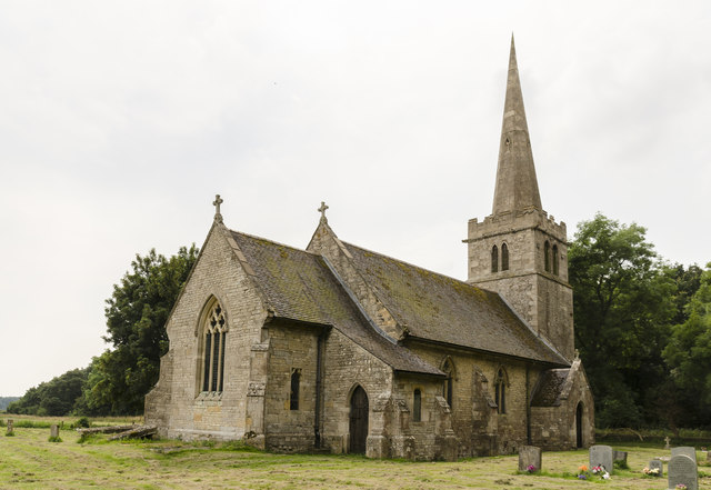
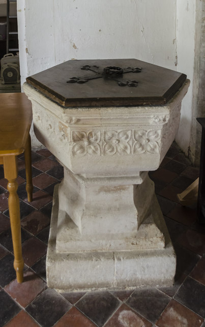
Four Acre Plantation Images

Images are sourced within 2km of 53.068377/-0.42761911 or Grid Reference TF0553. Thanks to Geograph Open Source API. All images are credited.

Ashby de la Launde: parish church of St. Hybald The church is at the end of Church Avenue and was closed as I visited early evening on this Sunday.
Ashby de la Launde: parish church of St. Hybald
The church is at the end of Church Avenue and was closed as I visited early evening on this Sunday.
Ashby de la Launde: payphone in Church Avenue A rare sight nowadays, not that I ever recall them being all that common. This payphone is a Booth 7A - thanks to information from someone in the know about phone boxes, who also added: "also known as an Oakham due to its resemblance to a tin of old oak ham."

When the red kiosks were being replaced by the familiar square boxes, these yellow phones were superseded by the KX410, seen for example here: <a href="https://www.geograph.org.uk/photo/3759938">SY8097 : Milborne St. Andrew: public phone in Milton Road Close</a>
Ashby de la Launde: payphone in Church Avenue
A rare sight nowadays, not that I ever recall them being all that common. This payphone is a Booth 7A - thanks to information from someone in the know about phone boxes, who also added: "also known as an Oakham due to its resemblance to a tin of old oak ham." When the red kiosks were being replaced by the familiar square boxes, these yellow phones were superseded by the KX410, seen for example here: SY8097 : Milborne St. Andrew: public phone in Milton Road Close
St Hybald's church, Ashby de la Launde Viewed from the south west.
St Hybald's church, Ashby de la Launde
Viewed from the south west.
St Hybald's church, Ashby de la Launde From the north east.
St Hybald's church, Ashby de la Launde
From the north east.
Interior, St Hybald's church, Ashby de la Launde The hatchment on the right is to the King family.
Interior, St Hybald's church, Ashby de la Launde
The hatchment on the right is to the King family.
Interior, St Hybald's church, Ashby de la Launde The walled up north arcade can be seen, the arches being retained.
Interior, St Hybald's church, Ashby de la Launde
The walled up north arcade can be seen, the arches being retained.
East window, St Hybald's church, Ashby de la Launde Various scenes along with the Instruments of the Passion.
The reredos obscures the  lower part.
Probably dates from 1850's.
East window, St Hybald's church, Ashby de la Launde
Various scenes along with the Instruments of the Passion. The reredos obscures the lower part. Probably dates from 1850's.
Monument to Edward King & wives, St Hybald's church Owner of Ashby Manor from 1580, he restored the church in 1608, and died in 1617.
He married twice, Firstly Mary Clopton, they had 6 children, then Elizabeth Colley, a widow. They had a son who died young.
Monument to Edward King & wives, St Hybald's church
Owner of Ashby Manor from 1580, he restored the church in 1608, and died in 1617. He married twice, Firstly Mary Clopton, they had 6 children, then Elizabeth Colley, a widow. They had a son who died young.
Monument, St Hybald's church, Ashby de la Launde Originally part of the King memorial <a href="https://www.geograph.org.uk/photo/5043325">TF0554 : Monument to Edward King & wives, St Hybald's church</a>, now on the opposite wall of the chancel.
It depicts Mary, Ann, Elizabeth (died age 6) and Amy who died young.
There would also have been a memorial to his 3 sons, but this is presumably lost.
Monument, St Hybald's church, Ashby de la Launde
Originally part of the King memorial TF0554 : Monument to Edward King & wives, St Hybald's church, now on the opposite wall of the chancel. It depicts Mary, Ann, Elizabeth (died age 6) and Amy who died young. There would also have been a memorial to his 3 sons, but this is presumably lost.
Stained glass window, St Hybald's church. Ashby de la Launde New Testament scenes in a window in memory of Col. Neville King, d.1833, aged 81. Also to Clifford King, his son, d. 1841.
Stained glass window, St Hybald's church. Ashby de la Launde
New Testament scenes in a window in memory of Col. Neville King, d.1833, aged 81. Also to Clifford King, his son, d. 1841.
Stained glass window, St Hybald's church, Ashby de la Launde Tower window depicting Faith and Hope, in memory of Joseph and Sarah Clarke and daughters Maryanne and Alisimon, 1862.
Stained glass window, St Hybald's church, Ashby de la Launde
Tower window depicting Faith and Hope, in memory of Joseph and Sarah Clarke and daughters Maryanne and Alisimon, 1862.
North doorway, St Hybald's church, Ashby de la Launde The large crack looks worrying.
North doorway, St Hybald's church, Ashby de la Launde
The large crack looks worrying.
Font, St Hybald's church, Ashby de la Launde 
Grade II*listed

One of four churches with this dedication in Lincolnshire, Saint Hybald was a Saxon Saint who died in circa 690.
The church dates from the 12th century onwards, and once belonged to the Knights Templar.
It was partly rebuilt in the mid 19th century following a fire.
There is a west tower with a spire, nave, north porch, chancel, and vestry.
The tower dates from the 13th century, although has been much restored. There is a battlemented parapet with gargoyles and recessed octagonal spire with one tier of lucarnes. There are five bells.
The nave has a three bay arcade, however the north aisle has gone and a wall was built just north of the piers.
The north door has a 13th century arch with dogtooth decoration.
The font is from the early 14th century being a hexagonal bowl on a square base decorated with fleurons.
At the west end of the nave there is a fragment of a tombstone to Isabel de la Launde from c. 1400.
The nave roof is a 19th-century hammer beam with carved Angels.
The chancel contains a monument to Edward King, died 1617, and his two wives. On the opposite wall is the other half of the original monument, namely his children. It was originally all one.

There is a small single manual organ attributed to Flight and Robson from the early 19th century.
Font, St Hybald's church, Ashby de la Launde
Grade II*listed One of four churches with this dedication in Lincolnshire, Saint Hybald was a Saxon Saint who died in circa 690. The church dates from the 12th century onwards, and once belonged to the Knights Templar. It was partly rebuilt in the mid 19th century following a fire. There is a west tower with a spire, nave, north porch, chancel, and vestry. The tower dates from the 13th century, although has been much restored. There is a battlemented parapet with gargoyles and recessed octagonal spire with one tier of lucarnes. There are five bells. The nave has a three bay arcade, however the north aisle has gone and a wall was built just north of the piers. The north door has a 13th century arch with dogtooth decoration. The font is from the early 14th century being a hexagonal bowl on a square base decorated with fleurons. At the west end of the nave there is a fragment of a tombstone to Isabel de la Launde from c. 1400. The nave roof is a 19th-century hammer beam with carved Angels. The chancel contains a monument to Edward King, died 1617, and his two wives. On the opposite wall is the other half of the original monument, namely his children. It was originally all one. There is a small single manual organ attributed to Flight and Robson from the early 19th century.
Ordnance Survey Cut Mark This OS cut mark can be found on the west face of St Hybald's Church. It marks a point 33.860m above mean sea level.
Ordnance Survey Cut Mark
This OS cut mark can be found on the west face of St Hybald's Church. It marks a point 33.860m above mean sea level.
Houses at the end of Main Street, Ashby de la Launde
Junction of B1191 and Navenby Lane
Keeper's Covert by the B1191 near Ashby de la Launde
Farm track off the B1191 south of Ashby de la Launde
Show me another place!

Four Acre Plantation is located at Grid Ref: TF0553 (Lat: 53.068377, Lng: -0.42761911)

Administrative County: Lincolnshire

District: North Kesteven

Police Authority: Lincolnshire

What 3 Words

///triangles.showcase.overjoyed. Near Ruskington, Lincolnshire

Related Wikis

Ashby de la Launde and Bloxholm

Ashby de la Launde and Bloxholm is a civil parish in the North Kesteven district of Lincolnshire, England. According to the 2001 Census it had a population...

Bloxholm

Bloxholm is a hamlet, and part of the civil parish of Ashby de la Launde and Bloxholm, in the North Kesteven district of Lincolnshire, England. It is situated...

Ashby de la Launde

Ashby de la Launde is a small village, part of the civil parish of Ashby de la Launde and Bloxholm, in the North Kesteven district of Lincolnshire, England...

RAF Digby

Royal Air Force Digby otherwise known as RAF Digby is a Royal Air Force station located near Scopwick and 11.6 mi (18.7 km) south east of Lincoln, in Lincolnshire...

Digby, Lincolnshire

Digby is a small village and civil parish in the district of North Kesteven, Lincolnshire, England. The village is in the vale of the Digby Beck watercourse...

Dorrington, Lincolnshire

Dorrington is a village and civil parish in the North Kesteven district of Lincolnshire, England. It is situated 1.2 miles (2 km) both south from Digby...

Digby railway station

Digby railway station was a railway station in Digby, Lincolnshire, which was open between 1882 and 1961. == History == The railway line between Sleaford...

Deanery of Lafford

The Deanery of Lafford is an historic deanery in the Anglican Diocese of Lincoln in England. Located around the market town of Sleaford, it covers an area...

Nearby Amenities

Located within 500m of 53.068377,-0.42761911
Ele: 23
Lat/Long: 53.0663028/-0.4316933
Ele: 21
Lat/Long: 53.0661771/-0.4285647
Ele: 19
Lat/Long: 53.0662993/-0.4253733
Ele: 18
Lat/Long: 53.0664291/-0.4247147
The Mount
Natural: peak
Source: Bing
Lat/Long: 53.0703187/-0.4332698
Barrier: stile
Steps: 2
Stile: stepover
Lat/Long: 53.0704568/-0.4334695
Barrier: stile
Steps: 2
Stile: stepover
Lat/Long: 53.0704943/-0.4318623
Barrier: stile
Steps: 2
Stile: stepover
Lat/Long: 53.0707112/-0.426628
The Laurels
Place: locality
Source: Bing
Lat/Long: 53.0688642/-0.4238889
Hill Farm Cottages
Place: isolated_dwelling
Source: Bing
Lat/Long: 53.0657508/-0.4259351
Ford: yes
Lat/Long: 53.068489/-0.4293998
The data included in this document is from www.openstreetmap.org. The data is made available under ODbL.

Have you been to Four Acre Plantation?

Leave your review of Four Acre Plantation below (or comments, questions and feedback).