Norcote Wood

Wood, Forest in Surrey Guildford

England

Norcote Wood

SS Peter & Paul, West Clandon: rear view
SS Peter & Paul, West Clandon: rear view Credit: Basher Eyre

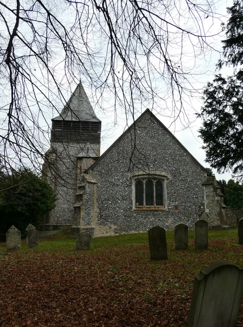
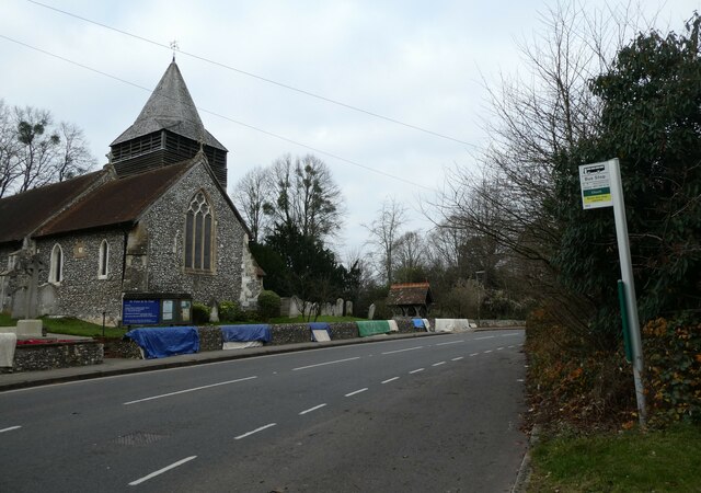
Norcote Wood is a picturesque woodland located in the county of Surrey, England. Covering an area of approximately 100 acres, it is situated in the southern part of the county, near the village of Norcote. The wood is part of a larger forested area known as the Surrey Hills Area of Outstanding Natural Beauty.

The woodland is predominantly composed of deciduous trees, with a variety of species including oak, beech, and birch. These trees create a dense canopy, providing shade and shelter for a diverse range of wildlife. Norcote Wood is particularly known for its rich bird population, with species such as woodpeckers, owls, and warblers often spotted among the branches.

The forest floor is covered in a thick carpet of ferns, mosses, and wildflowers, adding to the beauty and biodiversity of the wood. It is a popular destination for nature lovers, hikers, and photographers, who can enjoy the tranquil atmosphere and capture stunning images of the natural surroundings.

Norcote Wood is crisscrossed by a network of footpaths and trails, allowing visitors to explore the area and discover hidden spots within the woodland. These pathways are well-maintained and provide a pleasant walking experience for both casual strollers and more experienced hikers.

The wood is also home to several species of mammals, including deer, foxes, and badgers, which can often be seen foraging for food or roaming through the undergrowth. The peaceful and secluded nature of Norcote Wood makes it a haven for wildlife, offering them a safe and undisturbed habitat.

Overall, Norcote Wood is a beautiful and tranquil woodland in Surrey, offering visitors the opportunity to immerse themselves in nature and enjoy the sights and sounds of a thriving ecosystem.

If you have any feedback on the listing, please let us know in the comments section below.

Norcote Wood Images

Images are sourced within 2km of 51.259236/-0.49075324 or Grid Reference TQ0552. Thanks to Geograph Open Source API. All images are credited.

SS Peter & Paul, West Clandon: rear view
SS Peter & Paul, West Clandon: seasonal bower
SS Peter & Paul, West Clandon: CWGC grave For the service record of Bomabardier Evans see <span class="nowrap"><a title="https://www.cwgc.org/find-records/find-war-dead/casualty-details/401657/w-evans/" rel="nofollow ugc noopener" href="https://www.cwgc.org/find-records/find-war-dead/casualty-details/401657/w-evans/">Link</a><img style="margin-left:2px;" alt="External link" title="External link - shift click to open in new window" src="https://s1.geograph.org.uk/img/external.png" width="10" height="10"/></span>
SS Peter & Paul, West Clandon: CWGC grave
For the service record of Bomabardier Evans see LinkExternal link
SS Peter & Paul, West Clandon: names on the war memorial Many war memorials appeared in British towns and cities after the South African War of 1899-1902 (known popularly as the Boer War), but most were constructed after the First World War, known to contemporaries as the Great War (1914-19). These were updated after the Second World War (1939-45), usually by adding a plaque with the names of those killed in that conflict. Almost every town and village in Britain has a memorial erected after the Great War, the commonest types taking the form of a cross, an obelisk or a statue of a soldier. Some occupy a prominent public space; others stand in the local cemetery or can be found inside the local church. Memorials usually commemorate the inhabitants of a particular locality, the former pupils of a school, or the members of a military unit or branch of the armed forces. Other memorials, often bronze plaques placed indoors, commemorate the employees of a private company or public institution.
SS Peter & Paul, West Clandon: names on the war memorial
Many war memorials appeared in British towns and cities after the South African War of 1899-1902 (known popularly as the Boer War), but most were constructed after the First World War, known to contemporaries as the Great War (1914-19). These were updated after the Second World War (1939-45), usually by adding a plaque with the names of those killed in that conflict. Almost every town and village in Britain has a memorial erected after the Great War, the commonest types taking the form of a cross, an obelisk or a statue of a soldier. Some occupy a prominent public space; others stand in the local cemetery or can be found inside the local church. Memorials usually commemorate the inhabitants of a particular locality, the former pupils of a school, or the members of a military unit or branch of the armed forces. Other memorials, often bronze plaques placed indoors, commemorate the employees of a private company or public institution.
Bus stop opposite West Clandon Church
Looking south-southeast along the A247 Taken at West Clandon: also see <span class="nowrap"><a title="https://www.sabre-roads.org.uk/wiki/index.php?title=A247" rel="nofollow ugc noopener" href="https://www.sabre-roads.org.uk/wiki/index.php?title=A247">Link</a><img style="margin-left:2px;" alt="External link" title="External link - shift click to open in new window" src="https://s1.geograph.org.uk/img/external.png" width="10" height="10"/></span>
Looking south-southeast along the A247
Taken at West Clandon: also see LinkExternal link
Hatchlands Park Large oak with bright green spring foliage within the landscaped parkland at Hatchlands.
Hatchlands Park
Large oak with bright green spring foliage within the landscaped parkland at Hatchlands.
Hatchlands Park - Bluebells Tiptoe through the bluebells, on marked paths, in Little Wix Wood.
Hatchlands Park - Bluebells
Tiptoe through the bluebells, on marked paths, in Little Wix Wood.
Hatchlands Park - Rhododendron One of the springtime attractions on the Long Walk around the Hatchlands estate.
Hatchlands Park - Rhododendron
One of the springtime attractions on the Long Walk around the Hatchlands estate.
Hatchlands Park A large healthy oak bursts into full leaf beside one in much poorer condition.
Hatchlands Park
A large healthy oak bursts into full leaf beside one in much poorer condition.
Hatchlands - Garden Palm tree and sculpture in the formal garden on the north side of the house.
Hatchlands - Garden
Palm tree and sculpture in the formal garden on the north side of the house.
Hatchlands - White Bluebells Genetic mutation at Hatchlands Park - bluebells are normally blue.
Hatchlands - White Bluebells
Genetic mutation at Hatchlands Park - bluebells are normally blue.
Hatchlands Park - Specimen Trees The tree on the left is a London Plane left to grow in its natural state.
Hatchlands Park - Specimen Trees
The tree on the left is a London Plane left to grow in its natural state.
Clandon House - Salvaged Meissen Cows Exhibit inside the fire-ravaged Palladian mansion. The National Trust offers guided tours inside the house shell.
Clandon House - Salvaged Meissen Cows
Exhibit inside the fire-ravaged Palladian mansion. The National Trust offers guided tours inside the house shell.
Clandon House - Fire Damage Ornate fireplace and red brick walls on show within the Palladian mansion which was gutted by fire in 2015.
Clandon House - Fire Damage
Ornate fireplace and red brick walls on show within the Palladian mansion which was gutted by fire in 2015.
Clandon Park - London Maori Club Ngati Ranana, London Maori Club dancer outside the shell of Hinemihi, a Maori meeting house in the grounds of Clandon House.
The club aims to provide New Zealanders in the UK and others interested in Maori culture an environment to teach, learn and participate.
<span class="nowrap"><a title="www.ngatiranana.co.uk" rel="nofollow ugc noopener" href="http://www.ngatiranana.co.uk">Link</a><img style="margin-left:2px;" alt="External link" title="External link - shift click to open in new window" src="https://s1.geograph.org.uk/img/external.png" width="10" height="10"/></span>
Clandon Park - London Maori Club
Ngati Ranana, London Maori Club dancer outside the shell of Hinemihi, a Maori meeting house in the grounds of Clandon House. The club aims to provide New Zealanders in the UK and others interested in Maori culture an environment to teach, learn and participate. LinkExternal link
Clandon Park - London Maori Club Ngati Ranana, London Maori Club trio outside the shell of Hinemihi, a Maori meeting house in the grounds of Clandon House.
The club aims to provide New Zealanders in the UK and others interested in Maori culture an environment to teach, learn and participate.
<span class="nowrap"><a title="www.ngatiranana.co.uk" rel="nofollow ugc noopener" href="http://www.ngatiranana.co.uk">Link</a><img style="margin-left:2px;" alt="External link" title="External link - shift click to open in new window" src="https://s1.geograph.org.uk/img/external.png" width="10" height="10"/></span>
Clandon Park - London Maori Club
Ngati Ranana, London Maori Club trio outside the shell of Hinemihi, a Maori meeting house in the grounds of Clandon House. The club aims to provide New Zealanders in the UK and others interested in Maori culture an environment to teach, learn and participate. LinkExternal link
Clandon Park - London Maori Club Ngati Ranana, London Maori Club choir outside the shell of Hinemihi, a Maori meeting house in the grounds of Clandon House.
The club aims to provide New Zealanders in the UK and others interested in Maori culture an environment to teach, learn and participate.
<span class="nowrap"><a title="www.ngatiranana.co.uk" rel="nofollow ugc noopener" href="http://www.ngatiranana.co.uk">Link</a><img style="margin-left:2px;" alt="External link" title="External link - shift click to open in new window" src="https://s1.geograph.org.uk/img/external.png" width="10" height="10"/></span>
Clandon Park - London Maori Club
Ngati Ranana, London Maori Club choir outside the shell of Hinemihi, a Maori meeting house in the grounds of Clandon House. The club aims to provide New Zealanders in the UK and others interested in Maori culture an environment to teach, learn and participate. LinkExternal link
Show me another place!

Norcote Wood is located at Grid Ref: TQ0552 (Lat: 51.259236, Lng: -0.49075324)

Administrative County: Surrey

District: Guildford

Police Authority: Surrey

What 3 Words

///gallons.venues.tells. Near West Clandon, Surrey

Related Wikis

East Clandon

East Clandon is a village and civil parish in Surrey, England on the A246 between the towns of Guildford to the west and Leatherhead to the east. Neighbouring...

Clandon railway station

Clandon railway station is located in the village of West Clandon in Surrey, England. It is 25 miles 26 chains (40.8 km) down the line from London Waterloo...

North Downs

The North Downs are a ridge of chalk hills in south east England that stretch from Farnham in Surrey to the White Cliffs of Dover in Kent. Much of the...

West Clandon

West Clandon is a village in Surrey, England within 1 mile of the A3. It is situated one mile north west of the much smaller separate village of East Clandon...
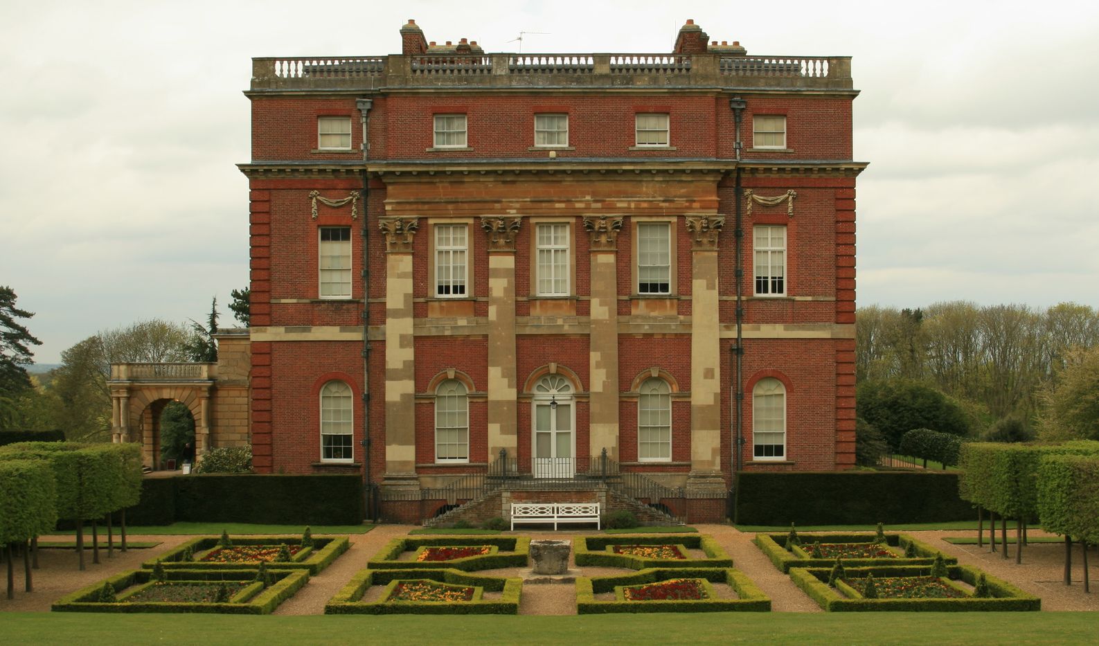
Hatchlands Park

Hatchlands Park is a red-brick country house with surrounding gardens in East Clandon, Surrey, England, covering 170 hectares (430 acres). It is located...

HM Prison Send

HM Prison Send is a closed category women's prison in the extreme south of Ripley nearer Send in Surrey, England. Its post town is Woking. The prison...

Clandon Park House

Clandon Park House is an early 18th-century grade I listed Palladian mansion in West Clandon, near Guildford in Surrey.It stands in the south east corner...

West Horsley

West Horsley is a semi-rural village between Guildford and Leatherhead in Surrey, England. It lies on the A246, and south of the M25 and the A3. Its civil...

Have you been to Norcote Wood?

Leave your review of Norcote Wood below (or comments, questions and feedback).