Meadow Coppice
Wood, Forest in Northamptonshire
England
Meadow Coppice

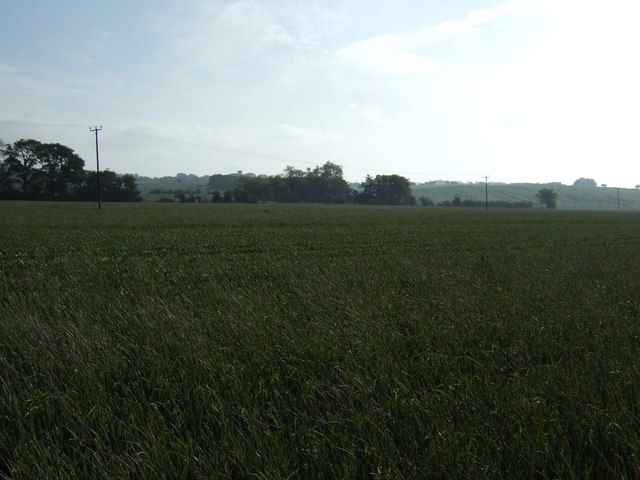
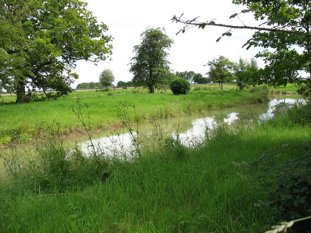
Meadow Coppice is a beautiful woodland located in the county of Northamptonshire, England. Covering an area of approximately 50 acres, it is a popular destination for nature enthusiasts and those seeking tranquility amidst the hustle and bustle of everyday life.
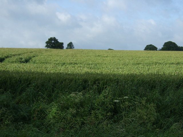
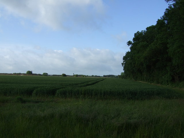
The woodland is primarily composed of a variety of deciduous trees, including oak, ash, birch, and beech, creating a diverse and vibrant ecosystem. The trees provide a rich canopy that allows sunlight to filter through, creating a picturesque and inviting atmosphere.
Meadow Coppice is home to a wide range of wildlife, making it a haven for nature lovers. Visitors may spot various bird species, such as woodpeckers, owls, and thrushes, as well as small mammals like foxes, badgers, and squirrels. The woodland floor is adorned with an array of wildflowers, adding splashes of color and beauty to the landscape.
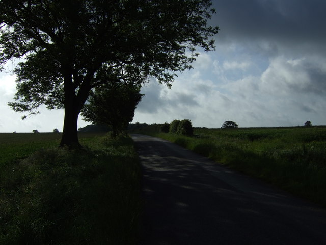
The forest offers a network of well-maintained trails, allowing visitors to explore and immerse themselves in the natural surroundings. These paths cater to all levels of fitness and offer opportunities for walking, jogging, and cycling. Additionally, there are designated areas for picnics and relaxation, where visitors can enjoy a peaceful moment surrounded by nature.
Meadow Coppice is managed by the local authorities, who ensure the preservation of the woodland's natural beauty and biodiversity. They also organize educational programs and guided tours to raise awareness about the importance of conservation and sustainable practices.
Overall, Meadow Coppice is a serene and enchanting woodland in Northamptonshire, providing a much-needed escape into nature for both locals and tourists alike.
If you have any feedback on the listing, please let us know in the comments section below.
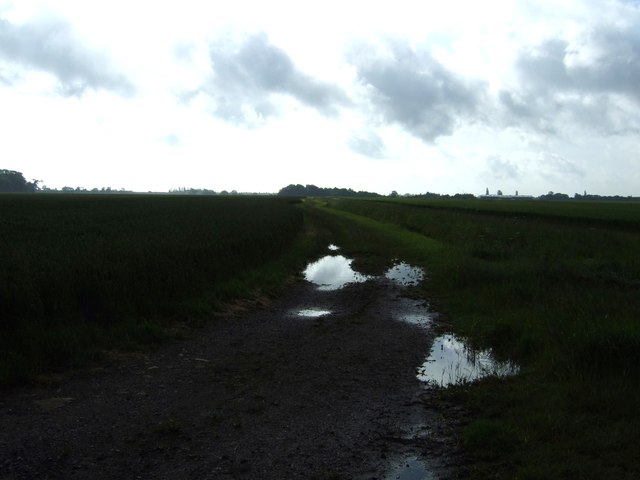
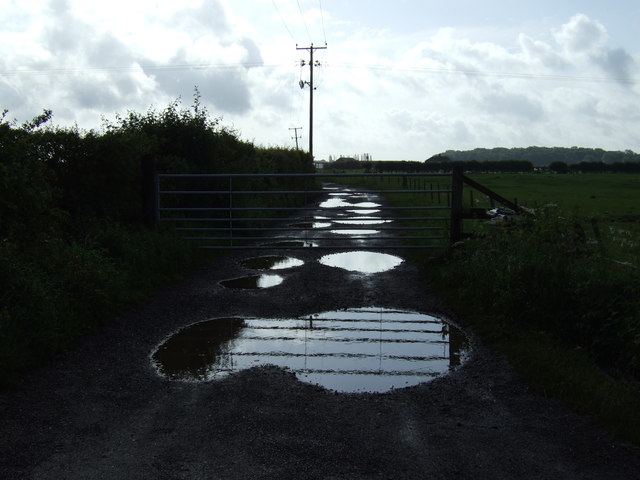
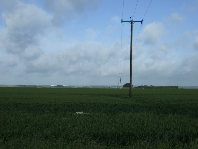
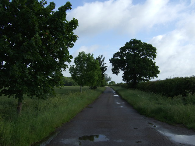
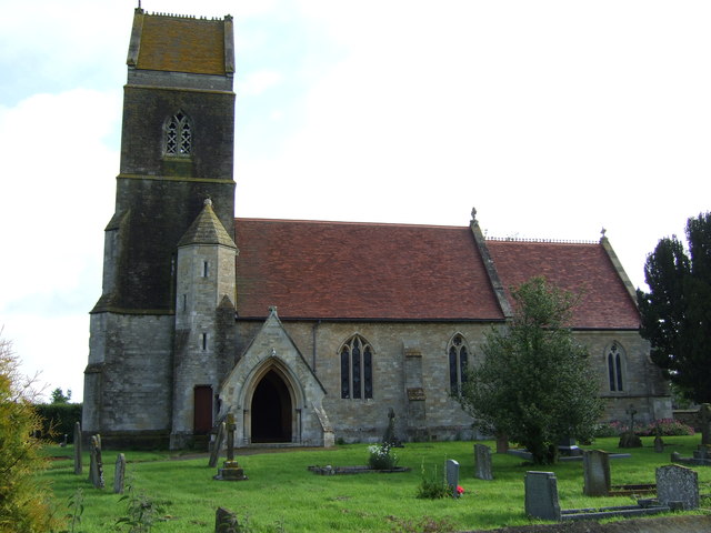
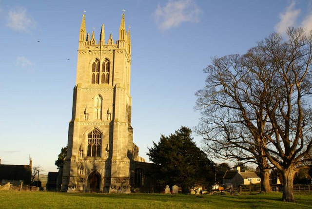
Meadow Coppice Images
Images are sourced within 2km of 52.39886/-0.4524087 or Grid Reference TL0578. Thanks to Geograph Open Source API. All images are credited.


Meadow Coppice is located at Grid Ref: TL0578 (Lat: 52.39886, Lng: -0.4524087)
Unitary Authority: North Northamptonshire
Police Authority: Northamptonshire
What 3 Words
///highly.stored.labels. Near Thrapston, Northamptonshire
Nearby Locations
Related Wikis

Clopton, Northamptonshire
Clopton is a small village and civil parish located in North Northamptonshire, close to the Cambridgeshire border. The village stretches along the north...

Titchmarsh Meadow
Titchmarsh Meadow is a 2.2-hectare (5.4-acre) biological Site of Special Scientific Interest north-east of Titchmarsh in Northamptonshire. This poorly...
Titchmarsh, Northamptonshire
Titchmarsh is a village and civil parish in North Northamptonshire, England. The 2001 census recorded a parish population of 543 people, increasing to...

Wigsthorpe
Wigsthorpe is a hamlet in the east of the English county of Northamptonshire, south of the town of Oundle and the village of Barnwell. It is in North Northamptonshire...
Nearby Amenities
Located within 500m of 52.39886,-0.4524087Have you been to Meadow Coppice?
Leave your review of Meadow Coppice below (or comments, questions and feedback).