Rookery Wood
Wood, Forest in Hertfordshire Dacorum
England
Rookery Wood
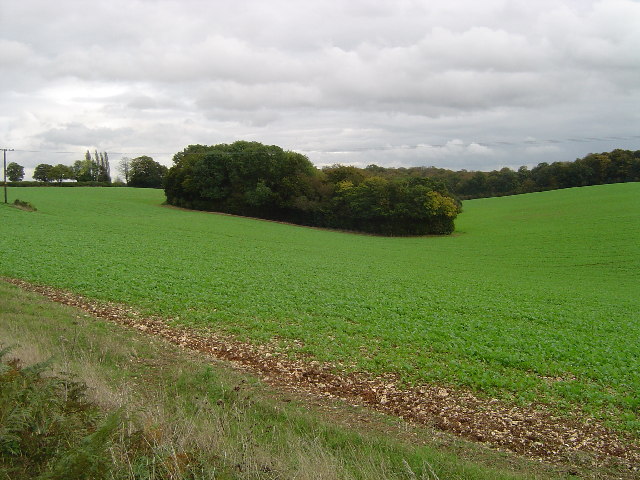
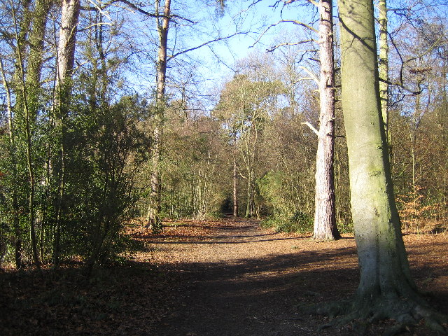
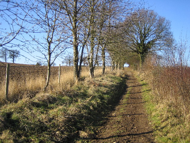
Rookery Wood is a picturesque woodland located in the county of Hertfordshire, England. With an area spanning approximately 50 acres, it offers visitors a serene and enchanting experience in the heart of nature. The wood is situated close to the town of Ware and is easily accessible by both car and public transport.
The wood is predominantly made up of native broadleaf trees, including oak, beech, and birch, which create a dense canopy overhead, providing shade and shelter for a diverse range of flora and fauna. The forest floor is covered with a rich carpet of bluebells during the spring, creating a stunning display of color. In addition to the bluebells, visitors can also spot wild garlic, wood anemones, and primroses, adding to the woodland's natural beauty.
Rookery Wood is home to a variety of bird species, making it a haven for birdwatchers. Visitors may catch a glimpse of the vibrant plumage of the great spotted woodpecker or hear the melodic songs of the chiffchaff and blackcap. The wood is also inhabited by mammals such as squirrels, foxes, and deer, which can occasionally be seen from the well-maintained footpaths that wind their way through the woodland.
The wood is managed by a local conservation group, ensuring the preservation of its natural habitats and the protection of its wildlife. Visitors can enjoy leisurely walks, picnics, and photography in this tranquil setting. Rookery Wood is a true gem of Hertfordshire, offering a peaceful retreat for nature enthusiasts and a valuable resource for ecological education and conservation efforts.
If you have any feedback on the listing, please let us know in the comments section below.
Rookery Wood Images
Images are sourced within 2km of 51.703737/-0.47742719 or Grid Reference TL0501. Thanks to Geograph Open Source API. All images are credited.


Rookery Wood is located at Grid Ref: TL0501 (Lat: 51.703737, Lng: -0.47742719)
Administrative County: Hertfordshire
District: Dacorum
Police Authority: Hertfordshire
What 3 Words
///flood.path.torn. Near Kings Langley, Hertfordshire
Nearby Locations
Related Wikis

The Manor House, Chipperfield
The Manor House (formerly known as Pingelsgate) is a country house in Chipperfield, Hertfordshire, England. It dates from the late medieval period. It...

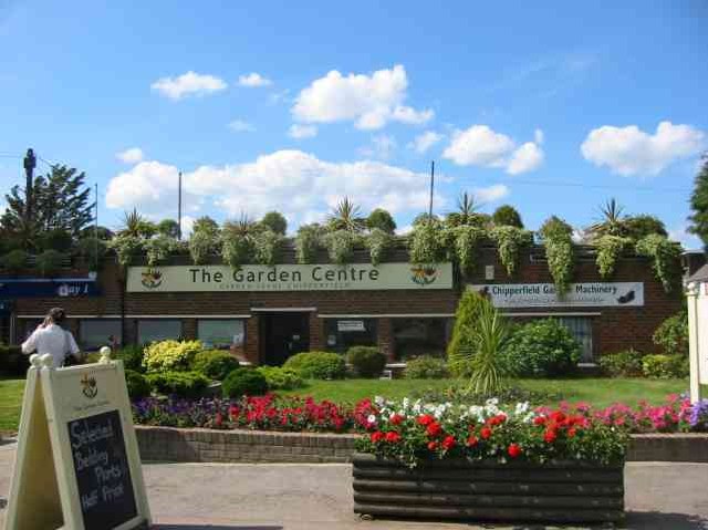
Chipperfield
Chipperfield is a village and civil parish in the Dacorum district of Hertfordshire, England, approximately five miles southwest of Hemel Hempstead and...

King's Langley Priory
King's Langley Priory was a Dominican priory in Kings Langley, Hertfordshire, England. It was located adjacent to the Kings Langley Royal Palace, residence...
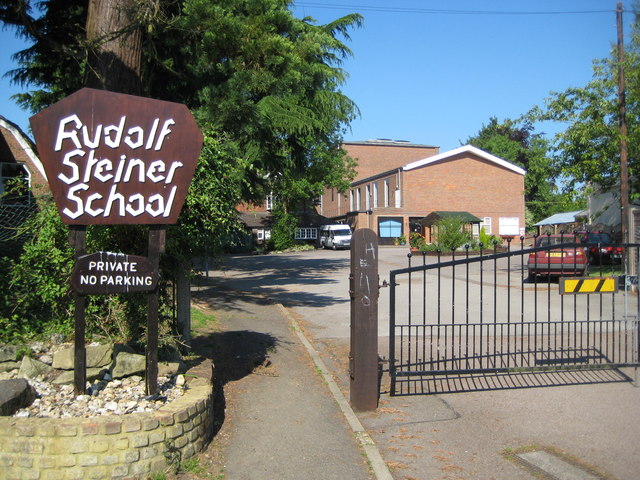
Rudolf Steiner School Kings Langley
Rudolf Steiner School Kings Langley was a Steiner School located in Kings Langley, Hertfordshire, England, formed in 1949. The school catered for pupils...

Kings Langley Palace
Kings Langley Palace was a 13th-century Royal Palace which was located to the west of the Hertfordshire village of Kings Langley in England. During the...

Kings Langley School
Kings Langley School is a coeducational secondary school and sixth form with academy status, located in the village of Kings Langley in Hertfordshire,...

Kings Langley
Kings Langley is a village, former manor and civil parish in Hertfordshire, England, 21 miles (34 kilometres) north-west of Westminster in the historic...
Belsize, Hertfordshire
Belsize is a hamlet in Sarratt civil parish, Three Rivers District, Hertfordshire, England, situated less than a mile from Chipperfield and Sarratt.Belsize...
Have you been to Rookery Wood?
Leave your review of Rookery Wood below (or comments, questions and feedback).