Aike Plantation
Wood, Forest in Yorkshire
England
Aike Plantation
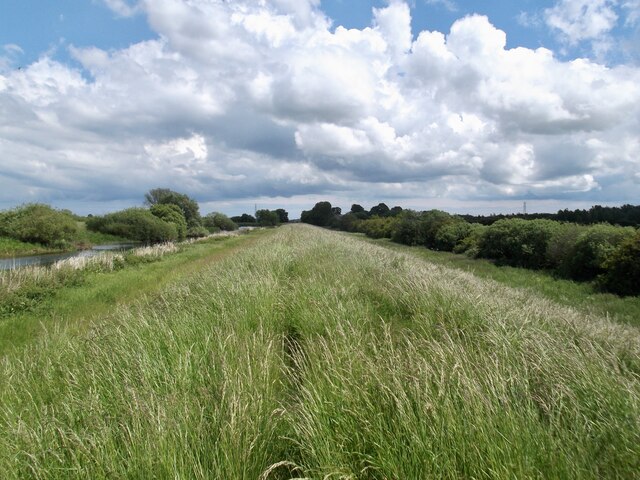
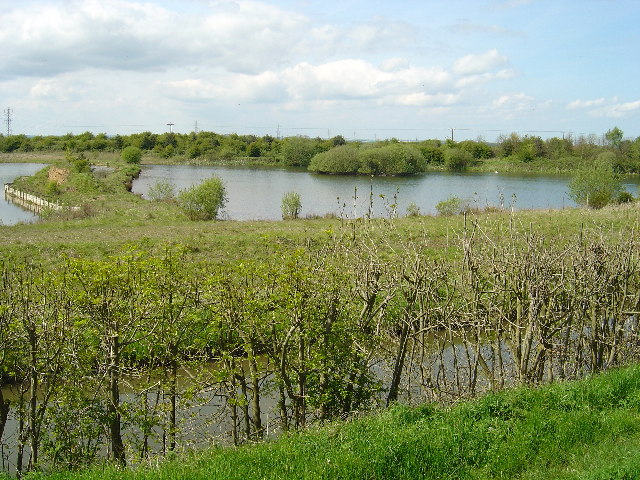
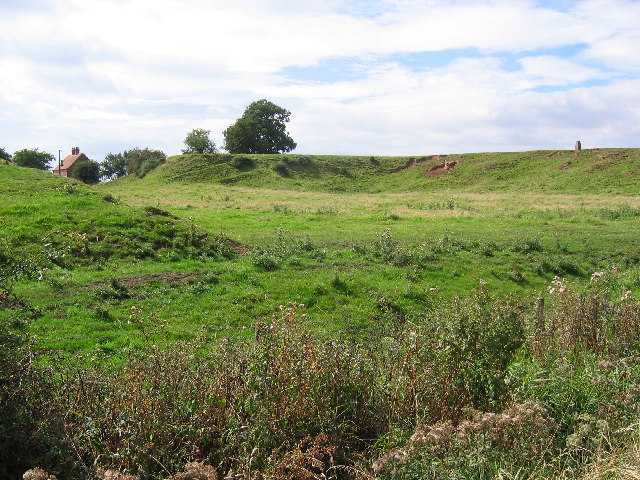
Aike Plantation is a picturesque woodland area located in the county of Yorkshire, England. Situated near the village of Aike, this plantation covers a sprawling area of lush greenery and is renowned for its rich biodiversity and natural beauty.
The plantation predominantly consists of a dense forest, characterized by towering trees and a diverse range of flora and fauna. The woodlands are home to a variety of tree species, including oak, beech, and birch, which provide a stunning display of colorful foliage throughout the seasons.
Aike Plantation offers a tranquil escape for nature enthusiasts and outdoor lovers. The well-maintained walking trails winding through the woodland provide a perfect setting for leisurely strolls, hikes, and birdwatching. Visitors can expect to encounter a plethora of wildlife, such as deer, foxes, and numerous bird species, making it an ideal spot for wildlife enthusiasts and photographers.
The plantation also boasts a rich history, having been used for timber production in the past. Today, it serves as a valuable habitat for wildlife conservation and is managed to preserve its natural heritage.
Accessible to the public, Aike Plantation provides a serene and serene natural environment for visitors to immerse themselves in the beauty of Yorkshire's countryside. Whether it's a peaceful walk, a picnic by a babbling brook, or simply enjoying the sights and sounds of nature, Aike Plantation offers a delightful experience for all who venture into its enchanting woodlands.
If you have any feedback on the listing, please let us know in the comments section below.
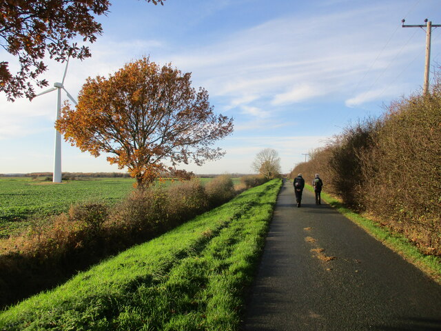
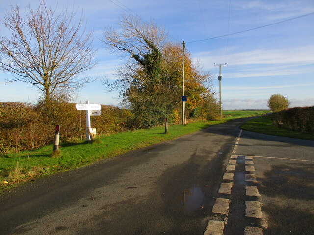
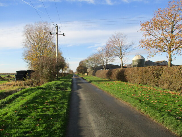
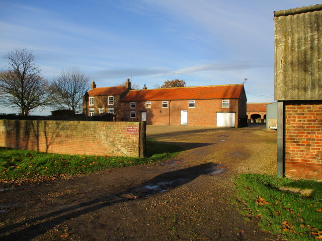
Aike Plantation Images
Images are sourced within 2km of 53.90268/-0.39871076 or Grid Reference TA0546. Thanks to Geograph Open Source API. All images are credited.


Aike Plantation is located at Grid Ref: TA0546 (Lat: 53.90268, Lng: -0.39871076)
Division: East Riding
Unitary Authority: East Riding of Yorkshire
Police Authority: Humberside
What 3 Words
///drooling.hobbies.newly. Near Watton, East Yorkshire
Nearby Locations
Related Wikis

Aike
Aike ( ) is a hamlet and former civil parish, now in the parish of Lockington, in the East Riding of Yorkshire, England. The hamlet is centred around a...
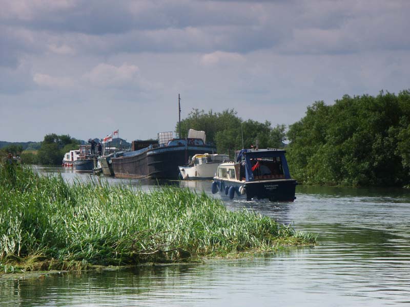
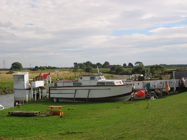
Wilfholme Landing
Wilfholme Landing is located on the Driffield Navigation in the East Riding of Yorkshire, England. The navigation is still tidal at this point, and is...

Wilfholme
Wilfholme is a hamlet in the East Riding of Yorkshire, England. It forms part of the civil parish of Beswick, and is situated just east from the A164 road...
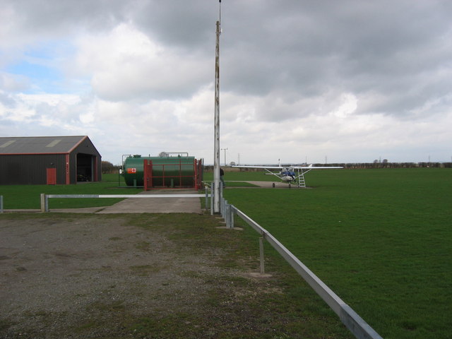
Beverley/Linley Hill Airfield
Beverley/Linley Hill Airfield (ICAO: EGNY) is an unlicensed aerodrome located 4 nautical miles (7.4 km; 4.6 mi) north-east of Beverley, East Riding of...

Arram
Arram is a small (population 200) farming village in the East Riding of Yorkshire, England. It is situated approximately 3 miles (5 km) north of the market...
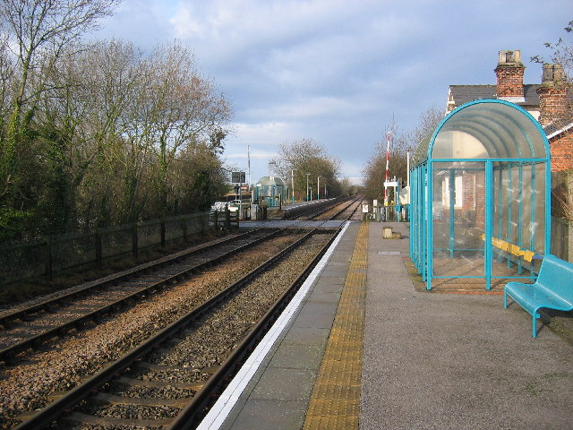
Lockington railway station
Lockington railway station was a minor station serving the village of Lockington, East Riding of Yorkshire, England. It was on the Hull to Scarborough...
Arram railway station
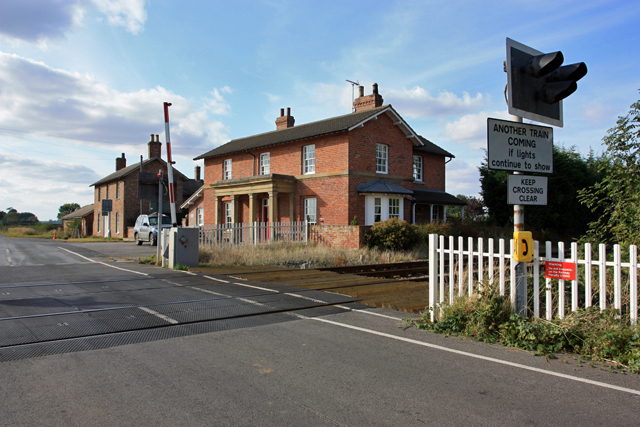
Arram railway station serves the small village of Arram in the East Riding of Yorkshire, England. It is located on the Yorkshire Coast Line and is operated...
Lockington rail crash
In Lockington, England on 26 July 1986, the 09:33 passenger train from Bridlington to Kingston upon Hull on the Hull to Scarborough Line struck a passenger...
Nearby Amenities
Located within 500m of 53.90268,-0.39871076Have you been to Aike Plantation?
Leave your review of Aike Plantation below (or comments, questions and feedback).