Holdhurst Copse

Wood, Forest in Surrey Waverley

England

Holdhurst Copse

Cranleigh Bowling Club: late August 2021 That great bowls exponent Francis Drake is joined this month on the great green in the sky by: August 15th, my first footballing hero, Gerd Muller; August 20th, Peter Corby, inventor of the legendary Trouser Press; 21st, Don Everly, one half of the famous brothers; 24th, Charlie Watts, the most sensible Rolling Stone; and on the 29th Reggae’s Lee "Scratch" Perry
Cranleigh Bowling Club: late August 2021 Credit: Basher Eyre

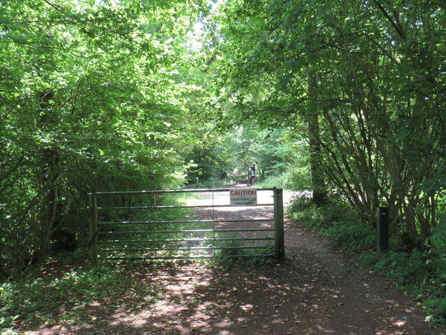
Holdhurst Copse is a picturesque woodland located in Surrey, England. Covering an area of approximately 100 acres, it is a part of the larger Surrey Hills Area of Outstanding Natural Beauty. The copse is situated near the village of Shere, renowned for its historic charm and stunning landscapes.

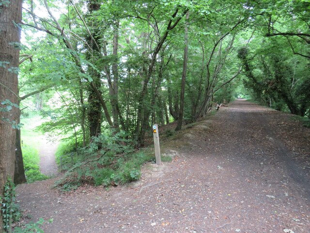
The woodland is characterized by its dense canopy of various tree species, including oak, beech, and birch. These towering trees provide a haven for a diverse range of wildlife, making Holdhurst Copse an important habitat for many species. Visitors to the copse can often spot a variety of birds, such as woodpeckers, owls, and various songbirds, as well as small mammals like squirrels and foxes.

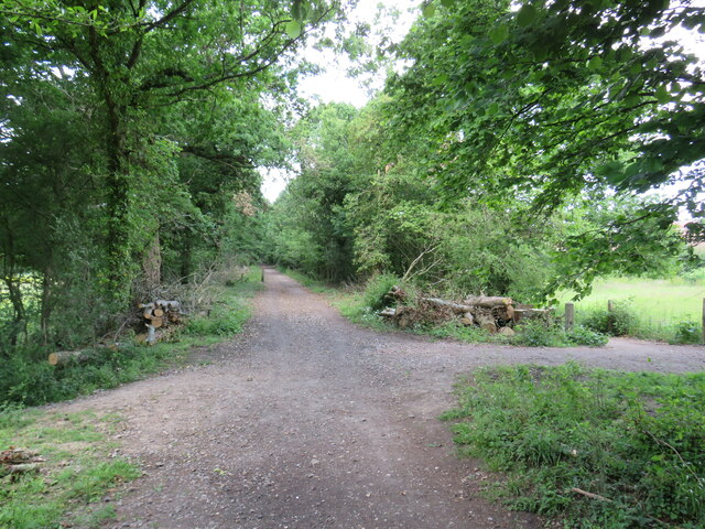
The forest floor is carpeted with a rich layer of mosses, ferns, and wildflowers, creating a vibrant and enchanting atmosphere. Many visitors are drawn to the copse during springtime when the woodland comes alive with a burst of colorful bluebells and primroses.

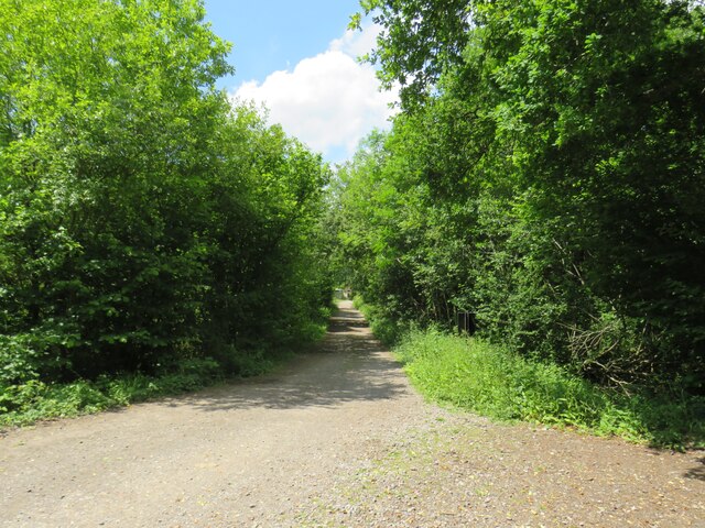
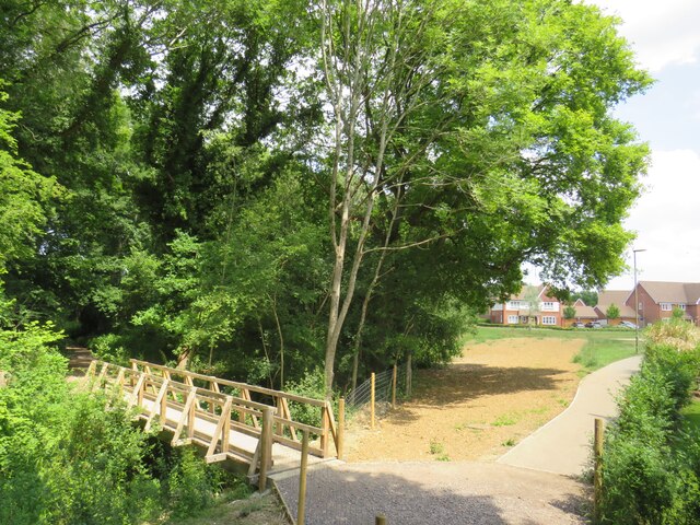
Holdhurst Copse offers numerous walking trails, allowing visitors to explore its exquisite beauty at their own pace. The peaceful ambiance and stunning natural surroundings make it an ideal destination for nature enthusiasts, hikers, and families seeking a tranquil escape from the bustling city life.

Managed by the Surrey Wildlife Trust, Holdhurst Copse is an important conservation site, where efforts are made to protect and preserve the natural ecosystem. It serves as a valuable educational resource, offering guided tours and workshops to increase awareness about the importance of wildlife conservation and sustainable land management.

If you have any feedback on the listing, please let us know in the comments section below.

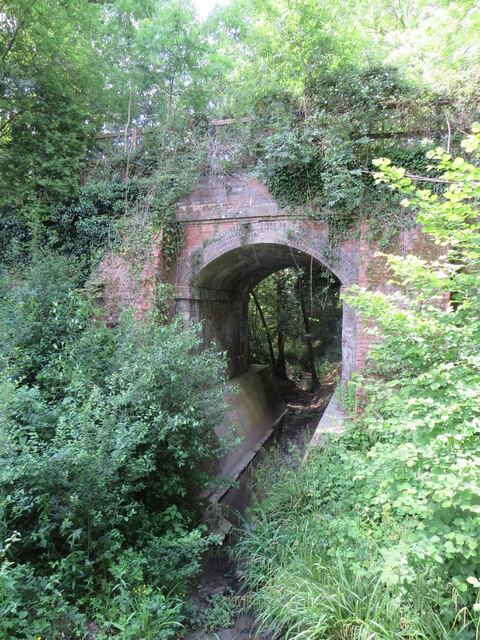
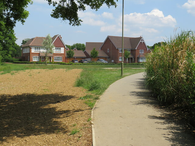
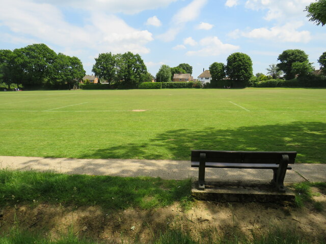
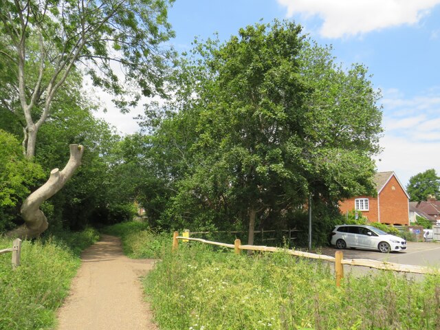
Holdhurst Copse Images

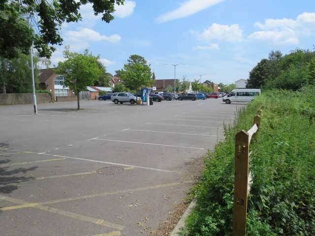
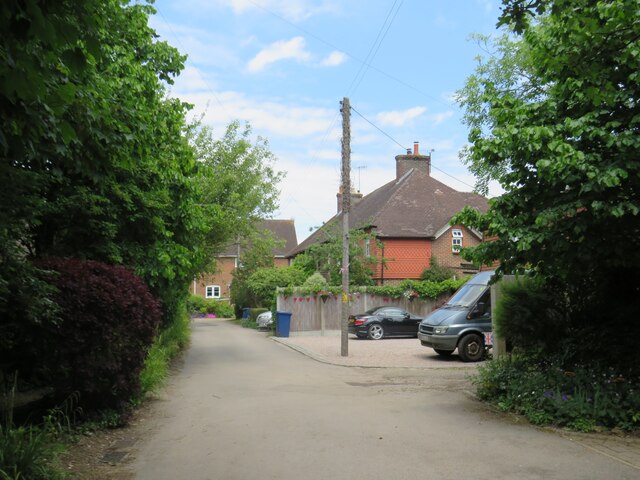
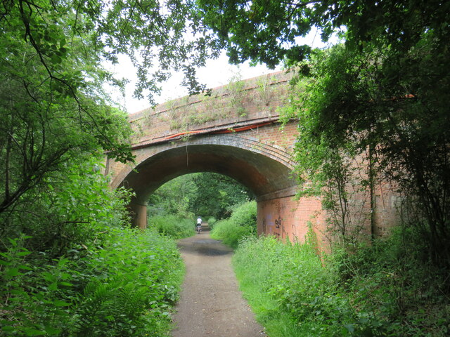
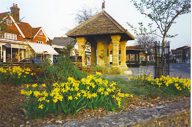
Images are sourced within 2km of 51.128536/-0.49971901 or Grid Reference TQ0537. Thanks to Geograph Open Source API. All images are credited.

Cranleigh Bowling Club: late August 2021 That great bowls exponent Francis Drake is joined this month on the great green in the sky by: August 15th, my first footballing hero, Gerd Muller; August 20th, Peter Corby, inventor of the legendary Trouser Press; 21st, Don Everly, one half of the famous brothers; 24th, Charlie Watts, the most sensible Rolling Stone; and on the 29th Reggae’s Lee "Scratch" Perry
Cranleigh Bowling Club: late August 2021
That great bowls exponent Francis Drake is joined this month on the great green in the sky by: August 15th, my first footballing hero, Gerd Muller; August 20th, Peter Corby, inventor of the legendary Trouser Press; 21st, Don Everly, one half of the famous brothers; 24th, Charlie Watts, the most sensible Rolling Stone; and on the 29th Reggae’s Lee "Scratch" Perry
Cranleigh Sports & Social Club: late August 2021 The news here in Cranleigh is that sport is back. Elsewhere: August 4th 2020 Belarusian sprinter Krystsina Tsimanouskaya is given political asylum in Poland after claims her Olympic Committee wanted to repatriate her against her will; August 9th, the Intergovernmental Panel on Climate Change releases the first part of its Sixth Assessment Report, which concludes that the effects of human-caused climate change are now "widespread, rapid, and intensifying";  14th, a 7.2-magnitude earthquake strikes Haiti, killing more than 2,100 people; 15th to 30th, 2021 the Taliban capture Kabul and the Afghan government surrenders;  30 the USA withdraws its last remaining troops ending 20 years of operations in Afghanistan; August 31st, Dame Sarah Storey equals the all time Paralympic medal haul!
Cranleigh Sports & Social Club: late August 2021
The news here in Cranleigh is that sport is back. Elsewhere: August 4th 2020 Belarusian sprinter Krystsina Tsimanouskaya is given political asylum in Poland after claims her Olympic Committee wanted to repatriate her against her will; August 9th, the Intergovernmental Panel on Climate Change releases the first part of its Sixth Assessment Report, which concludes that the effects of human-caused climate change are now "widespread, rapid, and intensifying"; 14th, a 7.2-magnitude earthquake strikes Haiti, killing more than 2,100 people; 15th to 30th, 2021 the Taliban capture Kabul and the Afghan government surrenders; 30 the USA withdraws its last remaining troops ending 20 years of operations in Afghanistan; August 31st, Dame Sarah Storey equals the all time Paralympic medal haul!
Another dull August day in 2021 Elsewhere, there were record temperatures but here in the UK it was pretty mild. That night Meridian Weather announced the monthly average temperature was 20.6, rainfall 51.6mm, cloud cover 67% and hours of sunshine 136.7. The Met Office summaries for August 2021 and Summer 2021 can be found here <span class="nowrap"><a title="https://www.metoffice.gov.uk/binaries/content/assets/metofficegovuk/pdf/weather/learn-about/uk-past-events/summaries/uk_monthly_climate_summary_202108.pdf" rel="nofollow ugc noopener" href="https://www.metoffice.gov.uk/binaries/content/assets/metofficegovuk/pdf/weather/learn-about/uk-past-events/summaries/uk_monthly_climate_summary_202108.pdf">Link</a><img style="margin-left:2px;" alt="External link" title="External link - shift click to open in new window" src="https://s1.geograph.org.uk/img/external.png" width="10" height="10"/></span> and here <span class="nowrap"><a title="https://www.metoffice.gov.uk/binaries/content/assets/metofficegovuk/pdf/weather/learn-about/uk-past-events/summaries/uk_monthly_climate_summary_summer_2021.pdf" rel="nofollow ugc noopener" href="https://www.metoffice.gov.uk/binaries/content/assets/metofficegovuk/pdf/weather/learn-about/uk-past-events/summaries/uk_monthly_climate_summary_summer_2021.pdf">Link</a><img style="margin-left:2px;" alt="External link" title="External link - shift click to open in new window" src="https://s1.geograph.org.uk/img/external.png" width="10" height="10"/></span>
Another dull August day in 2021
Elsewhere, there were record temperatures but here in the UK it was pretty mild. That night Meridian Weather announced the monthly average temperature was 20.6, rainfall 51.6mm, cloud cover 67% and hours of sunshine 136.7. The Met Office summaries for August 2021 and Summer 2021 can be found here LinkExternal link and here LinkExternal link
Farm track near Cranleigh A track leading to a farm in the Surrey countryside near Cranleigh.
Farm track near Cranleigh
A track leading to a farm in the Surrey countryside near Cranleigh.
Downs Link near Cranleigh The Downs Link path follows a dismantled railway line for most of its length.  It also forms part of route 223 of the National Cycle Network.
Downs Link near Cranleigh
The Downs Link path follows a dismantled railway line for most of its length. It also forms part of route 223 of the National Cycle Network.
Downs Link near Cranleigh The Downs Link path follows a dismantled railway line for most of its length.  It also forms part of route 223 of the National Cycle Network.  Here, the former railway line ran along an embankment.  A footpath descends to the left.
Downs Link near Cranleigh
The Downs Link path follows a dismantled railway line for most of its length. It also forms part of route 223 of the National Cycle Network. Here, the former railway line ran along an embankment. A footpath descends to the left.
Downs Link near Cranleigh The Downs Link path follows a dismantled railway line for most of its length.  It also forms part of route 223 of the National Cycle Network.
Downs Link near Cranleigh
The Downs Link path follows a dismantled railway line for most of its length. It also forms part of route 223 of the National Cycle Network.
Path to Dapples Lane, Cranleigh A path leading into a new housing development in Cranleigh, in Surrey.  The wooden bridge to the left takes another path across a stream.
Path to Dapples Lane, Cranleigh
A path leading into a new housing development in Cranleigh, in Surrey. The wooden bridge to the left takes another path across a stream.
Bridge over a stream, Cranleigh The bridge was built to carry a railway line across a stream on the outskirts of Cranleigh.  The railway closed in 1965 and was dismantled, but the Downs Link path now follows the railway alignment, crossing the bridge.  Downs Link also forms part of route 223 of the National Cycle Network.
Bridge over a stream, Cranleigh
The bridge was built to carry a railway line across a stream on the outskirts of Cranleigh. The railway closed in 1965 and was dismantled, but the Downs Link path now follows the railway alignment, crossing the bridge. Downs Link also forms part of route 223 of the National Cycle Network.
Footpath to Dapples Lane, Cranleigh A path leading into a new housing development on the outskirts of Cranleigh, in Surrey.
Footpath to Dapples Lane, Cranleigh
A path leading into a new housing development on the outskirts of Cranleigh, in Surrey.
Recreation ground in Cranleigh A bench seat looking out across a recreation ground in Cranleigh, in Surrey.
Recreation ground in Cranleigh
A bench seat looking out across a recreation ground in Cranleigh, in Surrey.
Downs Link, Cranleigh The Downs Link path follows a dismantled railway line for most of its length.  It also forms part of route 223 of the National Cycle Network.

In this view, the path is passing through the town of Cranleigh.  The building to the right is a sports pavilion.
Downs Link, Cranleigh
The Downs Link path follows a dismantled railway line for most of its length. It also forms part of route 223 of the National Cycle Network. In this view, the path is passing through the town of Cranleigh. The building to the right is a sports pavilion.
Downs Link, Cranleigh The Downs Link path follows a dismantled railway line for most of its length.  It also forms part of route 223 of the National Cycle Network.

Here in Cranleigh a very short section of the route is also an access road to a car park.
Downs Link, Cranleigh
The Downs Link path follows a dismantled railway line for most of its length. It also forms part of route 223 of the National Cycle Network. Here in Cranleigh a very short section of the route is also an access road to a car park.
Downs Link, Cranleigh The Downs Link path follows a dismantled railway line for most of its length.  It also forms part of route 223 of the National Cycle Network.
Downs Link, Cranleigh
The Downs Link path follows a dismantled railway line for most of its length. It also forms part of route 223 of the National Cycle Network.
Downs Link, Cranleigh The Downs Link path follows a dismantled railway line for most of its length.  It also forms part of route 223 of the National Cycle Network.

Here in Cranleigh, a supermarket and car park occupy the site of the town's railway station.  The path skirts the site then rejoins the former railway alignment.
Downs Link, Cranleigh
The Downs Link path follows a dismantled railway line for most of its length. It also forms part of route 223 of the National Cycle Network. Here in Cranleigh, a supermarket and car park occupy the site of the town's railway station. The path skirts the site then rejoins the former railway alignment.
Supermarket car park, Cranleigh A supermarket car park now occupies the site of Cranleigh station's goods yard.  The station and the railway line which passed through it closed in 1965.
Supermarket car park, Cranleigh
A supermarket car park now occupies the site of Cranleigh station's goods yard. The station and the railway line which passed through it closed in 1965.
The Common, Cranleigh Houses along a lane on Cranleigh Common.
The Common, Cranleigh
Houses along a lane on Cranleigh Common.
Downs Link, near Cranleigh The Downs Link path follows a dismantled railway line for most of its length.  It also forms part of route 223 of the National Cycle Network.

Here, a bridge carries a 'B' road over the former railway line.
Downs Link, near Cranleigh
The Downs Link path follows a dismantled railway line for most of its length. It also forms part of route 223 of the National Cycle Network. Here, a bridge carries a 'B' road over the former railway line.
Show me another place!

Holdhurst Copse is located at Grid Ref: TQ0537 (Lat: 51.128536, Lng: -0.49971901)

Administrative County: Surrey

District: Waverley

Police Authority: Surrey

What 3 Words

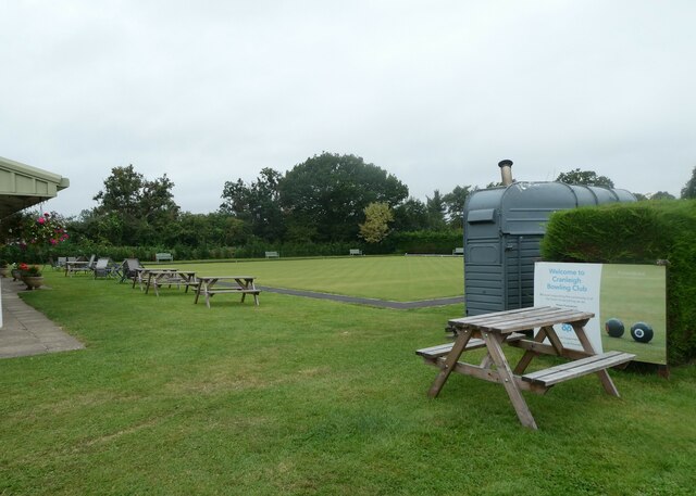
///lofts.garlic.bluntly. Near Cranleigh, Surrey

Related Wikis

Cranleigh railway station

Cranleigh was a railway station on the Cranleigh Line between Guildford and Horsham. It served the village of Cranleigh, Surrey in southern England....

Cranleigh

Cranleigh is a village and civil parish, about 8 miles (13 km) southeast of Guildford in Surrey, England. It lies on a minor road east of the A281, which...

Glebelands School

Glebelands School is a county-funded and charity-supported secondary school in Cranleigh, Surrey, England. It is co-educational and takes students aged...

London to Portsmouth canal

The London to Portsmouth canal was a concept for the construction of a secure inland canal route from the British capital of London to the headquarters...

Wey and Arun Canal

The Wey and Arun Canal is a partially open, 23-mile-long (37 km) canal in the southeast of England. It runs southwards from the River Wey at Gunsmouth...

Cranleigh School

Cranleigh School is a public school (English fee-charging boarding and day school) in the village of Cranleigh, Surrey. == History == It was opened on...

Alfold F.C.

Alfold Football Club is a football club based in Alfold, Surrey, England. They are currently members of the Southern Combination Division One and play...

Dunsfold Aerodrome

Dunsfold Aerodrome (former ICAO code EGTD) is an unlicensed airfield in Surrey, England, near the village of Cranleigh. It extends across land in the villages...

Nearby Amenities

Located within 500m of 51.128536,-0.49971901
Hoodhurst Farm
Landuse: farm
Note Retag: CS #48756035
Source: npe
Lat/Long: 51.1274405/-0.5015494
Barrier: yes
Lat/Long: 51.1266704/-0.5022174
Barrier: yes
Lat/Long: 51.1270214/-0.5021796
The data included in this document is from www.openstreetmap.org. The data is made available under ODbL.

Have you been to Holdhurst Copse?

Leave your review of Holdhurst Copse below (or comments, questions and feedback).