Holdingham Plantation
Wood, Forest in Lincolnshire North Kesteven
England
Holdingham Plantation
Holdingham Plantation, located in Lincolnshire, England, is a serene and picturesque woodland area known for its rich history and natural beauty. The plantation is situated in the village of Holdingham, near the town of Sleaford.
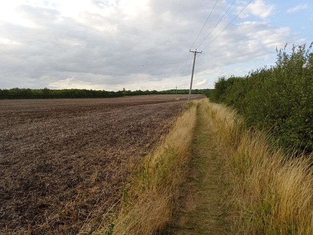
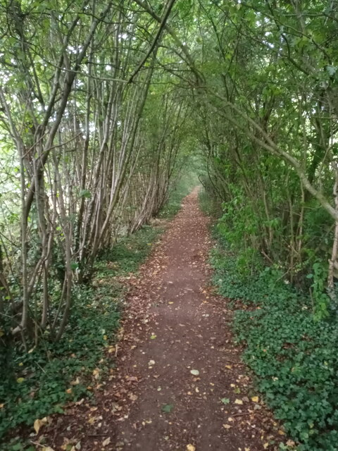
Covering an area of approximately 500 acres, Holdingham Plantation is predominantly composed of mixed deciduous trees, including oak, birch, and beech. These majestic trees create a dense canopy, providing shelter for an array of wildlife. The woodland floor is adorned with a variety of wildflowers and ferns, adding to the enchanting atmosphere.
The plantation has a fascinating past, dating back to the 18th century when it was initially established as a hunting ground for the local gentry. Over the years, it has evolved into a thriving ecosystem, offering a haven for numerous bird species, such as woodpeckers, owls, and thrushes. Visitors can often spot squirrels, rabbits, and other small mammals scurrying about.
Holdingham Plantation is a popular destination for nature enthusiasts, walkers, and birdwatchers. The well-maintained network of walking trails allows visitors to explore the plantation's beauty at their leisure. It offers a peaceful retreat away from the hustle and bustle of everyday life, providing the perfect opportunity for relaxation and reconnecting with nature.
The plantation is open to the public throughout the year, and admission is free. However, visitors are encouraged to adhere to the guidelines to ensure the protection of the flora and fauna within the woodland. Holdingham Plantation truly offers a delightful escape into the tranquility of nature, making it a must-visit destination in Lincolnshire.
If you have any feedback on the listing, please let us know in the comments section below.
Holdingham Plantation Images
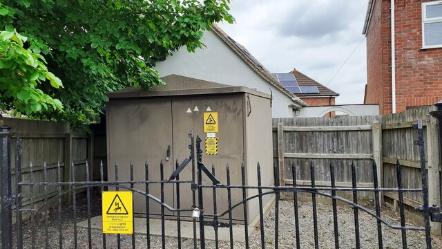
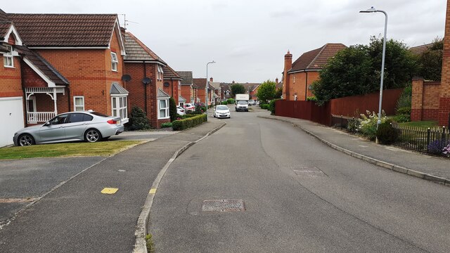
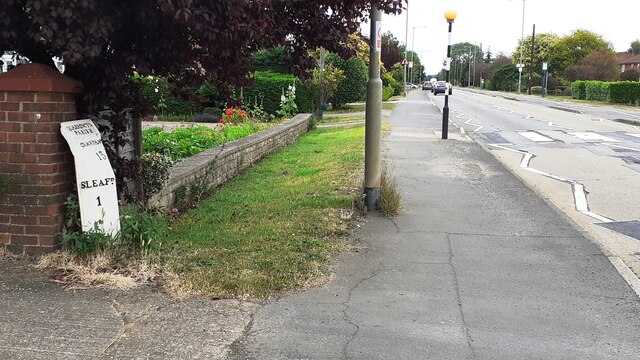
Images are sourced within 2km of 53.008377/-0.43579231 or Grid Reference TF0546. Thanks to Geograph Open Source API. All images are credited.


Holdingham Plantation is located at Grid Ref: TF0546 (Lat: 53.008377, Lng: -0.43579231)
Administrative County: Lincolnshire
District: North Kesteven
Police Authority: Lincolnshire
What 3 Words
///canoe.spires.cheerily. Near Sleaford, Lincolnshire
Nearby Locations
Related Wikis
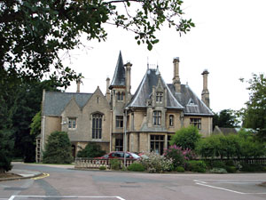
Westholme House
Westholme House is a historic building in the English market town of Sleaford in Lincolnshire, set in 32 acres of parkland and school grounds. Built around...

St George's Academy
St George's Academy is a co-educational comprehensive secondary school based in the English market town of Sleaford in Lincolnshire, with a satellite school...
Carre's Grammar School
Carre's Grammar School is a selective secondary school for boys in Sleaford, a market town in Lincolnshire, England. Founded on 1 September 1604 by an...
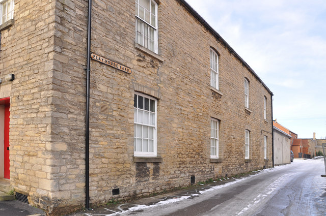
Playhouse, Sleaford
The Playhouse is a theatre in Sleaford, Lincolnshire, England. It is a Grade II listed Georgian building dating from 1820. The building became a school...

Sleaford Castle
Sleaford Castle is a medieval castle in Sleaford, Lincolnshire, England. Built by the Bishop of Lincoln in the early 1120s, it was habitable as late as...

Manor House, Sleaford
The Manor House is a set of connected buildings located on Northgate in the English town of Sleaford, Lincolnshire. A complex arrangement, parts of the...

Sessions House, Sleaford
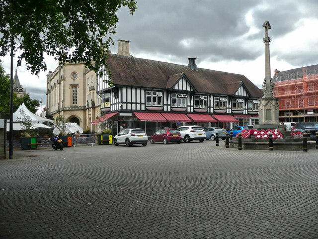
The Sessions House, also known as Sleaford Town Hall, is a judicial structure in the Market Place, Sleaford, Lincolnshire, England. The structure, which...

Leasingham
Leasingham is a village and civil parish in the North Kesteven district of Lincolnshire, England. It is situated less than 2 miles (3 km) north from Sleaford...
Nearby Amenities
Located within 500m of 53.008377,-0.43579231Have you been to Holdingham Plantation?
Leave your review of Holdingham Plantation below (or comments, questions and feedback).