Altcar Covert
Wood, Forest in Middlesex
England
Altcar Covert

Altcar Covert is a woodland area located in Middlesex, England. Situated within the larger region known as Wood, Forest, it covers an approximate area of X square kilometers. The covert is known for its rich biodiversity and natural beauty, making it a popular destination for nature enthusiasts and hikers.
The woodland is predominantly composed of a mix of deciduous and coniferous trees, creating a diverse and vibrant ecosystem. Species such as oak, beech, and pine can be found here, providing a habitat for a wide range of flora and fauna. The dense canopy of the trees creates a shaded and cool environment, particularly enjoyable during the summer months.
Altcar Covert is home to a variety of wildlife, including deer, foxes, badgers, and numerous bird species. Birdwatchers can spot common birds such as robins, blackbirds, and blue tits, as well as rarer species like woodpeckers and owls. The woodland also supports a diverse range of insects and small mammals.
Visitors to Altcar Covert can explore its numerous walking trails and footpaths, which wind through the woodland and offer stunning views of the surrounding landscape. The area is well-maintained, with clear signage and picnic areas for visitors to enjoy. It is also a popular spot for photography, with ample opportunities to capture the beauty of the woodland and its inhabitants.
Altcar Covert is a hidden gem in Middlesex, offering a tranquil and picturesque escape from the bustle of urban life. Its natural charm and diverse ecosystem make it a must-visit destination for nature lovers and those seeking a peaceful retreat in the heart of Wood, Forest.
If you have any feedback on the listing, please let us know in the comments section below.
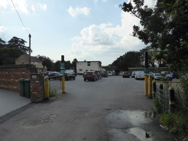
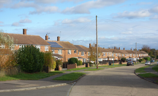
Altcar Covert Images
Images are sourced within 2km of 51.578418/-0.48733373 or Grid Reference TQ0487. Thanks to Geograph Open Source API. All images are credited.


Altcar Covert is located at Grid Ref: TQ0487 (Lat: 51.578418, Lng: -0.48733373)
Unitary Authority: Hillingdon
Police Authority: Metropolitan
What 3 Words
///unit.rigid.ships. Near Denham, Buckinghamshire
Nearby Locations
Related Wikis

Savay Farm
Savay Farm is a Grade I listed twelfth century farmhouse in Denham, Buckinghamshire, England.The house has a timber frame and red brick nogging.It was...
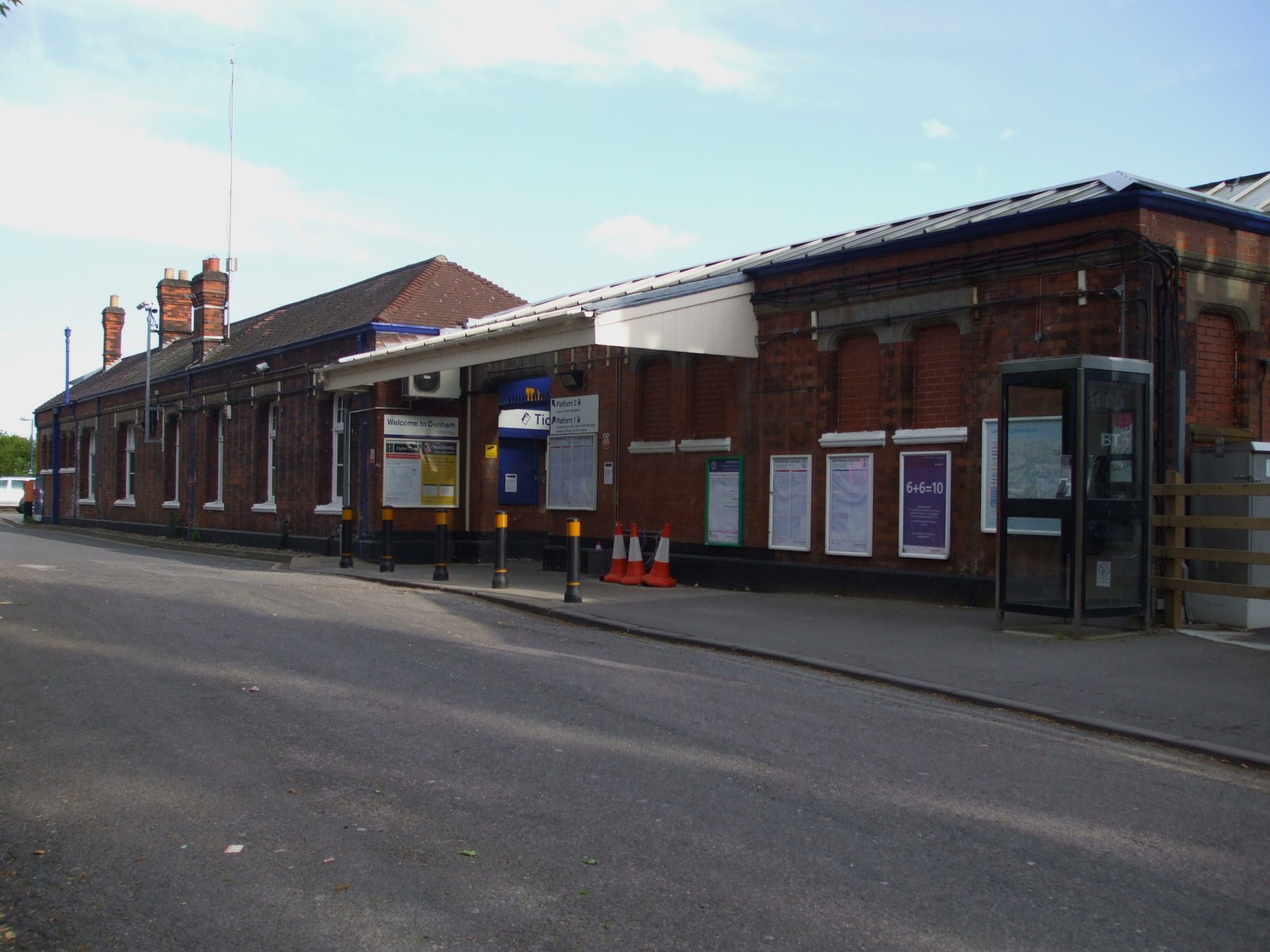
Denham railway station
Denham railway station is a railway station in the village of Denham in Buckinghamshire, England. It is on the Chiltern Main Line between West Ruislip...

Buckinghamshire Golf Club
Buckinghamshire Golf Club, containing the Denham Court Mansion, is a golf club near Denham, Buckinghamshire, England, United Kingdom.It is accessed via...
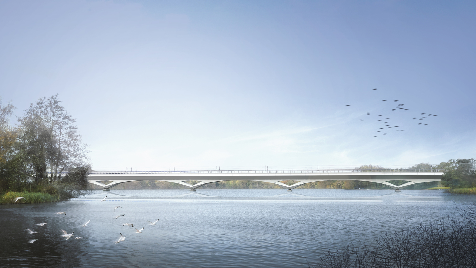
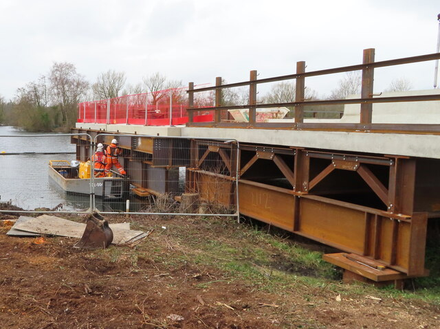
Colne Valley Viaduct
The Colne Valley Viaduct is a bridge, under construction as of 2023, which will carry the High Speed 2 railway over the Colne Valley Regional Park and...

Hills House, Denham
Hills House is a 17th-century residence located on the Village Road in Denham, Buckinghamshire, England. In the late 1930s and early 1940s, it was the...
Denham Film Studios
Denham Film Studios was a British film production studio operating from 1936 to 1952, founded by Alexander Korda, in Buckinghamshire. Notable films made...
Denham Place, Buckinghamshire
Denham Place is a Grade I listed 17th-century country house in Denham, Buckinghamshire, England, surrounded by a Grade II listed 18th-century landscape...

Dews Farm Sand Pits
Dews Farm Sand Pits is a 1.2-hectare (3.0-acre) nature reserve near Harefield in the London Borough of Hillingdon. It is managed by the London Wildlife...
Nearby Amenities
Located within 500m of 51.578418,-0.48733373Have you been to Altcar Covert?
Leave your review of Altcar Covert below (or comments, questions and feedback).