Dog Kennel Wood
Wood, Forest in Lincolnshire South Kesteven
England
Dog Kennel Wood

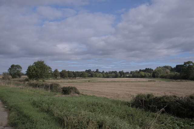
Dog Kennel Wood is a pristine forest located in the picturesque county of Lincolnshire, England. Spanning over a vast area, it is a haven for nature enthusiasts and dog owners alike. The wood is situated in close proximity to the village of Wood, offering easy access to visitors from the surrounding areas.
As the name suggests, Dog Kennel Wood is known for its dog-friendly environment. It provides an ideal setting for dog owners to take their furry companions for walks and hikes. The well-maintained trails wind through the dense woodland, offering stunning views of the surrounding landscape. The wood is abundant in diverse flora and fauna, providing a rich and vibrant ecosystem.
Visitors can expect to witness a variety of tree species, including oak, beech, and birch, which dominate the woodland. The forest floor is carpeted with a myriad of wildflowers, creating a visually captivating experience. As visitors explore the wood, they may encounter various wildlife species such as squirrels, deer, and a plethora of bird species.
To ensure the safety and comfort of both dogs and visitors, Dog Kennel Wood is equipped with facilities such as waste disposal bins and well-marked trails. The wood also offers ample parking space for visitors arriving by car.
Whether one is seeking a tranquil stroll amidst nature or an adventurous hike with their four-legged friend, Dog Kennel Wood in Lincolnshire is an ideal destination. It offers a serene and pet-friendly environment, allowing visitors to escape the hustle and bustle of everyday life and immerse themselves in the beauty of the natural world.
If you have any feedback on the listing, please let us know in the comments section below.
Dog Kennel Wood Images
Images are sourced within 2km of 52.741889/-0.44886202 or Grid Reference TF0417. Thanks to Geograph Open Source API. All images are credited.


Dog Kennel Wood is located at Grid Ref: TF0417 (Lat: 52.741889, Lng: -0.44886202)
Administrative County: Lincolnshire
District: South Kesteven
Police Authority: Lincolnshire
What 3 Words
///scooters.trailers.tripods. Near Essendine, Rutland
Nearby Locations
Related Wikis
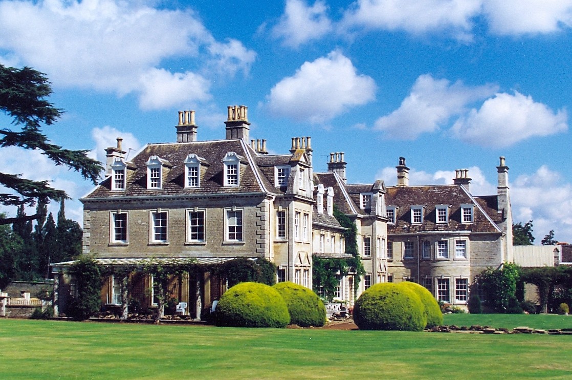
Witham Hall
Witham Hall is an independent boarding and day school situated in Witham on the Hill, Lincolnshire, England. == The hall == The house is described by Sir...

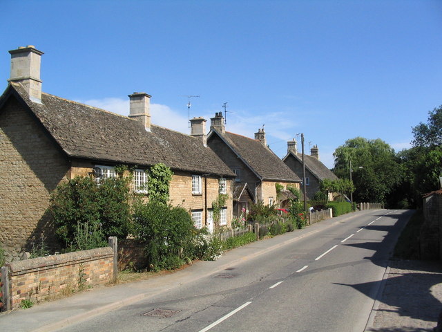
Witham on the Hill
Witham on the Hill is a village and civil parish in the South Kesteven district of Lincolnshire, England. The population of the civil parish was 260 at...

Bourne Rural District
Bourne was a rural district in Lincolnshire, Parts of Kesteven from 1894 to 1931. It was created by the Local Government Act 1894 based on the Bourne rural...

Toft, Lincolnshire
Toft is a small village in the South Kesteven district of Lincolnshire, England. It is situated approximately 2 miles (3 km) south-west from Bourne on...
Nearby Amenities
Located within 500m of 52.741889,-0.44886202Have you been to Dog Kennel Wood?
Leave your review of Dog Kennel Wood below (or comments, questions and feedback).