Rompin Downs

Wood, Forest in Surrey Guildford

England

Rompin Downs

Stroud Lane, near Shamley Green Stroud Lane is a minor lane near the village of Shamley Green in Surrey.  The signs indicate that the road has a width restriction of 6 feet, 6 inches.
Stroud Lane, near Shamley Green Credit: Malc McDonald

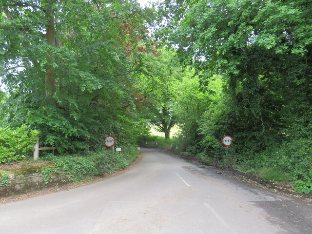
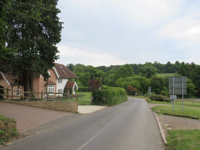
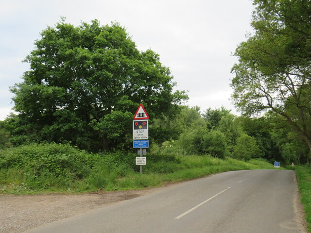
Rompin Downs, Surrey is a picturesque woodland area located in the southeastern part of England. It is situated in the county of Surrey, known for its natural beauty and rich history. Rompin Downs is specifically located near the village of Wood, surrounded by lush greenery and thriving wildlife.

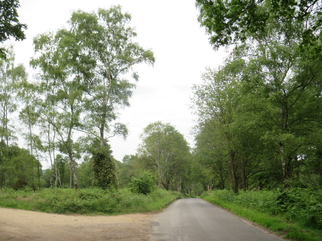
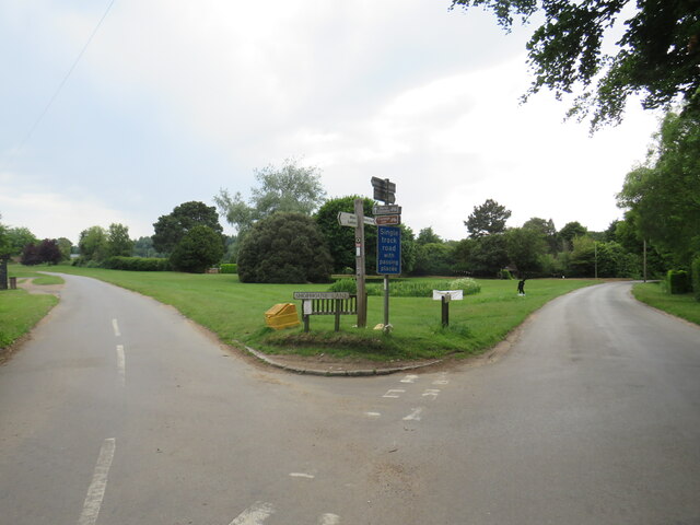
The area is a haven for nature enthusiasts and hikers, offering a variety of walking trails that wind through the dense forest. The woodland is primarily composed of a mixture of broadleaf and coniferous trees, creating a diverse ecosystem that supports a wide range of plant and animal species.

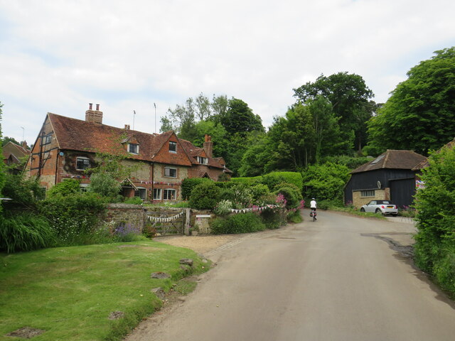
Rompin Downs is known for its serene atmosphere and tranquil beauty. The dense foliage provides a sense of seclusion and offers visitors a chance to escape the hustle and bustle of everyday life. It is a popular destination for families, couples, and individuals seeking a peaceful retreat in nature.

In addition to its natural beauty, Rompin Downs also boasts historical significance. The area is home to several ancient monuments and archaeological sites, including remnants of a Roman settlement. These historical features add depth and character to the already captivating landscape.

Overall, Rompin Downs, Surrey is a hidden gem in the English countryside. Its woodland charm and natural allure make it a must-visit destination for those seeking a peaceful and immersive experience in nature.

If you have any feedback on the listing, please let us know in the comments section below.

Rompin Downs Images

Images are sourced within 2km of 51.196738/-0.50195612 or Grid Reference TQ0445. Thanks to Geograph Open Source API. All images are credited.

Stroud Lane, near Shamley Green Stroud Lane is a minor lane near the village of Shamley Green in Surrey.  The signs indicate that the road has a width restriction of 6 feet, 6 inches.
Stroud Lane, near Shamley Green
Stroud Lane is a minor lane near the village of Shamley Green in Surrey. The signs indicate that the road has a width restriction of 6 feet, 6 inches.
Farley Heath Road, Woodhill, near Shamley Green Farley Heath Road passing through the hamlet of Woodhill in Surrey.  This road is on route 22 of the National Cycle Network.
Farley Heath Road, Woodhill, near Shamley Green
Farley Heath Road passing through the hamlet of Woodhill in Surrey. This road is on route 22 of the National Cycle Network.
Rhododendrons by the roadside, Farley Heath, near Guildford Rhododendrons in bloom alongside Farley Heath Road in Surrey.  This road forms part of route 22 of the National Cycle Network.
Rhododendrons by the roadside, Farley Heath, near Guildford
Rhododendrons in bloom alongside Farley Heath Road in Surrey. This road forms part of route 22 of the National Cycle Network.
Farley Heath Road, near Farley Green Farley Heath Road is a minor road passing through Surrey countryside.  It is on route 22 of the National Cycle Network
Farley Heath Road, near Farley Green
Farley Heath Road is a minor road passing through Surrey countryside. It is on route 22 of the National Cycle Network
August Lane, Farley Green August Lane entering the small hamlet of Farley Green in Surrey.  This road is on route 22 of the National Cycle Network.
August Lane, Farley Green
August Lane entering the small hamlet of Farley Green in Surrey. This road is on route 22 of the National Cycle Network.
Road junction at Farley Green A road junction in the Surrey hamlet of Farley Green.  The road to the right is on route 22 of the National Cycle Network.
Road junction at Farley Green
A road junction in the Surrey hamlet of Farley Green. The road to the right is on route 22 of the National Cycle Network.
Caravan park entrance, Farley Green, near Guildford The entrance to Edgeley caravan park in the Surrey countryside.
Caravan park entrance, Farley Green, near Guildford
The entrance to Edgeley caravan park in the Surrey countryside.
New Road, Brook, near Guildford New Road passing through the hamlet of Brook, near Guildford.
New Road, Brook, near Guildford
New Road passing through the hamlet of Brook, near Guildford.
Level crossing at Brook, near Guildford A level crossing on the North Downs Line at Brook, near Guildford.  Train services on this railway line connect Reading and Guildford with Dorking, Redhill and Gatwick Airport
Level crossing at Brook, near Guildford
A level crossing on the North Downs Line at Brook, near Guildford. Train services on this railway line connect Reading and Guildford with Dorking, Redhill and Gatwick Airport
New Road, near Albury New Road in Surrey countryside, close to the village of Albury.  The road sign warns of a railway level crossing ahead.
New Road, near Albury
New Road in Surrey countryside, close to the village of Albury. The road sign warns of a railway level crossing ahead.
Albury Heath - Sports Pavilion The new red brick pavilion caters for cricketers, footballers and has a seasonal cafe for visitors.
<span class="nowrap"><a title="www.alburyhistory.org.uk" rel="nofollow ugc noopener" href="http://www.alburyhistory.org.uk">Link</a><img style="margin-left:2px;" alt="External link" title="External link - shift click to open in new window" src="https://s1.geograph.org.uk/img/external.png" width="10" height="10"/></span>
Albury Heath - Sports Pavilion
The new red brick pavilion caters for cricketers, footballers and has a seasonal cafe for visitors. LinkExternal link
Woodside, Albury Heath A suitably named house, a bit isolated apart from passing trains.
Woodside, Albury Heath
A suitably named house, a bit isolated apart from passing trains.
Kiln Rough, Albury This looks like fairly low quality grassland, which may explain the "Rough" in the name. Clay at the base of the chalk, plus timber for firing, may explain the "Kiln." 
Just a guess.
Kiln Rough, Albury
This looks like fairly low quality grassland, which may explain the "Rough" in the name. Clay at the base of the chalk, plus timber for firing, may explain the "Kiln." Just a guess.
Corner on Row Lane, Shamley Green
Field on the edge of Albury Heath
Kiln Rough
Kiln Rough
Grazing land near Kiln Rough
Isolated trees and grazing land
Show me another place!

Rompin Downs is located at Grid Ref: TQ0445 (Lat: 51.196738, Lng: -0.50195612)

Administrative County: Surrey

District: Guildford

Police Authority: Surrey

What 3 Words

///eggshell.call.sting. Near Chilworth, Surrey

Related Wikis

Surrey Hills AONB

The Surrey Hills is a 422 km2 (163 sq mi) Area of Outstanding Natural Beauty (AONB) in Surrey, England, which principally covers parts of the North Downs...

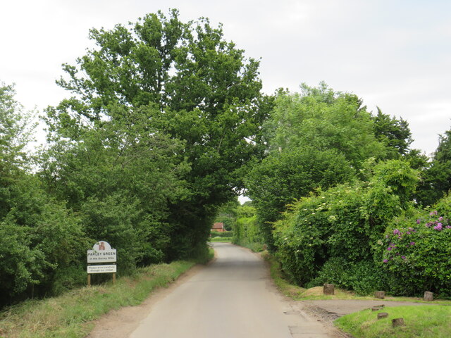
Farley Green, Surrey

Farley Green is a small hamlet of Albury in the Greensand Ridge where it forms the south of the Surrey Hills AONB, to the south east of Guildford. �...

Blackheath Common

Blackheath Common is an area of 250 acres (100 ha) of heathland in Surrey, England, near the village of Albury in the borough of Waverley. It is part of...

Blackheath SSSI, Surrey

Blackheath is a 141.6-hectare (350-acre) biological Site of Special Scientific Interest south-east of Guildford in Surrey.This area of dry lowland heath...

Hundred of Blackheath, Surrey

Blackheath Hundred or the Hundred of Blackheath was a hundred in the county of Surrey, England. It corresponds to parts of the districts of Waverley and...

St Augustine's Abbey, Chilworth

St Augustine's Abbey or Chilworth Abbey, formerly Chilworth Friary, is a Roman Catholic Benedictine abbey in Chilworth, Surrey. The building, which is...

Christ Church, Shamley Green

Christ Church is a Church of England parish church in Shamley Green, Surrey, England. It was constructed in 1863 as a chapel of ease and became a parish...

Cucknell's Wood

Cucknell's Wood is a 11-hectare (27-acre) nature reserve south-east of Shamley Green in Surrey. It is managed by the Surrey Wildlife Trust.Birds in this...

Nearby Amenities

Located within 500m of 51.196738,-0.50195612
Power: pole
Lat/Long: 51.1993978/-0.5002932
Power: pole
Lat/Long: 51.1991528/-0.5016161
Power: pole
Lat/Long: 51.2009881/-0.5025843
Power: pole
Lat/Long: 51.1997074/-0.4989768
Power: pole
Lat/Long: 51.1998503/-0.5019943
Power: pole
Lat/Long: 51.1999827/-0.4975547
Power: pole
Lat/Long: 51.1943702/-0.50747
Man Made: utility_pole
Lat/Long: 51.1989338/-0.5028074
Man Made: utility_pole
Lat/Long: 51.1981741/-0.5030542
Power: pole
Lat/Long: 51.1964025/-0.5048244
Power: pole
Lat/Long: 51.1958361/-0.5056049
Power: pole
Lat/Long: 51.1971488/-0.5038132
Power: pole
Lat/Long: 51.1976026/-0.5033465
Power: pole
Lat/Long: 51.1949453/-0.5069326
The data included in this document is from www.openstreetmap.org. The data is made available under ODbL.

Have you been to Rompin Downs?

Leave your review of Rompin Downs below (or comments, questions and feedback).