Claphampark Wood

Wood, Forest in Bedfordshire

England

Claphampark Wood

Houses on Clapham Road
Houses on Clapham Road Credit: JThomas

The requested URL returned error: 429 Too Many Requests

If you have any feedback on the listing, please let us know in the comments section below.

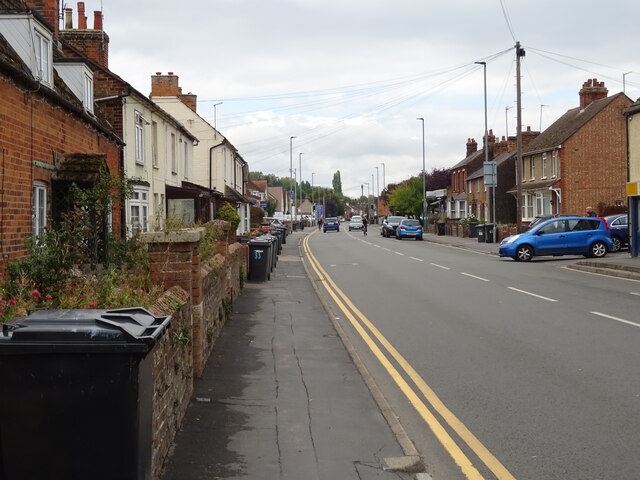
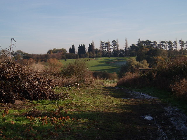
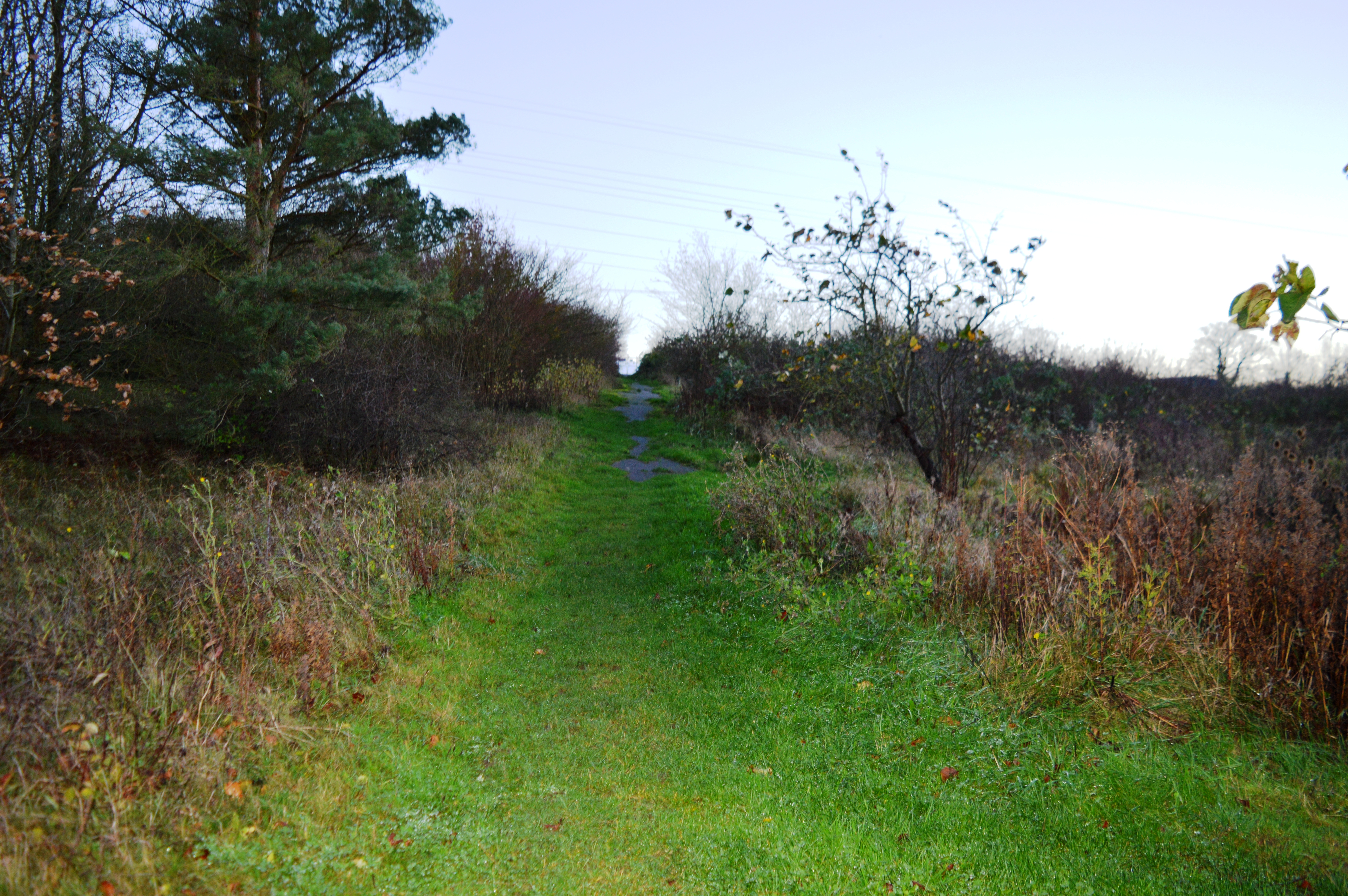
Claphampark Wood Images

Images are sourced within 2km of 52.166179/-0.4703052 or Grid Reference TL0453. Thanks to Geograph Open Source API. All images are credited.

Houses on Clapham Road
Entrance to Clapham Water Treatment Works off Clapham Road
Dual use path beside Clapham Road
Bedford / Clapham boundary stone dated 1934
Thatched cottage on Bedford Road
Houses on High Street
The Horse & Groom
The Horse & Groom
Sign for the Horse & Groom
High Street
High Street
Elizabeth II postbox on High Street Postbox No. MK41 115.
Elizabeth II postbox on High Street
Postbox No. MK41 115.
Post Office on High Street Showing position of Postbox No. MK41 115.
Post Office on High Street
Showing position of Postbox No. MK41 115.
Woodland Manor Hotel, Clapham Green, Bedford
Twinwood Airfield Twinwood Airfield is notable as being the airfield from which Glenn Miller set off on his last journey before being lost over the English Channel.
Twinwood Airfield
Twinwood Airfield is notable as being the airfield from which Glenn Miller set off on his last journey before being lost over the English Channel.
Clapham church View of the church in Clapham, from the road
Clapham church
View of the church in Clapham, from the road
Back of Clapham Looking over the back of Clapham, from Clapham Green
Back of Clapham
Looking over the back of Clapham, from Clapham Green
View of twin wood Looking towards one of the aerials on the airbase, view from the bridleway running along the south edge of the grid square, showing twin wood itself on the left
View of twin wood
Looking towards one of the aerials on the airbase, view from the bridleway running along the south edge of the grid square, showing twin wood itself on the left
Ploughed field, looking towards Clapham
Golf course Path down the side of Clapham's golf course
Golf course
Path down the side of Clapham's golf course
Show me another place!

Claphampark Wood is located at Grid Ref: TL0453 (Lat: 52.166179, Lng: -0.4703052)

Unitary Authority: Bedford

Police Authority: Bedfordshire

What 3 Words

///vanish.achieving.exile. Near Clapham, Bedfordshire

Nearby Locations

Claphampark Wood

Related Wikis

Bedford & County Golf Club

Bedford & County Golf Club is a golf club to the northeast of Clapham, Bedfordshire, England. It was established in 1912. As of 1995 the course measured...

St Thomas More Catholic School, Bedford

St Thomas More Catholic School is a mixed secondary school and sixth form located in Bedford in the English county of Bedfordshire. The school is located...

Park Wood, Bedford

Park Wood is a 5.2 hectare Local Nature Reserve located in the Brickhill area of Bedford. It is owned by Bedford Borough Council and managed by the council...

Brickhill

Brickhill is a civil parish and electoral ward within northern Bedford in Bedfordshire, England. The boundaries of Brickhill are approximately Kimbolton...

Nearby Amenities

Located within 500m of 52.166179,-0.4703052
Barrier: kissing_gate
Lat/Long: 52.1653055/-0.4677058
Kerb: no
Lat/Long: 52.1629974/-0.473871
Crossing
Crossing: unmarked
Crossing Island: no
Kerb: lowered
Tactile Paving: no
Lat/Long: 52.1653588/-0.464637
Barrier: kissing_gate
Lat/Long: 52.16252/-0.4739505
Barrier: kissing_gate
Lat/Long: 52.1645404/-0.4736476
Barrier: kissing_gate
Lat/Long: 52.1667995/-0.4679352
Material: wood
Power: pole
Lat/Long: 52.1673944/-0.4736648
Material: wood
Power: pole
Lat/Long: 52.1689725/-0.4751174
Material: wood
Power: pole
Lat/Long: 52.1664625/-0.4737326
Material: wood
Power: pole
Lat/Long: 52.1654078/-0.4738094
Material: wood
Power: pole
Lat/Long: 52.1644108/-0.4738934
Material: wood
Power: pole
Lat/Long: 52.1637321/-0.4739487
Material: wood
Power: pole
Lat/Long: 52.1630432/-0.4740004
Material: wood
Power: pole
Lat/Long: 52.1625539/-0.4740409
Barrier: kissing_gate
Lat/Long: 52.163044/-0.4738915
Barrier: kissing_gate
Lat/Long: 52.1654309/-0.4685295
The data included in this document is from www.openstreetmap.org. The data is made available under ODbL.

Have you been to Claphampark Wood?

Leave your review of Claphampark Wood below (or comments, questions and feedback).