Flitwick Moor

Wood, Forest in Bedfordshire

England

Flitwick Moor

Houses by Dunstable Road, Flitwick
Houses by Dunstable Road, Flitwick Credit: David Howard

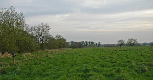
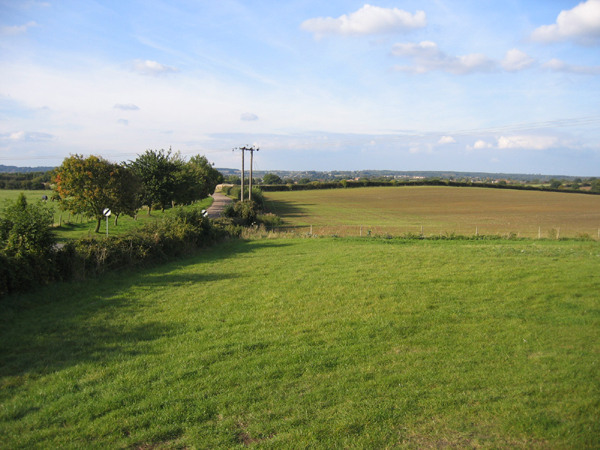
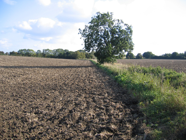
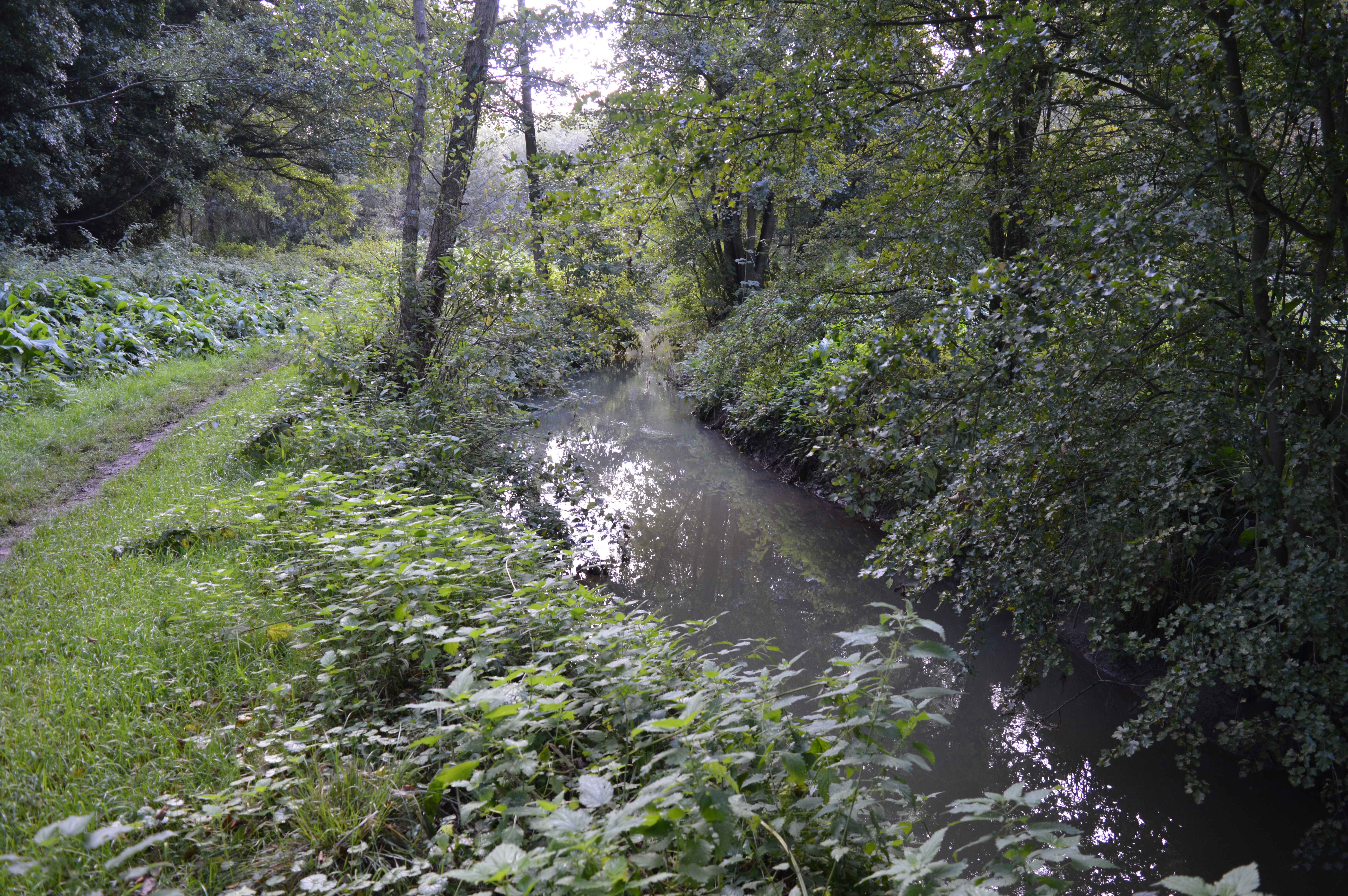
Flitwick Moor is a nature reserve located in Bedfordshire, England. Spanning approximately 75 hectares, it is a diverse woodland and wetland habitat that offers a haven for a wide variety of plant and animal species. The site is managed by The Wildlife Trust, which ensures its preservation and protection for future generations to enjoy.

The woodland at Flitwick Moor consists primarily of oak and ash trees, interspersed with areas of hazel and birch. This creates a rich and varied ecosystem, providing food and shelter for a range of bird species such as woodpeckers, tits, and warblers. The forest floor is carpeted with bluebells and other wildflowers during the spring, attracting butterflies and bees.

The wetland areas of Flitwick Moor are particularly important for wildlife conservation. The reserve features a number of ponds and marshes, which are home to a variety of aquatic plants and insects. Dragonflies and damselflies dart above the water, while frogs, toads, and newts thrive in the damp surroundings. The reserve also supports a diverse range of mammals, including badgers, foxes, and deer.

Flitwick Moor offers several walking trails and boardwalks, allowing visitors to explore the reserve and observe its natural wonders. Interpretive panels along the way provide information about the various species that can be found in the area. The reserve is a popular spot for nature enthusiasts, photographers, and families seeking a peaceful escape into the natural beauty of Bedfordshire.

If you have any feedback on the listing, please let us know in the comments section below.

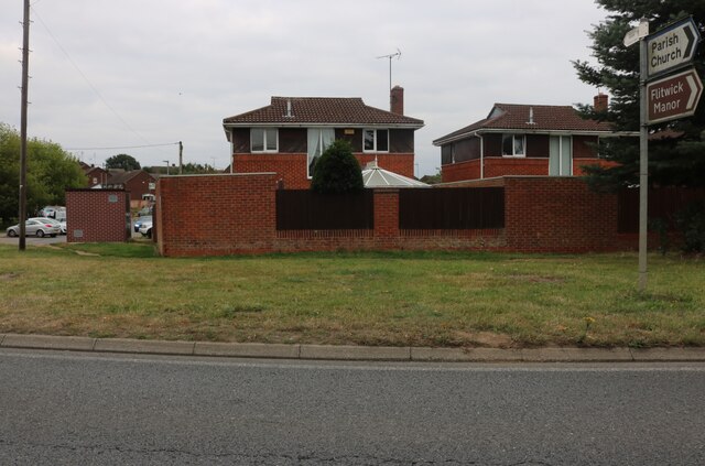
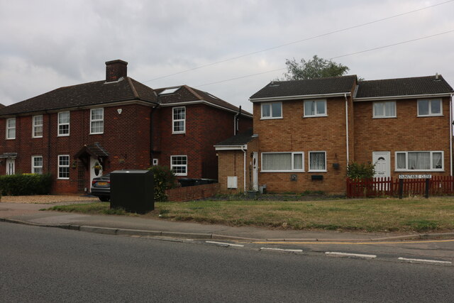
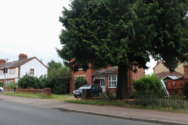
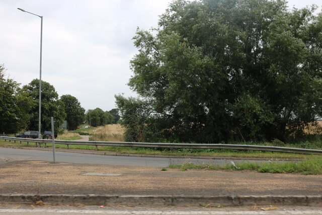
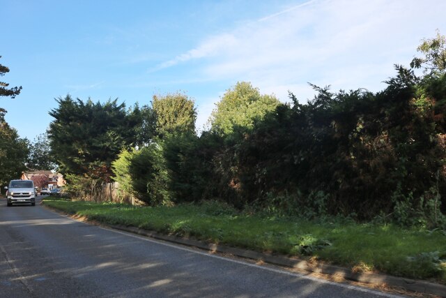
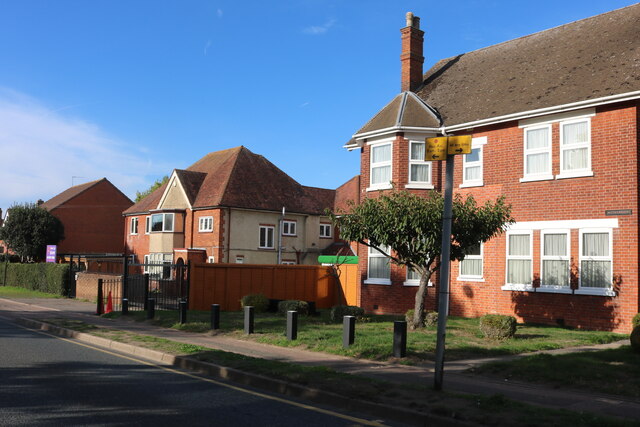
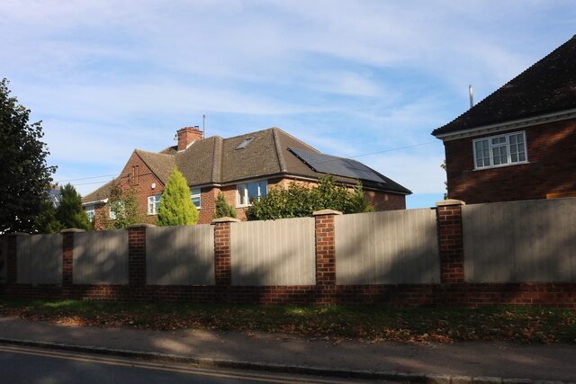
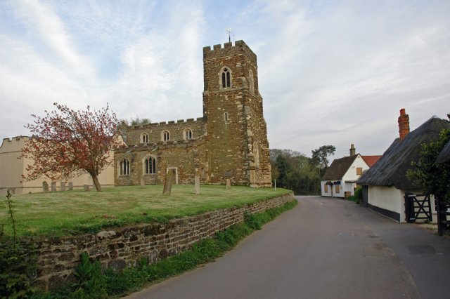
Flitwick Moor Images

Images are sourced within 2km of 52.006287/-0.4759084 or Grid Reference TL0435. Thanks to Geograph Open Source API. All images are credited.

Houses by Dunstable Road, Flitwick
Houses on Dunstable Road, Flitwick
Houses on Ampthill Road, Flitwick
The A507, Ampthill Looking towards Maulden Road
The A507, Ampthill
Looking towards Maulden Road
The De Grey Mausoleum, Flitton Mausoleum of the De Grey family, Flitton Church. Memorial to the 6th Earl of Kent.
The De Grey Mausoleum, Flitton
Mausoleum of the De Grey family, Flitton Church. Memorial to the 6th Earl of Kent.
The Compasses, Greenfield I assume this was a 'pub' but it is now a 'craft bar & restaurant.
The Compasses, Greenfield
I assume this was a 'pub' but it is now a 'craft bar & restaurant.
Dunstable Road, Flitwick
Steppingley Road, Flitwick Flitwick Day Nursery is on the left.
Steppingley Road, Flitwick
Flitwick Day Nursery is on the left.
Houses on Dunstable Road, Flitwick The fence panels have just been added, replacing railings.
Houses on Dunstable Road, Flitwick
The fence panels have just been added, replacing railings.
Platform 1, Flitwick Railway Station Standing at the Northern end of Platform 1 with a train passing Platform 2 heading North towards Bedford.
Platform 1, Flitwick Railway Station
Standing at the Northern end of Platform 1 with a train passing Platform 2 heading North towards Bedford.
Flitton Church and surrounds Flitton church has an attached mausoleum (visible on the left) for the de Grey family of Wrest Park, Silsoe.
Flitton Church and surrounds
Flitton church has an attached mausoleum (visible on the left) for the de Grey family of Wrest Park, Silsoe.
Flitton Nature Reserve Part of Flitton Nature Reserve, bordered to the right by the A507.
Flitton Nature Reserve
Part of Flitton Nature Reserve, bordered to the right by the A507.
Flitton Road, Pulloxhill, Beds View N towards Flitton.
Flitton Road, Pulloxhill, Beds
View N towards Flitton.
Farmland, Flitton, Beds View SE from Silsoe Road.
Farmland, Flitton, Beds
View SE from Silsoe Road.
Farmland SW of Pulloxhill, Beds View NW towards the Flit valley.
Farmland SW of Pulloxhill, Beds
View NW towards the Flit valley.
View N from Greenfield Road, Pulloxhill, Beds
Greenfield Road, Flitwick, Beds View NW towards Flitwick from Westoning Road, Greenfield.
Greenfield Road, Flitwick, Beds
View NW towards Flitwick from Westoning Road, Greenfield.
Joes Close, Greenfield, Beds The allotments off the High Street.
Joes Close, Greenfield, Beds
The allotments off the High Street.
Show me another place!

Flitwick Moor is located at Grid Ref: TL0435 (Lat: 52.006287, Lng: -0.4759084)

Unitary Authority: Central Bedfordshire

Police Authority: Bedfordshire

What 3 Words

///headless.polo.damp. Near Greenfield, Bedfordshire

Nearby Locations

Flitwick Moor

Related Wikis

Flitwick Moor

Flitwick Moor is a 59.8-hectare (148-acre) biological Site of Special Scientific Interest between Flitwick and Greenfield in Bedfordshire. It was notified...

Ruxox Cell

Ruxox Cell (sometimes spelled Rokesac) was a moated chapel, or monastic cell, established in the twelfth century in the parish of Flitwick in Bedfordshire...

Flitton and Greenfield

Flitton and Greenfield is a civil parish in Bedfordshire, England. It consists of Flitton and Greenfield. Flitton and Greenfield are two small hamlets...

Greenfield, Bedfordshire

Greenfield is a small village about 2 km (1.2 mi) from the town of Flitwick in Bedfordshire, England. It lies across Flitwick Moor from the larger settlement...

Nearby Amenities

Located within 500m of 52.006287,-0.4759084
Power: pole
Lat/Long: 52.0098167/-0.4801476
Power: pole
Lat/Long: 52.0089104/-0.4804668
Power: pole
Lat/Long: 52.008874/-0.480676
Power: pole
Lat/Long: 52.0078785/-0.4808503
Power: pole
Lat/Long: 52.0070463/-0.4810113
Power: pole
Lat/Long: 52.0061713/-0.4811803
Power: pole
Lat/Long: 52.0052978/-0.4813546
Power: pole
Lat/Long: 52.007852/-0.4806224
Power: pole
Lat/Long: 52.0069522/-0.4807565
Power: pole
Lat/Long: 52.0059814/-0.4808879
Power: pole
Lat/Long: 52.0050534/-0.4810274
Power: pole
Lat/Long: 52.0039703/-0.4811642
Power: pole
Lat/Long: 52.0088443/-0.4802629
Power: pole
Lat/Long: 52.0078339/-0.4804373
Power: pole
Lat/Long: 52.0068598/-0.4805714
Power: pole
Lat/Long: 52.0059104/-0.480727
Power: pole
Lat/Long: 52.0049923/-0.4808289
Power: pole
Lat/Long: 52.0039571/-0.4810086
Bench
Lat/Long: 52.0024103/-0.4750662
The data included in this document is from www.openstreetmap.org. The data is made available under ODbL.

Have you been to Flitwick Moor?

Leave your review of Flitwick Moor below (or comments, questions and feedback).