Peatmoor Wood

Wood, Forest in Surrey Woking

England

Peatmoor Wood

The Station public house, West Byfleet
The Station public house, West Byfleet Credit: David Martin

Peatmoor Wood is a picturesque woodland located in Surrey, England. Covering an area of approximately 50 acres, this enchanting forest is a haven for nature lovers and outdoor enthusiasts. The wood is situated in the town of Woking, just a few miles outside of Guildford.

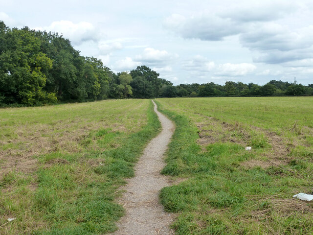
Peatmoor Wood is characterized by its dense, mature trees, predominantly consisting of oak, birch, and beech varieties. The forest floor is adorned with a carpet of wildflowers, creating a vibrant and colorful landscape during the spring and summer months. The wood is home to a rich variety of wildlife, including deer, foxes, badgers, and numerous species of birds. Birdwatchers can catch glimpses of woodpeckers, jays, and owls among the treetops.

This woodland offers a network of well-maintained paths and trails, making it a popular destination for walkers, joggers, and dog owners. The serene atmosphere and tranquil surroundings provide an ideal setting for leisurely strolls and peaceful picnics. The wood is also frequented by families who come to explore and enjoy the natural beauty of the area.

Peatmoor Wood is easily accessible, with ample parking available nearby. The wood is open to the public year-round, and entry is free of charge. Visitors are encouraged to respect the environment and follow the designated paths to preserve the delicate ecosystem that thrives within this charming woodland.

Overall, Peatmoor Wood offers a delightful escape from the hustle and bustle of everyday life, providing a sanctuary where visitors can immerse themselves in the beauty of nature.

If you have any feedback on the listing, please let us know in the comments section below.

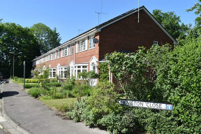
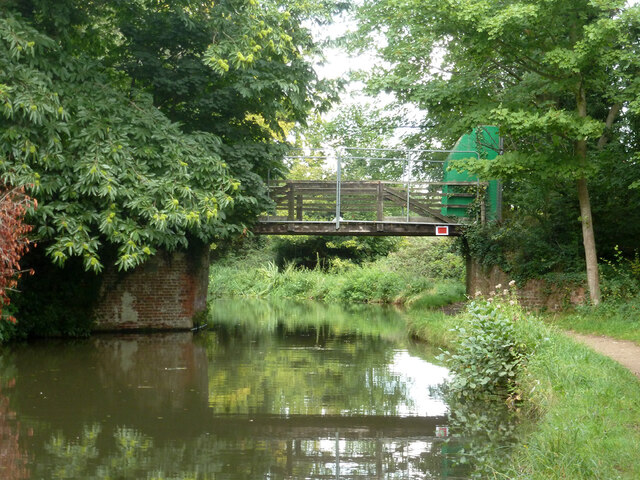
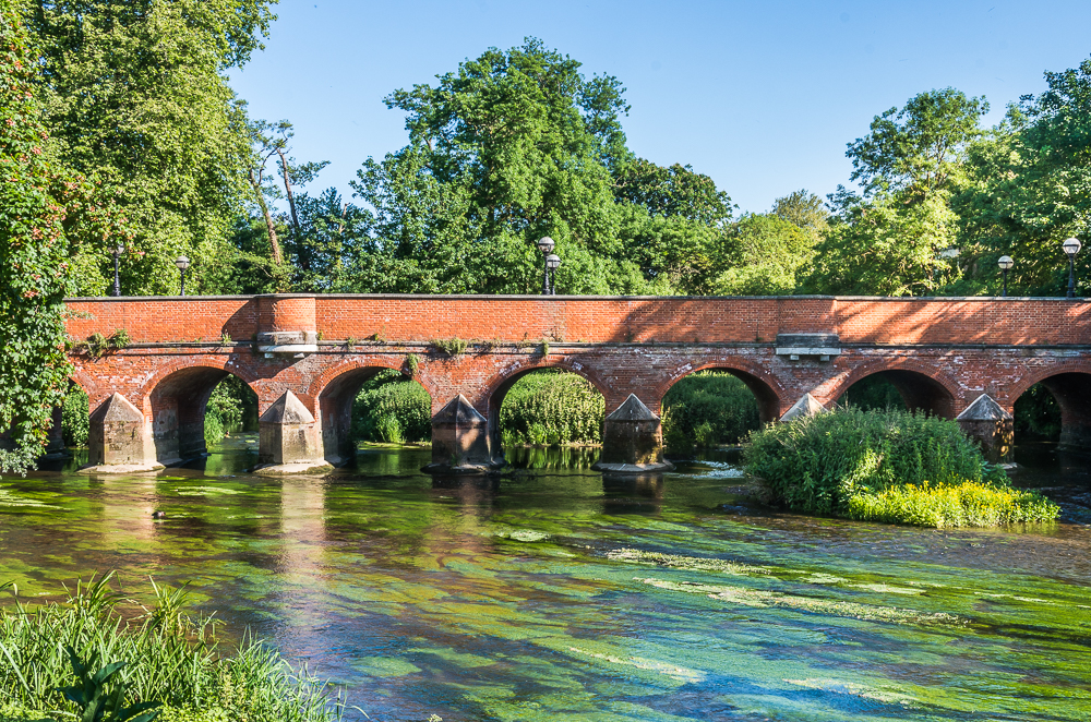
Peatmoor Wood Images

Images are sourced within 2km of 51.323363/-0.49929847 or Grid Reference TQ0459. Thanks to Geograph Open Source API. All images are credited.

The Station public house, West Byfleet
West Byfleet railway station
One day it will look like this Modern apartments and builder's hoarding, West Byfleet
One day it will look like this
Modern apartments and builder's hoarding, West Byfleet
Imaginary countryside Modern apartments and builder's hoarding, West Byfleet
Imaginary countryside
Modern apartments and builder's hoarding, West Byfleet
Cheniston Close, West Byfleet
South West main line to London, looking towards West Byfleet The station footbridge is visible in the distance.
South West main line to London, looking towards West Byfleet
The station footbridge is visible in the distance.
Bridleway 92, Woking Running from the end of suburban Dodd's Lane to and including the old Dodd's Lane. Older maps suggest this part was once a track.
Bridleway 92, Woking
Running from the end of suburban Dodd's Lane to and including the old Dodd's Lane. Older maps suggest this part was once a track.
Dodd's Lane Bridleway 92, Woking, towards the River Wey Navigation.
Dodd's Lane
Bridleway 92, Woking, towards the River Wey Navigation.
Dodd's Lane Bridleway 92, Woking, towards the River Wey Navigation.
Dodd's Lane
Bridleway 92, Woking, towards the River Wey Navigation.
River Wey Navigation north of Dodd's Bridge The Navigation and the natural river are separate for several km here, and are a good way apart, the river being well to the east - over 1 km at this spot.
River Wey Navigation north of Dodd's Bridge
The Navigation and the natural river are separate for several km here, and are a good way apart, the river being well to the east - over 1 km at this spot.
River Wey Navigation - rowing boat 10 Hired from Byfleet Boat Club, which is some way ahead.
River Wey Navigation - rowing boat 10
Hired from Byfleet Boat Club, which is some way ahead.
River Wey Navigation - Murray's Bridge A wooden span that appears to be fenced off. There is no right of way.
River Wey Navigation - Murray's Bridge
A wooden span that appears to be fenced off. There is no right of way.
Pylon base where conductors go underground The work in hand looks more like drainage work than electrical.
Pylon base where conductors go underground
The work in hand looks more like drainage work than electrical.
River Wey Navigation - boat house? There is a boat house mapped here, but evidently disused now, and it is hard to see if a roof still exists.
River Wey Navigation - boat house?
There is a boat house mapped here, but evidently disused now, and it is hard to see if a roof still exists.
River Wey Navigation - reeds Not much horse-drawn traffic these days.
River Wey Navigation - reeds
Not much horse-drawn traffic these days.
River Wey Navigation Looking south.
River Wey Navigation
Looking south.
West Byfleet: not stopping A train bound for Waterloo hurrying through West Byfleet with the sun low in the sky at 3.33 on a November afternoon.
West Byfleet: not stopping
A train bound for Waterloo hurrying through West Byfleet with the sun low in the sky at 3.33 on a November afternoon.
Show me another place!

Peatmoor Wood is located at Grid Ref: TQ0459 (Lat: 51.323363, Lng: -0.49929847)

Administrative County: Surrey

District: Woking

Police Authority: Surrey

What 3 Words

///amused.fries.indoor. Near West Byfleet, Surrey

Nearby Locations

Peatmoor Wood Ridgway

Related Wikis

Dane Court, Pyrford

Dane Court was an independent boarding and day preparatory school for boys aged 4 to 13 which was based at several sites in its 114 year history, but principally...

Mole Valley

Mole Valley is a local government district in Surrey, England. Its council is based in Dorking, and the district's other town is Leatherhead. The largest...

Pyrford

Pyrford is a village in the borough of Woking in Surrey, England. It is on the left bank of the River Wey, around two miles (three kilometres) east of...

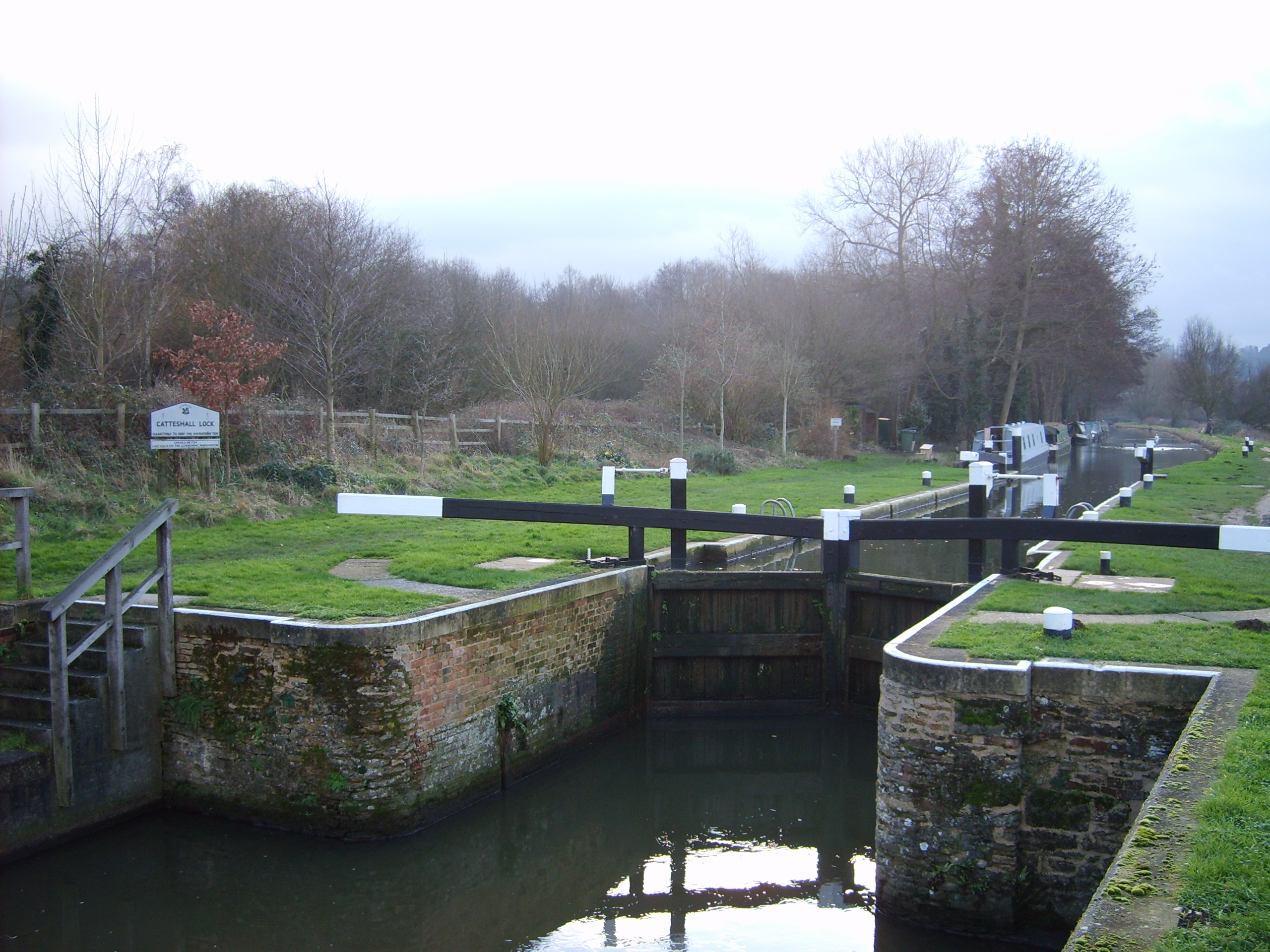
Wey and Godalming Navigations

The River Wey Navigation and Godalming Navigation together provide a 20-mile (32 km) continuous navigable route from the River Thames near Weybridge via...

Nearby Amenities

Located within 500m of 51.323363,-0.49929847
Power: tower
Lat/Long: 51.3196394/-0.5018865
Power: tower
Lat/Long: 51.3220712/-0.4988011
Power: tower
Lat/Long: 51.3244493/-0.4958163
Natural: shrub
Lat/Long: 51.3197137/-0.5026003
Power: tower
Lat/Long: 51.3206207/-0.5014979
Power: tower
Lat/Long: 51.3197571/-0.5024541
Bus Stop
Engliff Lane
Naptan AtcoCode: 40004404193A
Naptan Bearing: E
Naptan CommonName: Engliff Lane
Naptan Indicator: E-bound
Naptan Landmark: Engliff Lane
Naptan NaptanCode: suradgap
Naptan PlusbusZoneRef: WOKING
Naptan Street: Engliff Lane
Naptan Verified: no
Public Transport: platform
Source: naptan_import
Lat/Long: 51.3232891/-0.505981
Bus Stop
Floyds Lane
Naptan AtcoCode: 40004404194A
Naptan Bearing: E
Naptan CommonName: Floyds Lane
Naptan Indicator: E-bound
Naptan Landmark: Floyds Lane
Naptan NaptanCode: suradgaw
Naptan PlusbusZoneRef: WOKING
Naptan Street: Floyds Lane
Naptan Verified: no
Public Transport: platform
Source: naptan_import
Lat/Long: 51.3228544/-0.5025756
Bus Stop
Floyds Lane
Naptan AtcoCode: 40004404194B
Naptan Bearing: W
Naptan CommonName: Floyds Lane
Naptan Indicator: W-bound
Naptan Landmark: Floyds Lane
Naptan NaptanCode: suradgda
Naptan PlusbusZoneRef: WOKING
Naptan Street: Floyds Lane
Naptan Verified: no
Public Transport: platform
Source: naptan_import
Lat/Long: 51.3227536/-0.5020293
Turning Circle
Lat/Long: 51.3233519/-0.50351
Traffic Calming: hump
Lat/Long: 51.3267616/-0.5036536
Give Way
Source: Surrey-Air_Survey
Lat/Long: 51.3203969/-0.498255
Give Way
Source: Surrey-Air_Survey
Lat/Long: 51.3228042/-0.5016297
Barrier: bollard
Lat/Long: 51.3213468/-0.5053872
Hiking: yes
Information: guidepost
Source: GPS survey
Tourism: information
Lat/Long: 51.3195828/-0.4973834
Hiking: yes
Information: guidepost
Source: GPS survey
Tourism: information
Lat/Long: 51.3196168/-0.4975297
Hiking: yes
Information: guidepost
Source: GPS survey
Tourism: information
Lat/Long: 51.3220251/-0.5012371
Bench
Backrest: yes
Lat/Long: 51.3259683/-0.5021511
Hiking: yes
Information: guidepost
Source: GPS survey
Tourism: information
Lat/Long: 51.3266387/-0.5019888
Golf: pin
Lat/Long: 51.3216359/-0.4934637
Post Box
Brand: Royal Mail
Brand Wikidata: Q638098
Collection Plate: CP7D
Collection Times: Mo-Fr 09:00; Sa 07:00
Note: This postbox is of a brand new EIIR lamp design.
Operator: Royal Mail
Operator Wikidata: Q638098
Post Box Mounting: pier
Post Box Type: lamp
Ref: GU22 213D
Royal Cypher: EIIR
Royal Cypher Wikidata: Q33102113
Source: survey
Survey Point: 2022-08-28
Lat/Long: 51.3254576/-0.5036103
Grit Bin
Colour: yellow
Covered: yes
Operator: Surrey County Council
Source: survey
Survey Point: 2022-08-28
Lat/Long: 51.3246637/-0.5049317
Grit Bin
Colour: yellow
Covered: yes
Operator: Surrey County Council
Source: survey
Survey Point: 2022-08-28
Lat/Long: 51.3233492/-0.5055688
Barrier: kissing_gate
Lat/Long: 51.3192737/-0.4987837
The data included in this document is from www.openstreetmap.org. The data is made available under ODbL.

Have you been to Peatmoor Wood?

Leave your review of Peatmoor Wood below (or comments, questions and feedback).