Jubilee Plantation

Wood, Forest in Lincolnshire South Kesteven

England

Jubilee Plantation

The Five Bells at Edenham
The Five Bells at Edenham Credit: Tim Heaton

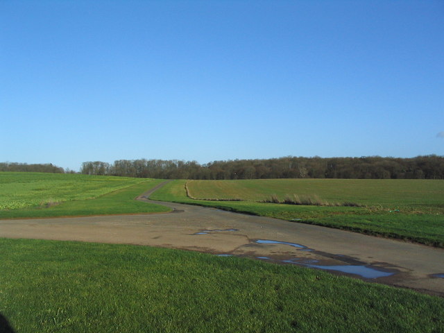
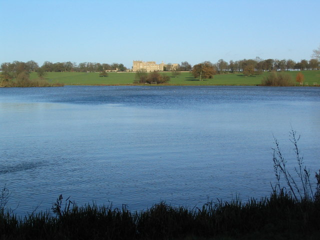
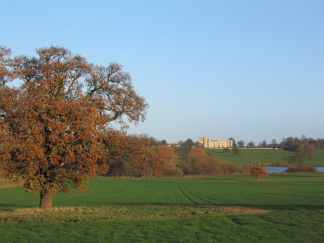
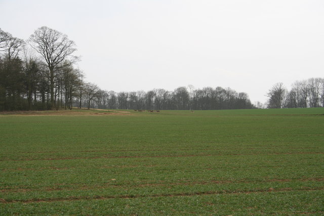
Jubilee Plantation is a picturesque woodland located in Lincolnshire, England. Covering an area of approximately 100 acres, this forested area is known for its stunning natural beauty and diverse range of flora and fauna.

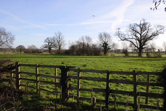
The plantation is predominantly made up of deciduous trees, including oak, ash, and birch, which create a lush and vibrant canopy during the summer months. In addition to the towering trees, the forest floor is covered in a carpet of wildflowers, ferns, and mosses, providing a habitat for a variety of wildlife.

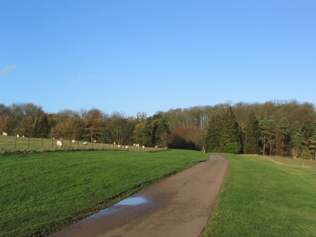
Jubilee Plantation is a haven for birdwatchers, as it attracts a wide range of species throughout the year. Visitors may spot woodpeckers, tawny owls, and several species of warblers among the trees. The peaceful atmosphere and abundance of natural resources also make it a popular spot for nature enthusiasts, hikers, and photographers.

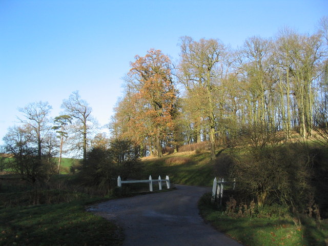
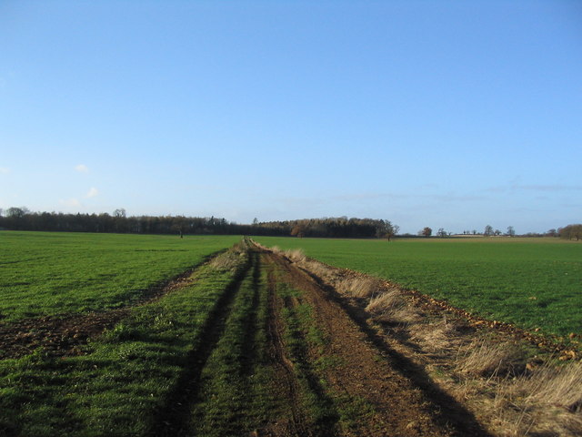
The plantation is well-maintained, with clearly marked trails and paths that allow visitors to explore the forest at their own pace. These pathways lead to scenic viewpoints, picnic areas, and tranquil ponds, providing ample opportunities to relax and enjoy the surroundings.

Jubilee Plantation is not only a natural gem but also holds historical significance. It was originally established in 1977 to commemorate Queen Elizabeth II's Silver Jubilee, hence its name. The site has since become a cherished community resource, providing a sanctuary for both wildlife and visitors seeking solace in nature.

If you have any feedback on the listing, please let us know in the comments section below.

Jubilee Plantation Images

Images are sourced within 2km of 52.774525/-0.45170477 or Grid Reference TF0420. Thanks to Geograph Open Source API. All images are credited.

The Five Bells at Edenham
Estate cottages, Scottlethorpe road
Tumble Row Farm, Scottlethorpe
View north from near Scottlethorpe Grange The road to Scottlethorpe runs across a valley in the middle distance and (invisibly) through the woods on the horizon
View north from near Scottlethorpe Grange
The road to Scottlethorpe runs across a valley in the middle distance and (invisibly) through the woods on the horizon
View north towards Park House, Grimsthorpe Park
Road running east into Grimsthorpe Park Much of the central part of this large Park estate is farmed, but the remainder is attractive woodland.
Road running east into Grimsthorpe Park
Much of the central part of this large Park estate is farmed, but the remainder is attractive woodland.
Road junction, Grimsthorpe Park The main road through the Park. Running from Chestnut Avenue to the south (bottom right), towards the castle at the north end of the Park (top).
Road junction, Grimsthorpe Park
The main road through the Park. Running from Chestnut Avenue to the south (bottom right), towards the castle at the north end of the Park (top).
'Pots and Pans', Grimsthorpe Park Bumpy ground marking former quarry. Extraction of good quality limestone remains an important activity in the area.
'Pots and Pans', Grimsthorpe Park
Bumpy ground marking former quarry. Extraction of good quality limestone remains an important activity in the area.
Bridge leading to 'The Vaudey', Grimsthorpe Park The stream leaving from the lake south of Grimsthorpe Castle runs through a valley named 'Vallis Dei' (Valley of God, now 'Vaudey') by Cistercian monks who founded an abbey here in the 12th century.
Bridge leading to 'The Vaudey', Grimsthorpe Park
The stream leaving from the lake south of Grimsthorpe Castle runs through a valley named 'Vallis Dei' (Valley of God, now 'Vaudey') by Cistercian monks who founded an abbey here in the 12th century.
Grimsthorpe Park
Grimsthorpe Park
Grimsthorpe Lake The southern end of the lake, with Grimsthorpe Castle in the distance
Grimsthorpe Lake
The southern end of the lake, with Grimsthorpe Castle in the distance
Grimsthorpe Park; view to the Castle from the south-west
Track towards Bishopshall Wood, Grimsthorpe Park The track runs west from the lake, towards the exit of the Park at Swinstead
Track towards Bishopshall Wood, Grimsthorpe Park
The track runs west from the lake, towards the exit of the Park at Swinstead
Farmland at Grimsthorpe, Lincolnshire
East Glen River Looking down stream from the bridge on the road from Edenham to Lound.
East Glen River
Looking down stream from the bridge on the road from Edenham to Lound.
East Glen River Looking upstream from The Edenham to Lound road
East Glen River
Looking upstream from The Edenham to Lound road
Deer on the Grimsthorpe Castle Estate Deer approach the wood on Maize Hill
Deer on the Grimsthorpe Castle Estate
Deer approach the wood on Maize Hill
Font, St. Michael's church Edenham The font is thought to date from the Norman period.  Note also, the carved heads on the pews.
Font, St. Michael's church Edenham
The font is thought to date from the Norman period. Note also, the carved heads on the pews.
Show me another place!

Jubilee Plantation is located at Grid Ref: TF0420 (Lat: 52.774525, Lng: -0.45170477)

Administrative County: Lincolnshire

District: South Kesteven

Police Authority: Lincolnshire

What 3 Words

///outgrown.flame.freedom. Near Bourne, Lincolnshire

Related Wikis

South Kesteven Rural District

South Kesteven was a rural district in Lincolnshire, Parts of Kesteven in England from 1931 to 1974. It was formed under a County Review Order in 1931...

Vaudey Abbey

Vaudey Abbey , also known as Vandy Abbey or Vandey Abbey, was an English Cistercian abbey. It was founded in 1147 by William, Count of Aumale, Earl of...

Scottlethorpe

Scottlethorpe is a village in the South Kesteven district of Lincolnshire, England. It is situated approximately 3 miles (4.8 km) north-west from Bourne...

Edenham railway station

Edenham railway station was a station in Edenham, Lincolnshire. It was the terminus of a four-mile branch line from the Great Northern Railway at Little...

Edenham

Edenham ( EDD-ən-əm) is a village and civil parish in the South Kesteven district of Lincolnshire, England. It is approximately 3 miles (5 km) north-west...
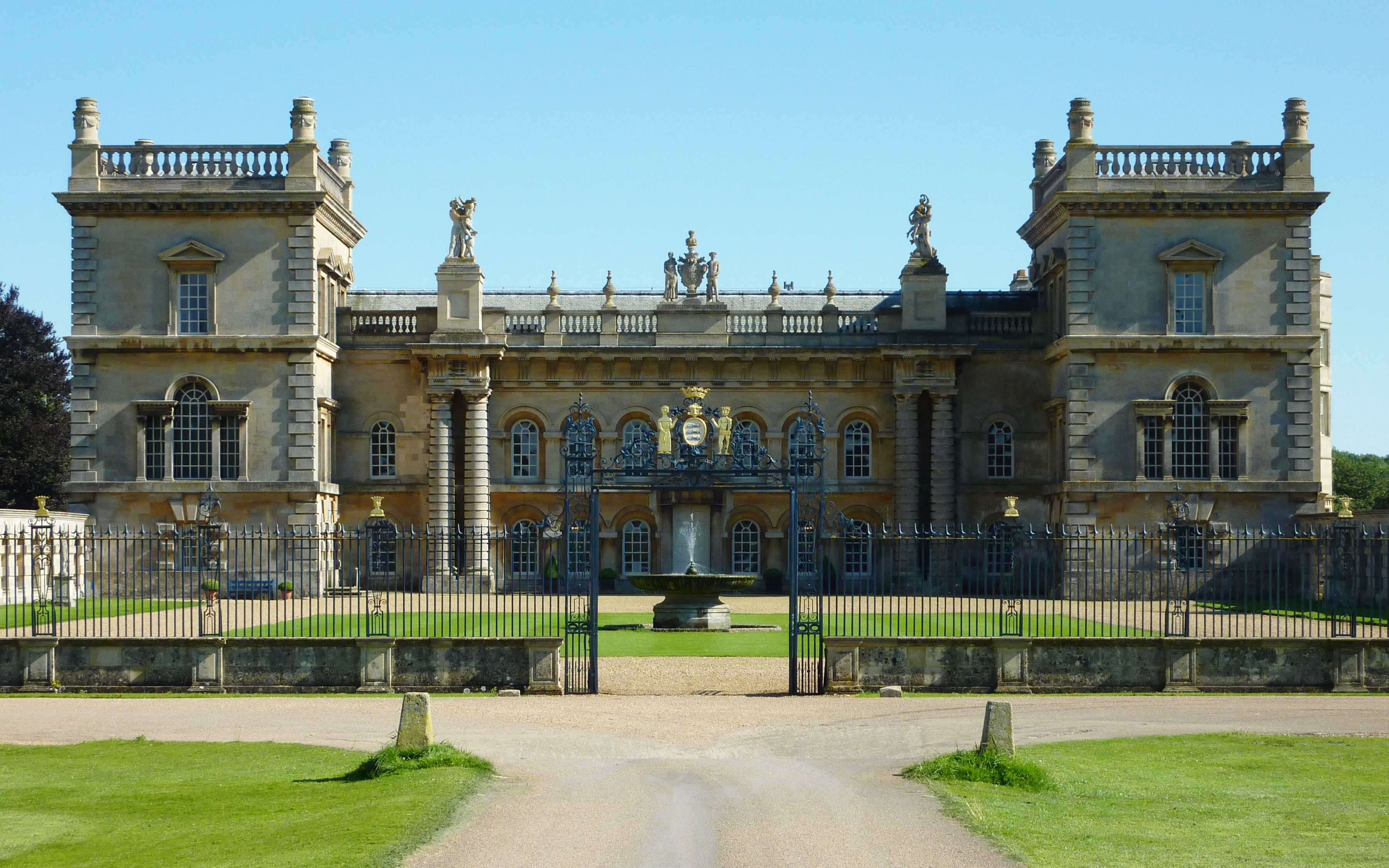
Grimsthorpe Castle

Grimsthorpe Castle is a country house in Lincolnshire, England 4 miles (6.4 km) north-west of Bourne on the A151. It lies within a 3,000 acre (12 km2)...

Grimsthorpe

Grimsthorpe is a hamlet in the South Kesteven district of Lincolnshire, England. It is situated on the A151 road, and 3 miles (5 km) north-west from Bourne...

Bourne Rural District

Bourne was a rural district in Lincolnshire, Parts of Kesteven from 1894 to 1931. It was created by the Local Government Act 1894 based on the Bourne rural...

Nearby Amenities

Located within 500m of 52.774525,-0.45170477
Quarry Cottage
Place: isolated_dwelling
Lat/Long: 52.7719149/-0.450933
Note: End of Public Highway
Lat/Long: 52.7724537/-0.4504153
The data included in this document is from www.openstreetmap.org. The data is made available under ODbL.

Have you been to Jubilee Plantation?

Leave your review of Jubilee Plantation below (or comments, questions and feedback).