Clapham Park
Wood, Forest in Bedfordshire
England
Clapham Park

Clapham Park, located in Bedfordshire, England, is a charming woodland area known for its natural beauty and serene atmosphere. The park is situated in the village of Clapham, which is just a short distance from the town of Bedford. Spanning over an area of approximately 40 hectares, Clapham Park is a haven for nature lovers and outdoor enthusiasts.
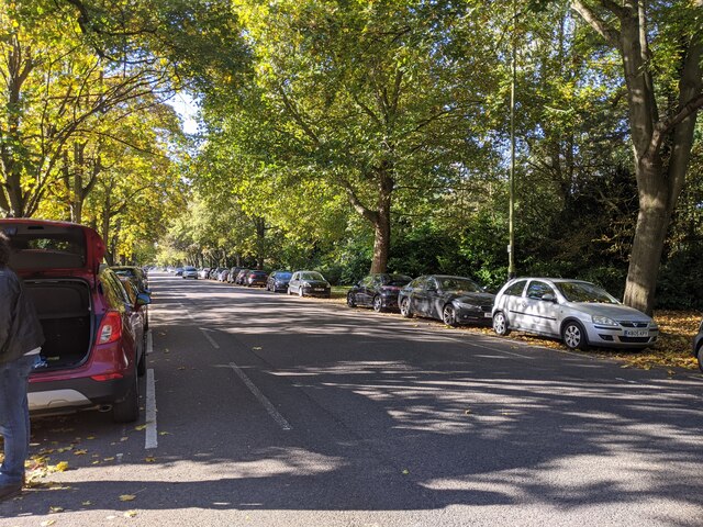
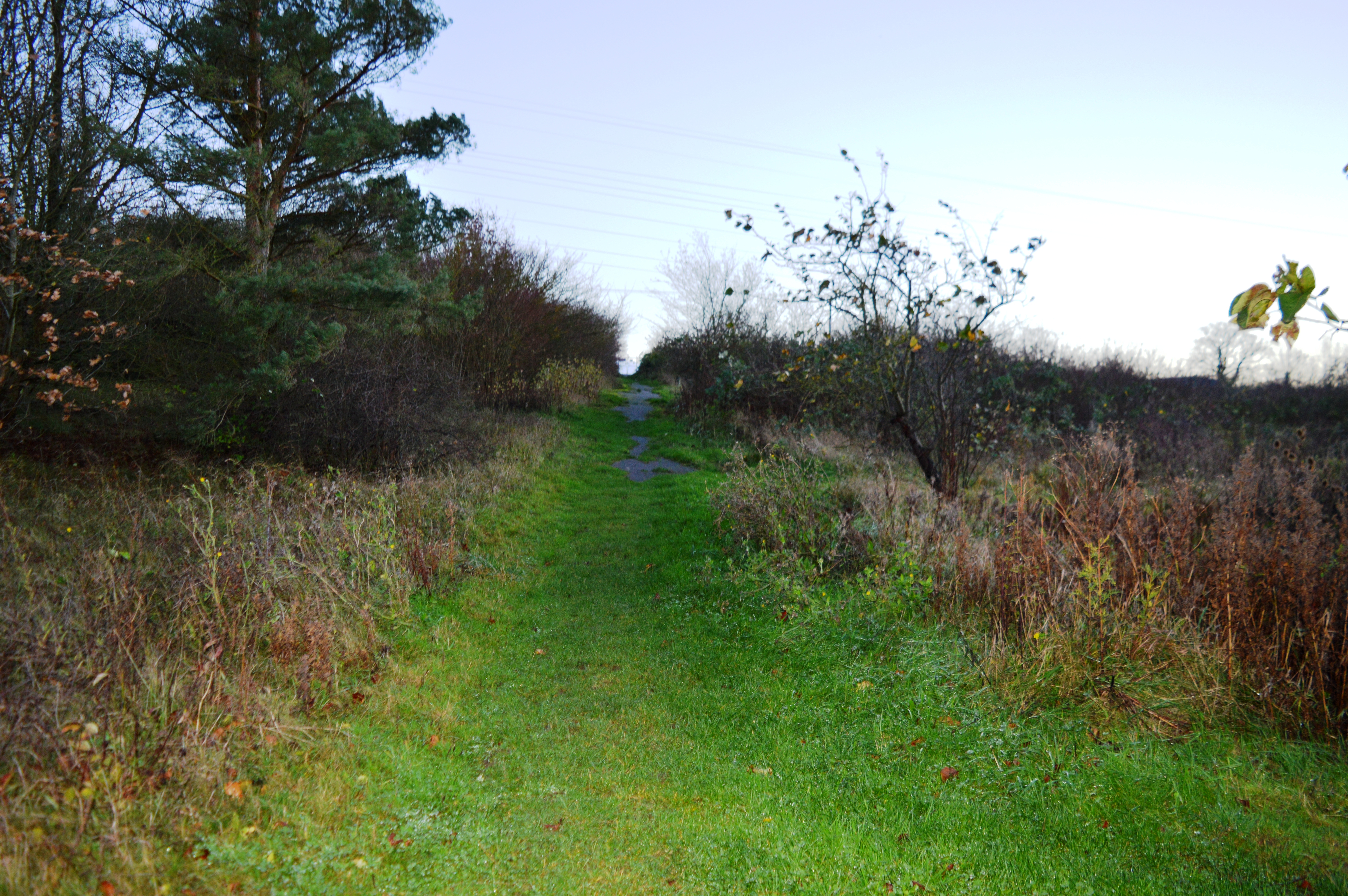
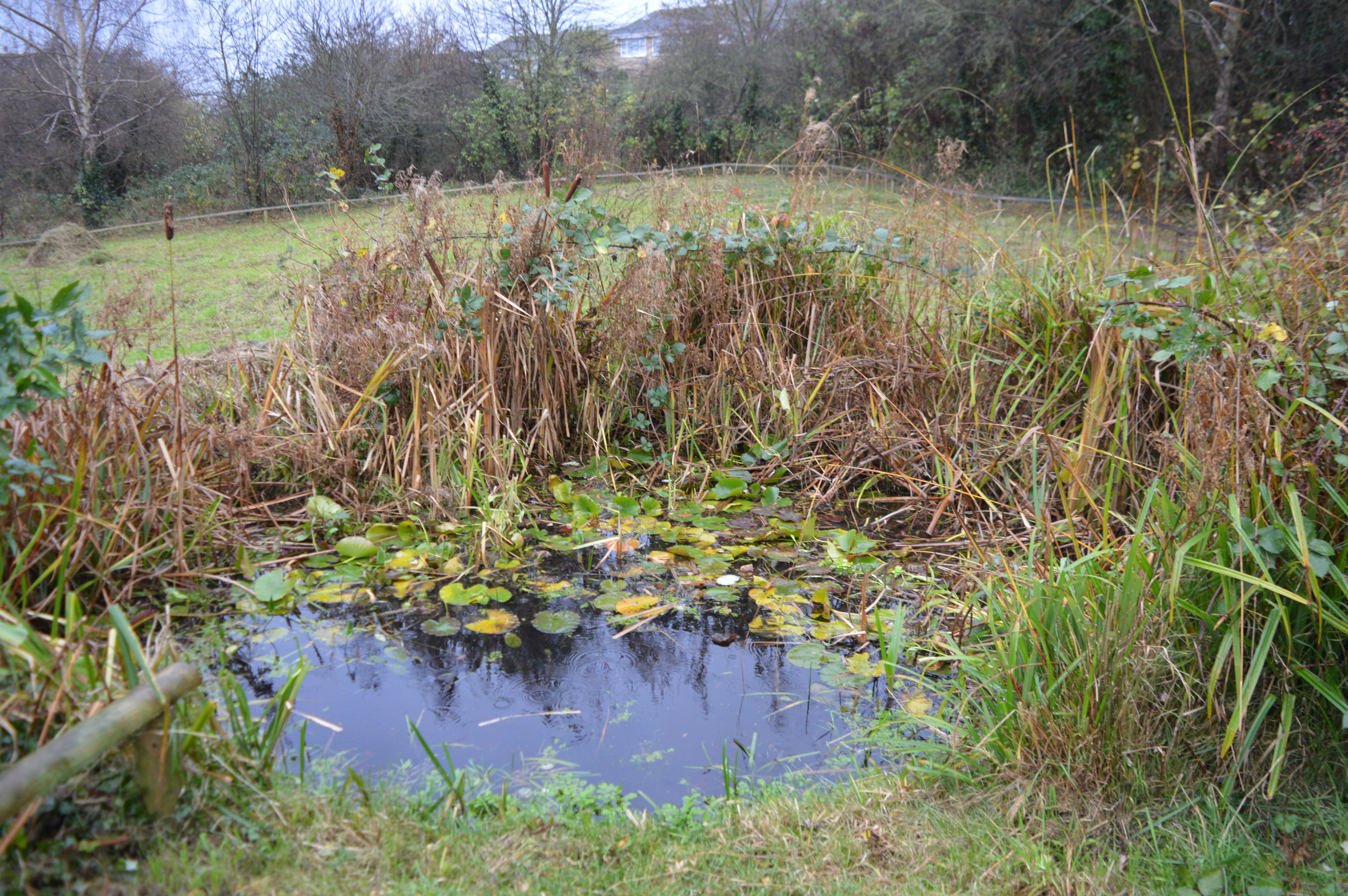
The park is predominantly covered by a dense forest, which is home to a diverse range of flora and fauna. The woodlands are characterized by towering trees, including oak, beech, and birch, which provide a picturesque backdrop throughout the year. The forest floor is rich in wildflowers, creating a vibrant carpet of colors during the spring and summer months.
Clapham Park offers a variety of walking trails, allowing visitors to explore the enchanting woodland at their own pace. These well-maintained paths wind through the trees, offering glimpses of wildlife such as deer, squirrels, and a wide array of bird species. For those interested in photography or birdwatching, the park provides ample opportunities to capture stunning images or observe the fascinating birdlife.
In addition to its natural beauty, Clapham Park also features several amenities for visitors to enjoy. There are picnic areas dotted throughout the park, providing a perfect spot to relax and soak in the peaceful surroundings. The park is also equipped with benches, allowing visitors to rest and take in the tranquil atmosphere.
Overall, Clapham Park in Bedfordshire is a true gem, offering a peaceful retreat within the stunning backdrop of a woodland paradise.
If you have any feedback on the listing, please let us know in the comments section below.
Clapham Park Images
Images are sourced within 2km of 52.159656/-0.47409601 or Grid Reference TL0452. Thanks to Geograph Open Source API. All images are credited.


Clapham Park is located at Grid Ref: TL0452 (Lat: 52.159656, Lng: -0.47409601)
Unitary Authority: Bedford
Police Authority: Bedfordshire
What 3 Words
///menu.oils.pits. Near Clapham, Bedfordshire
Nearby Locations
Related Wikis
Park Wood, Bedford
Park Wood is a 5.2 hectare Local Nature Reserve located in the Brickhill area of Bedford. It is owned by Bedford Borough Council and managed by the council...

St Thomas More Catholic School, Bedford
St Thomas More Catholic School is a mixed secondary school and sixth form located in Bedford in the English county of Bedfordshire. The school is located...
Bedford & County Golf Club
Bedford & County Golf Club is a golf club to the northeast of Clapham, Bedfordshire, England. It was established in 1912. As of 1995 the course measured...

Brickhill
Brickhill is a civil parish and electoral ward within northern Bedford in Bedfordshire, England. The boundaries of Brickhill are approximately Kimbolton...
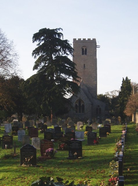
Church of St Thomas of Canterbury, Clapham, Bedfordshire
Church of St Thomas of Canterbury (also Clapham Parish Church, or Thomas à Becket) is a parish church and Grade I listed building in Clapham, Bedfordshire...
Hill Rise, Bedford
Hill Rise is a 0.9 hectare Local Nature Reserve (LNR) located in the Harpur area of Bedford. It is owned and managed by Bedford Borough Council.The site...

Bedford Modern School
Bedford Modern School (often called BMS) is a Headmasters' and Headmistresses' Conference independent school in Bedford, England. The school has its origins...

Harpur
Harpur is an electoral ward and area within the town of Bedford, England. The boundaries of Harpur are approximately Manton Lane to the north, De Parys...
Nearby Amenities
Located within 500m of 52.159656,-0.47409601Have you been to Clapham Park?
Leave your review of Clapham Park below (or comments, questions and feedback).