Skimpot Wood
Wood, Forest in Hertfordshire
England
Skimpot Wood

Skimpot Wood is a picturesque woodland area located in Hertfordshire, England. Spread across an area of approximately 300 acres, it is a popular destination for nature lovers and outdoor enthusiasts. The wood is situated on the eastern outskirts of the town of Luton, making it easily accessible to locals and visitors alike.
This ancient woodland is characterized by its diverse range of trees, including oak, ash, birch, and beech. The dense canopy provides a haven for various species of birds, insects, and small mammals, making it an ideal spot for wildlife enthusiasts and birdwatchers. The wood is also home to a variety of wildflowers, creating a vibrant and colorful landscape during the spring and summer months.
Skimpot Wood offers a network of well-maintained footpaths and trails, allowing visitors to explore its natural beauty. The paths wind through the wood, providing stunning views of the surrounding countryside. There are also designated picnic areas and benches where visitors can relax and enjoy a picnic amidst the tranquil setting.
The wood is managed by the Woodland Trust, a leading conservation charity in the UK, ensuring its preservation and protection for future generations. The trust also organizes various educational and community events, encouraging people to learn more about the importance of woodland ecosystems and the role they play in supporting biodiversity.
Skimpot Wood is a hidden gem in Hertfordshire, offering a peaceful escape from the hustle and bustle of urban life. Whether you are a nature enthusiast, avid walker, or simply seeking a serene environment to unwind, Skimpot Wood is a must-visit destination.
If you have any feedback on the listing, please let us know in the comments section below.
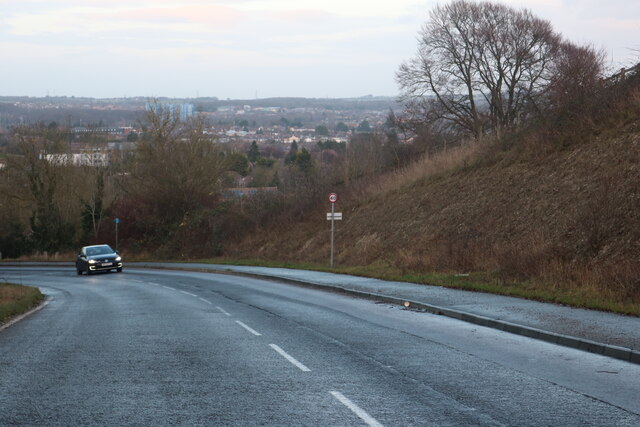
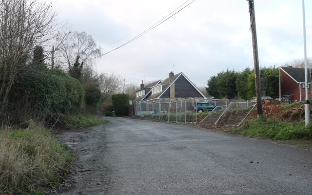
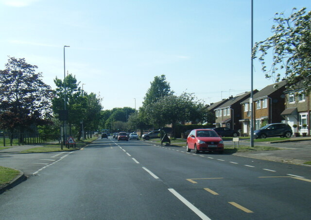
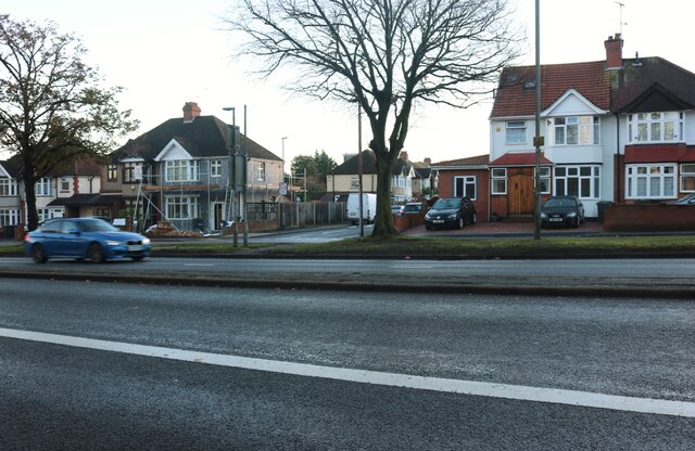
Skimpot Wood Images
Images are sourced within 2km of 51.884108/-0.48414143 or Grid Reference TL0421. Thanks to Geograph Open Source API. All images are credited.


Skimpot Wood is located at Grid Ref: TL0421 (Lat: 51.884108, Lng: -0.48414143)
Unitary Authority: Central Bedfordshire
Police Authority: Bedfordshire
What 3 Words
///senior.newly.limes. Near Caddington, Bedfordshire
Nearby Locations
Related Wikis

Skimpot
Skimpot is a suburb of Luton, in Bedfordshire, England. The area is roughly bounded by Dunstable Road to the north, Hatters Way to the south, Skimpot Road...
Zouches Farm transmitting station
Zouches Farm transmitting station is a microwave radio link site located near the top of Blows Downs at Zouches Farm, Caddington, Bedfordshire, England...

Cottage Bottom Fields
Cottage Bottom Fields is a 14.1 hectare local nature reserve in Dunstable in Bedfordshire. It is owned and managed by Central Bedfordshire Council.The...

Blow's Down
Blow's Down (or Blow's Downs) is a 33.1-hectare (82-acre) biological Site of Special Scientific Interest in Dunstable in Bedfordshire. It was notified...
Lewsey
Lewsey is a suburb of Luton, about 3 miles (4.8 km) west north-west of the town centre, and a ward of the Borough of Luton, in the ceremonial county of...

Luton and Dunstable University Hospital
Luton and Dunstable University Hospital is an acute hospital in Luton, Bedfordshire, England, run by Bedfordshire Hospitals NHS Foundation Trust. It provides...
The Chalk Hills Academy
The Chalk Hills Academy (formerly Halyard High School, Barnfield West Academy and West Academy) is a Mixed secondary school and sixth form, part of The...
Challney High School for Girls
Challney High School for Girls is a school comprehensive secondary school for girls, located in the Challney area of Luton, Bedfordshire, England. The...
Nearby Amenities
Located within 500m of 51.884108,-0.48414143Have you been to Skimpot Wood?
Leave your review of Skimpot Wood below (or comments, questions and feedback).