Ham Copse
Wood, Forest in Sussex Horsham
England
Ham Copse
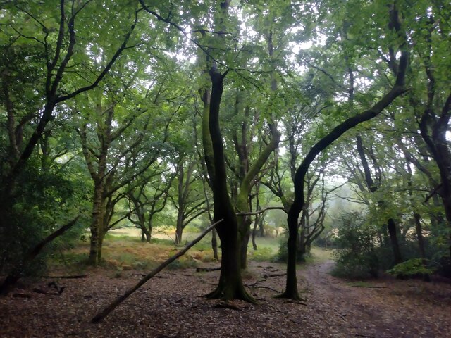
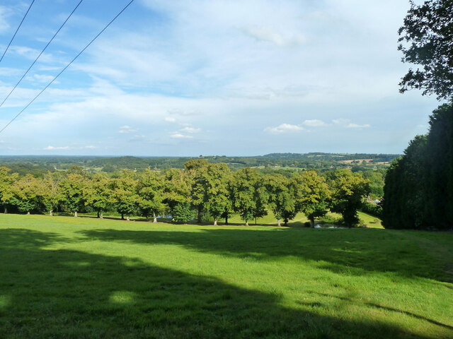
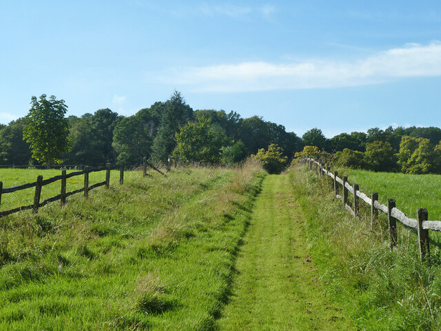
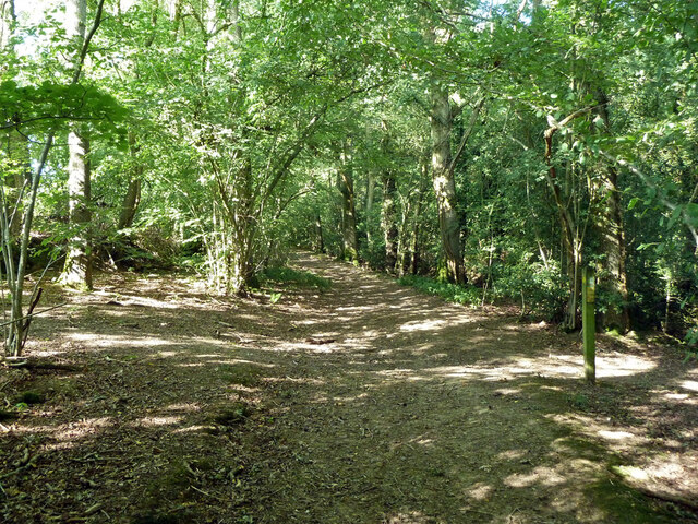
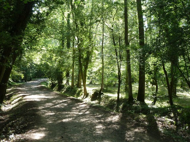
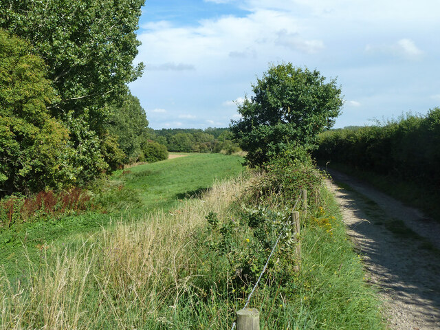
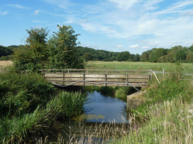
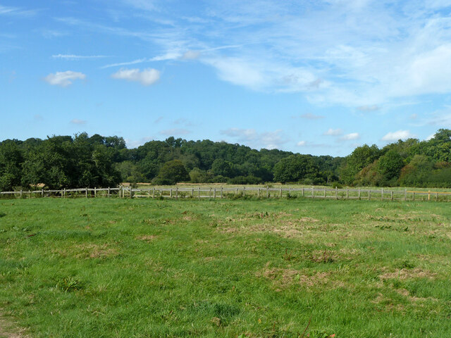
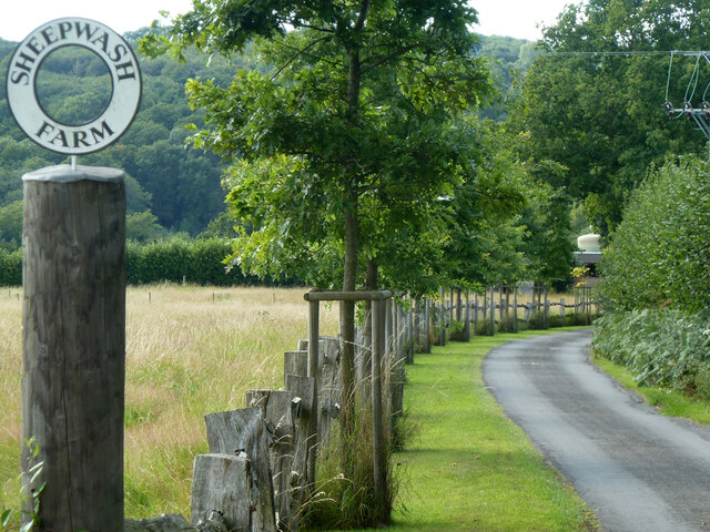
Ham Copse is a picturesque woodland area located in the county of Sussex, England. Covering an area of approximately 50 acres, the copse is known for its scenic beauty and diverse range of flora and fauna. Situated near the village of Ham, the copse is easily accessible and attracts nature enthusiasts, hikers, and photographers from all over the region.
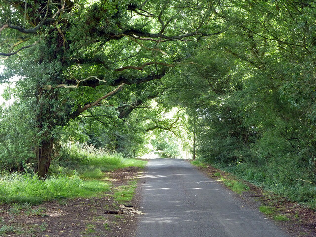
The woodland is predominantly composed of broadleaf trees, including oak, beech, and birch, which provide a dense canopy that filters sunlight and creates a tranquil atmosphere. The forest floor is adorned with a rich carpet of bluebells in the spring, making it a popular spot for wildflower enthusiasts.
Ham Copse is also home to a variety of wildlife, making it an ideal destination for animal lovers. Rare bird species such as the redstart and woodlark can be spotted in the area, as well as mammals like deer, foxes, and badgers. The copse is also known for its butterfly population, with species such as the silver-washed fritillary and purple emperor fluttering among the trees.
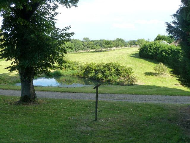
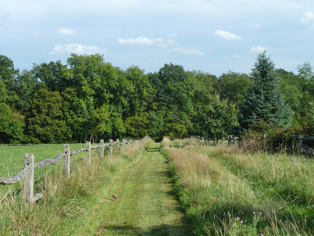
Visitors to Ham Copse can enjoy a network of well-maintained walking trails that wind through the woodland, allowing them to explore the natural beauty at their own pace. The copse is also equipped with picnic areas and benches, providing a perfect spot to relax and soak in the peaceful surroundings.
Overall, Ham Copse is a charming and idyllic woodland area that offers a delightful escape from the hustle and bustle of everyday life. Whether it's a leisurely stroll through the trees or a chance to observe the local wildlife, Ham Copse provides a memorable experience for nature enthusiasts of all ages.
If you have any feedback on the listing, please let us know in the comments section below.
Ham Copse Images
Images are sourced within 2km of 50.98432/-0.51457313 or Grid Reference TQ0421. Thanks to Geograph Open Source API. All images are credited.


Ham Copse is located at Grid Ref: TQ0421 (Lat: 50.98432, Lng: -0.51457313)
Administrative County: West Sussex
District: Horsham
Police Authority: Sussex
What 3 Words
///backhand.reminder.trailers. Near Pulborough, West Sussex
Nearby Locations
Related Wikis

Upper Arun
Upper Arun is a 17.6-hectare (43-acre) biological Site of Special Scientific Interest between Billingshurst and Pulborough in West Sussex.This 13-kilometre...

Codmore Hill
Codmore Hill is a hamlet in the Horsham District of West Sussex, England. It lies on the A29 road 1 mile (1.6 km) north of Pulborough. It is in the civil...
North Heath
North Heath is a hamlet in the Horsham District of West Sussex, England. It lies just off the A29 road 1.9 miles (3 km) north of Pulborough. The Brinsbury...

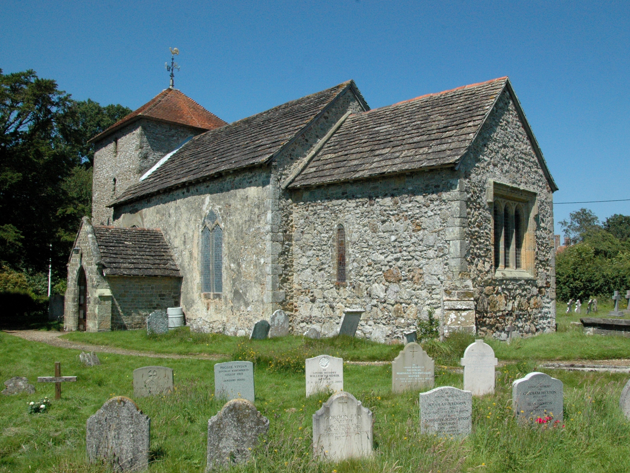
Pulborough
Pulborough is a large village and civil parish in the Horsham district of West Sussex, England, with some 5,000 inhabitants. It is located almost centrally...

Park Farm Cutting
Park Farm Cutting is a 0.2-hectare (0.49-acre) geological Site of Special Scientific Interest west of Pulborough in West Sussex. It is a Geological Conservation...

The Mens
The Mens is a 205.2-hectare (507-acre) biological Site of Special Scientific Interest west of Billingshurst in West Sussex. It is a Nature Conservation...
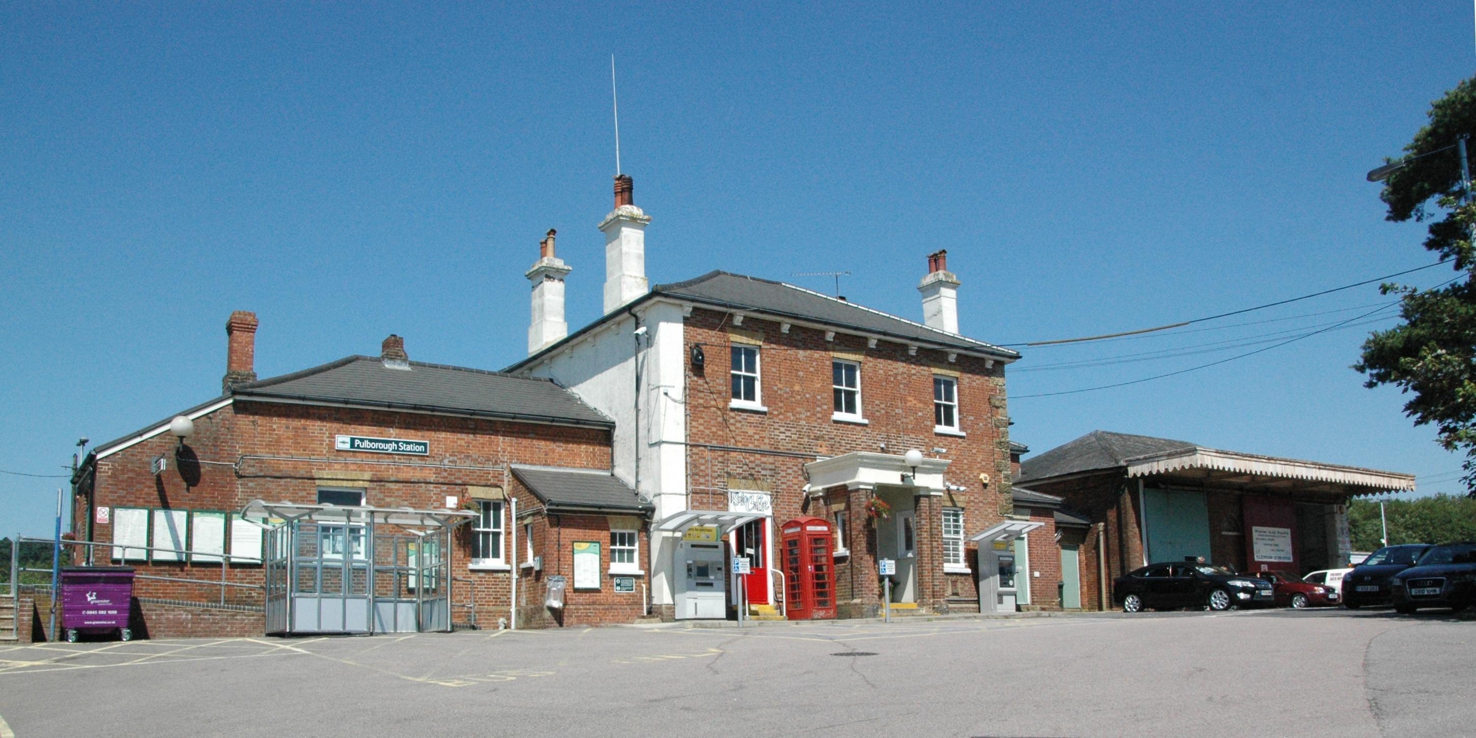
Pulborough railway station
Pulborough railway station serves the West Sussex village of Pulborough. It is at the western end of the village, just off the A283 road. It is 50 miles...
Stopham
Stopham is a hamlet and civil parish in the District of Chichester in West Sussex, England, about 1.5 miles (2.4 km) west of Pulborough on the A283 road...
Nearby Amenities
Located within 500m of 50.98432,-0.51457313Have you been to Ham Copse?
Leave your review of Ham Copse below (or comments, questions and feedback).