Garson Copse
Wood, Forest in Surrey Waverley
England
Garson Copse
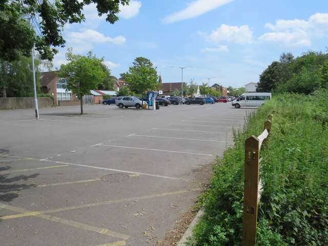
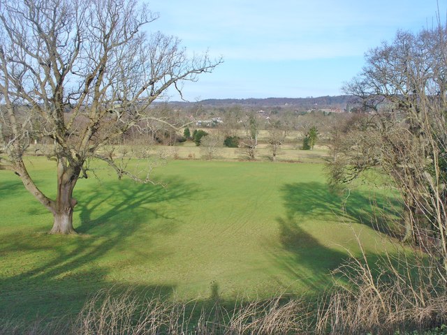
Garson Copse is a picturesque woodland area located in Surrey, England. Spanning over a vast expanse, the copse is known for its lush greenery, diverse wildlife, and tranquil ambiance. It is situated near the village of Esher, making it easily accessible to both locals and visitors.
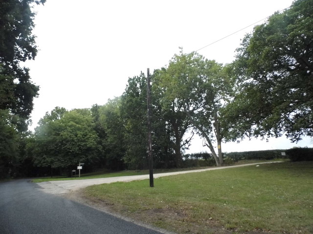
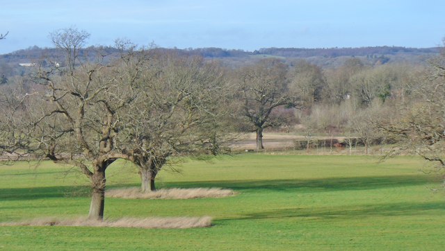
Covering an area of approximately 100 acres, Garson Copse is predominantly composed of deciduous trees, including oak, birch, and beech. These towering giants provide a dense canopy that filters sunlight, creating a dappled effect on the forest floor. The copse is also home to a variety of shrubs, ferns, and wildflowers, enhancing its natural beauty throughout the seasons.
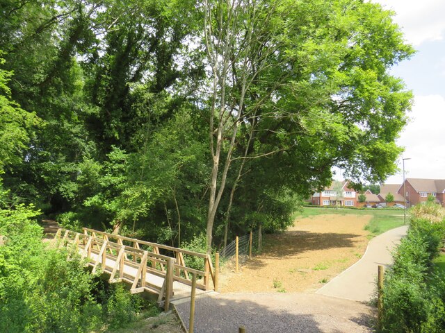
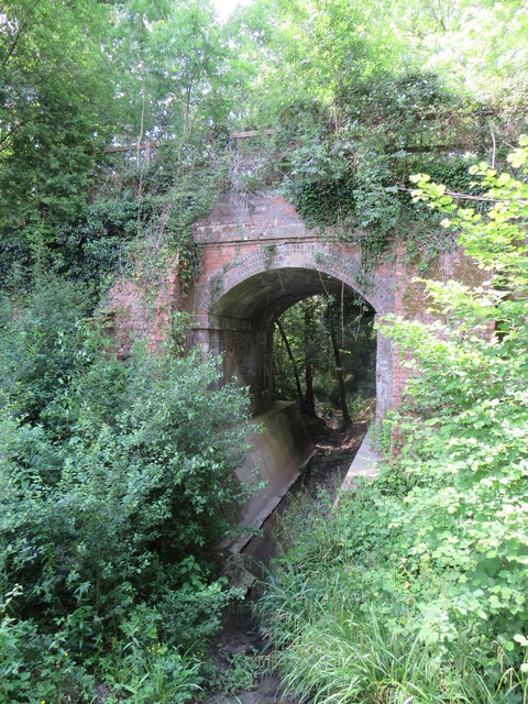
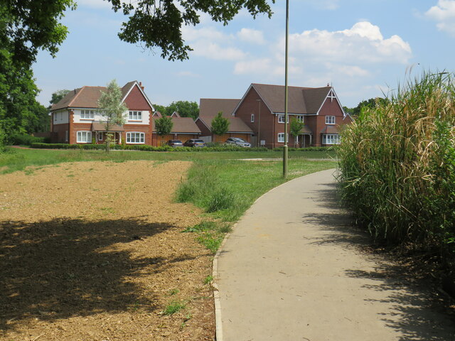
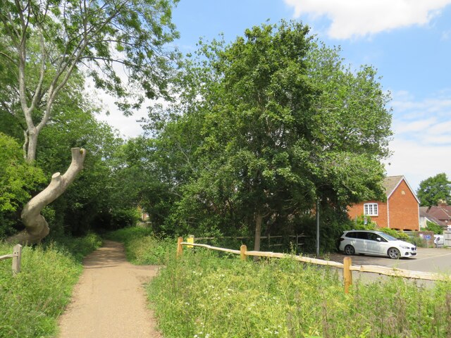
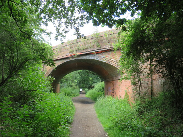
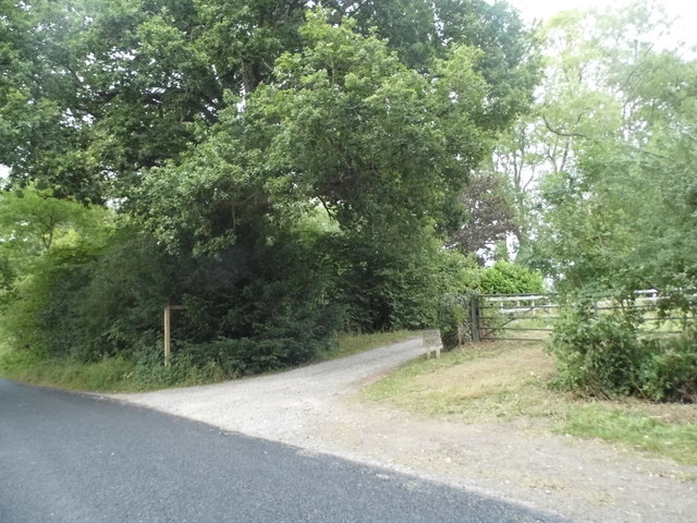
The woodland is intersected by several well-maintained footpaths, allowing visitors to explore its hidden treasures. These paths wind through the trees, leading to open clearings and secluded spots where one can pause and immerse in the serenity of nature. Along the way, one may encounter a wide array of wildlife, including deer, foxes, squirrels, and a myriad of bird species.
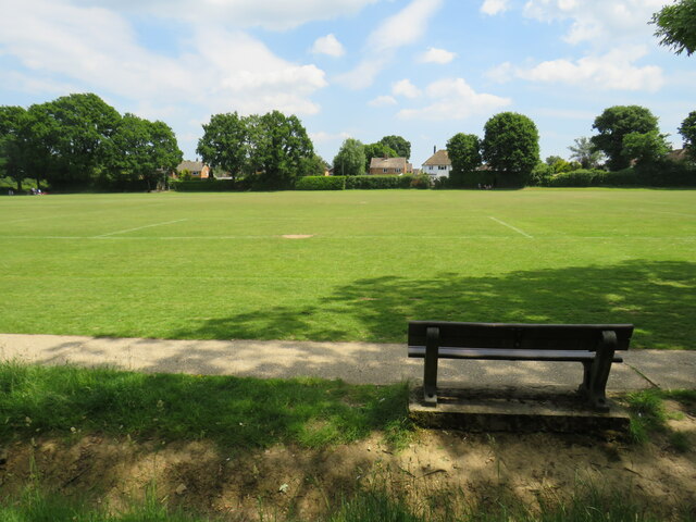
Garson Copse is not only a haven for flora and fauna but also a popular destination for recreational activities. It offers opportunities for hiking, birdwatching, and photography, attracting nature enthusiasts from far and wide. The copse is also a cherished spot for picnics, with designated areas providing picnic tables and benches for visitors to enjoy a meal amidst the tranquil surroundings.
Overall, Garson Copse in Surrey stands as a testament to the beauty and tranquility of nature. With its diverse ecosystem, well-maintained footpaths, and ample recreational opportunities, it is a place where individuals of all ages can escape the hustle and bustle of everyday life and reconnect with the natural world.
If you have any feedback on the listing, please let us know in the comments section below.
Garson Copse Images
Images are sourced within 2km of 51.128867/-0.51079845 or Grid Reference TQ0437. Thanks to Geograph Open Source API. All images are credited.


Garson Copse is located at Grid Ref: TQ0437 (Lat: 51.128867, Lng: -0.51079845)
Administrative County: Surrey
District: Waverley
Police Authority: Surrey
What 3 Words
///flickers.brew.sparrows. Near Cranleigh, Surrey
Nearby Locations
Related Wikis

London to Portsmouth canal
The London to Portsmouth canal was a concept for the construction of a secure inland canal route from the British capital of London to the headquarters...

Wey and Arun Canal
The Wey and Arun Canal is a partially open, 23-mile-long (37 km) canal in the southeast of England. It runs southwards from the River Wey at Gunsmouth...

Cranleigh railway station
Cranleigh was a railway station on the Cranleigh Line between Guildford and Horsham. It served the village of Cranleigh, Surrey in southern England....

Dunsfold Aerodrome
Dunsfold Aerodrome (former ICAO code EGTD) is an unlicensed airfield in Surrey, England, near the village of Cranleigh. It extends across land in the villages...

Glebelands School
Glebelands School is a county-funded and charity-supported secondary school in Cranleigh, Surrey, England. It is co-educational and takes students aged...
Alfold F.C.
Alfold Football Club is a football club based in Alfold, Surrey, England. They are currently members of the Southern Combination Division One and play...
Cranleigh
Cranleigh is a village and civil parish, about 8 miles (13 km) southeast of Guildford in Surrey, England. It lies on a minor road east of the A281, which...

Top Gear test track
The Top Gear test track is used by the BBC automotive television programme Top Gear. It is located at Dunsfold Aerodrome in Surrey, United Kingdom. The...
Nearby Amenities
Located within 500m of 51.128867,-0.51079845Have you been to Garson Copse?
Leave your review of Garson Copse below (or comments, questions and feedback).