Barfhill Covert
Wood, Forest in Yorkshire
England
Barfhill Covert
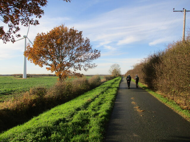
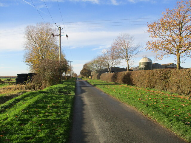
Barfhill Covert is a picturesque woodland located in Yorkshire, England. Nestled in the heart of the countryside, this enchanting forest is a popular destination for nature lovers and outdoor enthusiasts alike. Spanning over a vast area, Barfhill Covert is known for its diverse range of flora and fauna, making it a haven for wildlife.
The woodland is characterized by its dense canopy, which creates a cool and serene atmosphere. Towering oak, beech, and birch trees dominate the landscape, providing a stunning display of colors throughout the year. In spring, the forest floor comes alive with a vibrant carpet of bluebells, while autumn brings a tapestry of golden hues.
Visitors to Barfhill Covert can explore a network of well-maintained trails that wind their way through the forest. These paths offer stunning views of the surrounding countryside and provide a peaceful retreat for hikers, cyclists, and horse riders. The woodland also boasts a variety of wildlife habitats, including ponds, wetlands, and meadows, attracting a wide range of bird species, butterflies, and small mammals.
For those seeking a tranquil escape from the hustle and bustle of everyday life, Barfhill Covert offers numerous picnic spots, allowing visitors to relax and enjoy the natural beauty of the area. The woodland is also a popular spot for photography enthusiasts, who can capture the breathtaking scenery and capture glimpses of the local wildlife.
Overall, Barfhill Covert is a captivating woodland that showcases the beauty of Yorkshire's natural landscapes. Its rich biodiversity and peaceful ambiance make it a must-visit destination for nature enthusiasts and those looking to reconnect with nature.
If you have any feedback on the listing, please let us know in the comments section below.
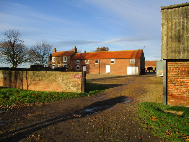
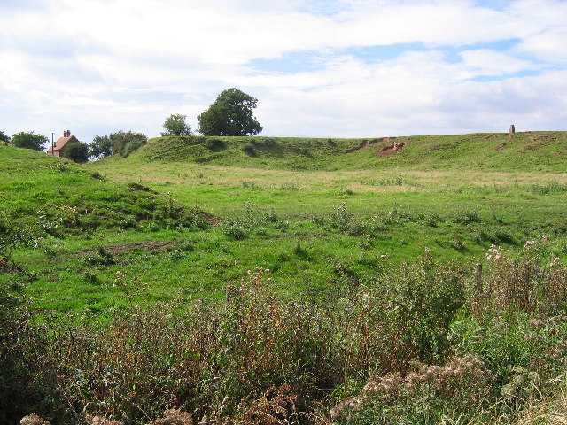
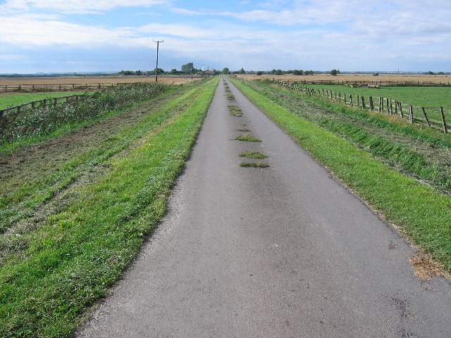
Barfhill Covert Images
Images are sourced within 2km of 53.913817/-0.41567225 or Grid Reference TA0447. Thanks to Geograph Open Source API. All images are credited.


Barfhill Covert is located at Grid Ref: TA0447 (Lat: 53.913817, Lng: -0.41567225)
Division: East Riding
Unitary Authority: East Riding of Yorkshire
Police Authority: Humberside
What 3 Words
///angle.fattest.weeds. Near Watton, East Yorkshire
Nearby Locations
Related Wikis

Wilfholme
Wilfholme is a hamlet in the East Riding of Yorkshire, England. It forms part of the civil parish of Beswick, and is situated just east from the A164 road...
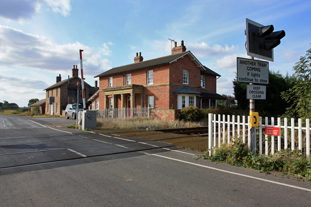
Lockington railway station
Lockington railway station was a minor station serving the village of Lockington, East Riding of Yorkshire, England. It was on the Hull to Scarborough...

Lockington rail crash
In Lockington, England on 26 July 1986, the 09:33 passenger train from Bridlington to Kingston upon Hull on the Hull to Scarborough Line struck a passenger...

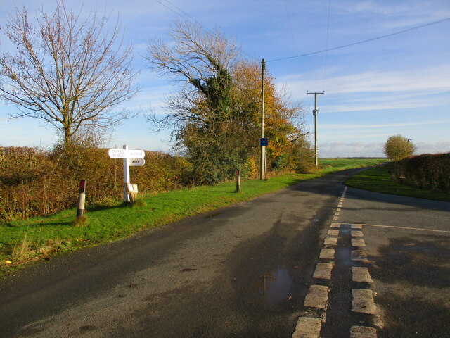
Aike
Aike ( ) is a hamlet and former civil parish, now in the parish of Lockington, in the East Riding of Yorkshire, England. The hamlet is centred around a...
Wilfholme Landing
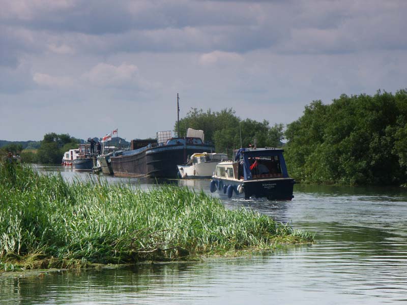
Wilfholme Landing is located on the Driffield Navigation in the East Riding of Yorkshire, England. The navigation is still tidal at this point, and is...
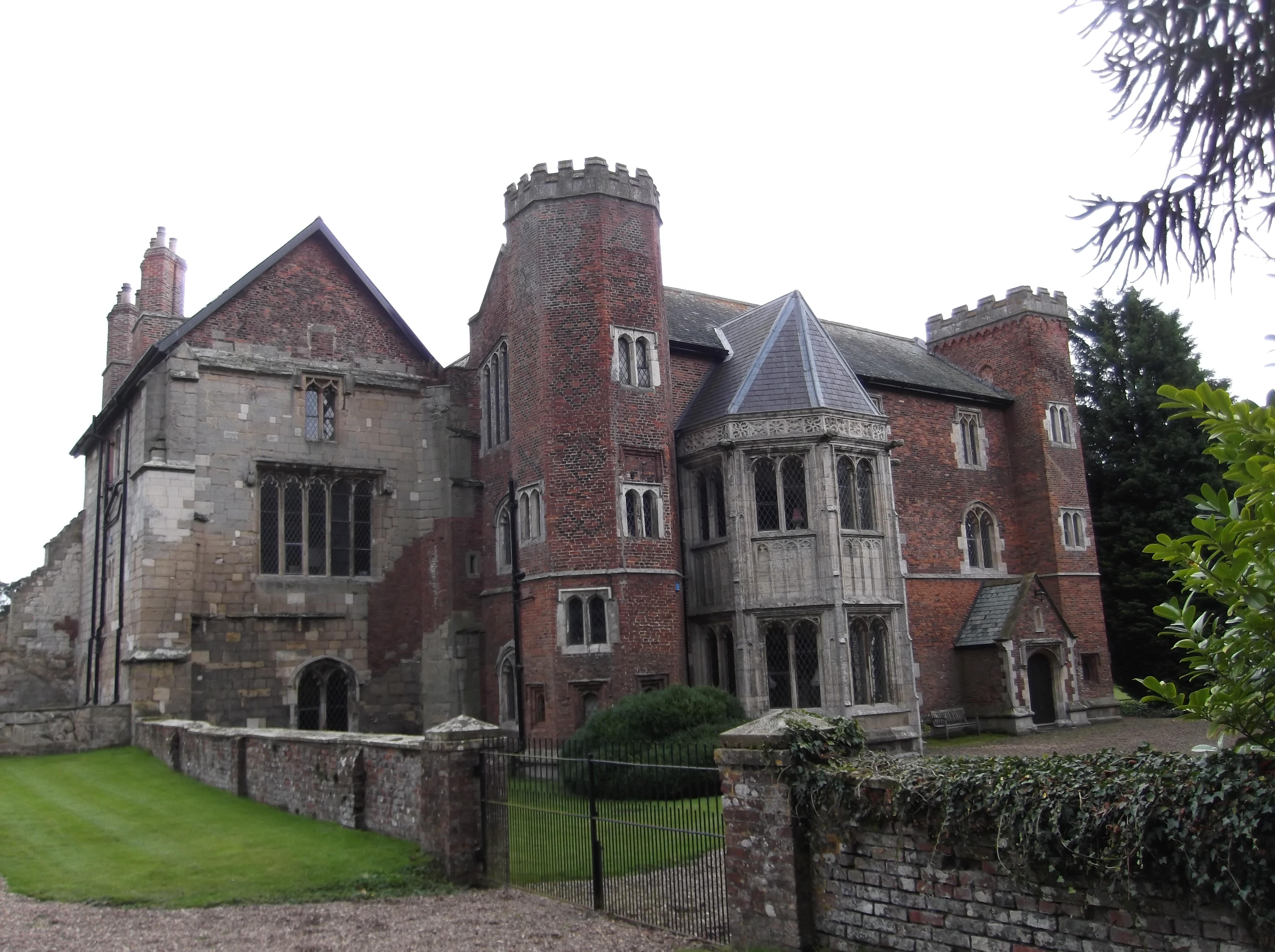
Watton Priory
Watton Priory was a priory of the Gilbertine Order at Watton in the East Riding of Yorkshire, England. The double monastery was founded in 1150 by Eustace...
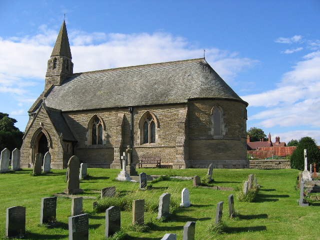
Beswick, East Riding of Yorkshire
Beswick () is a village and civil parish in the East Riding of Yorkshire, England. The village is situated on the A164 road, about 6 miles (10 km) north...

Tophill Low
Tophill Low is a nature reserve and Site of Special Scientific Interest (SSSI) in the East Riding of Yorkshire, England. The site is also an active water...
Nearby Amenities
Located within 500m of 53.913817,-0.41567225Have you been to Barfhill Covert?
Leave your review of Barfhill Covert below (or comments, questions and feedback).