Birchley Wood
Wood, Forest in Hertfordshire Dacorum
England
Birchley Wood
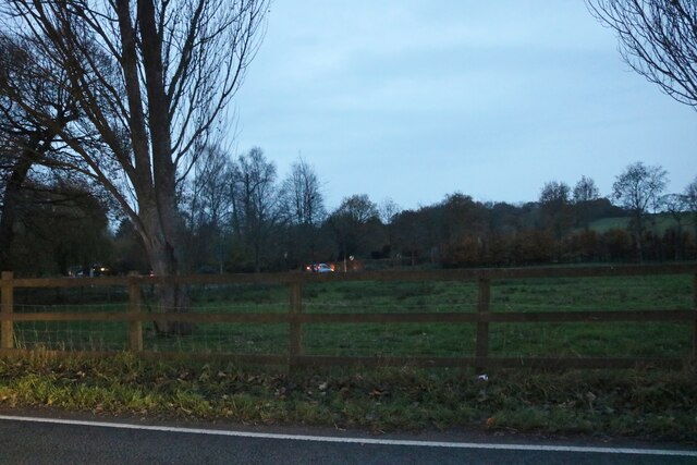
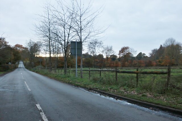
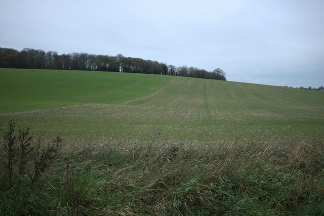
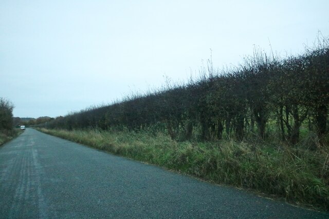
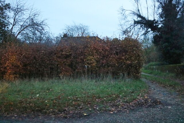
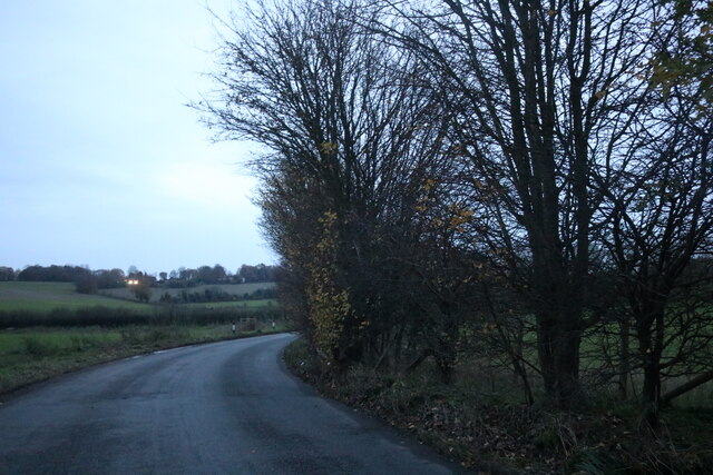
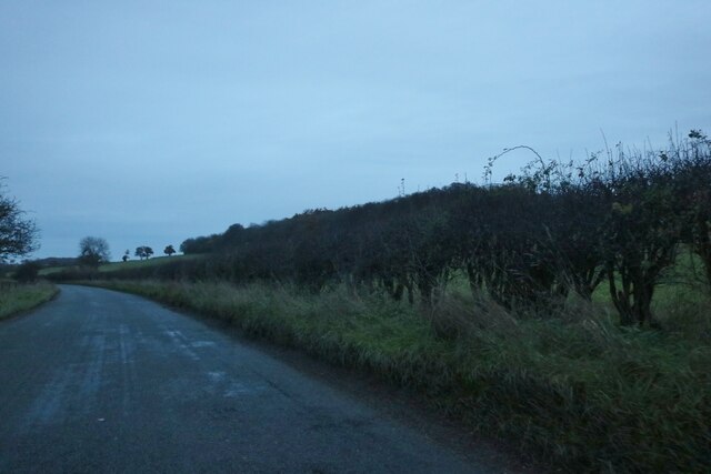
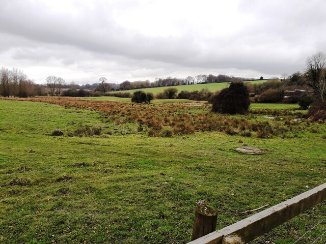
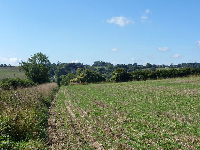
Birchley Wood is a picturesque woodland located in Hertfordshire, England. Stretching across an area of approximately 100 acres, it is a popular destination for nature lovers and outdoor enthusiasts. The wood is characterized by its dense population of birch trees, which give it its name and create a stunning landscape throughout the year.
The woodland is home to a diverse range of flora and fauna, including various species of birds, small mammals, and insects. Visitors can expect to encounter squirrels, rabbits, and a variety of woodland birds such as robins, tits, and finches. The wood is also home to several species of wildflowers, adding bursts of color to the scenery during the spring and summer months.
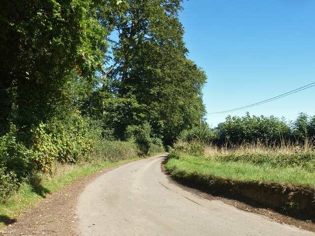
Birchley Wood offers a tranquil and peaceful atmosphere, making it an ideal place for relaxation and recreational activities. There are numerous walking trails and pathways that wind through the wood, allowing visitors to explore and appreciate the natural beauty of the surroundings. These paths are well-maintained and suitable for all levels of walkers, whether they are looking for a leisurely stroll or a more challenging hike.
The wood is easily accessible, with ample parking available nearby. It is a popular spot for families, dog walkers, and nature lovers, offering a serene escape from the hustle and bustle of daily life. Birchley Wood truly is a hidden gem in Hertfordshire, providing a haven of tranquility and natural beauty for all who visit.
If you have any feedback on the listing, please let us know in the comments section below.
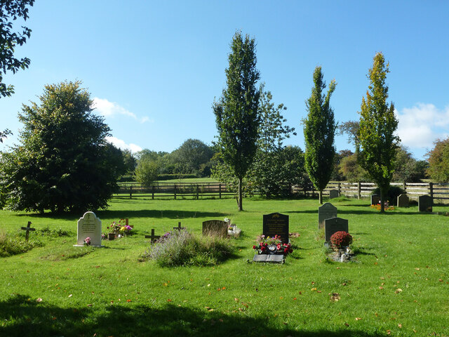
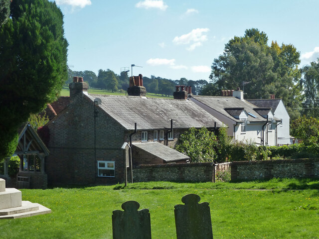
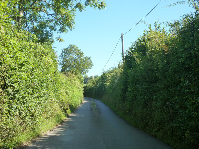
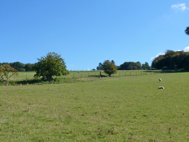
Birchley Wood Images
Images are sourced within 2km of 51.787612/-0.4926993 or Grid Reference TL0410. Thanks to Geograph Open Source API. All images are credited.
Birchley Wood is located at Grid Ref: TL0410 (Lat: 51.787612, Lng: -0.4926993)
Administrative County: Hertfordshire
District: Dacorum
Police Authority: Hertfordshire
What 3 Words
///closet.froze.noble. Near Hemel Hempstead, Hertfordshire
Nearby Locations
Related Wikis

Gaddesden Place
Gaddesden Place, near Hemel Hempstead in Hertfordshire, England, was designed by architect James Wyatt and built between 1768 and 1773, and was the home...
Great Gaddesden
Great Gaddesden is a village and civil parish in Dacorum Hundred in Hertfordshire, England. It is located in the Chiltern Hills, north of Hemel Hempstead...

Gaddesden Hall
Gaddesden Hall is a Grade II* listed manor house in Water End, Great Gaddesden, Hertfordshire, England. It was the manor-house for the manor of Southall...

Golden Parsonage
The Golden Parsonage is a Grade II* listed country house in Great Gaddesden, Hertfordshire, and is part of the Gaddesden Estate. The house remains in the...

The Hoo, Great Gaddesden
The Hoo is a Grade II* listed country house in Great Gaddesden, Hertfordshire, England. It dates from around 1683. In 1944 it was in use as a maternity...

Amaravati Buddhist Monastery
Amaravati is a Theravada Buddhist monastery at the eastern end of the Chiltern Hills in South East England. Established in 1984 by Ajahn Sumedho as an...

130–136 Piccotts End
130–136 Piccotts End is a medieval timber framed building in Piccotts End in Hertfordshire, England. Originally a hall house, the structure has been divided...

Piccotts End
Piccotts End is a village in Hertfordshire, England situated on the upper River Gade. While often mistaken for a hamlet, it became a village when its church...
Nearby Amenities
Located within 500m of 51.787612,-0.4926993Have you been to Birchley Wood?
Leave your review of Birchley Wood below (or comments, questions and feedback).