Blackheath

Wood, Forest in Surrey Waverley

England

Blackheath

Rhododendrons by the roadside, Farley Heath, near Guildford Rhododendrons in bloom alongside Farley Heath Road in Surrey.  This road forms part of route 22 of the National Cycle Network.
Rhododendrons by the roadside, Farley Heath, near Guildford Credit: Malc McDonald

Blackheath, Surrey, also known as Blackheath Wood or Blackheath Forest, is a picturesque area located in the county of Surrey, England. It is situated in the southeast of the county, near the border with Greater London. Spanning an area of approximately 250 acres, Blackheath is a thriving woodland that offers a tranquil escape from the hustle and bustle of city life.

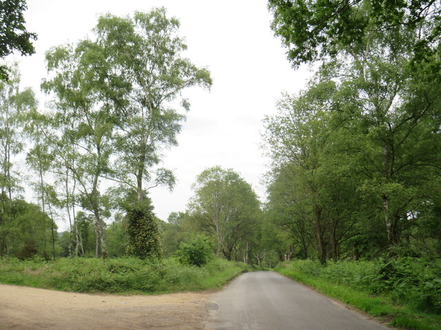
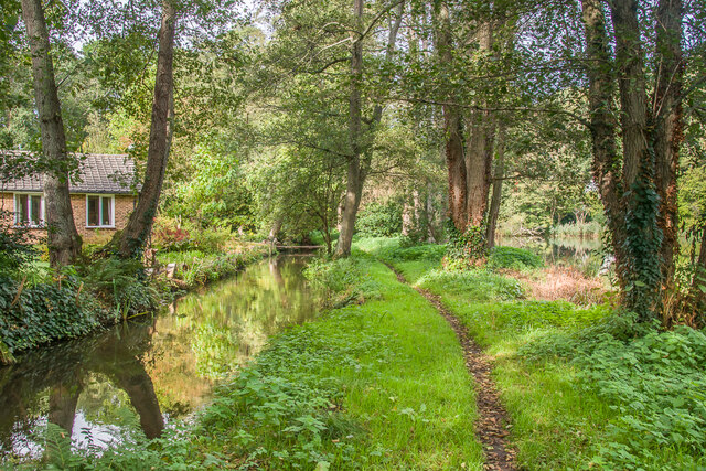
The forest is characterized by its dense tree cover, primarily consisting of oak and birch trees, which provide a rich habitat for a variety of wildlife. Visitors to Blackheath can often spot deer, foxes, and a wide array of bird species, making it a popular destination for nature enthusiasts and wildlife photographers.

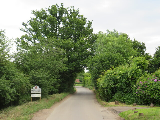
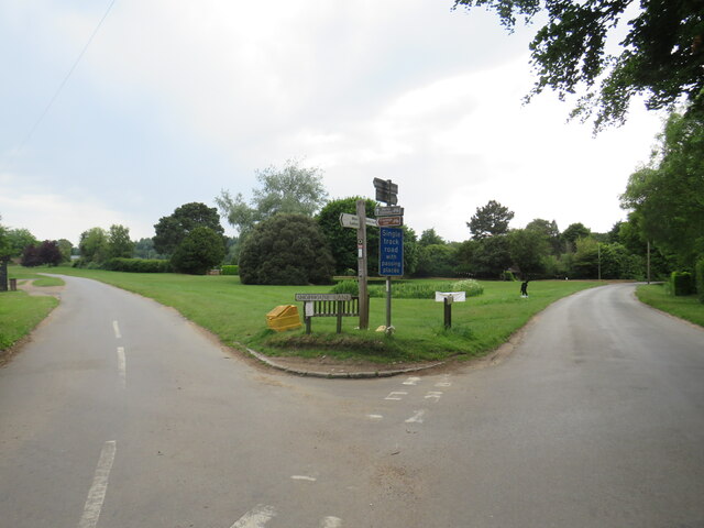
Blackheath is also renowned for its scenic beauty, with its rolling hills and picturesque views. The forest is crisscrossed by a network of well-maintained footpaths, allowing visitors to explore the area and take in the stunning vistas. It is a popular spot for hiking, jogging, and horse riding, attracting outdoor enthusiasts from far and wide.

The forest is managed by the Surrey Wildlife Trust, which works to preserve and protect the natural beauty and biodiversity of the area. They organize regular educational and recreational events, such as guided nature walks and conservation workshops, to engage the local community and raise awareness about the importance of preserving this unique habitat.

Overall, Blackheath, Surrey, offers a peaceful retreat for those seeking a connection with nature. Its lush woodland, diverse wildlife, and breathtaking views make it a hidden gem in the heart of Surrey.

If you have any feedback on the listing, please let us know in the comments section below.
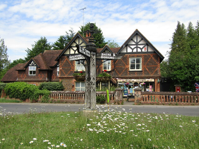
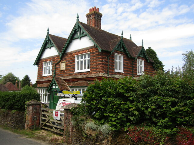
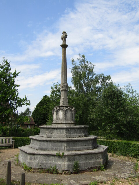
Blackheath Images

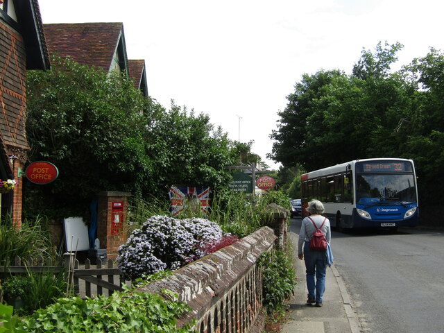
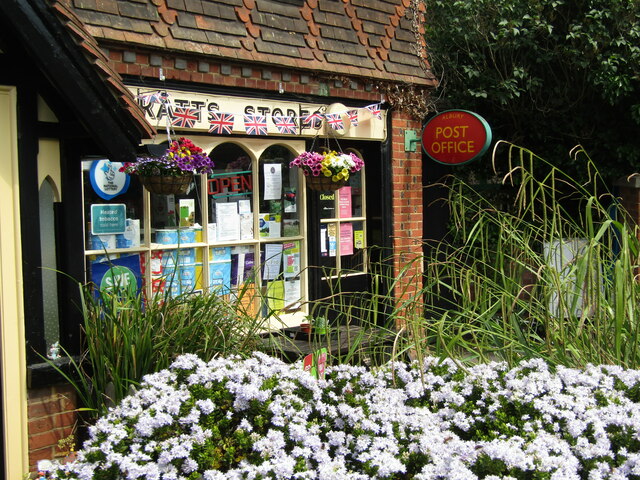
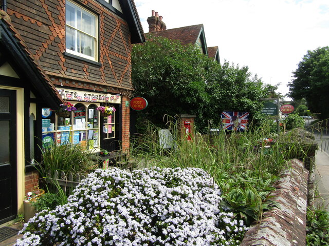
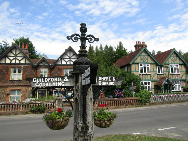
Images are sourced within 2km of 51.203947/-0.51231511 or Grid Reference TQ0446. Thanks to Geograph Open Source API. All images are credited.

Rhododendrons by the roadside, Farley Heath, near Guildford Rhododendrons in bloom alongside Farley Heath Road in Surrey.  This road forms part of route 22 of the National Cycle Network.
Rhododendrons by the roadside, Farley Heath, near Guildford
Rhododendrons in bloom alongside Farley Heath Road in Surrey. This road forms part of route 22 of the National Cycle Network.
Farley Heath Road, near Farley Green Farley Heath Road is a minor road passing through Surrey countryside.  It is on route 22 of the National Cycle Network
Farley Heath Road, near Farley Green
Farley Heath Road is a minor road passing through Surrey countryside. It is on route 22 of the National Cycle Network
August Lane, Farley Green August Lane entering the small hamlet of Farley Green in Surrey.  This road is on route 22 of the National Cycle Network.
August Lane, Farley Green
August Lane entering the small hamlet of Farley Green in Surrey. This road is on route 22 of the National Cycle Network.
Road junction at Farley Green A road junction in the Surrey hamlet of Farley Green.  The road to the right is on route 22 of the National Cycle Network.
Road junction at Farley Green
A road junction in the Surrey hamlet of Farley Green. The road to the right is on route 22 of the National Cycle Network.
Caravan park entrance, Farley Green, near Guildford The entrance to Edgeley caravan park in the Surrey countryside.
Caravan park entrance, Farley Green, near Guildford
The entrance to Edgeley caravan park in the Surrey countryside.
Albury - Village Centre A narrow pavement outside Albury's post office with a Stagecoach bus (Route 32) passing by on its hourly service from Redhill to Guildford.
Albury - Village Centre
A narrow pavement outside Albury's post office with a Stagecoach bus (Route 32) passing by on its hourly service from Redhill to Guildford.
Albury - Post Office The village post office cohabits with Pratt's Stores. Note the flags are out to commemorate the Queen's Platinum Jubilee (2022).
Albury - Post Office
The village post office cohabits with Pratt's Stores. Note the flags are out to commemorate the Queen's Platinum Jubilee (2022).
Albury - Pratt's Stores The village stores shares its premises with the Post Office. Note the flags commemorating the Queen's Platinum Jubilee (1952-2022).
Albury - Pratt's Stores
The village stores shares its premises with the Post Office. Note the flags commemorating the Queen's Platinum Jubilee (1952-2022).
Albury - Signpost Ornate wooden signpost at a tripoint showing the roads to Guildford, Dorking and Albury Church.
Albury - Signpost
Ornate wooden signpost at a tripoint showing the roads to Guildford, Dorking and Albury Church.
Albury - Signpost Ornate wooden signpost at the tripoint outside the village post office and stores. The post points out the ways to Guildford, Albury Church and to Dorking.
Note the tile-hung cottage with diamond patterning.
Albury - Signpost
Ornate wooden signpost at the tripoint outside the village post office and stores. The post points out the ways to Guildford, Albury Church and to Dorking. Note the tile-hung cottage with diamond patterning.
Albury - Estate Cottage Attractive late-Victorian tile-hung cottage in characteristic green livery of the Albury Estate.
Albury - Estate Cottage
Attractive late-Victorian tile-hung cottage in characteristic green livery of the Albury Estate.
Albury - War Memorial Sited on the lane facing the parish church.
Albury - War Memorial
Sited on the lane facing the parish church.
Woodside, Albury Heath A suitably named house, a bit isolated apart from passing trains.
Woodside, Albury Heath
A suitably named house, a bit isolated apart from passing trains.
Kiln Rough, Albury This looks like fairly low quality grassland, which may explain the "Rough" in the name. Clay at the base of the chalk, plus timber for firing, may explain the "Kiln." 
Just a guess.
Kiln Rough, Albury
This looks like fairly low quality grassland, which may explain the "Rough" in the name. Clay at the base of the chalk, plus timber for firing, may explain the "Kiln." Just a guess.
Waterloo Pond Pond alongside the River Tillingbourne.  The house in the background is Swan Cottage.
Waterloo Pond
Pond alongside the River Tillingbourne. The house in the background is Swan Cottage.
Swan Cottage House alongside Waterloo Pond.  The smoke is from a bonfire in the garden.
Swan Cottage
House alongside Waterloo Pond. The smoke is from a bonfire in the garden.
River Tillingbourne The River Tillingbourne as it passes Waterloo Pond (just visible on the right of the photo).
River Tillingbourne
The River Tillingbourne as it passes Waterloo Pond (just visible on the right of the photo).
Tangley House Office building dating from 1996 fronting Postford Pond.  Proposals are currently being considered for its conversion to housing.
Tangley House
Office building dating from 1996 fronting Postford Pond. Proposals are currently being considered for its conversion to housing.
Show me another place!

Blackheath is located at Grid Ref: TQ0446 (Lat: 51.203947, Lng: -0.51231511)

Administrative County: Surrey

District: Waverley

Police Authority: Surrey

What 3 Words

///swanky.vintages.serve. Near Chilworth, Surrey

Related Wikis

Blackheath Common

Blackheath Common is an area of 250 acres (100 ha) of heathland in Surrey, England, near the village of Albury in the borough of Waverley. It is part of...

Blackheath SSSI, Surrey

Blackheath is a 141.6-hectare (350-acre) biological Site of Special Scientific Interest south-east of Guildford in Surrey.This area of dry lowland heath...

Hundred of Blackheath, Surrey

Blackheath Hundred or the Hundred of Blackheath was a hundred in the county of Surrey, England. It corresponds to parts of the districts of Waverley and...

Surrey Hills AONB

The Surrey Hills is a 422 km2 (163 sq mi) Area of Outstanding Natural Beauty (AONB) in Surrey, England, which principally covers parts of the North Downs...

St Augustine's Abbey, Chilworth

St Augustine's Abbey or Chilworth Abbey, formerly Chilworth Friary, is a Roman Catholic Benedictine abbey in Chilworth, Surrey. The building, which is...

Chilworth railway station

Chilworth railway station serves the village of Chilworth, Surrey, England. The station, and all trains serving it, are operated by the Great Western Railway...

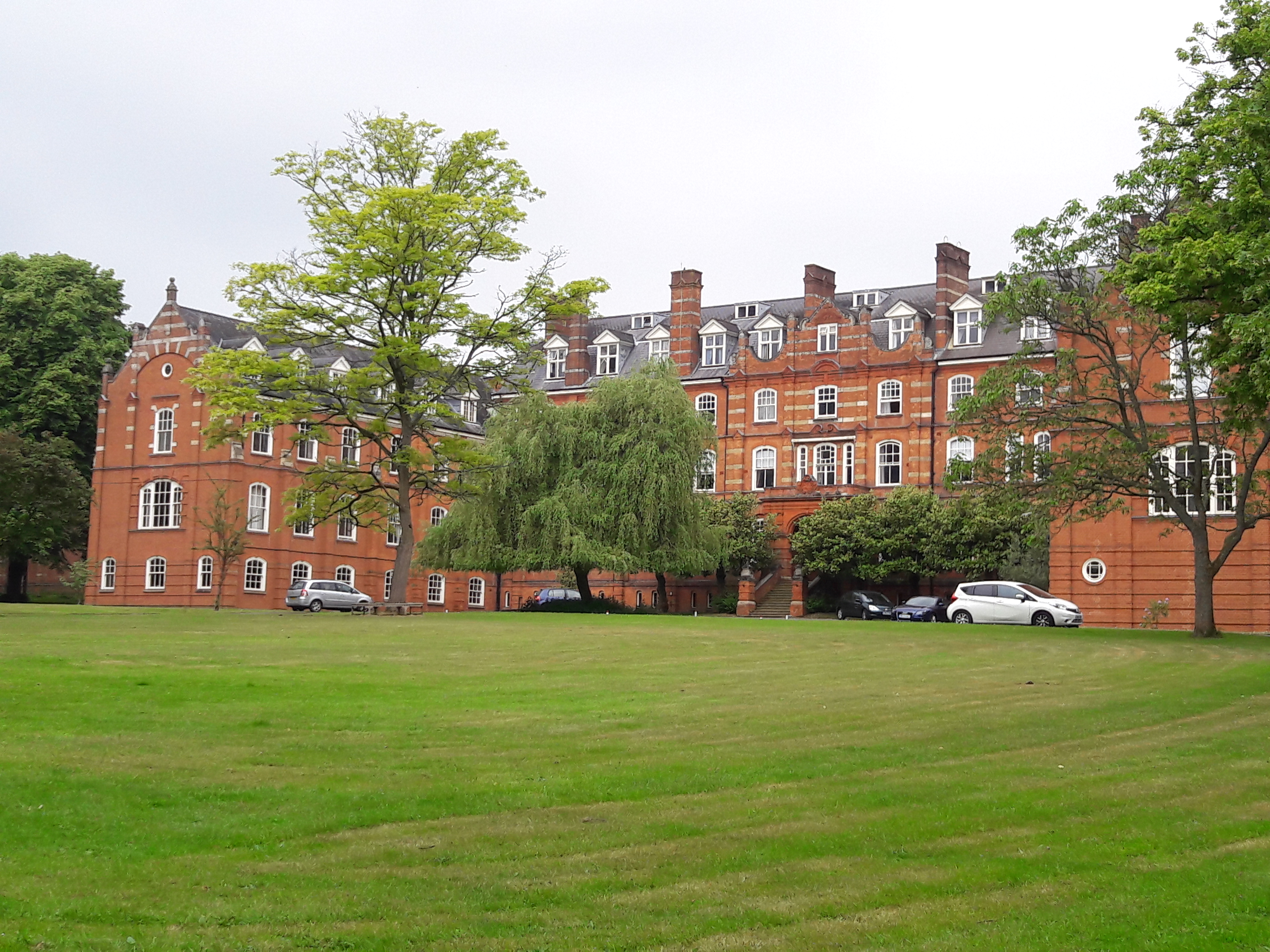
St John's Seminary, Wonersh

St John's Seminary was a Roman Catholic seminary located at Wonersh near Guildford in Surrey, in the Diocese of Arundel and Brighton, United Kingdom. St...

Albury, Surrey

Albury is a village and civil parish in central Surrey, England, around 3.5 miles (5.6 km) east of Guildford. It is in the Surrey Hills Area of Outstanding...

Nearby Amenities

Located within 500m of 51.203947,-0.51231511
Blackheath Common
Leisure: common
Source: photo
Wikidata: Q4922992
Wikipedia: en:Blackheath Common
Lat/Long: 51.2037348/-0.5194736
Bench
Ele: 26.000
Lat/Long: 51.2008357/-0.5126903
Created By: Merkaartor 0.13
Lat/Long: 51.2046769/-0.5115143
Created By: Merkaartor 0.13
Lat/Long: 51.2048168/-0.5113855
Bench
Backrest: no
Lat/Long: 51.2054782/-0.514516
Bench
Backrest: yes
Seats: 3
Source: gps
Lat/Long: 51.2047458/-0.5189216
Bench
Backrest: yes
Seats: 3
Source: gps
Lat/Long: 51.2049458/-0.5190638
The data included in this document is from www.openstreetmap.org. The data is made available under ODbL.

Have you been to Blackheath?

Leave your review of Blackheath below (or comments, questions and feedback).