Sweatinghouse Plantation
Wood, Forest in Lincolnshire North Kesteven
England
Sweatinghouse Plantation
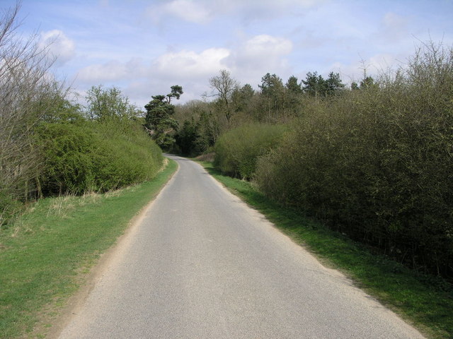
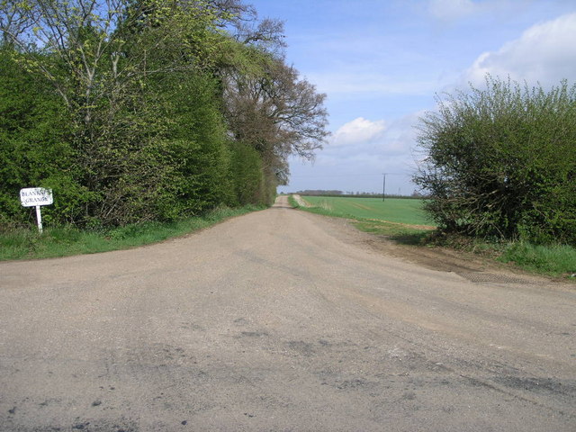
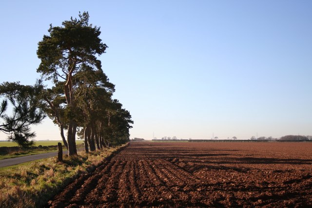
Sweatinghouse Plantation is a picturesque woodland area located in Lincolnshire, England. Nestled within the county's stunning landscape, this plantation is renowned for its natural beauty and diverse flora and fauna.
Covering a vast area of approximately 500 acres, Sweatinghouse Plantation is predominantly composed of deciduous trees, creating a rich and vibrant ecosystem. The plantation is home to a variety of tree species, including oak, beech, and birch, which provide a haven for numerous bird species, small mammals, and insects.
Visitors to Sweatinghouse Plantation are greeted by a network of well-maintained walking trails, allowing them to explore and immerse themselves in the tranquil surroundings. The trails wind through the plantation, offering breathtaking views of the woodland and its inhabitants.
The plantation is carefully managed to ensure the preservation of its natural environment. Conservation efforts are in place to protect the diverse wildlife and promote sustainable practices. Sweatinghouse Plantation also serves as an educational site, offering guided tours and workshops to promote environmental awareness and appreciation of the natural world.
Throughout the year, the plantation hosts various events and activities for visitors of all ages. These include guided nature walks, birdwatching sessions, and educational workshops on woodland management and conservation.
Sweatinghouse Plantation, with its serene atmosphere and abundant wildlife, provides a perfect escape from the hustle and bustle of everyday life. It is a cherished natural gem in Lincolnshire, offering a unique and enriching experience for nature enthusiasts and those seeking solace in the beauty of the great outdoors.
If you have any feedback on the listing, please let us know in the comments section below.
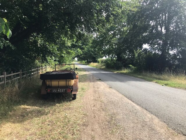
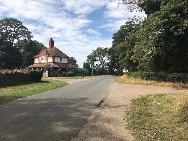
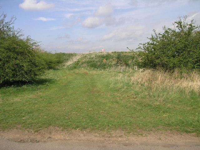
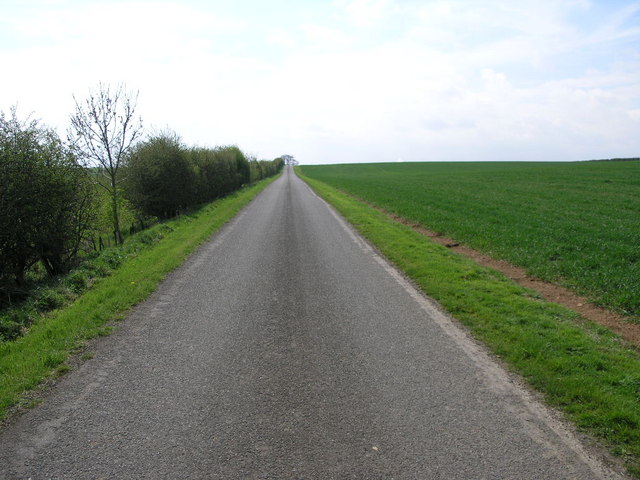
Sweatinghouse Plantation Images
Images are sourced within 2km of 53.122223/-0.44723407 or Grid Reference TF0459. Thanks to Geograph Open Source API. All images are credited.


Sweatinghouse Plantation is located at Grid Ref: TF0459 (Lat: 53.122223, Lng: -0.44723407)
Administrative County: Lincolnshire
District: North Kesteven
Police Authority: Lincolnshire
What 3 Words
///helm.concluded.backdrop. Near Metheringham, Lincolnshire
Nearby Locations
Related Wikis
Blankney
Blankney is a village and civil parish in the North Kesteven district of Lincolnshire, England. The population of the civil parish at the 2011 census was...
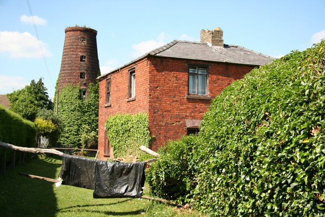
Metheringham Windmill
Metheringham Windmill, locally known as The Old Meg Flour Mill, was a six-storeyed, six-sailed, and tarred slender Lincolnshire type windmill with the...

Scopwick
Scopwick is a small village and civil parish in the district of North Kesteven, Lincolnshire, England, situated 6 miles (9.7 km) south from Lincoln. The...

Metheringham
Metheringham is a village and civil parish in the North Kesteven district of Lincolnshire, England. The population of the civil parish at the 2011 census...
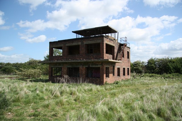
RAF Coleby Grange
Royal Air Force Coleby Grange or more simply RAF Coleby Grange was a Royal Air Force satellite station situated alongside the western edge of the A15 on...

RAF Digby
Royal Air Force Digby otherwise known as RAF Digby is a Royal Air Force station located near Scopwick and 11.6 mi (18.7 km) south east of Lincoln, in Lincolnshire...

Nocton Dairies controversy
Nocton Dairies is a British company which was formed by Devon farmer and cheese-maker Peter Willes and Lancashire milk producer David Barnes in order to...

Lincolnshire potato railways
The Lincolnshire potato railways were a network of private, 1 ft 11+1⁄2 in (597 mm) narrow gauge farm railways which existed in the English county of Lincolnshire...
Nearby Amenities
Located within 500m of 53.122223,-0.44723407Have you been to Sweatinghouse Plantation?
Leave your review of Sweatinghouse Plantation below (or comments, questions and feedback).