Cucknells Wood
Wood, Forest in Surrey Waverley
England
Cucknells Wood
Cucknells Wood is a picturesque woodland located in the county of Surrey, England. Situated in the southeast of the country, it covers an area of approximately 100 acres and is part of the larger Surrey Hills Area of Outstanding Natural Beauty.
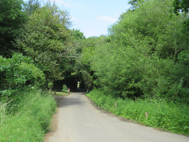
The wood is characterized by its dense and ancient oak trees, which provide a dense canopy overhead, creating a cool and shaded atmosphere. The forest floor is covered in a thick carpet of mosses, ferns, and wildflowers, lending a vibrant and colorful touch to the woodland.
Cucknells Wood is a haven for wildlife enthusiasts, as it is home to a diverse range of flora and fauna. Various species of birds, including woodpeckers, owls, and thrushes, can be spotted amongst the treetops, while mammals such as deer, foxes, and rabbits roam the forest floor. The woodland is also known for its rich insect life, with butterflies, beetles, and dragonflies fluttering around.
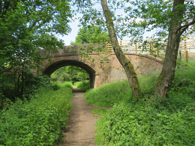
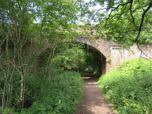
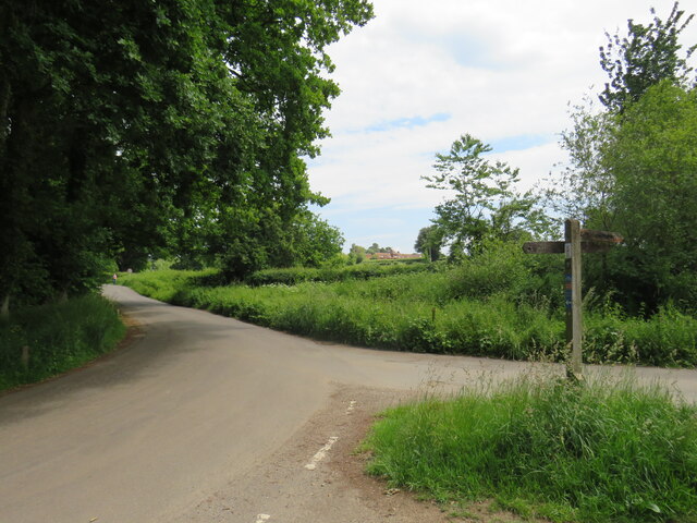
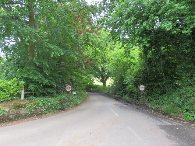
The wood offers several trails and footpaths, allowing visitors to explore its natural beauty. These paths wind through the ancient trees, offering glimpses of stunning views and secluded clearings. The tranquil environment makes it a popular spot for nature walks, picnics, and photography.
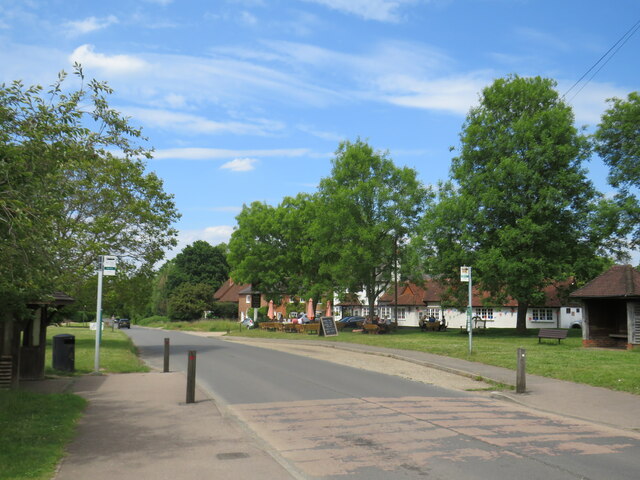
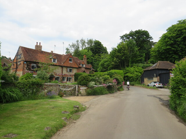
Cucknells Wood is easily accessible, located near the village of Shere, just a short drive from Guildford. With its serene atmosphere and diverse wildlife, it provides a peaceful retreat for nature lovers and a beautiful example of Surrey's natural heritage.
If you have any feedback on the listing, please let us know in the comments section below.
Cucknells Wood Images
Images are sourced within 2km of 51.179335/-0.51515333 or Grid Reference TQ0343. Thanks to Geograph Open Source API. All images are credited.


Cucknells Wood is located at Grid Ref: TQ0343 (Lat: 51.179335, Lng: -0.51515333)
Administrative County: Surrey
District: Waverley
Police Authority: Surrey
What 3 Words
///hardens.regard.trickling. Near Bramley, Surrey
Nearby Locations
Related Wikis

Cucknell's Wood
Cucknell's Wood is a 11-hectare (27-acre) nature reserve south-east of Shamley Green in Surrey. It is managed by the Surrey Wildlife Trust.Birds in this...

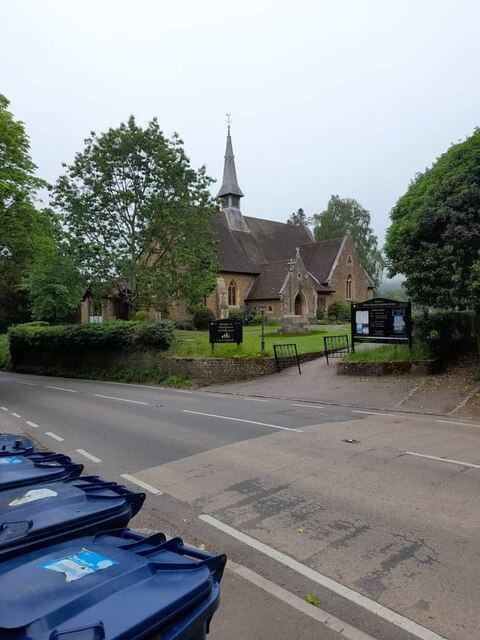
Christ Church, Shamley Green
Christ Church is a Church of England parish church in Shamley Green, Surrey, England. It was constructed in 1863 as a chapel of ease and became a parish...
St John's Seminary, Wonersh
St John's Seminary was a Roman Catholic seminary located at Wonersh near Guildford in Surrey, in the Diocese of Arundel and Brighton, United Kingdom. St...

Surrey Hills AONB
The Surrey Hills is a 422 km2 (163 sq mi) Area of Outstanding Natural Beauty (AONB) in Surrey, England, which principally covers parts of the North Downs...

Blackheath SSSI, Surrey
Blackheath is a 141.6-hectare (350-acre) biological Site of Special Scientific Interest south-east of Guildford in Surrey.This area of dry lowland heath...

Blackheath Common
Blackheath Common is an area of 250 acres (100 ha) of heathland in Surrey, England, near the village of Albury in the borough of Waverley. It is part of...

Farley Green, Surrey
Farley Green is a small hamlet of Albury in the Greensand Ridge where it forms the south of the Surrey Hills AONB, to the south east of Guildford. �...
Hundred of Blackheath, Surrey
Blackheath Hundred or the Hundred of Blackheath was a hundred in the county of Surrey, England. It corresponds to parts of the districts of Waverley and...
Related Videos

Брамли, Англия (Bramley) Поход №21
Брэмли это деревня, примерно в трех милях к югу от Гилфорда в городке Уэверли в Суррее, на юго-востоке Англии.

WHAT I EAT IN A DAY : FISHING EDITION / Willinghurst Fishery
What I eat in a day @ fishing vlog / willinghurst fishery. Easter bank holiday weekend 2022. SUBSCRIBE,LIKE AND TURN ON ...

Birtley Road, Bramley, Guildford
For full details please visit www.clarkegammon.co.uk.

Essence and Place - Virtual Tour
Essence and Place is British artist Grace Ellen's first gallery solo show and is being held at No Naked Walls Gallery in Bramley, ...
Nearby Amenities
Located within 500m of 51.179335,-0.51515333Have you been to Cucknells Wood?
Leave your review of Cucknells Wood below (or comments, questions and feedback).