Catstail Wood

Wood, Forest in Hertfordshire Dacorum

England

Catstail Wood

Field by Leighton Buzzard Road, Water End
Field by Leighton Buzzard Road, Water End Credit: David Howard

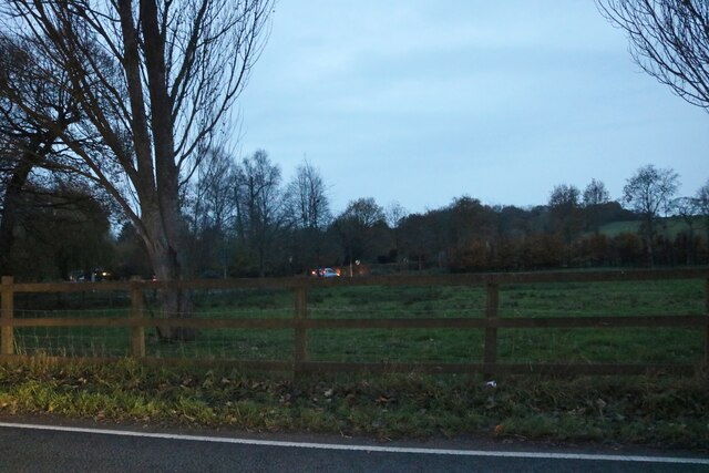
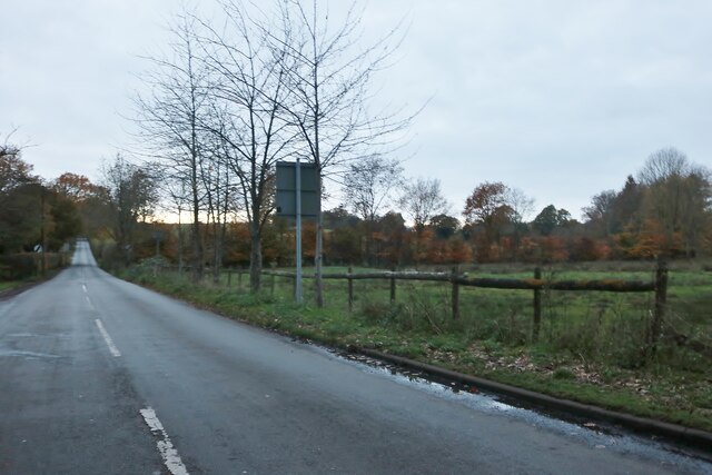
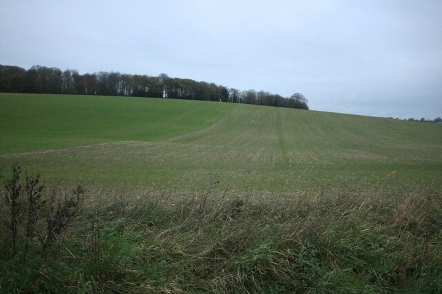
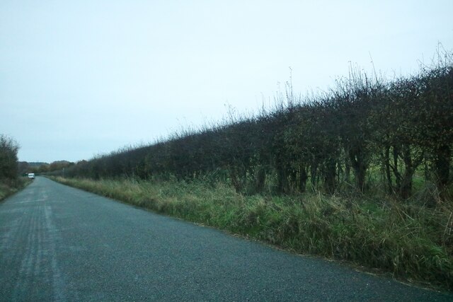
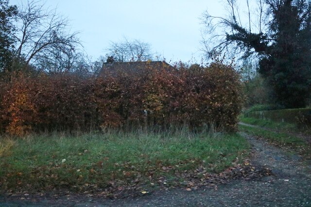
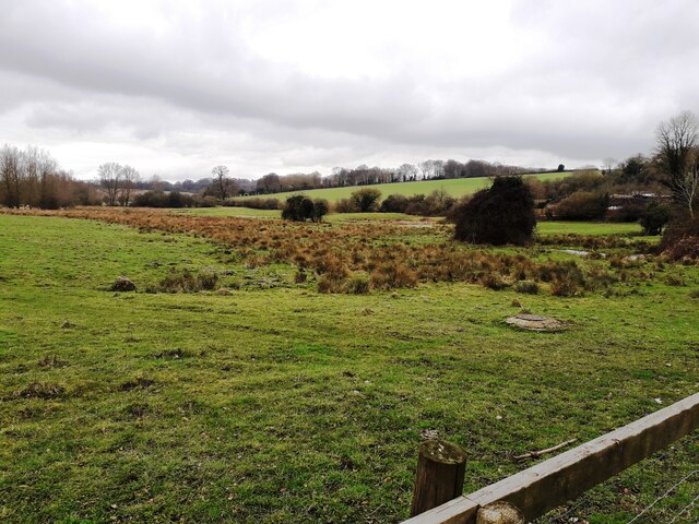
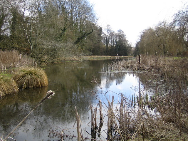
Catstail Wood is a picturesque woodland located in Hertfordshire, England. Covering an area of approximately 50 acres, this wood is known for its natural beauty and diverse ecosystem. It is situated on the outskirts of a small village, surrounded by rolling hills and meadows.

The wood is predominantly made up of deciduous trees, such as oak, beech, and ash, which create a dense canopy overhead. This provides a sheltered environment for a wide variety of wildlife, including birds, mammals, and insects. The forest floor is covered in a thick layer of leaf litter, creating a habitat for numerous small mammals and invertebrates.

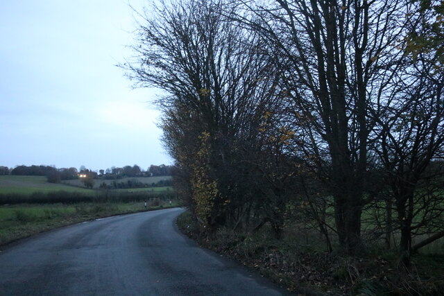
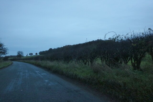
A network of well-maintained footpaths allows visitors to explore the wood at their own pace. These paths wind through the trees, offering glimpses of sunlight filtering through the canopy and providing a peaceful and tranquil atmosphere. In spring, the woodland floor is carpeted with bluebells, creating a breathtaking sight and attracting many nature enthusiasts.

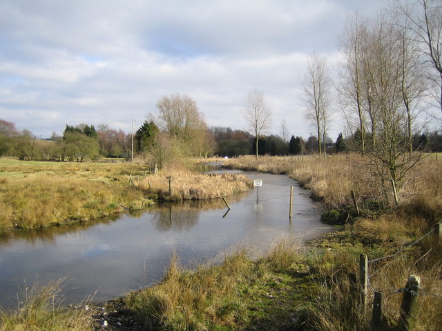
Catstail Wood is also home to a small stream that meanders through the wood, adding to its charm and attracting a range of aquatic life. The babbling sound of the water enhances the peaceful ambiance of the wood.

The wood is a popular destination for nature lovers, hikers, and families seeking a tranquil retreat away from the bustle of urban life. It offers a place for quiet reflection, wildlife observation, and leisurely walks in a beautiful natural setting. Catstail Wood truly provides a haven for both nature and humans alike.

If you have any feedback on the listing, please let us know in the comments section below.

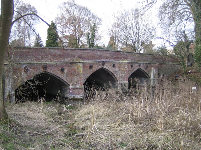
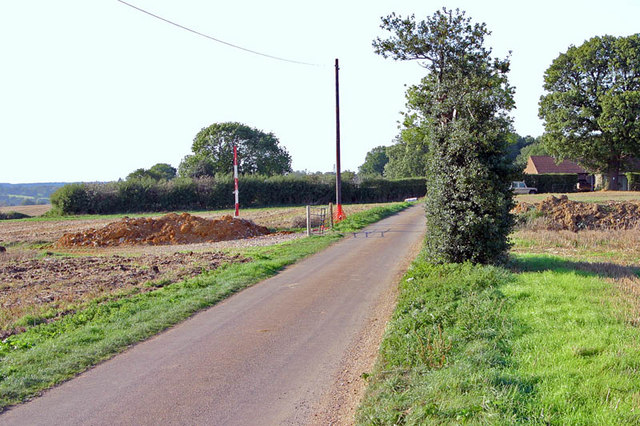
Catstail Wood Images

Images are sourced within 2km of 51.772417/-0.49706089 or Grid Reference TL0309. Thanks to Geograph Open Source API. All images are credited.

Field by Leighton Buzzard Road, Water End
Potten End Hill, Water End
Field in Water End Looking towards Highpark Wood.
Field in Water End
Looking towards Highpark Wood.
Nettleden Road, Water End
Hidden house on Nettleden Road, Water End
Nettleden Road
Nettleden Road
Nettleden Road
Nettleden Road
The Red Lion Pub, Leighton Buzzard Road
The Gade Valley A view down the Gade valley from Pipers Hill in Great Gaddesden.
The Gade Valley
A view down the Gade valley from Pipers Hill in Great Gaddesden.
Wood Farm  off Dodds Lane High hedges prevented me seeing more of the farmhouse
Wood Farm off Dodds Lane
High hedges prevented me seeing more of the farmhouse
Wood Farm  Machinery Why do farmers like to scatter their equipment about in random fashion
Wood Farm Machinery
Why do farmers like to scatter their equipment about in random fashion
River Gade and the A4146 road bridge at Water End Viewed looking northwards and upstream.

The bridge is a Grade II Listed Structure and the Historic England website describes it thus:-

"Circa 1800 when road realigned, widened on E side (not the side in this photograph) 1976 by Herts County Council. Red brick in English-bond with stone dressings. A humped bridge in medieval style of 3 pointed arches each of 20ft span with 4 stone-capped cutwaters linked by a moulded string course. Deep-chamfered brick rib to soffit a little inside front arch. Chamfered stone dressing to plinths from which arches spring, linked by weir under bridge and marking water level on reconstructed upstream face. Moulded stone cappings to brick parapets splayed at ends and terminated by octagonal brick piers."
River Gade and the A4146 road bridge at Water End
Viewed looking northwards and upstream. The bridge is a Grade II Listed Structure and the Historic England website describes it thus:- "Circa 1800 when road realigned, widened on E side (not the side in this photograph) 1976 by Herts County Council. Red brick in English-bond with stone dressings. A humped bridge in medieval style of 3 pointed arches each of 20ft span with 4 stone-capped cutwaters linked by a moulded string course. Deep-chamfered brick rib to soffit a little inside front arch. Chamfered stone dressing to plinths from which arches spring, linked by weir under bridge and marking water level on reconstructed upstream face. Moulded stone cappings to brick parapets splayed at ends and terminated by octagonal brick piers."
River Gade at Water End Viewed looking south eastwards and downstream.
River Gade at Water End
Viewed looking south eastwards and downstream.
River Gade at Water End Viewed looking southwards and downstream, this view is in the opposite direction to <a href="https://www.geograph.org.uk/photo/139753">TL0410 : River Gade and the A4146 road bridge at Water End</a>
River Gade at Water End
Viewed looking southwards and downstream, this view is in the opposite direction to TL0410 : River Gade and the A4146 road bridge at Water End
River Gade and the A4146 road bridge at Water End Very similar in design to the other road bridge over the Gade in Water End,  <a href="https://www.geograph.org.uk/photo/139753">TL0410 : River Gade and the A4146 road bridge at Water End</a> but about 500 metres upstream of it, this is the downstream face. 

The bridge is a Grade II Listed Structure and the Historic England website describes it thus:-

"Circa 1800 when road realigned, restored and parapet raised 2 courses 1976 by Herts County Council. Red brick with random black headers in English-bond with stone string courses and copings to parapet. A long narrow bridge, slightly humped to centre, of 3 pointed arches, 4 brick cutwaters, and brick parapets splaying out at ends and terminating in octagonal brick piers. The bridge has not been widened and differs from the widened South Bridge (q.v.) in having brick cappings to the cutwaters and having its moulded stone string at road level extended along the abutment walls to the terminal piers. It also has 3 moulded circular cast iron tie-rod plates over each arch. There is a chamfered brick rib just within the mouth of each arch. A chamfered stone offset to the plinth provides the springing for the arches. Plinths linked by a weir near the upstream side where water level is just below this stone offset."
River Gade and the A4146 road bridge at Water End
Very similar in design to the other road bridge over the Gade in Water End, TL0410 : River Gade and the A4146 road bridge at Water End but about 500 metres upstream of it, this is the downstream face. The bridge is a Grade II Listed Structure and the Historic England website describes it thus:- "Circa 1800 when road realigned, restored and parapet raised 2 courses 1976 by Herts County Council. Red brick with random black headers in English-bond with stone string courses and copings to parapet. A long narrow bridge, slightly humped to centre, of 3 pointed arches, 4 brick cutwaters, and brick parapets splaying out at ends and terminating in octagonal brick piers. The bridge has not been widened and differs from the widened South Bridge (q.v.) in having brick cappings to the cutwaters and having its moulded stone string at road level extended along the abutment walls to the terminal piers. It also has 3 moulded circular cast iron tie-rod plates over each arch. There is a chamfered brick rib just within the mouth of each arch. A chamfered stone offset to the plinth provides the springing for the arches. Plinths linked by a weir near the upstream side where water level is just below this stone offset."
Crown & Sceptre Public House, Bridens Camp 
Nice food and great beer.
Crown & Sceptre Public House, Bridens Camp
Nice food and great beer.
Victorian Post Box, Bridens Camp 
Just the job for any Victorian Post.
Victorian Post Box, Bridens Camp
Just the job for any Victorian Post.
Wood Farm Wood Farm enjoys a lofty position high above the valley. However, behind the photographer's position, is one of the large Housing Estate's which make up Hemel Hempstead.
Wood Farm
Wood Farm enjoys a lofty position high above the valley. However, behind the photographer's position, is one of the large Housing Estate's which make up Hemel Hempstead.
Show me another place!

Catstail Wood is located at Grid Ref: TL0309 (Lat: 51.772417, Lng: -0.49706089)

Administrative County: Hertfordshire

District: Dacorum

Police Authority: Hertfordshire

What 3 Words

///heats.slams.gold. Near Hemel Hempstead, Hertfordshire

Related Wikis

Gaddesden Hall

Gaddesden Hall is a Grade II* listed manor house in Water End, Great Gaddesden, Hertfordshire, England. It was the manor-house for the manor of Southall...

Gadebridge

Gadebridge is a district of Hemel Hempstead in Hertfordshire, UK, located north west of Hemel Hempstead old town. It was developed in the 1960s on land...

Gadebridge Park Roman Villa

Gadebridge Roman Villa, alternatively known as Gadebridge Park Roman Villa, is a ruined Roman villa in Hemel Hempstead, Hertfordshire, England. ��2�...
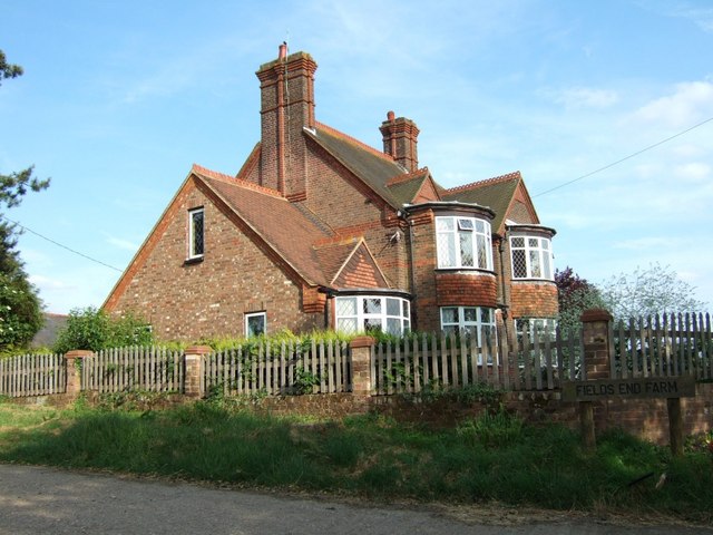
Fields End

Fields End is a hamlet to the North West of Hemel Hempstead, just beyond Warner's End on Boxted Road, in Hertfordshire, England. At the 2011 Census the...

130–136 Piccotts End

130–136 Piccotts End is a medieval timber framed building in Piccotts End in Hertfordshire, England. Originally a hall house, the structure has been divided...

Piccotts End

Piccotts End is a village in Hertfordshire, England situated on the upper River Gade. While often mistaken for a hamlet, it became a village when its church...

John F Kennedy Catholic School

John F Kennedy Catholic School is a coeducational Roman Catholic secondary school located in Hemel Hempstead, Hertfordshire, England. It opened in 1967...
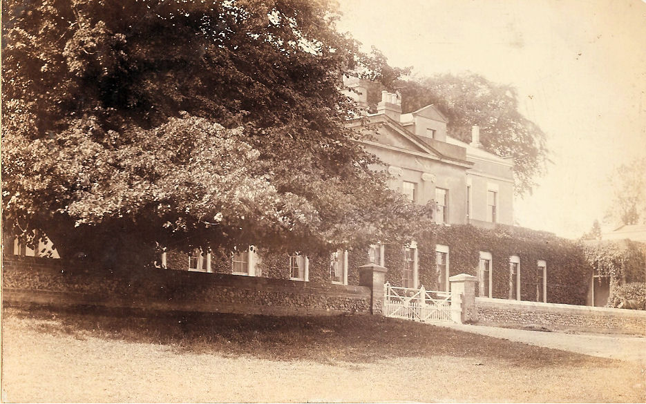
Gadebridge House

Gadebridge House was a country house at Gadebridge in Hertfordshire. == History == The house was built for Sir Astley Paston Cooper, a surgeon, who moved...

Related Videos

Gadebridge Park | Urban Park | Hemel | Hempstead | Hertfordshire | England

Gadebridge Park | Urban Park | Hemel | Hempstead | Hertfordshire | England Gadebridge Park is on the northern edges of Hemel ...

New Haircut

My beautiful and handsome new haircut for my glorious 13th birthday Love it so much ❤ I got a lovely skin fade blend with a ...

Nearby Amenities

Located within 500m of 51.772417,-0.49706089
Power: tower
Lat/Long: 51.7711866/-0.5033665
Power: tower
Lat/Long: 51.7715742/-0.5003138
Power: tower
Lat/Long: 51.7719928/-0.4967905
Power: tower
Lat/Long: 51.7725169/-0.4923084
Power: pole
Lat/Long: 51.7692541/-0.49829
Power: pole
Lat/Long: 51.7708641/-0.4968469
Power: pole
Lat/Long: 51.7714981/-0.4945081
Power: pole
Lat/Long: 51.7713952/-0.4963588
Power: pole
Lat/Long: 51.7697952/-0.4978018
Power: pole
Lat/Long: 51.7684175/-0.4990571
Power: pole
Lat/Long: 51.7703297/-0.4973083
Power: pole
Lat/Long: 51.7716309/-0.4914664
Power: pole
Lat/Long: 51.7717305/-0.4899322
Power: pole
Lat/Long: 51.7715678/-0.4929631
The data included in this document is from www.openstreetmap.org. The data is made available under ODbL.

Have you been to Catstail Wood?

Leave your review of Catstail Wood below (or comments, questions and feedback).