Dunsby Pit Plantation
Wood, Forest in Lincolnshire North Kesteven
England
Dunsby Pit Plantation

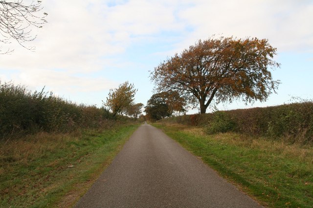
Dunsby Pit Plantation is a picturesque woodland located in Lincolnshire, England. Situated near the village of Dunsby, the plantation covers an area of approximately 100 acres, making it a significant natural landscape in the region. The woodland is primarily composed of a variety of mature trees, including oak, ash, birch, and beech, which create a diverse and vibrant forest ecosystem.
The plantation is well-known for its rich biodiversity and serves as a habitat for numerous species of wildlife. It provides a sanctuary for various bird species, including woodpeckers, owls, and thrushes, attracting birdwatchers and nature enthusiasts from far and wide. The woodland floor is adorned with a carpet of wildflowers during the spring and summer months, adding to the beauty and charm of the area.
Dunsby Pit Plantation is a popular destination for leisure activities such as walking, cycling, and horse riding. It offers a network of well-maintained trails that meander through the woodland, providing visitors with the opportunity to explore the natural beauty of the area at their own pace. Additionally, there are designated picnic areas where visitors can relax and enjoy a picnic amidst the tranquil surroundings.
Managed by the local authorities, Dunsby Pit Plantation is carefully maintained to preserve its natural integrity and ensure its long-term sustainability. Regular conservation efforts and tree planting initiatives ensure that the woodland continues to thrive and provide a haven for both flora and fauna.
Overall, Dunsby Pit Plantation in Lincolnshire is a peaceful and enchanting woodland, offering visitors a chance to connect with nature and enjoy the beauty of the natural world.
If you have any feedback on the listing, please let us know in the comments section below.
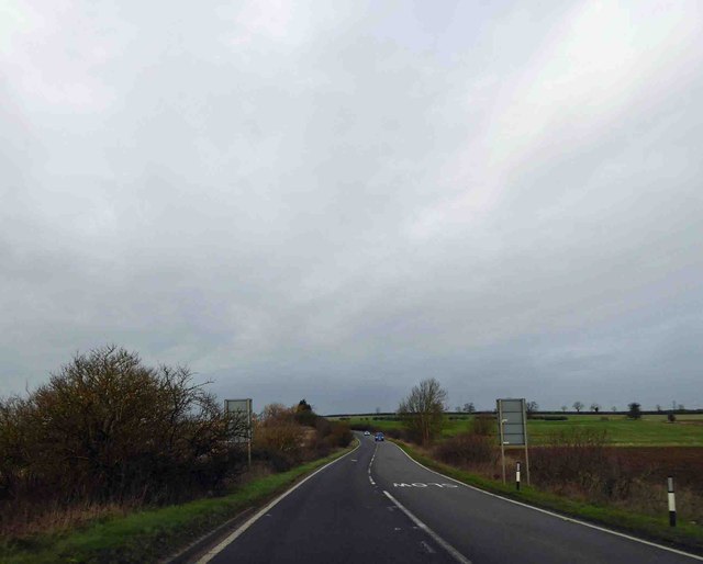
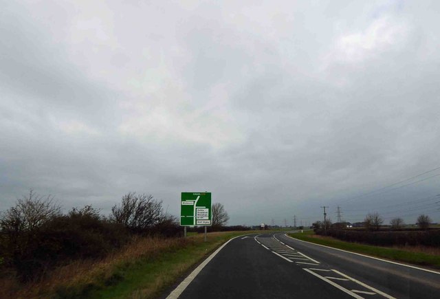
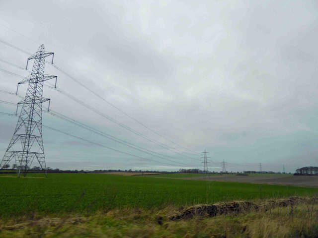
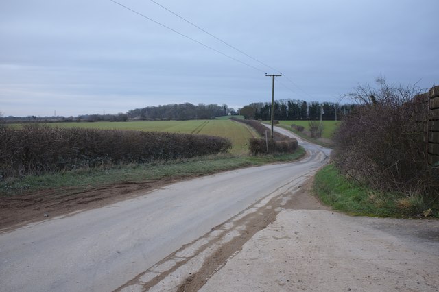
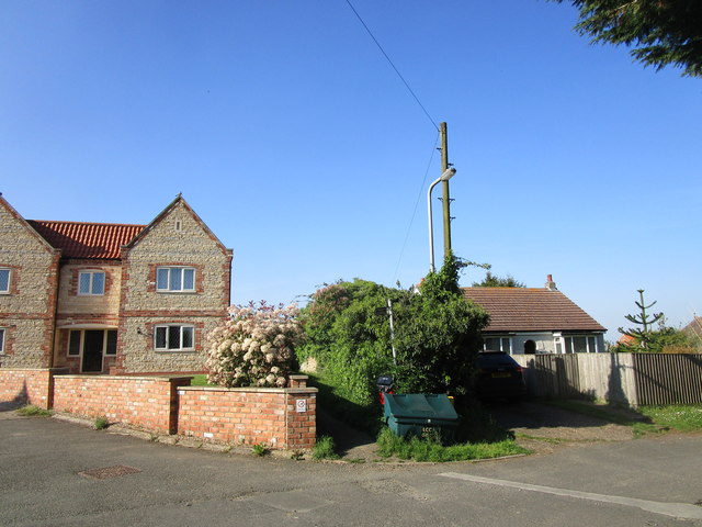
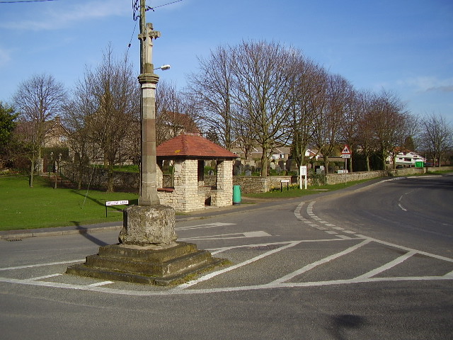
Dunsby Pit Plantation Images
Images are sourced within 2km of 53.055622/-0.45456843 or Grid Reference TF0352. Thanks to Geograph Open Source API. All images are credited.


Dunsby Pit Plantation is located at Grid Ref: TF0352 (Lat: 53.055622, Lng: -0.45456843)
Administrative County: Lincolnshire
District: North Kesteven
Police Authority: Lincolnshire
What 3 Words
///constants.unloading.blocks. Near Cranwell, Lincolnshire
Nearby Locations
Related Wikis
Cranwell
Cranwell is a village in the civil parish of Cranwell, Brauncewell and Byard's Leap, in the North Kesteven district of Lincolnshire, England. It is situated...

Brauncewell
Brauncewell is a hamlet and former civil parish in the North Kesteven district of Lincolnshire, England. From the census 2011 the population is included...

Ashby de la Launde and Bloxholm
Ashby de la Launde and Bloxholm is a civil parish in the North Kesteven district of Lincolnshire, England. According to the 2001 Census it had a population...

Sleaford and North Hykeham (UK Parliament constituency)
Sleaford and North Hykeham is a parliamentary constituency in Lincolnshire, England which elects a single Member of Parliament (MP) to the House of Commons...
Nearby Amenities
Located within 500m of 53.055622,-0.45456843Have you been to Dunsby Pit Plantation?
Leave your review of Dunsby Pit Plantation below (or comments, questions and feedback).