Dell Wood

Wood, Forest in Hertfordshire Three Rivers

England

Dell Wood

Railway station at Chorleywood This station entrance needs to be given an uplift
Railway station at Chorleywood Credit: Jack Hill

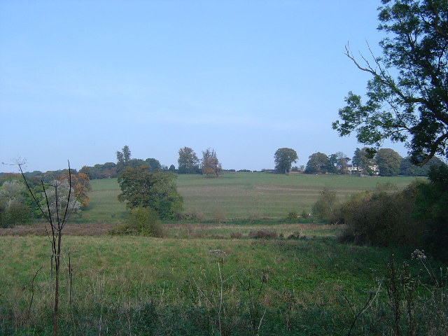
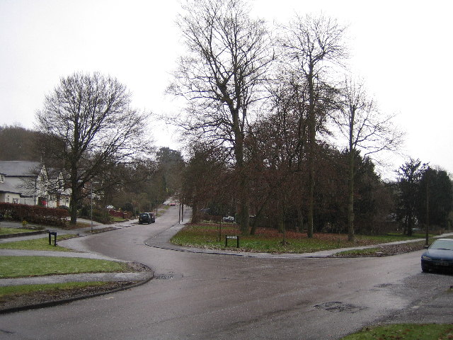
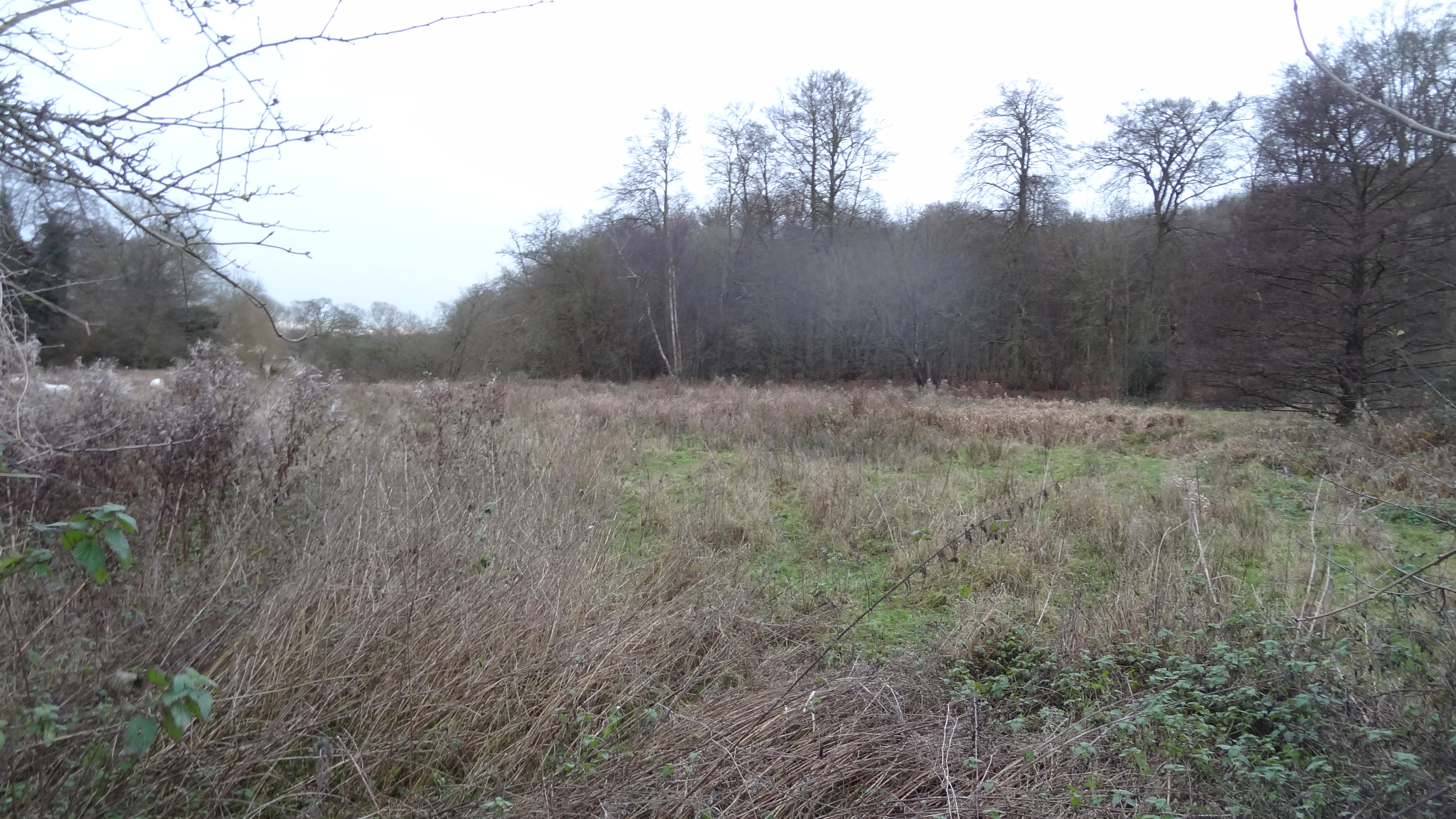
Dell Wood is a picturesque forest located in Hertfordshire, England. Covering an area of approximately 100 acres, it is a popular destination for nature lovers and outdoor enthusiasts. The wood is situated near the village of Hertford Heath, offering a tranquil escape from the bustling city life.

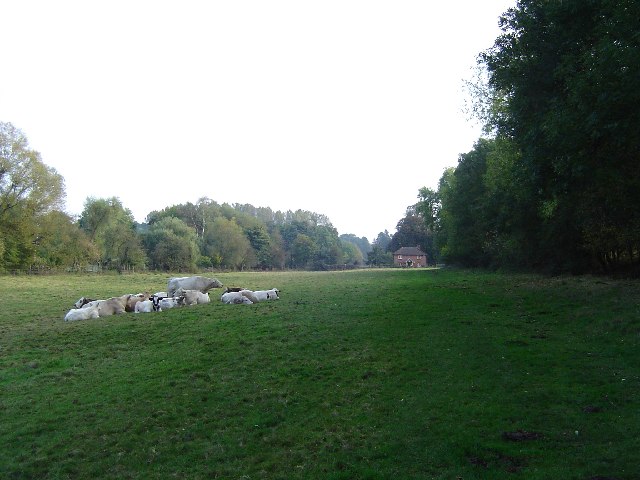
Dell Wood is characterized by its diverse range of tree species, including oak, beech, birch, and pine. These trees create a dense canopy, providing shade and shelter for a variety of wildlife. Visitors can expect to spot numerous bird species, such as woodpeckers, owls, and songbirds, as well as small mammals like squirrels and foxes.

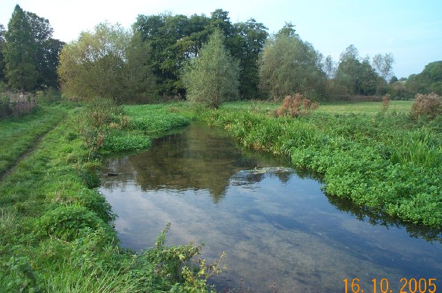
The forest boasts a network of well-maintained walking trails, allowing visitors to explore its beauty at their own pace. These trails wind through the wood, leading to scenic viewpoints and hidden clearings. Along the way, visitors may encounter vibrant wildflowers, ferns, and mosses, adding to the charm of the woodland experience.

Dell Wood is not only a haven for nature enthusiasts but also offers recreational activities for all ages. Families can enjoy picnics in the designated areas, while children can explore the forest's natural playgrounds. The wood also provides an ideal setting for photography, painting, and other artistic pursuits.

Overall, Dell Wood in Hertfordshire is a captivating forest that offers a peaceful retreat and an opportunity to connect with nature. Its natural beauty, diverse wildlife, and well-maintained trails make it a must-visit destination for those seeking a serene and immersive woodland experience.

If you have any feedback on the listing, please let us know in the comments section below.
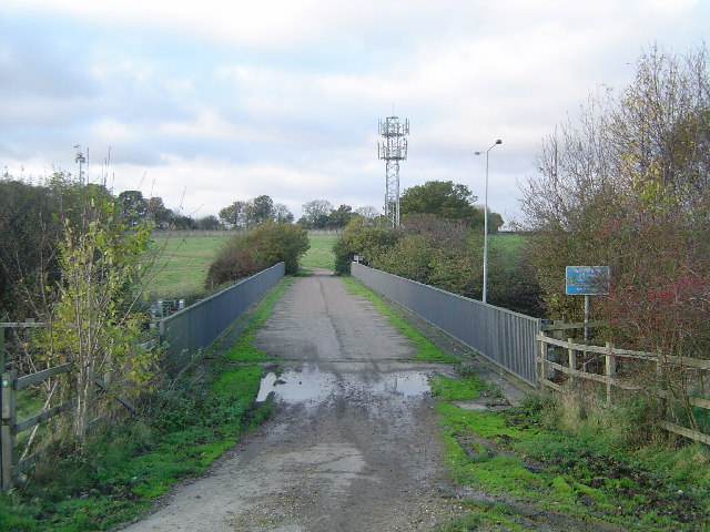
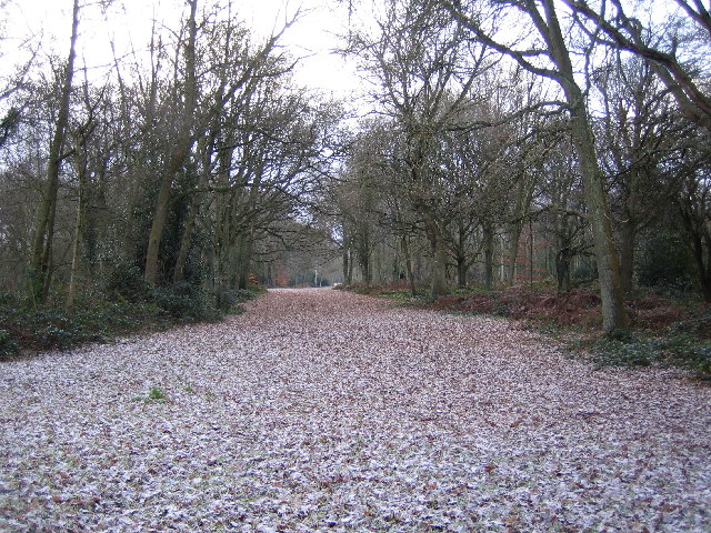
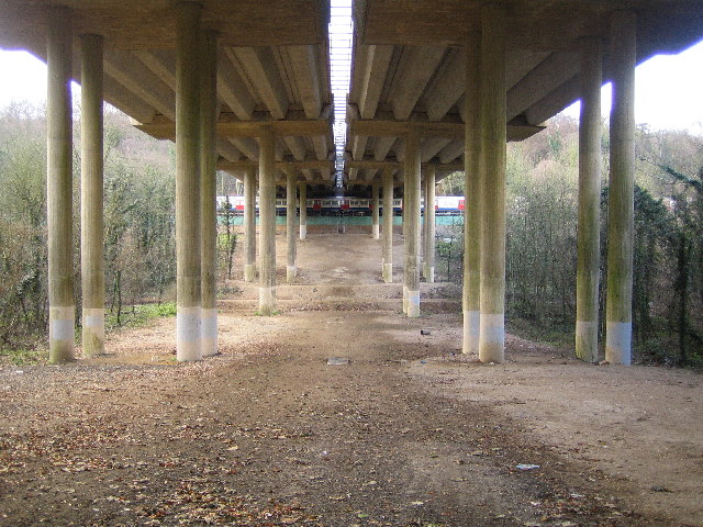
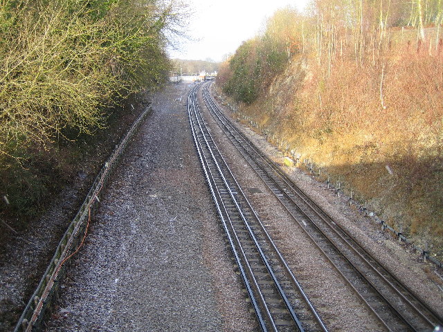
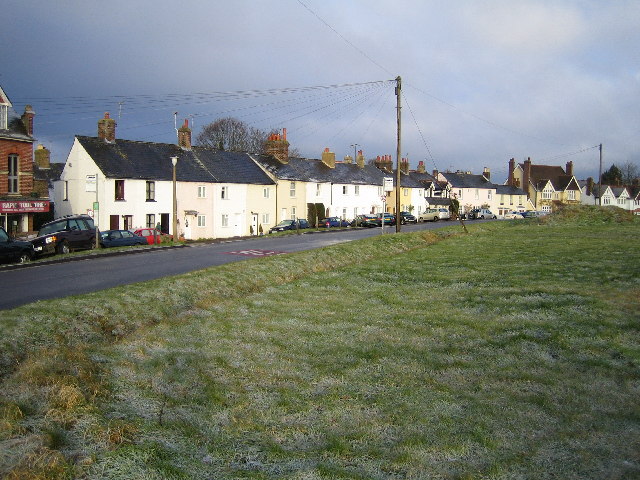
Dell Wood Images

Images are sourced within 2km of 51.662138/-0.50382093 or Grid Reference TQ0396. Thanks to Geograph Open Source API. All images are credited.

Railway station at Chorleywood This station entrance needs to be given an uplift
Railway station at Chorleywood
This station entrance needs to be given an uplift
The Old Shepherd Pub Chorleywood This is adjoining the railway but has a small green 
outside
The Old Shepherd Pub Chorleywood
This is adjoining the railway but has a small green outside
The Stag at Swillets Chorleywood. The road to the left at the T-junction becomes very narrow almost one track but is a link with the M25.
The Stag at Swillets Chorleywood.
The road to the left at the T-junction becomes very narrow almost one track but is a link with the M25.
Red Lion at Chenies. This section of road needs to be widened to allow 
safer passage of vehicles.A metre would be enough.
Red Lion at Chenies.
This section of road needs to be widened to allow safer passage of vehicles.A metre would be enough.
M25 Motorway from the Solesbridge Lane overbridge Viewed looking north at the stretch where a fourth lane has recently been constructed on an uphill section.
M25 Motorway from the Solesbridge Lane overbridge
Viewed looking north at the stretch where a fourth lane has recently been constructed on an uphill section.
Mount Wood, Chenies View looking southwards along the footpath in Mount Wood running parallel to the River Chess.
Mount Wood, Chenies
View looking southwards along the footpath in Mount Wood running parallel to the River Chess.
A Pastoral Scene Looking south east towards North Hill, Chorleywood, this idyllic picture of rural tranquillity was marred by the constant roar of the traffic on the M25 motorway, about a kilometre away to the south east.
A Pastoral Scene
Looking south east towards North Hill, Chorleywood, this idyllic picture of rural tranquillity was marred by the constant roar of the traffic on the M25 motorway, about a kilometre away to the south east.
Strip lynchets, River Chess valley From the Chess Valley Walk Guide: "The terraced field rising up the valley side is thought to date from the 9th century.The characteristic steps, or ‘strip lynchets’, formed by the action of ploughing along the slope, may have been the site of mediaeval vineyards."
Strip lynchets, River Chess valley
From the Chess Valley Walk Guide: "The terraced field rising up the valley side is thought to date from the 9th century.The characteristic steps, or ‘strip lynchets’, formed by the action of ploughing along the slope, may have been the site of mediaeval vineyards."
River Chess, near Sarratt Bottom Viewed looking upstream and northwards, the river here appears to be in an artificial cut, as it does not flow in the lowest part of the valley, which is to the left of the photo.
River Chess, near Sarratt Bottom
Viewed looking upstream and northwards, the river here appears to be in an artificial cut, as it does not flow in the lowest part of the valley, which is to the left of the photo.
River Chess, near Sarrattmill Bridge Viewed looking upstream and northwards from opposite the Water Works.
River Chess, near Sarrattmill Bridge
Viewed looking upstream and northwards from opposite the Water Works.
Sarratt: Scrubbs Farm, Micklefield Green Barns of indeterminate age, almost entirely surrounded by arable farmland. Curiously this group of buildings is called "New Model Farm" on my 1979 version of the OS 1:25,000 scale map.
Sarratt: Scrubbs Farm, Micklefield Green
Barns of indeterminate age, almost entirely surrounded by arable farmland. Curiously this group of buildings is called "New Model Farm" on my 1979 version of the OS 1:25,000 scale map.
Sarratt: Almshouses, Church End Opposite the church in Church Lane, Sarratt, and built in 1821 by a local benefactor.
Sarratt: Almshouses, Church End
Opposite the church in Church Lane, Sarratt, and built in 1821 by a local benefactor.
Mobile telephone mast and farm track bridge over the M25 Viewed looking northwards over the motorway, near Micklefield Green, Sarratt.
Mobile telephone mast and farm track bridge over the M25
Viewed looking northwards over the motorway, near Micklefield Green, Sarratt.
Chorleywood Common Viewed looking south eastwards along one of the wide rides through the wood.
Chorleywood Common
Viewed looking south eastwards along one of the wide rides through the wood.
M25 Motorway viaduct & Metropolitan Line railway & Berry Lane Three for the price of one here. The underside of the M25 Motorway viaduct between Junctions 17 and 18, viewed looking southwards, and at the far end of the viaduct a southbound Metropolitan Line train on the track between Chorleywood and Rickmansworth stations. Berry Lane road runs east-west under the viaduct between the earth banks in the middle.
M25 Motorway viaduct & Metropolitan Line railway & Berry Lane
Three for the price of one here. The underside of the M25 Motorway viaduct between Junctions 17 and 18, viewed looking southwards, and at the far end of the viaduct a southbound Metropolitan Line train on the track between Chorleywood and Rickmansworth stations. Berry Lane road runs east-west under the viaduct between the earth banks in the middle.
Metropolitan Line railway near Chorleywood Viewed looking north westwards from the Chorleywood Bottom overbridge towards Chorleywood station. The track bed is wide enough here to support a third line, which was once occupied by the avoiding lines used by non-stop trains.
Metropolitan Line railway near Chorleywood
Viewed looking north westwards from the Chorleywood Bottom overbridge towards Chorleywood station. The track bed is wide enough here to support a third line, which was once occupied by the avoiding lines used by non-stop trains.
Rickmansworth: The Clump Taken in a hailstorm, and looking up The Clump across Valley Road, this is one of the area's most sought after roads for residential properties. Some refer to this area as being in Chorleywood, others in Rickmansworth, the latter being the official Royal Mail address.
Rickmansworth: The Clump
Taken in a hailstorm, and looking up The Clump across Valley Road, this is one of the area's most sought after roads for residential properties. Some refer to this area as being in Chorleywood, others in Rickmansworth, the latter being the official Royal Mail address.
Chorleywood: Common Road The terrace of houses on the west side of Common Road, Chorleywood Common, viewed looking northwards. The end building in the terrace with the double gable ends in the roof, behind the grey car, is the Rose and Crown Public House.
Chorleywood: Common Road
The terrace of houses on the west side of Common Road, Chorleywood Common, viewed looking northwards. The end building in the terrace with the double gable ends in the roof, behind the grey car, is the Rose and Crown Public House.
Show me another place!

Dell Wood is located at Grid Ref: TQ0396 (Lat: 51.662138, Lng: -0.50382093)

Administrative County: Hertfordshire

District: Three Rivers

Police Authority: Hertfordshire

What 3 Words

///clown.common.expert. Near Chorleywood, Hertfordshire

Related Wikis

Chorleywood House Estate

Chorleywood House Estate is a 64.3 hectare Local Nature Reserve in Chorleywood in Hertfordshire. It is owned and managed by Three Rivers District Council...

Chorleywood Common

Chorleywood Common is a 75.6 hectare Local Nature Reserve in Chorleywood in Hertfordshire. It is owned and managed by Chorleywood Parish Council, and the...

St Clement Danes School

St Clement Danes School is a mixed academy school in Chorleywood, Hertfordshire. == Admissions == St Clement Danes is a partially selective school, providing...
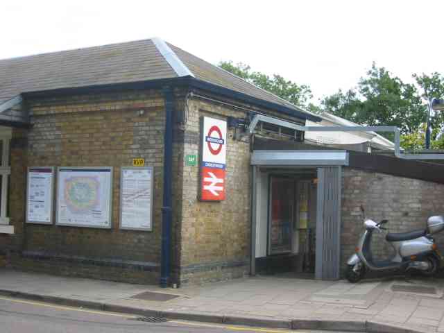
Chorleywood station

Chorleywood is a London Underground and National Rail station in Travelcard Zone 7 (previously zone B) on the Metropolitan line. The village of Chorleywood...
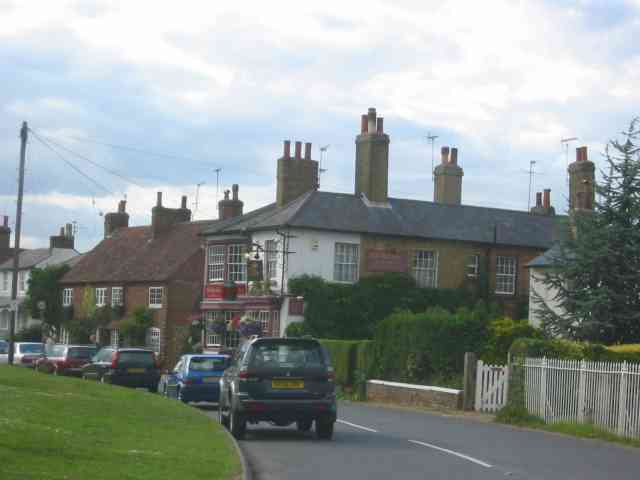
Chorleywood

Chorleywood is both a village and a civil parish in the Three Rivers District, Hertfordshire, on the border with Buckinghamshire, approximately 20 miles...

Loudwater, Hertfordshire

Loudwater is a private housing estate in the parish of Chorleywood, separated from the latter by the River Chess, north of Rickmansworth, Hertfordshire...

Sarratt Bottom nature reserve

Sarratt Bottom nature Reserve in Hertfordshire is a 3.2-hectare (7.9-acre) biological Site of Special Scientific Interest. The site is a meadow beside...

Chenies

Chenies is a village and civil parish in south-east Buckinghamshire, England. It is on the border with Hertfordshire, east of Amersham and north of Chorleywood...

Related Videos

Chess Valley | Day Hike Sunday | 4K Drone | Chorleywood to Chesham walk | 🇬🇧 Hiking UK | England

The Chess Valley, one of the most beautiful and tranquil parts of the Chiltern Hills, yet never more than a couple of kilometres from ...

Chess Valley | Day Hike Sunday | 🇬🇧 Hiking UK | England

The Chess Valley, one of the most beautiful and tranquil parts of the Chiltern Hills, yet never more than a couple of kilometres from ...

Walking silent and breathing in nature to make balance

nature #walking #karma #silent #park #earth #us.

New cycle path on Chorleywood Common | Three Rivers Local Cycling and Walking Infrastructure Plan

Go to Hertfordshire County Council's website and search for "LCWIP". On the page entitled Local cycling and walking ...

Nearby Amenities

Located within 500m of 51.662138,-0.50382093
Traffic Signals
Traffic Signals: signal
Traffic Signals Direction: both
Lat/Long: 51.6604884/-0.5103048
Bus Stop
The Gate PH
Naptan AtcoCode: 210021802120
Naptan Bearing: NW
Naptan CommonName: The Gate PH
Naptan Crossing: Dog Kennel Lane
Naptan Indicator: opp
Naptan Landmark: Dog Kennel Lane
Naptan NaptanCode: hrtajgtj
Naptan ShortCommonName: NA
Naptan Street: Rickmansworth Road
Naptan Verified: no
Public Transport: platform
Source: naptan_import
Lat/Long: 51.6582247/-0.5022698
Bus Stop
Common Road
Bus: yes
Local Ref: NR
Naptan AtcoCode: 210021802140
Naptan Bearing: NW
Naptan CommonName: Common Road
Naptan Crossing: Cricket Ground
Naptan Indicator: nr
Naptan Landmark: Cricket Ground
Naptan NaptanCode: hrtajgtm
Naptan ShortCommonName: NA
Naptan Street: Rickmansworth Road
Naptan Verified: no
Public Transport: platform
Source: naptan_import
Lat/Long: 51.660278/-0.5099251
Bus Stop
Common Road
Bus: yes
Naptan AtcoCode: 210021804640
Naptan Bearing: SE
Naptan CommonName: Common Road
Naptan Crossing: Cricket Ground
Naptan Indicator: opp
Naptan Landmark: Cricket Ground
Naptan NaptanCode: hrtagtwd
Naptan ShortCommonName: NA
Naptan Street: Rickmansworth Road
Naptan Verified: no
Public Transport: platform
Source: naptan_import
Lat/Long: 51.6603584/-0.5097852
Bus Stop
The Gate PH
Bench: no
Bin: no
Lit: no
Local Ref: NR
Naptan AtcoCode: 210021804660
Naptan Bearing: SE
Naptan CommonName: The Gate PH
Naptan Crossing: Solesbridge Lane
Naptan Indicator: nr
Naptan Landmark: Solesbridge Lane
Naptan NaptanCode: hrtagtwj
Naptan ShortCommonName: NA
Naptan Street: Rickmansworth Road
Naptan Verified: no
Public Transport: platform
Shelter: no
Source: naptan_import
Tactile Paving: no
Lat/Long: 51.6584081/-0.502388
Surface: asphalt
Traffic Calming: hump
Lat/Long: 51.6585546/-0.5044763
Waste Basket
Waste: dog_excrement
Lat/Long: 51.6605863/-0.5059032
Bicycle Parking
Bicycle Parking: stands
Capacity: 6
Lat/Long: 51.6606587/-0.5060899
Bench
Backrest: yes
Lat/Long: 51.660316/-0.5046871
Bench
Backrest: yes
Lat/Long: 51.6601612/-0.5051512
Bench
Backrest: yes
Lat/Long: 51.6600165/-0.5054516
Bench
Backrest: yes
Lat/Long: 51.6599778/-0.5056386
Waste Basket
Waste: trash
Lat/Long: 51.6603239/-0.5059367
Post Box
Ref: WD3 253
Lat/Long: 51.6604757/-0.5100548
Waste Basket
Operator: Three rivers Disctrict Council
Waste: trash;recycling
Lat/Long: 51.6596035/-0.5080726
Waste Basket
Waste: trash
Lat/Long: 51.6598518/-0.506452
Chorleywood Parish Council
Addr City: Rickmansworth
Addr Housename: South Lodge
Addr Postcode: WD3 5SG
Addr Street: Rickmansworth Road
Addr Suburb: Chorleywood
Office: government
Phone: +44 1923 285594
Website: https://www.chorleywood-pc.gov.uk/
Lat/Long: 51.6596026/-0.5062931
Waste Basket
Operator: Three Rivers District Council
Waste: dog_excrement
Lat/Long: 51.6592466/-0.5069966
Bench
Backrest: yes
Lat/Long: 51.6646738/-0.5010822
Bench
Backrest: yes
Lat/Long: 51.6654711/-0.5051176
Direction: 215
Generator Method: photovoltaic
Generator Output Electricity: yes
Generator Solar Modules: 6
Generator Source: solar
Generator Type: solar_photovoltaic_panel
Location: roof
Power: generator
Lat/Long: 51.6589079/-0.4990003
Access: no
Barrier: kissing_gate
Foot: permissive
Lat/Long: 51.6661299/-0.5032645
Telephone
Booth: K6
Covered: booth
Listed Status: Grade II
Operator: BT
Operator Wikidata: Q593786
Phone: +44 1923 282890
Lat/Long: 51.6582741/-0.5023916
Waste Basket
Operator: Three Rivers District Council
Waste: dog_excrement
Lat/Long: 51.6578213/-0.5050827
Waste Basket
Waste: dog_excrement
Lat/Long: 51.6625585/-0.5057207
Bench
Lat/Long: 51.6606132/-0.50684
Bench
Lat/Long: 51.6624581/-0.5062799
Bench
Lat/Long: 51.6624269/-0.5080712
Bench
Lat/Long: 51.6609873/-0.5021802
Bench
Lat/Long: 51.6611365/-0.4998268
Bench
Lat/Long: 51.6631528/-0.5003799
Bench
Backrest: yes
Inscription: In Loving Memory of Ian Broadbent 3/2/52 to 4/5/21. Ian Loved Walking in the Chess Valley
Material: wood
Lat/Long: 51.6659741/-0.5034668
Bench
Lat/Long: 51.6656178/-0.5072074
Bench
Backrest: yes
Inscription: For Barbara Chaney 1909-2000 with love and many happy memories of watching cricket with her here
Material: wood
Lat/Long: 51.6581895/-0.5065804
Bench
Backrest: yes
Inscription: In loving memory of Jean Walker who loved this place
Material: wood
Lat/Long: 51.6621389/-0.5060568
Bench
Backrest: yes
Material: wood
Memorial Text: In memory of Joan Eaglen 1923 - 2000
Lat/Long: 51.6578422/-0.505337
Welcome to Chorleywood Common
Advertising: board
Lit: no
Operator: Chorleywood Parish Council
Support: pole
Lat/Long: 51.6577607/-0.5050423
Bench
Backrest: no
Material: wood
Lat/Long: 51.6580494/-0.5059243
Waste Basket
Operator: Three Rivers District Council
Waste: dog_excrement
Lat/Long: 51.658111/-0.5050086
Waste Basket
Operator: Three Rivers District Council
Waste: trash;recycling
Lat/Long: 51.658148/-0.5049963
Waste Basket
Operator: Three Rivers District Council
Waste: trash;recycling
Lat/Long: 51.657796/-0.5050242
Bench
Backrest: yes
Inscription: In loving memory of nana and pop Hobbs Relax a whole and enjoy the surroundings as they did
Material: wood
Lat/Long: 51.6587457/-0.5047637
Advertising: board
Lit: yes
Operator: Christchurch Chorleywood
Support: pole
Lat/Long: 51.6583884/-0.5043667
Barrier: height_restrictor
Lat/Long: 51.6597154/-0.5078232
Barrier: height_restrictor
Lat/Long: 51.659429/-0.5066012
Barrier: height_restrictor
Lat/Long: 51.6596037/-0.5064363
Advertising: board
Lit: yes
Operator: Chorleywood Parish Council
Support: pole
Lat/Long: 51.6594805/-0.5062332
Waste Basket
Operator: Three Rivers District Council
Waste: trash;recycling
Lat/Long: 51.659227/-0.5070131
Waste Basket
Operator: Three Rivers District Council
Waste: dog_excrement
Lat/Long: 51.6593351/-0.5080786
Advertising: board
Description: Welcome to Chorleywood Common a 200 acre local nature reserve
Lit: no
Operator: Chorleywood Parish Council
Support: pole
Lat/Long: 51.6592468/-0.5071488
Grit Bin
Material: plastic
Operator: Hertfordshire County Council
Lat/Long: 51.6605503/-0.4976079
Access: no
Barrier: kissing_gate
Foot: permissive
Lat/Long: 51.6610184/-0.499719
Access: no
Barrier: kissing_gate
Foot: permissive
Lat/Long: 51.6633967/-0.497302
Shelter
Lat/Long: 51.6602503/-0.5059767
Bench
Backrest: yes
Inscription: In memory of Lady Lorna Lewis who gave 50 years dedicated service to Chorleywood
Lat/Long: 51.6601507/-0.5060046
Bench
Inscription: In memory of J H O Craven
Lat/Long: 51.6601408/-0.5060076
The data included in this document is from www.openstreetmap.org. The data is made available under ODbL.

Have you been to Dell Wood?

Leave your review of Dell Wood below (or comments, questions and feedback).