Howsham Barff Wood
Wood, Forest in Lincolnshire
England
Howsham Barff Wood

Howsham Barff Wood is a stunning woodland located in the county of Lincolnshire, England. Spanning over an area of approximately 30 hectares, this forest is a haven for nature enthusiasts and outdoor lovers. It is situated near the village of Howsham and is renowned for its picturesque beauty and diverse ecosystem.
The wood is predominantly composed of broad-leaved trees such as oak, ash, and birch, creating a lush and vibrant environment. The dense canopy allows for minimal sunlight to penetrate through, resulting in a cool and tranquil atmosphere even during the hottest months of the year.
A network of well-marked trails weaves through the wood, offering visitors the opportunity to explore and appreciate the natural wonders it holds. As visitors wander along the paths, they will come across an array of wildflowers, ferns, and mosses, adding to the enchanting ambiance of the woodland.
Howsham Barff Wood is also home to a variety of wildlife. Birdwatchers can delight in spotting species such as woodpeckers, owls, and various songbirds. Additionally, deer, squirrels, and rabbits can often be seen darting through the undergrowth, adding an element of wonder to any visit.
The wood is open to the public year-round, providing an excellent location for peaceful walks, picnics, and nature photography. It is a perfect destination for individuals seeking a serene escape from the bustling city life and a chance to connect with the natural world.
If you have any feedback on the listing, please let us know in the comments section below.
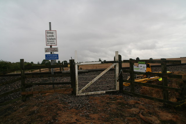
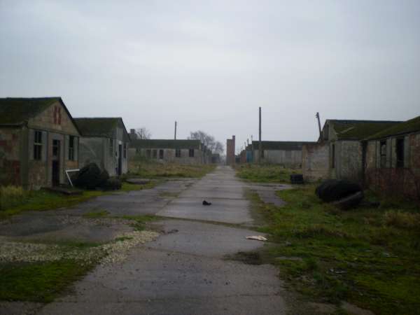
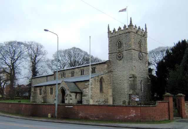
Howsham Barff Wood Images
Images are sourced within 2km of 53.545311/-0.44042465 or Grid Reference TA0306. Thanks to Geograph Open Source API. All images are credited.


Howsham Barff Wood is located at Grid Ref: TA0306 (Lat: 53.545311, Lng: -0.44042465)
Unitary Authority: North Lincolnshire
Police Authority: Humberside
What 3 Words
///revisits.sharpened.duration. Near Wrawby, Lincolnshire
Nearby Locations
Related Wikis
Pingley POW Camp
Pingley POW (prisoner of war) camp is one of the few prisoner of war camps in the United Kingdom that remains in good condition. Unlike the relatively...
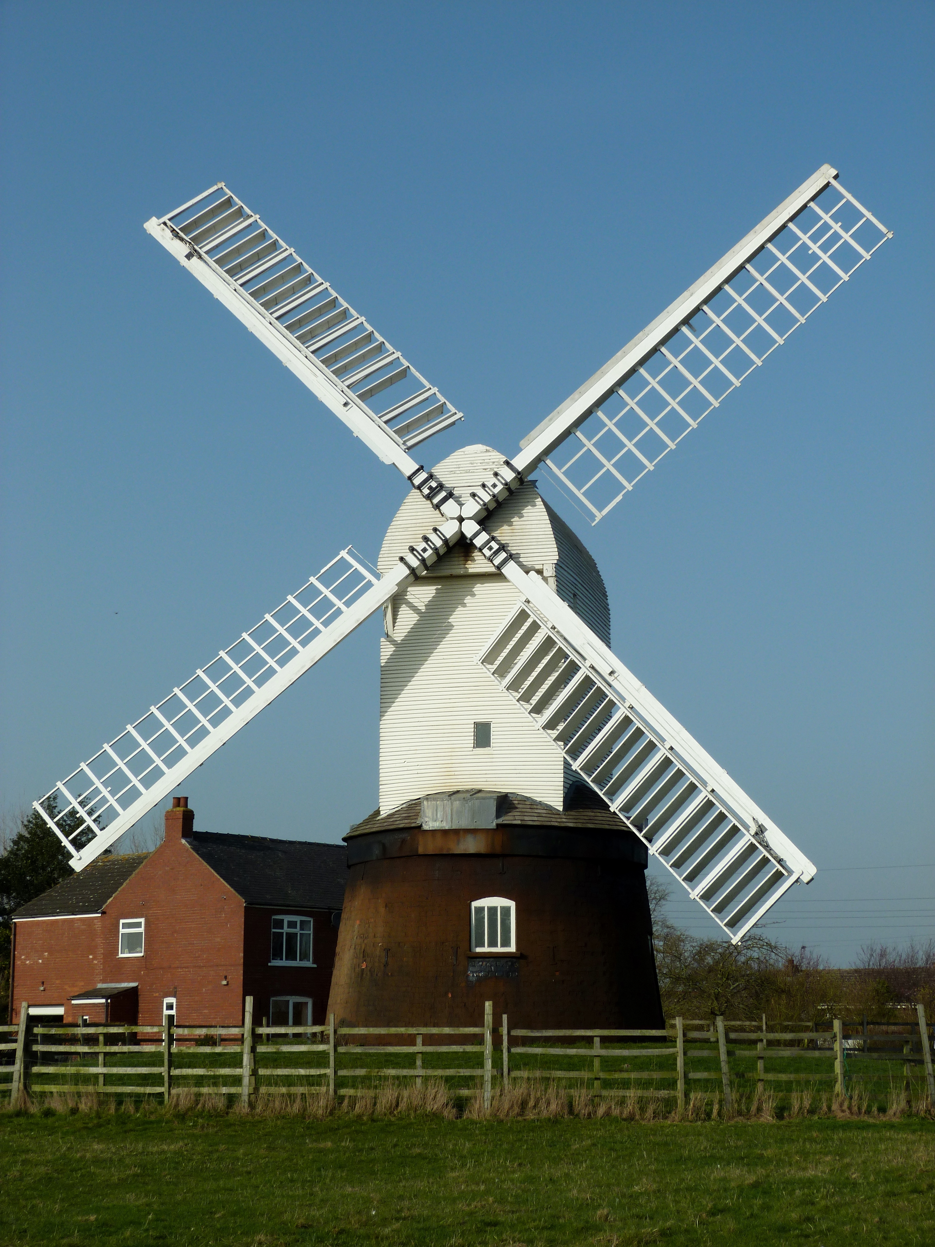
Wrawby Windmill
Wrawby Postmill is a windmill at Wrawby near Brigg, in North Lincolnshire, England. The mill is the last post mill in the north of England, and was built...

Howsham, Lincolnshire
Howsham is a village in the civil parish of Cadney in North Lincolnshire, England. It lies on the B1434 road, 3.5 miles (6 km) south from Barnetby and...
Wrawby
Wrawby is a village in North Lincolnshire, England. It lies 2 miles (3 km) east of Brigg and close to Humberside Airport, on the A18. The 2001 Census recorded...
Nearby Amenities
Located within 500m of 53.545311,-0.44042465Have you been to Howsham Barff Wood?
Leave your review of Howsham Barff Wood below (or comments, questions and feedback).