Gravelpit Plantation
Wood, Forest in Bedfordshire
England
Gravelpit Plantation
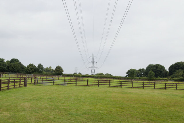
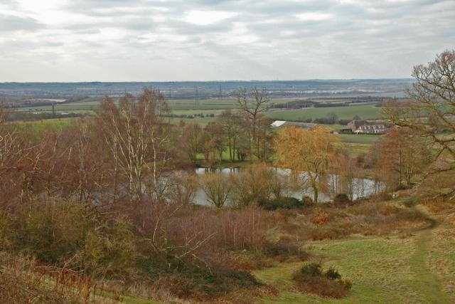
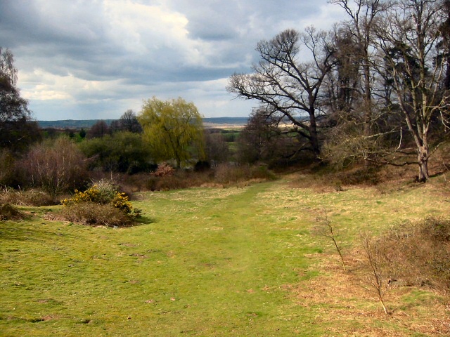
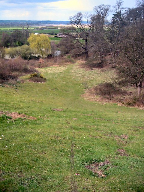
Gravelpit Plantation is a picturesque woodland located in Bedfordshire, England. Covering an area of approximately 50 acres, this plantation is nestled in the heart of the county, surrounded by rolling hills and stunning countryside views. It is a popular destination for nature enthusiasts, hikers, and those seeking tranquility amidst nature.
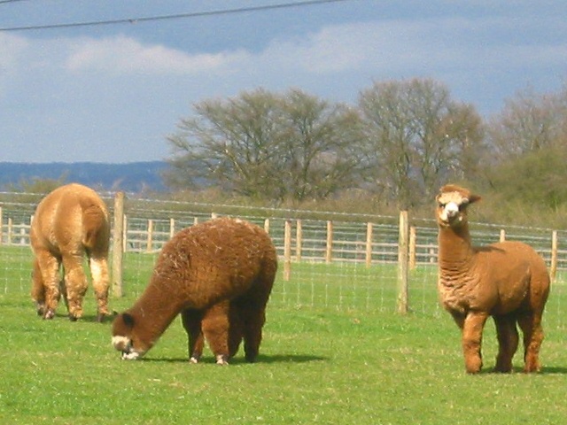
The plantation is predominantly composed of woodland, with a rich variety of trees, including oak, beech, and birch. These trees provide a dense canopy, creating a haven for numerous bird species and wildlife. Visitors can often spot squirrels, rabbits, and even deer roaming freely within the plantation.
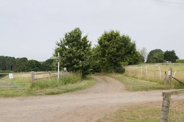
A network of well-maintained trails meanders through the plantation, allowing visitors to explore its beauty at their own pace. These paths are suitable for walkers of all abilities and offer breathtaking views of the surrounding landscape. Along the trails, there are several designated picnic areas, providing an ideal spot for visitors to relax and enjoy a packed lunch amidst the peaceful ambiance of the woodland.
Gravelpit Plantation is also home to a small pond, which attracts a variety of waterfowl and amphibians. Birdwatchers can catch glimpses of kingfishers, herons, and a range of other feathered inhabitants. The plantation actively promotes conservation efforts, maintaining the natural habitat and ensuring the preservation of the local flora and fauna.
Visitors to Gravelpit Plantation can expect to be immersed in the beauty of nature, with its tranquil atmosphere and captivating scenery. Whether it's a leisurely stroll through the woodland or a peaceful picnic by the pond, this plantation offers a wonderful escape from the hustle and bustle of everyday life.
If you have any feedback on the listing, please let us know in the comments section below.
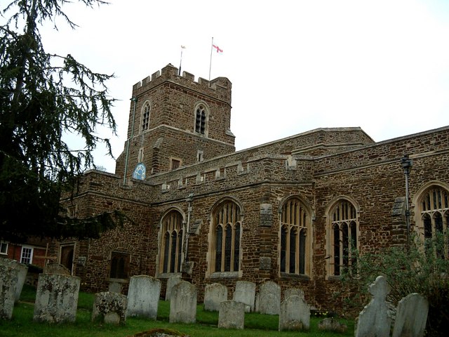
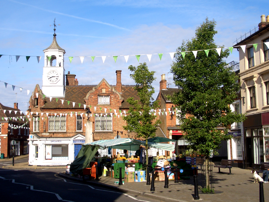
Gravelpit Plantation Images
Images are sourced within 2km of 52.039763/-0.49350572 or Grid Reference TL0339. Thanks to Geograph Open Source API. All images are credited.

Gravelpit Plantation is located at Grid Ref: TL0339 (Lat: 52.039763, Lng: -0.49350572)
Unitary Authority: Central Bedfordshire
Police Authority: Bedfordshire
What 3 Words
///undercuts.fancied.alleyway. Near Ampthill, Bedfordshire
Nearby Locations
Related Wikis
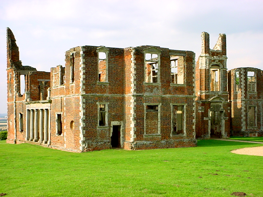
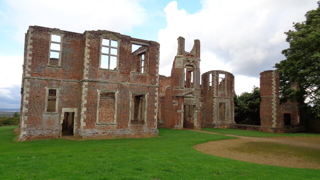
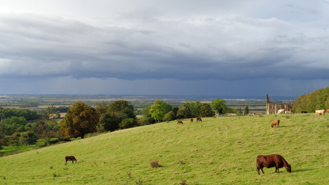
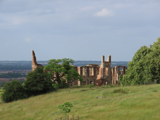
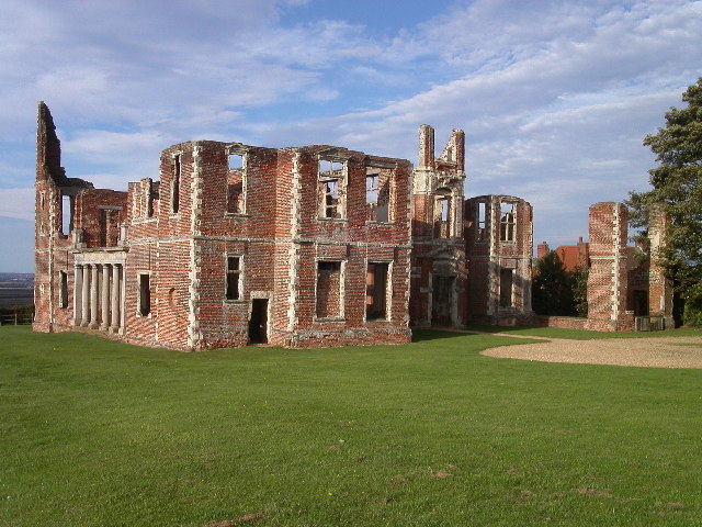
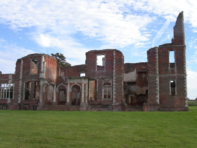
Houghton House
Houghton House is a ruined mansion house in the parish of Houghton Conquest, Bedfordshire. It is a Grade I listed building, positioned above the surrounding...

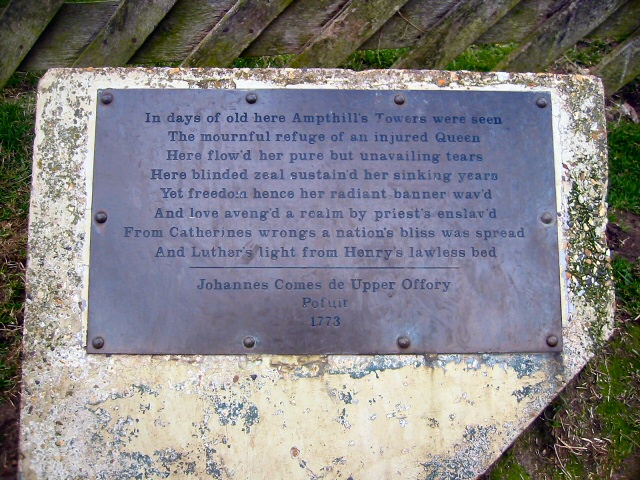
Ampthill Park
Ampthill Park and Ampthill Park House is a country estate in Ampthill, Bedfordshire, England. The park was opened to the public after the Second World...

Ampthill Town F.C.
Ampthill Town Football Club is a football club based in Ampthill, Bedfordshire, England. The club are currently members of Spartan South Midlands League...

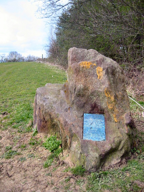
Cut-throat Meadow
Cut-throat Meadow is a 1.5 hectare nature reserve in Ampthill in Bedfordshire. It is managed by the Wildlife Trust for Bedfordshire, Cambridgeshire and...
Ampthill Rural District
Ampthill was a rural district in Bedfordshire, England from 1894 to 1974. It entirely surrounded but did not include the urban district of Ampthill. The...
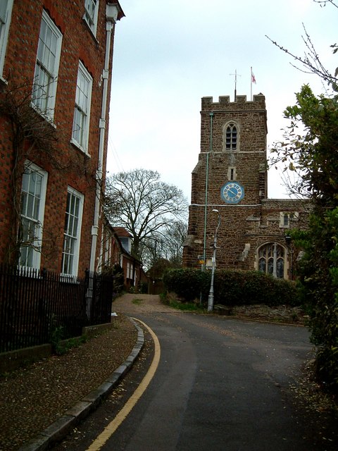
Ampthill
Ampthill () is a town and civil parish in Bedfordshire, England, between Bedford and Luton, with a population estimate of 8,100 (Mid year estimate 2017...
Ampthill Urban District
The town of Ampthill in Bedfordshire, England was administered as a Local Government District from 1893 to 1894 and an Urban District from 1894 to 1974...

Ampthill Tunnel
Ampthill tunnel is a railway tunnel at Ampthill on the Midland Main Line, being positioned between Bedford and Flitwick. It consists of two separate bores...
Nearby Amenities
Located within 500m of 52.039763,-0.49350572Have you been to Gravelpit Plantation?
Leave your review of Gravelpit Plantation below (or comments, questions and feedback).