Galsey Wood
Wood, Forest in Bedfordshire
England
Galsey Wood

Galsey Wood is a picturesque woodland area located in Bedfordshire, England. Covering an expansive area, the wood is abundant with diverse flora and fauna, making it a haven for nature enthusiasts and hikers alike. The wood is situated near the village of Galsey, which lends its name to the woodland.
The woodland is predominantly composed of deciduous trees, such as oak, beech, and ash, which create a stunning canopy during the warmer months. The forest floor is adorned with a variety of wildflowers, including bluebells and primroses, adding vibrant splashes of color to the landscape.
Galsey Wood is also home to a range of wildlife species. Birdwatchers can spot numerous avian species, including woodpeckers, nuthatches, and various songbirds. Mammals such as deer, foxes, and rabbits can also be found within the wood, offering a glimpse of the natural biodiversity that thrives in the area.
The woodland is crisscrossed by a network of well-maintained trails and footpaths, allowing visitors to explore the area at their own pace. These trails provide access to the wood's hidden gems, such as tranquil ponds and small streams that add to the serenity of the surroundings.
Galsey Wood is a popular destination for both locals and tourists seeking a peaceful escape from the hustle and bustle of everyday life. With its captivating beauty and rich biodiversity, the wood offers a serene retreat for those seeking solace in nature's embrace.
If you have any feedback on the listing, please let us know in the comments section below.
Galsey Wood Images
Images are sourced within 2km of 52.237552/-0.48712539 or Grid Reference TL0361. Thanks to Geograph Open Source API. All images are credited.


Galsey Wood is located at Grid Ref: TL0361 (Lat: 52.237552, Lng: -0.48712539)
Unitary Authority: Bedford
Police Authority: Bedfordshire
What 3 Words
///trades.morphing.sticky. Near Riseley, Bedfordshire
Nearby Locations
Related Wikis

Bedford Autodrome
Bedford Autodrome is an autodrome based on the former site of RAE Bedford, in the village of Thurleigh, Bedfordshire. It is owned by former Formula One...

RAF Thurleigh
Royal Air Force Thurleigh or more simply RAF Thurleigh is a former Royal Air Force station located 5 miles (8.0 km) north of Bedford, Bedfordshire, England...

RAE Bedford
RAE Bedford was a research site of the Royal Aircraft Establishment between 1946 and 1994. It was located near the village of Thurleigh, north of the town...
Riseley, Bedfordshire
Riseley is a village and civil parish located in North Bedfordshire, England. The village name has had alternative spellings in the past such as Rislau...
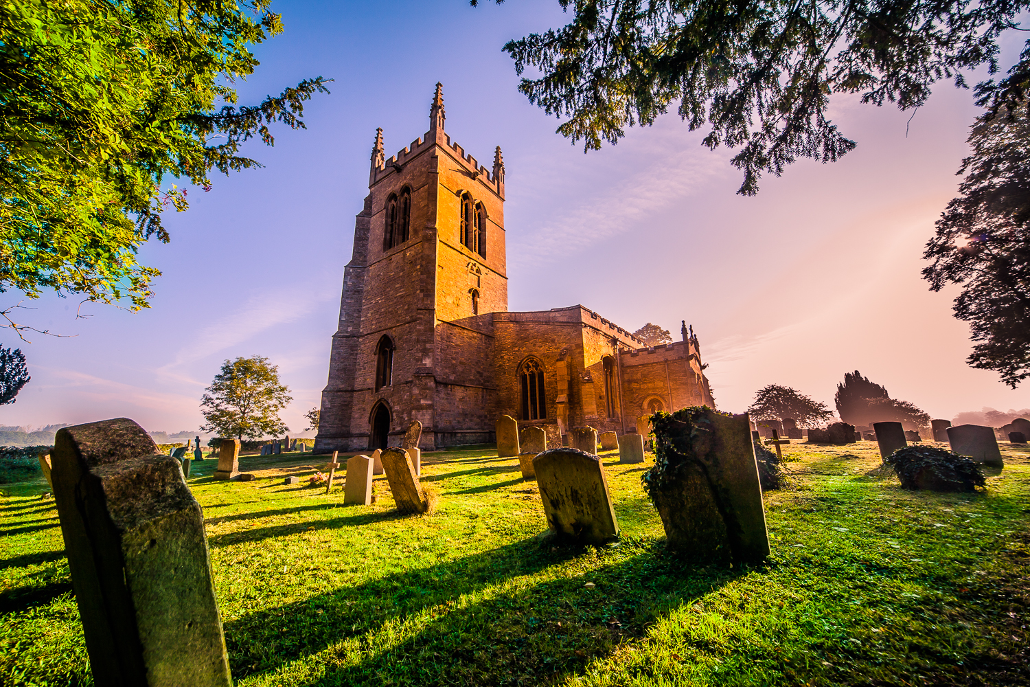
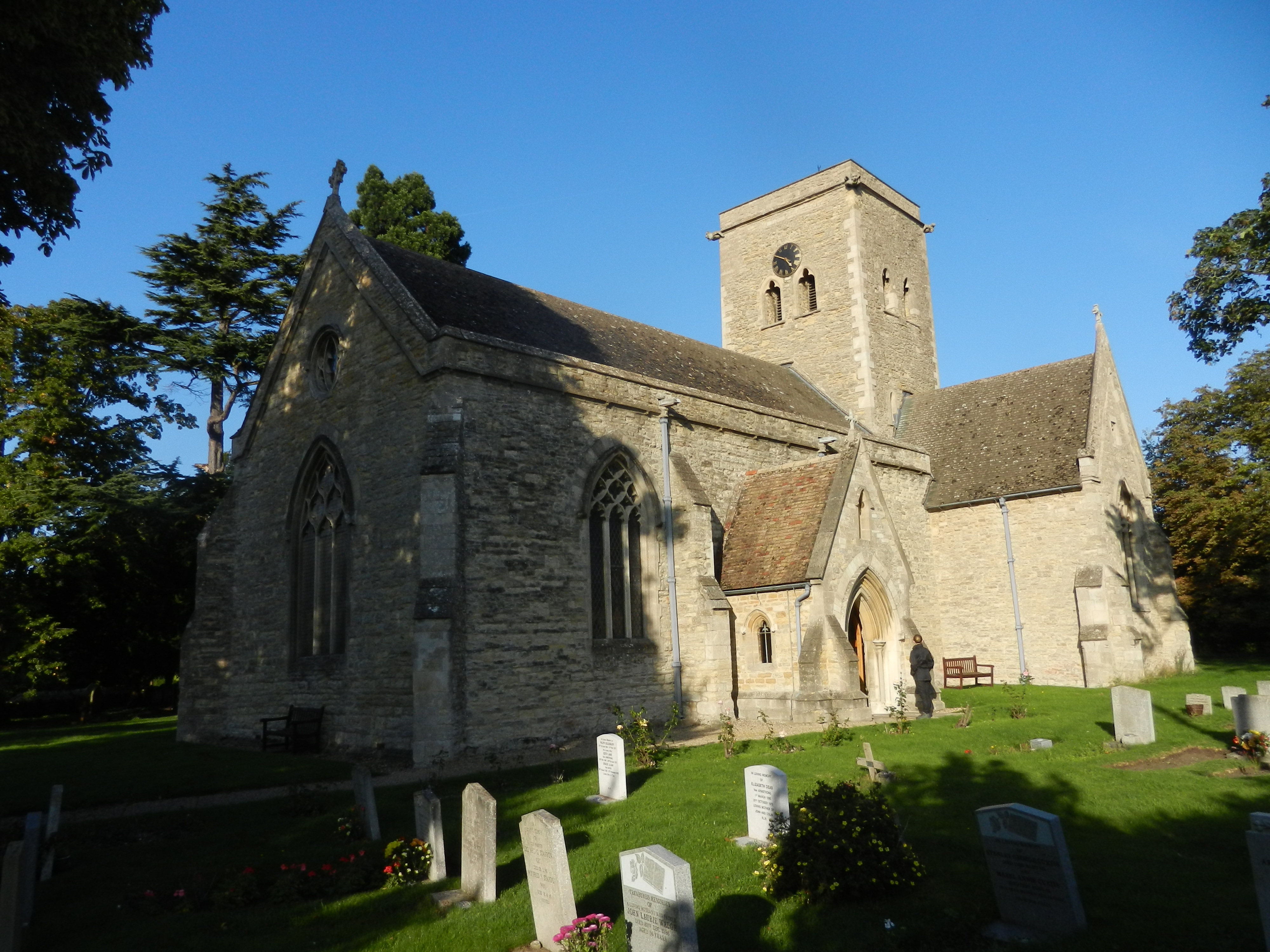
Church of All Saints, Riseley, Bedfordshire
Church of All Saints is a Grade I listed church in Riseley, Bedfordshire, England. It became a listed building on 13 July 1964.The tower, roofs and seating...
Bletsoe Castle
Bletsoe Castle was a late medieval fortified manor house in the village of Bletsoe, Bedfordshire, England. == Details == Bletsoe Castle was created by...
Bedford Aerodrome
Bedford Aerodrome (ICAO: EGBF) is located 5 nautical miles (9.3 km; 5.8 mi) north of Bedford, in Bedfordshire, England. The aerodrome which is privately...
Bletsoe
Bletsoe is a village and civil parish in Bedfordshire, England. It is on the A6, and about eight miles north of Bedford. The village has a small park,...
Nearby Amenities
Located within 500m of 52.237552,-0.48712539Have you been to Galsey Wood?
Leave your review of Galsey Wood below (or comments, questions and feedback).