Dale Plantation
Wood, Forest in Yorkshire
England
Dale Plantation
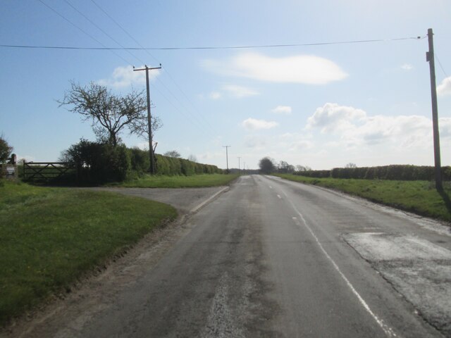
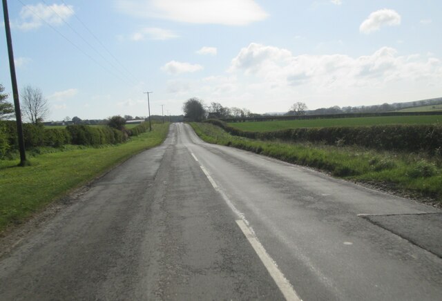
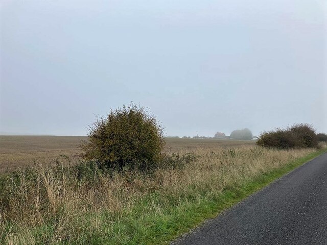
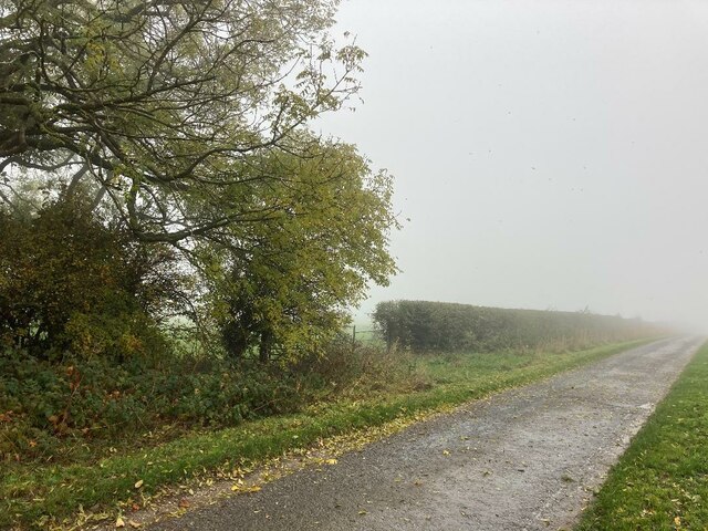
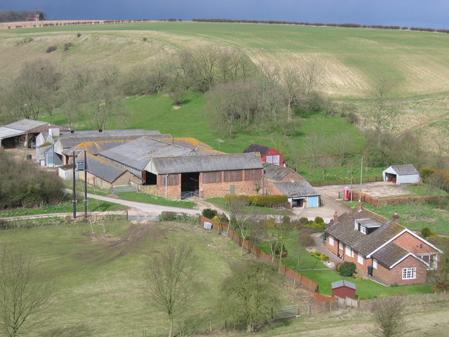
Dale Plantation, located in Yorkshire, England, is a picturesque woodland area known for its natural beauty and diverse flora and fauna. Spanning over several acres, the plantation is nestled within the rolling hills and valleys of Yorkshire, offering visitors a serene and tranquil retreat from the bustling city life.
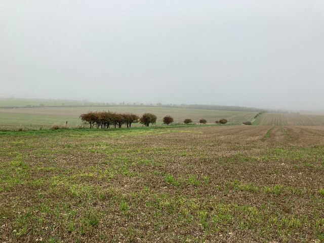
The plantation is predominantly covered with a variety of deciduous and evergreen trees, including oak, birch, beech, and pine, creating a rich tapestry of colors throughout the year. The forest floor is adorned with an abundance of wildflowers, ferns, and mosses, adding to the enchanting atmosphere of the area.
Dale Plantation is home to a wide range of wildlife, providing a natural habitat for numerous species. Birdwatchers can delight in observing various avian species, including woodpeckers, owls, and songbirds. Squirrels, rabbits, and deer can also be spotted within the plantation, adding to the charm and authenticity of the woodland experience.
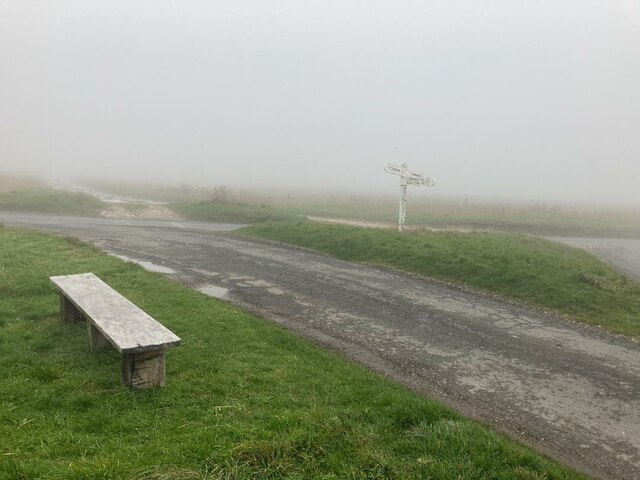
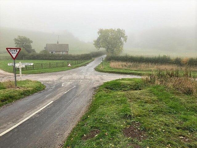
Visitors can explore the plantation through a network of well-maintained walking trails, allowing them to immerse themselves in the beauty of the surroundings. These trails wind through the forest, offering glimpses of stunning vistas, hidden waterfalls, and peaceful ponds.
Dale Plantation also provides opportunities for outdoor activities such as picnicking, camping, and photography. The plantation's serene ambiance makes it an ideal location for nature enthusiasts, artists, and those seeking a peaceful escape.
Overall, Dale Plantation in Yorkshire is a haven for nature lovers, offering a captivating blend of natural beauty, wildlife, and recreational opportunities. Its idyllic setting makes it a must-visit destination for those seeking to connect with the wonders of the natural world.
If you have any feedback on the listing, please let us know in the comments section below.
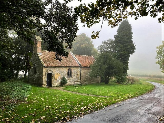
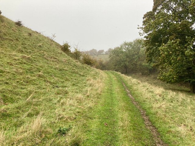
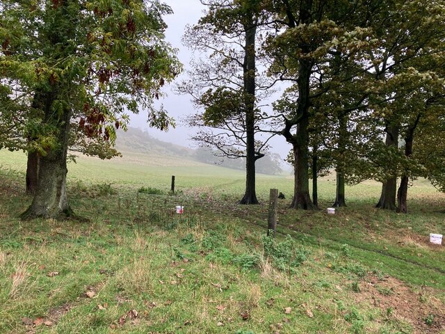
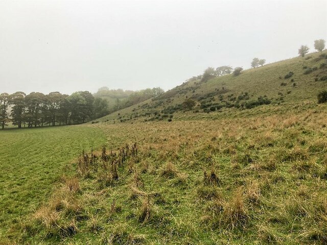
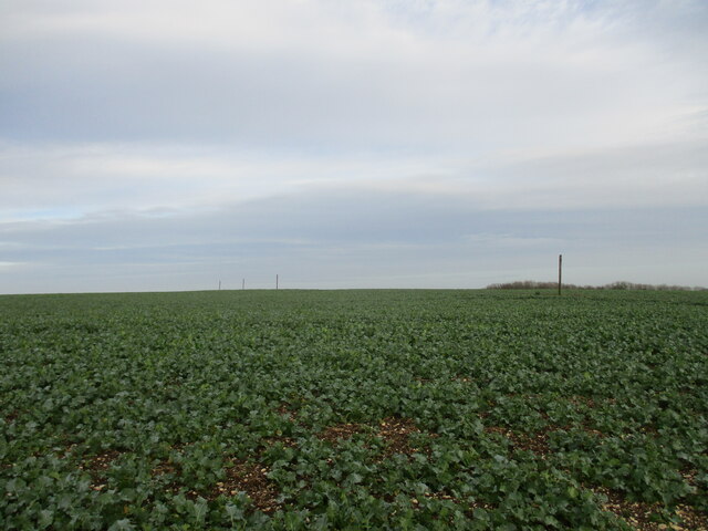
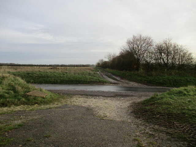
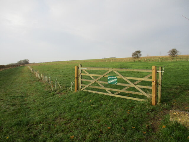
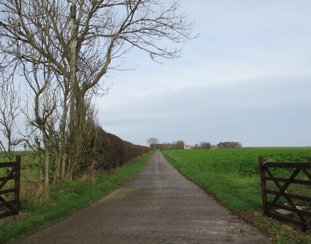
Dale Plantation Images
Images are sourced within 2km of 54.159267/-0.41880882 or Grid Reference TA0374. Thanks to Geograph Open Source API. All images are credited.


Dale Plantation is located at Grid Ref: TA0374 (Lat: 54.159267, Lng: -0.41880882)
Division: East Riding
Unitary Authority: East Riding of Yorkshire
Police Authority: Humberside
What 3 Words
///stapled.whiplash.mimics. Near Wold Newton, East Yorkshire
Nearby Locations
Related Wikis
Fordon, East Riding of Yorkshire
Fordon is a village and former civil parish, now in the parish of Wold Newton, in the East Riding of Yorkshire, England, near the border with North Yorkshire...

Wold Newton, East Riding of Yorkshire
Wold Newton is a small Yorkshire Wolds village and civil parish in the East Riding of Yorkshire, England. It is situated approximately 9 miles (14 km)...

Wold Cottage meteorite
The Wold Cottage meteorite (also called the Wold Newton meteorite) fell near Wold Cottage farm in 1795, a few miles away from the village of Wold Newton...
Wold Newton Hoard
The Wold Newton Hoard is a coin hoard dating from the early 4th century AD. It contains 1,857 coins held within a pottery container. It was acquired by...

RRH Staxton Wold
Remote Radar Head Staxton Wold or RRH Staxton Wold is an air defence radar station operated by the Royal Air Force, located near Scarborough in North Yorkshire...

Great Wold Valley
The Great Wold Valley is the largest and broadest of the valleys cutting into the Yorkshire Wolds in northern England. It carries the Gypsey Race, an intermittent...
Foxholes, North Yorkshire
Foxholes is a village in North Yorkshire, England, part of the civil parish of Foxholes with Butterwick. It lies where the B1249 road crosses the Great...

Willy Howe
Willy Howe (also Willey-Hou) is a tumulus in the Yorkshire Wolds, East Riding of Yorkshire, England. == History and description == Willy Howe is a large...
Have you been to Dale Plantation?
Leave your review of Dale Plantation below (or comments, questions and feedback).