Hale House Plantation
Wood, Forest in Lincolnshire South Kesteven
England
Hale House Plantation

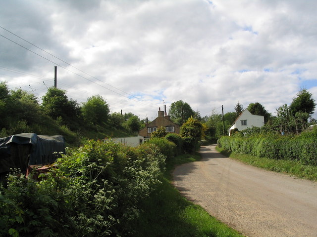
Hale House Plantation is a historical estate located in the picturesque county of Lincolnshire, England. Situated within a densely wooded area, the plantation offers a serene and idyllic setting for visitors to explore.
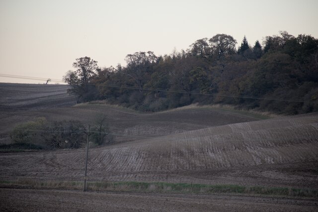
Covering a vast expanse of land, Hale House Plantation is home to a diverse range of flora and fauna. The estate boasts an impressive forest, providing a haven for numerous species of trees, including oak, birch, and beech. The lush woodland provides a habitat for a variety of wildlife, such as deer, squirrels, and various bird species, making it a popular destination for nature enthusiasts and birdwatchers.
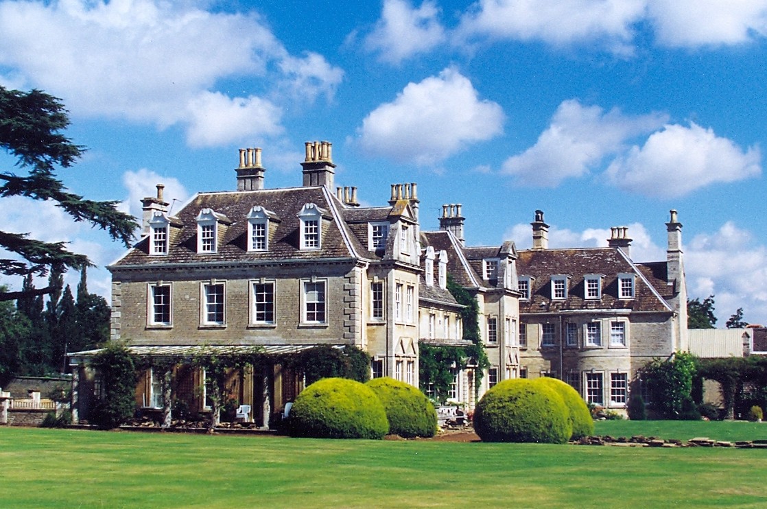
The main highlight of Hale House Plantation is the historic Hale House, a grand Georgian mansion built in the late 18th century. The elegant architecture and well-preserved interior of the house offer visitors a glimpse into the opulent lifestyle of the estate's former owners. The house is surrounded by beautifully manicured gardens, where visitors can take leisurely strolls and admire the meticulously maintained flower beds and ornamental features.
In addition to its natural and architectural wonders, Hale House Plantation offers various recreational activities for visitors. The estate features well-marked walking trails, allowing guests to explore the vast woodland at their own pace. Picnic areas are scattered throughout the plantation, providing an ideal spot for visitors to enjoy a leisurely lunch amidst the tranquil surroundings.
Overall, Hale House Plantation is a captivating destination that seamlessly blends history, nature, and leisure. Whether one is interested in delving into the past, immersing themselves in nature, or simply seeking a peaceful retreat, this Lincolnshire estate offers a truly enchanting experience for all who visit.
If you have any feedback on the listing, please let us know in the comments section below.
Hale House Plantation Images
Images are sourced within 2km of 52.752382/-0.47187083 or Grid Reference TF0318. Thanks to Geograph Open Source API. All images are credited.


Hale House Plantation is located at Grid Ref: TF0318 (Lat: 52.752382, Lng: -0.47187083)
Administrative County: Lincolnshire
District: South Kesteven
Police Authority: Lincolnshire
What 3 Words
///flaked.reference.mental. Near Essendine, Rutland
Nearby Locations
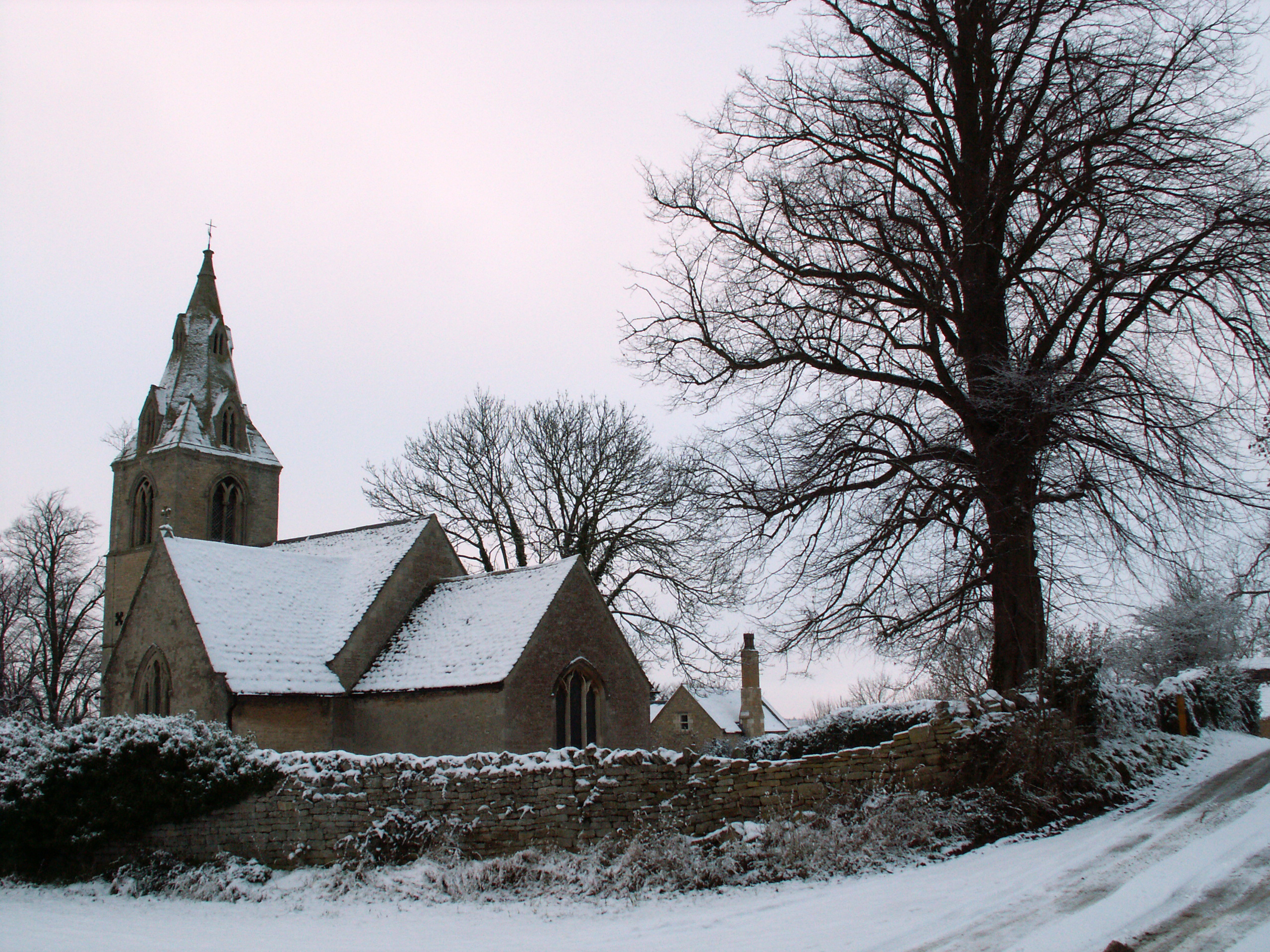
Related Wikis

Bourne Rural District
Bourne was a rural district in Lincolnshire, Parts of Kesteven from 1894 to 1931. It was created by the Local Government Act 1894 based on the Bourne rural...

Little Bytham railway station
Little Bytham railway station was a station in Little Bytham, Lincolnshire on the Great Northern Railway main line. It closed in 1959. The Midland and...
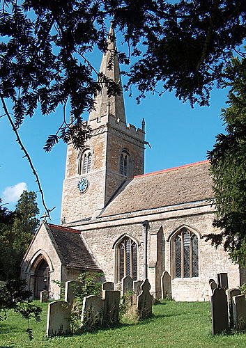
St Medardus and St Gildardus Church, Little Bytham
The church of St Medardus and St Gildardus in Little Bytham, Lincolnshire, England, is a Grade I listed building. It is dedicated to two 6th-century French...
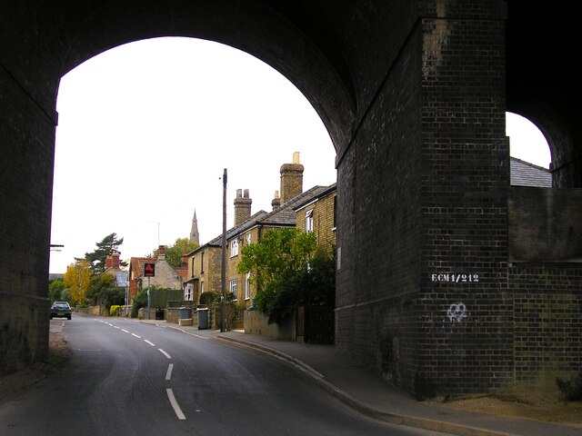
Little Bytham
Little Bytham is a village and civil parish in the South Kesteven district of Lincolnshire, England. The population of the civil parish at the 2011 census...

Careby
Careby is the principal village in the a civil parish of Careby Aunby and Holywell [in which the population is included] in the South Kesteven district...
Witham Hall
Witham Hall is an independent boarding and day school situated in Witham on the Hill, Lincolnshire, England. == The hall == The house is described by Sir...
Counthorpe
Counthorpe is a hamlet in the civil parish of Counthorpe and Creeton in the South Kesteven district of Lincolnshire, England. It adjoins the hamlet of...
Creeton
Creeton is a hamlet in the civil parish of Counthorpe and Creeton in the South Kesteven district of Lincolnshire, England. It is situated 3 miles (5 km...
Nearby Amenities
Located within 500m of 52.752382,-0.47187083Have you been to Hale House Plantation?
Leave your review of Hale House Plantation below (or comments, questions and feedback).