Bishopshall Wood

Wood, Forest in Lincolnshire South Kesteven

England

Bishopshall Wood

Swinstead
Swinstead Credit: Tim Heaton

Bishopshall Wood is a picturesque woodland located in the county of Lincolnshire, England. Covering an area of approximately 100 acres, this enchanting forest is situated near the village of Bishop Norton, just a short distance from the bustling town of Market Rasen.

The wood is a mix of deciduous and coniferous trees, including oak, birch, beech, and pine. This diverse range of tree species creates a rich and vibrant habitat for a variety of wildlife. Visitors to Bishopshall Wood can expect to encounter an array of bird species, such as great tits, blue tits, and woodpeckers, as well as small mammals like squirrels and rabbits.

The forest boasts several walking trails that wind their way through the woodland, offering visitors the opportunity to immerse themselves in the tranquility of nature. The paths are well-maintained and suitable for all abilities, making it an ideal location for a leisurely stroll or a more vigorous hike.

In addition to its natural beauty, Bishopshall Wood also holds historical significance. It is believed that the wood was once part of the extensive Bishop's hunting grounds in the medieval period. Today, remnants of ancient boundary banks and ditches can still be seen within the wood, providing a glimpse into its past.

Overall, Bishopshall Wood is a captivating woodland retreat in Lincolnshire, offering a peaceful escape from the hustle and bustle of everyday life. With its diverse flora and fauna, well-maintained trails, and historical significance, it is a must-visit destination for nature lovers and history enthusiasts alike.

If you have any feedback on the listing, please let us know in the comments section below.

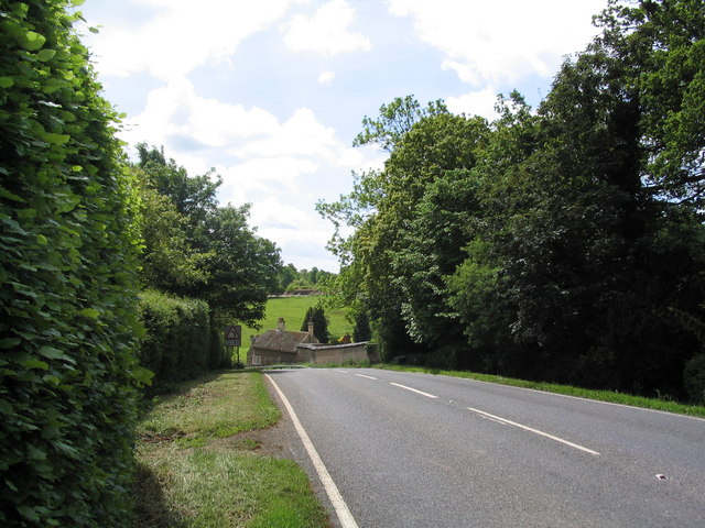
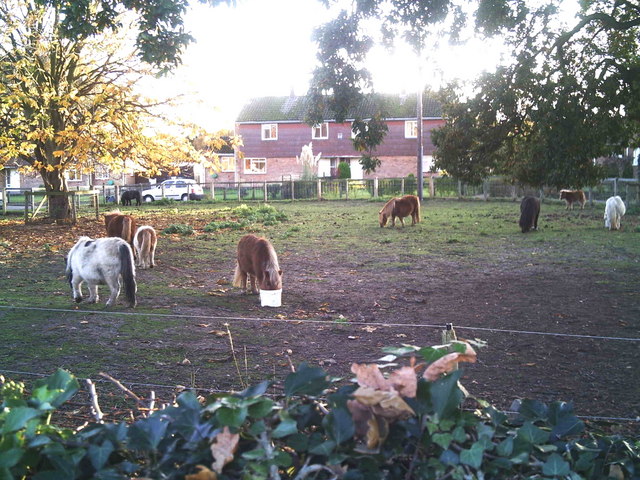
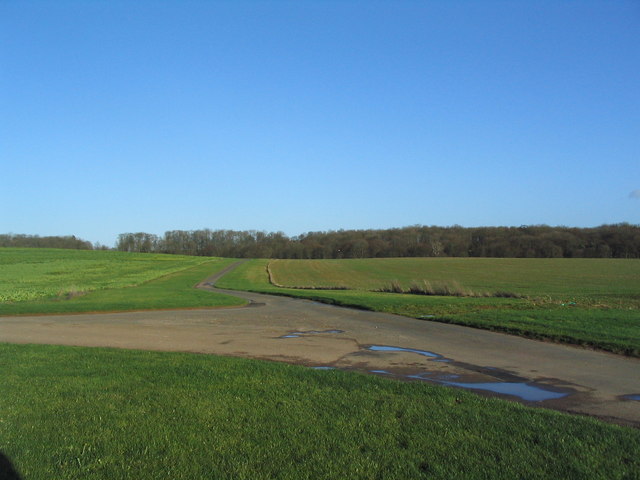
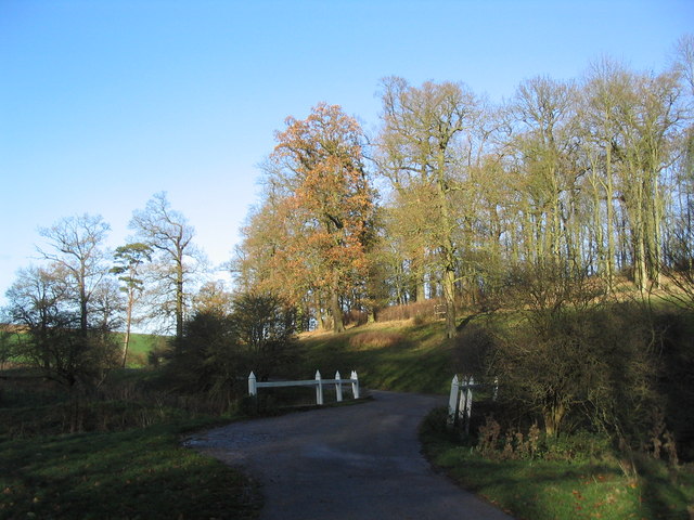
Bishopshall Wood Images

Images are sourced within 2km of 52.785063/-0.47118583 or Grid Reference TF0321. Thanks to Geograph Open Source API. All images are credited.

Swinstead
Swinstead
Church of St Mary, Swinstead
Grimsthorpe Castle Looking down North Avenue
Grimsthorpe Castle
Looking down North Avenue
Swinstead from Forstedd Hill
Track to Tower Farm
Track to Tower Farm
The Black Horse, Grimsthorpe Now open for business again
The Black Horse, Grimsthorpe
Now open for business again
Entering Grimsthorpe
Shetland ponies in a paddock Shetland ponies.
Shetland ponies in a paddock
Shetland ponies.
Creeton Farm
Creeton Farm
Swinstead Road, north of Creeton 'Spring Buildings Plantation' to the left of the road at the top of the hill.
Swinstead Road, north of Creeton
'Spring Buildings Plantation' to the left of the road at the top of the hill.
Mistletoe in lime trees; Steel's Riding, Grimsthorpe Park The track running west-east through the southern part of Grimsthorpe Park is lined with lime trees, heavily infested with mistletoe. The trees look rather sick - but I've only seen them in their leaf-free, winter months.
Mistletoe in lime trees; Steel's Riding, Grimsthorpe Park
The track running west-east through the southern part of Grimsthorpe Park is lined with lime trees, heavily infested with mistletoe. The trees look rather sick - but I've only seen them in their leaf-free, winter months.
Western end of 'Steel's Riding', Grimsthorpe Park With one of the many mistletoe-infested lime trees.
Western end of 'Steel's Riding', Grimsthorpe Park
With one of the many mistletoe-infested lime trees.
View north towards Park House, Grimsthorpe Park
Farm buildings, Grimsthorpe Park The track runs north-west towards Swinstead.
Farm buildings, Grimsthorpe Park
The track runs north-west towards Swinstead.
Road running east into Grimsthorpe Park Much of the central part of this large Park estate is farmed, but the remainder is attractive woodland.
Road running east into Grimsthorpe Park
Much of the central part of this large Park estate is farmed, but the remainder is attractive woodland.
Road junction, Grimsthorpe Park The main road through the Park. Running from Chestnut Avenue to the south (bottom right), towards the castle at the north end of the Park (top).
Road junction, Grimsthorpe Park
The main road through the Park. Running from Chestnut Avenue to the south (bottom right), towards the castle at the north end of the Park (top).
'Pots and Pans', Grimsthorpe Park Bumpy ground marking former quarry. Extraction of good quality limestone remains an important activity in the area.
'Pots and Pans', Grimsthorpe Park
Bumpy ground marking former quarry. Extraction of good quality limestone remains an important activity in the area.
Bridge leading to 'The Vaudey', Grimsthorpe Park The stream leaving from the lake south of Grimsthorpe Castle runs through a valley named 'Vallis Dei' (Valley of God, now 'Vaudey') by Cistercian monks who founded an abbey here in the 12th century.
Bridge leading to 'The Vaudey', Grimsthorpe Park
The stream leaving from the lake south of Grimsthorpe Castle runs through a valley named 'Vallis Dei' (Valley of God, now 'Vaudey') by Cistercian monks who founded an abbey here in the 12th century.
Show me another place!

Bishopshall Wood is located at Grid Ref: TF0321 (Lat: 52.785063, Lng: -0.47118583)

Administrative County: Lincolnshire

District: South Kesteven

Police Authority: Lincolnshire

What 3 Words

///dirt.sake.countries. Near Corby Glen, Lincolnshire

Related Wikis

Vaudey Abbey

Vaudey Abbey , also known as Vandy Abbey or Vandey Abbey, was an English Cistercian abbey. It was founded in 1147 by William, Count of Aumale, Earl of...
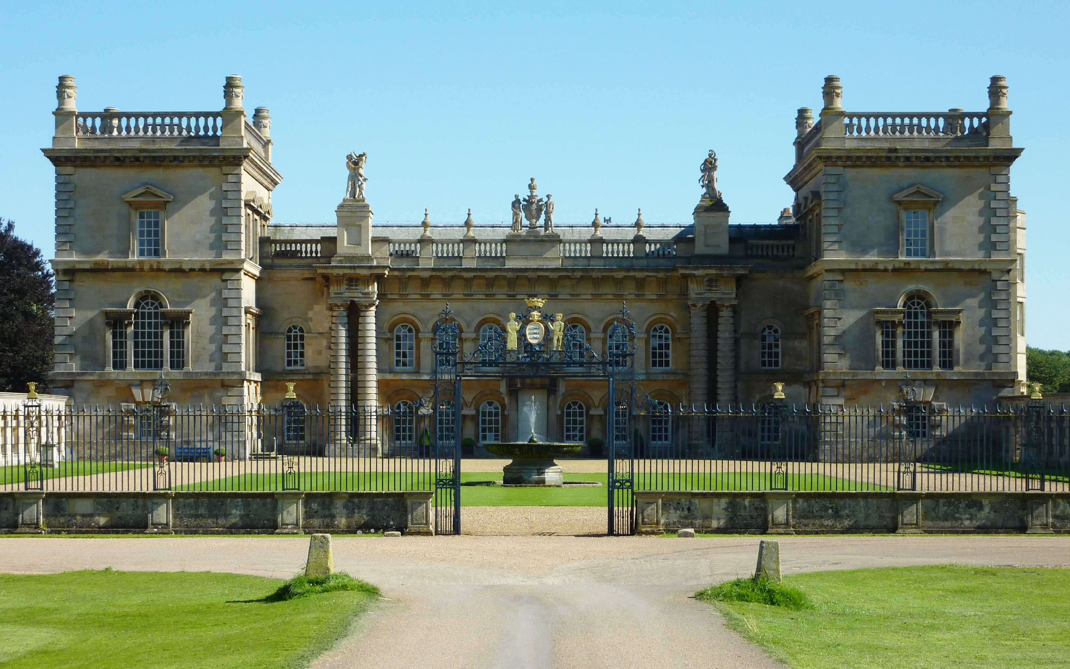
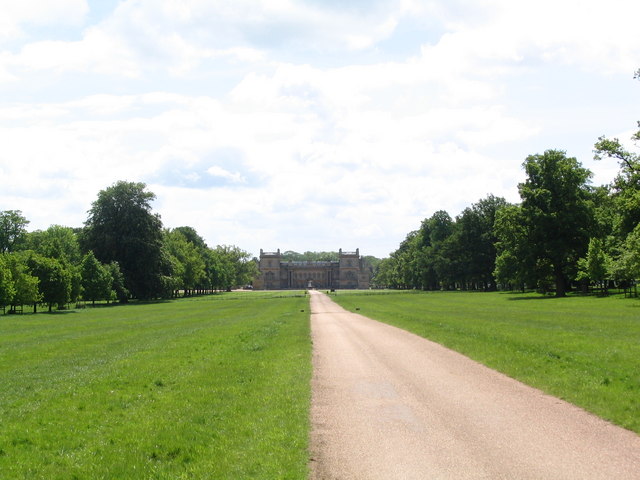
Grimsthorpe Castle

Grimsthorpe Castle is a country house in Lincolnshire, England 4 miles (6.4 km) north-west of Bourne on the A151. It lies within a 3,000 acre (12 km2)...

South Kesteven Rural District

South Kesteven was a rural district in Lincolnshire, Parts of Kesteven in England from 1931 to 1974. It was formed under a County Review Order in 1931...
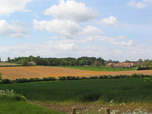
Swinstead

Swinstead is a village and civil parish in the South Kesteven district of Lincolnshire, England. It is situated 5 miles (8.0 km) west from Bourne, 9 miles...
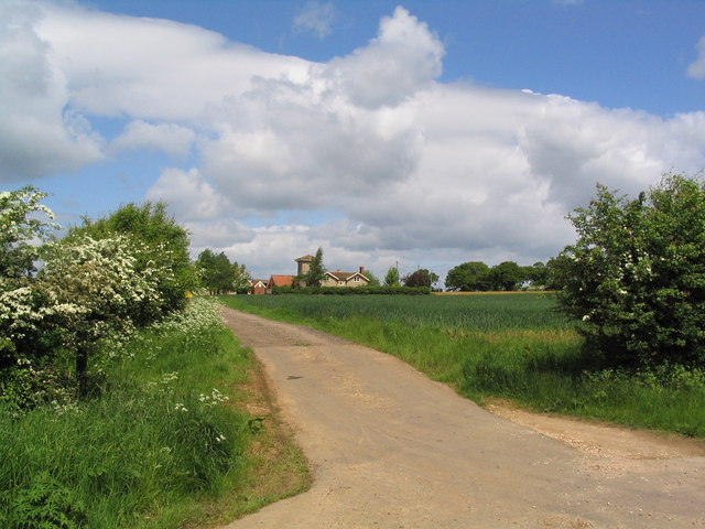
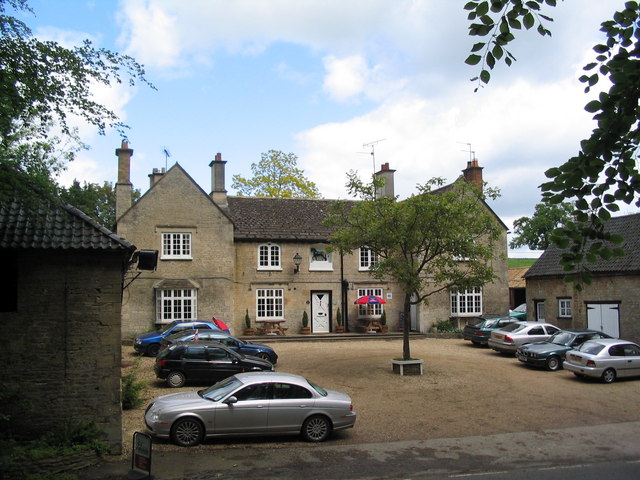
Grimsthorpe

Grimsthorpe is a hamlet in the South Kesteven district of Lincolnshire, England. It is situated on the A151 road, and 3 miles (5 km) north-west from Bourne...

South Kesteven

South Kesteven is a local government district in Lincolnshire, England, forming part of the traditional Kesteven division of the county. Its council is...

Grantham and Stamford (UK Parliament constituency)

Grantham and Stamford is a constituency in Lincolnshire represented in the House of Commons of the UK Parliament since 2019 by Gareth Davies, a Conservative...

Edenham railway station

Edenham railway station was a station in Edenham, Lincolnshire. It was the terminus of a four-mile branch line from the Great Northern Railway at Little...

Nearby Amenities

Located within 500m of 52.785063,-0.47118583
Ele: 46.0000000
Lat/Long: 52.7865841/-0.464966
Ele: 49.0000000
Lat/Long: 52.7870864/-0.4674176
Ele: 57.0000000
Lat/Long: 52.7879188/-0.4715354
Ele: 57.0000000
Lat/Long: 52.7878001/-0.4715242
Ele: 62.0000000
Lat/Long: 52.7873329/-0.4752579
Ele: 63.0000000
Lat/Long: 52.7873329/-0.4747965
Ele: 63.0000000
Lat/Long: 52.7873551/-0.4755399
Ele: 63.0000000
Lat/Long: 52.7874418/-0.4736013
Bishopshall
Place: locality
Source: Bing
Lat/Long: 52.7885946/-0.4676668
The data included in this document is from www.openstreetmap.org. The data is made available under ODbL.

Have you been to Bishopshall Wood?

Leave your review of Bishopshall Wood below (or comments, questions and feedback).