Derry's Wood

Wood, Forest in Surrey Waverley

England

Derry's Wood

Hullbrook Lane, Shamley Green Hullbrook Lane in the village of Shamley Green in Surrey.  This road is on route 22 of the National Cycle Network.
Hullbrook Lane, Shamley Green Credit: Malc McDonald

Derry's Wood is a picturesque woodland located in the county of Surrey, England. Situated in the southeastern region of the country, it covers an area of approximately 50 hectares. The wood is named after the nearby village of Derry, which dates back to medieval times.

Characterized by its diverse and abundant flora and fauna, Derry's Wood is a thriving ecosystem that offers a haven for wildlife and a serene retreat for nature enthusiasts. The wood is predominantly composed of deciduous trees, including oak, beech, and birch, which create a dense canopy overhead, providing shade and shelter for the woodland floor below.

The forest floor is adorned with a vibrant tapestry of wildflowers, ferns, and mosses, creating a visually stunning landscape throughout the seasons. The wood is also home to a rich variety of wildlife, including deer, squirrels, foxes, and numerous species of birds.

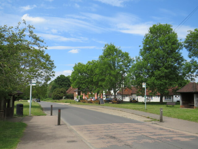
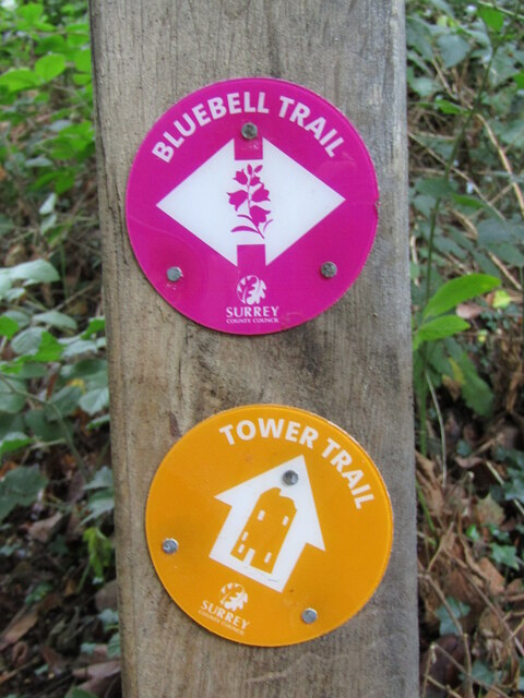
Derry's Wood is a popular destination for outdoor activities and leisurely walks. It boasts a network of well-maintained footpaths and trails that meander through the wood, allowing visitors to explore its natural beauty at their own pace. In addition to its natural attractions, the wood also features several picnic areas, making it an ideal spot for families and groups to relax and enjoy a day out in nature.

Overall, Derry's Wood is a cherished natural gem in the heart of Surrey, offering a peaceful and enchanting experience for all who venture into its woodlands.

If you have any feedback on the listing, please let us know in the comments section below.

Derry's Wood Images

Images are sourced within 2km of 51.199685/-0.52441832 or Grid Reference TQ0345. Thanks to Geograph Open Source API. All images are credited.

Hullbrook Lane, Shamley Green Hullbrook Lane in the village of Shamley Green in Surrey.  This road is on route 22 of the National Cycle Network.
Hullbrook Lane, Shamley Green
Hullbrook Lane in the village of Shamley Green in Surrey. This road is on route 22 of the National Cycle Network.
Shamley Green A view towards the village green at Shamley Green in Surrey.  The road in the foreground forms part of route 22 of the National Cycle Network, indicated by the blue sign beneath the 30mph speed limit reminder sign.
Shamley Green
A view towards the village green at Shamley Green in Surrey. The road in the foreground forms part of route 22 of the National Cycle Network, indicated by the blue sign beneath the 30mph speed limit reminder sign.
The Green, Shamley Green The Green forms part of the route of the B2128 road as it passes through the village of Shamley Green.
The Green, Shamley Green
The Green forms part of the route of the B2128 road as it passes through the village of Shamley Green.
B2128 road and village sign, Shamley Green Shamley Green's village sign stands on the village green alongside the B2128 road.
B2128 road and village sign, Shamley Green
Shamley Green's village sign stands on the village green alongside the B2128 road.
Village shop and post office, Shamley Green The village shop and post office in Shamley Green.  The road passing between the building and the village green is on route 22 of the National Cycle Network.
Village shop and post office, Shamley Green
The village shop and post office in Shamley Green. The road passing between the building and the village green is on route 22 of the National Cycle Network.
B2128 road and village green, Shamley Green The B2128 road passing through the village of Shamley Green.
B2128 road and village green, Shamley Green
The B2128 road passing through the village of Shamley Green.
Woodhill Lane, Shamley Green Woodhill Lane is on route 22 of the National Cycle Network.
Woodhill Lane, Shamley Green
Woodhill Lane is on route 22 of the National Cycle Network.
Wonersh - St John the Baptist Church A church has been on this site since Saxon times.
Note the tribute to Queen Elizabeth II on the altar.
<span class="nowrap"><a title="www.wonershchurch.org.uk" rel="nofollow ugc noopener" href="http://www.wonershchurch.org.uk">Link</a><img style="margin-left:2px;" alt="External link" title="External link - shift click to open in new window" src="https://s1.geograph.org.uk/img/external.png" width="10" height="10"/></span>
Wonersh - St John the Baptist Church
A church has been on this site since Saxon times. Note the tribute to Queen Elizabeth II on the altar. LinkExternal link
Wonersh - St John the Baptist Church A church has been on this site since Saxon times.
This brass memorial is on the nave floor and celebrates Algernon Leslie Brown, vicar 1906-47.
<span class="nowrap"><a title="www.wonershchurch.org.uk" rel="nofollow ugc noopener" href="http://www.wonershchurch.org.uk">Link</a><img style="margin-left:2px;" alt="External link" title="External link - shift click to open in new window" src="https://s1.geograph.org.uk/img/external.png" width="10" height="10"/></span>
Wonersh - St John the Baptist Church
A church has been on this site since Saxon times. This brass memorial is on the nave floor and celebrates Algernon Leslie Brown, vicar 1906-47. LinkExternal link
Wonersh - St John the Baptist Church Tribute to Queen Elizabeth II (1926-2022) on the altar.
<span class="nowrap"><a title="www.wonershchurch.org.uk" rel="nofollow ugc noopener" href="http://www.wonershchurch.org.uk">Link</a><img style="margin-left:2px;" alt="External link" title="External link - shift click to open in new window" src="https://s1.geograph.org.uk/img/external.png" width="10" height="10"/></span>
Wonersh - St John the Baptist Church
Tribute to Queen Elizabeth II (1926-2022) on the altar. LinkExternal link
Wonersh - Queen Elizabeth Memorial Tribute Tribute to Queen Elizabeth II (1926-2022) on the altar in the parish church, St John the Baptist.
<span class="nowrap"><a title="www.wonershchurch.org.uk" rel="nofollow ugc noopener" href="http://www.wonershchurch.org.uk">Link</a><img style="margin-left:2px;" alt="External link" title="External link - shift click to open in new window" src="https://s1.geograph.org.uk/img/external.png" width="10" height="10"/></span>
Wonersh - Queen Elizabeth Memorial Tribute
Tribute to Queen Elizabeth II (1926-2022) on the altar in the parish church, St John the Baptist. LinkExternal link
Wonersh - Font Inside the parish church, St John the Baptist - the font bowl is restored sandstone but the gritstone base may be pre-Norman Conquest.
<span class="nowrap"><a title="www.wonershchurch.org.uk" rel="nofollow ugc noopener" href="http://www.wonershchurch.org.uk">Link</a><img style="margin-left:2px;" alt="External link" title="External link - shift click to open in new window" src="https://s1.geograph.org.uk/img/external.png" width="10" height="10"/></span>
Wonersh - Font
Inside the parish church, St John the Baptist - the font bowl is restored sandstone but the gritstone base may be pre-Norman Conquest. LinkExternal link
Wonersh - Font Cover Inside the parish church, St John the Baptist - the font cover was donated in 1915 and is a reduced copy of Michaelangelo's Madonna and Child in Bruges.
<span class="nowrap"><a title="www.wonershchurch.org.uk" rel="nofollow ugc noopener" href="http://www.wonershchurch.org.uk">Link</a><img style="margin-left:2px;" alt="External link" title="External link - shift click to open in new window" src="https://s1.geograph.org.uk/img/external.png" width="10" height="10"/></span>
Wonersh - Font Cover
Inside the parish church, St John the Baptist - the font cover was donated in 1915 and is a reduced copy of Michaelangelo's Madonna and Child in Bruges. LinkExternal link
Wonersh - Parish Church The church of St John the Baptist is on the site of a Saxon predecessor.
<span class="nowrap"><a title="www.wonershchurch.org.uk" rel="nofollow ugc noopener" href="http://www.wonershchurch.org.uk">Link</a><img style="margin-left:2px;" alt="External link" title="External link - shift click to open in new window" src="https://s1.geograph.org.uk/img/external.png" width="10" height="10"/></span>
Wonersh - Parish Church
The church of St John the Baptist is on the site of a Saxon predecessor. LinkExternal link
Chinthurst Hill - Waymarkers Two waymarkers point towards short circular walks (Bluebell Trail and Tower Trail) on Chinthurst Hill, north of Wonersh.
Chinthurst Hill - Waymarkers
Two waymarkers point towards short circular walks (Bluebell Trail and Tower Trail) on Chinthurst Hill, north of Wonersh.
Wonersh - From Chinthurst Hill Modern residential area to the north of Wonersh village centre - one of the prospects from heavily wooded Chinthurst Hill.
<span class="nowrap"><a title="www.surreywildlifetrust.org" rel="nofollow ugc noopener" href="http://www.surreywildlifetrust.org">Link</a><img style="margin-left:2px;" alt="External link" title="External link - shift click to open in new window" src="https://s1.geograph.org.uk/img/external.png" width="10" height="10"/></span>
Wonersh - From Chinthurst Hill
Modern residential area to the north of Wonersh village centre - one of the prospects from heavily wooded Chinthurst Hill. LinkExternal link
Chinthurst Hill - Tower The stone tower is a folly, built in the late 1930s for Lord Inchcape. The small column in the foreground carries a toposcope but many of its given views are obscured by trees.
<span class="nowrap"><a title="www.surreywildlifetrust.org" rel="nofollow ugc noopener" href="http://www.surreywildlifetrust.org">Link</a><img style="margin-left:2px;" alt="External link" title="External link - shift click to open in new window" src="https://s1.geograph.org.uk/img/external.png" width="10" height="10"/></span>
Chinthurst Hill - Tower
The stone tower is a folly, built in the late 1930s for Lord Inchcape. The small column in the foreground carries a toposcope but many of its given views are obscured by trees. LinkExternal link
Wonersh - Grantley Arms Historic timber-framed pub, ca 500 years old, in the centre of Wonersh village.
<span class="nowrap"><a title="www.thegrantleyarms.co.uk" rel="nofollow ugc noopener" href="http://www.thegrantleyarms.co.uk">Link</a><img style="margin-left:2px;" alt="External link" title="External link - shift click to open in new window" src="https://s1.geograph.org.uk/img/external.png" width="10" height="10"/></span>
Wonersh - Grantley Arms
Historic timber-framed pub, ca 500 years old, in the centre of Wonersh village. LinkExternal link
Show me another place!

Derry's Wood is located at Grid Ref: TQ0345 (Lat: 51.199685, Lng: -0.52441832)

Administrative County: Surrey

District: Waverley

Police Authority: Surrey

What 3 Words

///lamp.pizzeria.enormous. Near Chilworth, Surrey

Related Wikis

Hundred of Blackheath, Surrey

Blackheath Hundred or the Hundred of Blackheath was a hundred in the county of Surrey, England. It corresponds to parts of the districts of Waverley and...

Blackheath SSSI, Surrey

Blackheath is a 141.6-hectare (350-acre) biological Site of Special Scientific Interest south-east of Guildford in Surrey.This area of dry lowland heath...

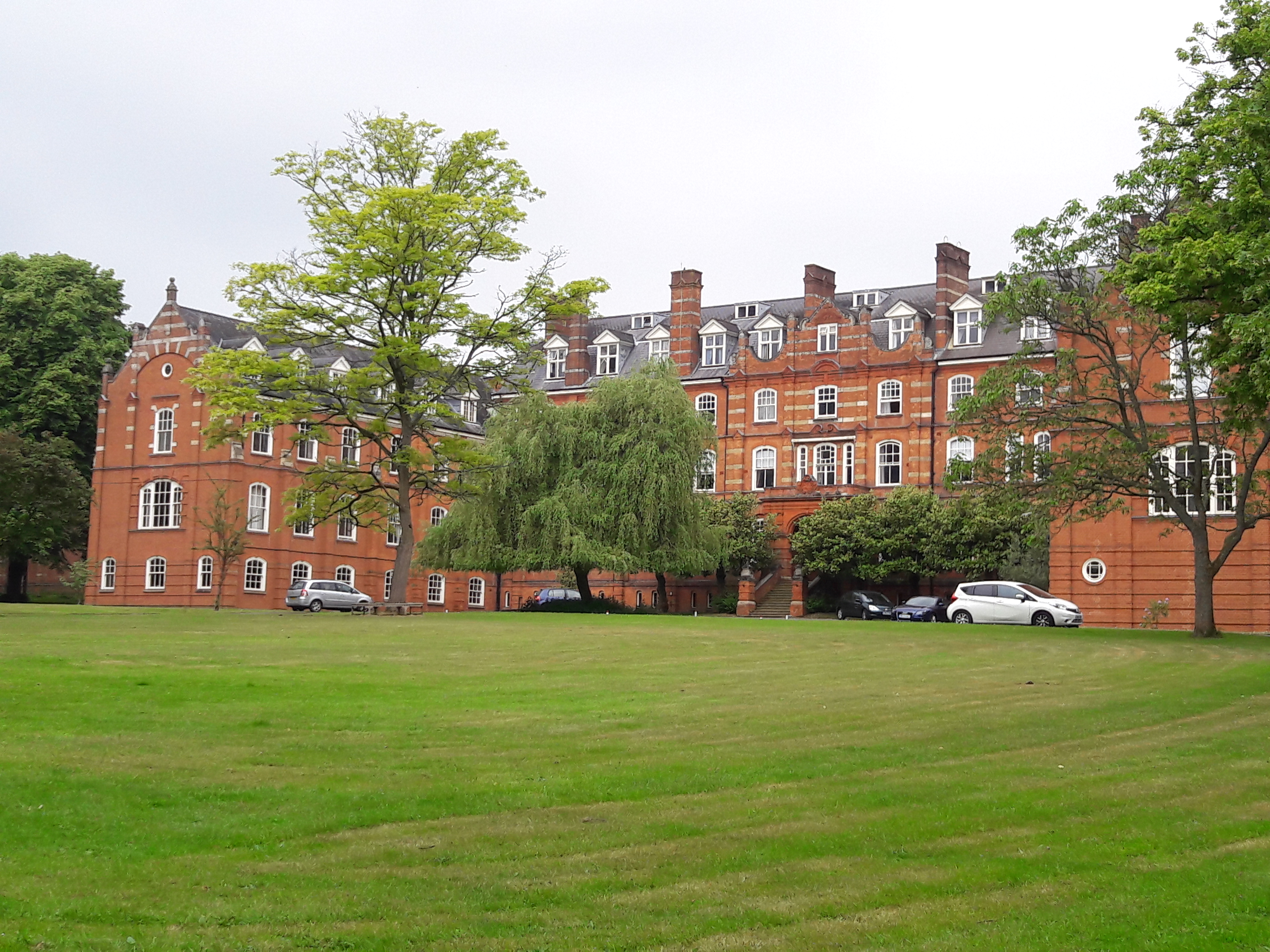
St John's Seminary, Wonersh

St John's Seminary was a Roman Catholic seminary located at Wonersh near Guildford in Surrey, in the Diocese of Arundel and Brighton, United Kingdom. St...

Blackheath Common

Blackheath Common is an area of 250 acres (100 ha) of heathland in Surrey, England, near the village of Albury in the borough of Waverley. It is part of...

St Augustine's Abbey, Chilworth

St Augustine's Abbey or Chilworth Abbey, formerly Chilworth Friary, is a Roman Catholic Benedictine abbey in Chilworth, Surrey. The building, which is...
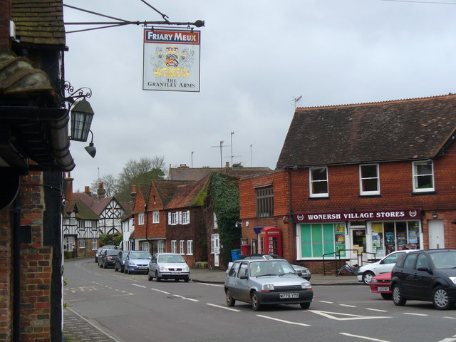
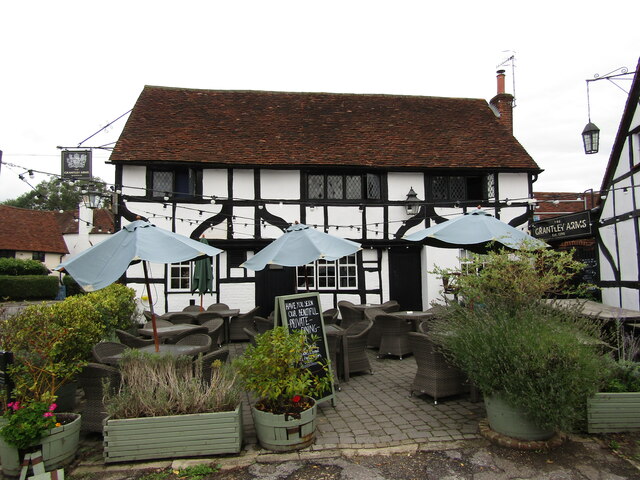
Wonersh

Wonersh is a village and civil parish in the Waverley district of Surrey, England and Surrey Hills Area of Outstanding Natural Beauty. Wonersh contains...

Surrey Hills AONB

The Surrey Hills is a 422 km2 (163 sq mi) Area of Outstanding Natural Beauty (AONB) in Surrey, England, which principally covers parts of the North Downs...

Chilworth railway station

Chilworth railway station serves the village of Chilworth, Surrey, England. The station, and all trains serving it, are operated by the Great Western Railway...

Nearby Amenities

Located within 500m of 51.199685,-0.52441832
Derry's Wood
Natural: wood
Source: npe
Lat/Long: 51.1984299/-0.5231548
Barrier: stile
Lat/Long: 51.1960627/-0.5264771
Barrier: stile
Lat/Long: 51.1961839/-0.5227885
Barrier: stile
Lat/Long: 51.1963459/-0.5210194
Barrier: stile
Lat/Long: 51.196669/-0.5293129
Fountain
Lat/Long: 51.1970928/-0.5245933
The data included in this document is from www.openstreetmap.org. The data is made available under ODbL.

Have you been to Derry's Wood?

Leave your review of Derry's Wood below (or comments, questions and feedback).