Grange Covert
Wood, Forest in Lincolnshire North Kesteven
England
Grange Covert

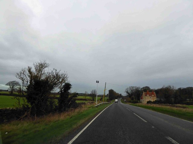
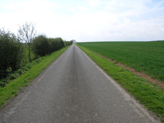
Grange Covert is a serene woodland area located in Lincolnshire, England. Covering an expansive area, it is nestled in the heart of the county, offering a peaceful retreat for nature enthusiasts and those seeking tranquility.
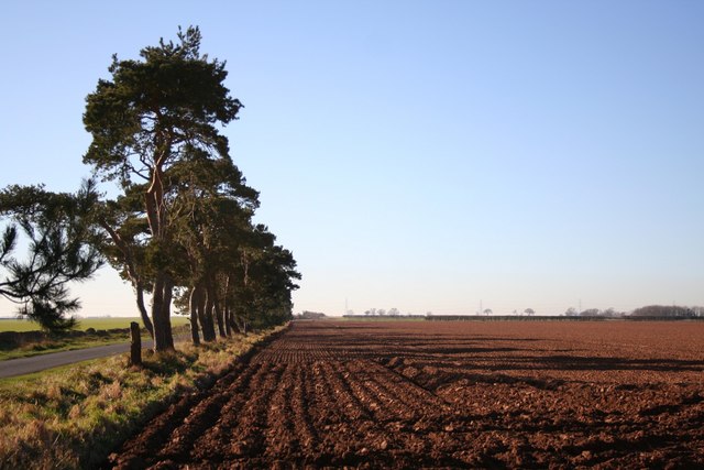
The woodland is characterized by its lush greenery and diverse range of tree species, including oak, beech, and pine. These towering trees provide a haven for a variety of wildlife, making Grange Covert a popular spot for birdwatchers and nature photographers. Visitors can often spot woodpeckers, owls, and various songbirds flitting through the branches.
Traversing through the woodland, visitors can follow winding pathways that lead them deeper into the forest. The paths are well-maintained and suitable for leisurely strolls or more adventurous hikes. Along the way, one may encounter enchanting wildflowers, vibrant ferns, and occasionally stumble upon a hidden clearing, perfect for a picnic or simply to rest and absorb the natural beauty.
Grange Covert is not only a haven for wildlife and nature enthusiasts, but it also holds historical significance. The woodland is believed to have been part of the ancient Sherwood Forest, which was once a royal hunting ground. Today, remnants of this historical importance can still be seen in the form of ancient trees and the occasional hidden glade.
With its picturesque beauty and tranquil atmosphere, Grange Covert offers a captivating escape from the hustle and bustle of everyday life. Whether one seeks solace in nature, craves an adventure, or desires a glimpse into history, this woodland in Lincolnshire is sure to leave a lasting impression.
If you have any feedback on the listing, please let us know in the comments section below.
Grange Covert Images
Images are sourced within 2km of 53.105886/-0.46155102 or Grid Reference TF0357. Thanks to Geograph Open Source API. All images are credited.


Grange Covert is located at Grid Ref: TF0357 (Lat: 53.105886, Lng: -0.46155102)
Administrative County: Lincolnshire
District: North Kesteven
Police Authority: Lincolnshire
What 3 Words
///budgeted.driftwood.sparkle. Near Navenby, Lincolnshire
Nearby Locations
Related Wikis

RAF Digby
Royal Air Force Digby otherwise known as RAF Digby is a Royal Air Force station located near Scopwick and 11.6 mi (18.7 km) south east of Lincoln, in Lincolnshire...

Thompson's Bottom
Thompson's Bottom is a hamlet in the North Kesteven district of Lincolnshire, England. It is situated just under 0.5 miles (0.8 km) west from the A15 road...
Ashby de la Launde
Ashby de la Launde is a small village, part of the civil parish of Ashby de la Launde and Bloxholm, in the North Kesteven district of Lincolnshire, England...
RAF Coleby Grange
Royal Air Force Coleby Grange or more simply RAF Coleby Grange was a Royal Air Force satellite station situated alongside the western edge of the A15 on...

Scopwick
Scopwick is a small village and civil parish in the district of North Kesteven, Lincolnshire, England, situated 6 miles (9.7 km) south from Lincoln. The...
Navenby
Navenby is a village and civil parish in the North Kesteven district of Lincolnshire, England. Lying 8 miles (13 km) south from Lincoln and 9 miles (14...
Blankney
Blankney is a village and civil parish in the North Kesteven district of Lincolnshire, England. The population of the civil parish at the 2011 census was...
Temple Bruer Preceptory
Temple Bruer Preceptory is a historic building in the civil parish of Temple Bruer with Temple High Grange, North Kesteven, Lincolnshire, England. It...
Nearby Amenities
Located within 500m of 53.105886,-0.46155102Have you been to Grange Covert?
Leave your review of Grange Covert below (or comments, questions and feedback).