Batworthpark Plantation
Wood, Forest in Sussex Arun
England
Batworthpark Plantation

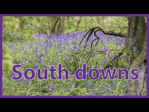
Batworthpark Plantation is a picturesque woodland located in Sussex, England. Situated near the village of Batworthpark, this plantation spans across a vast area, encompassing dense forests and diverse flora and fauna. The woodland is a part of the South Downs National Park, known for its outstanding natural beauty and conservation efforts.
The Plantation boasts a variety of tree species, including oak, beech, birch, and pine, which create a rich and vibrant ecosystem. These trees provide a habitat for numerous bird species, such as woodpeckers, owls, and thrushes, making it a haven for birdwatchers and nature enthusiasts.
Visitors to Batworthpark Plantation can explore the well-maintained trails that wind through the woodland, offering breathtaking views and a serene atmosphere. The plantation is open year-round, providing opportunities for outdoor activities like hiking, cycling, and picnicking. In the autumn, the woodland transforms into a kaleidoscope of vibrant colors as the leaves change, creating a truly magical experience.
The plantation is also home to various wildlife, including deer, foxes, and rabbits, making it a popular spot for wildlife photographers. The management of Batworthpark Plantation is dedicated to preserving the natural habitat and promoting sustainable practices, ensuring the long-term conservation of this cherished woodland.
Overall, Batworthpark Plantation in Sussex is a stunning example of the region's natural beauty. Its diverse flora and fauna, well-maintained trails, and commitment to conservation make it a must-visit destination for nature lovers and those seeking tranquility amidst the bustling world.
If you have any feedback on the listing, please let us know in the comments section below.
Batworthpark Plantation Images
Images are sourced within 2km of 50.849225/-0.53717903 or Grid Reference TQ0306. Thanks to Geograph Open Source API. All images are credited.


Batworthpark Plantation is located at Grid Ref: TQ0306 (Lat: 50.849225, Lng: -0.53717903)
Administrative County: West Sussex
District: Arun
Police Authority: Sussex
What 3 Words
///them.villa.mentioned. Near Arundel, West Sussex
Nearby Locations
Related Wikis

Arundel railway station
Arundel railway station serves the market town of Arundel in West Sussex. The station is on the eastern side of the town, about 550 yards (500 m) from...
Warningcamp
Warningcamp is a village and civil parish in the Arun District of West Sussex, England. It is 1 mile (1.6 km) east of Arundel, on the east bank of the...

Arundel F.C.
Arundel Football Club is a football club based in Arundel, West Sussex, England. They are currently members of the Southern Combination Division One and...
Arundel Blackfriars
Arundel Blackfriars, otherwise Dominican Priory, Arundel, was a friary of the Dominican Order in Arundel, West Sussex, England. The date of foundation...

Arundel Museum
Arundel Museum is a local museum in the town of Arundel, West Sussex, just inland from the south coast of England. Arundel Museum is run by the Arundel...

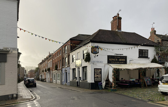
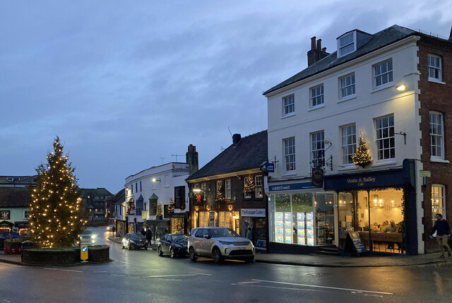
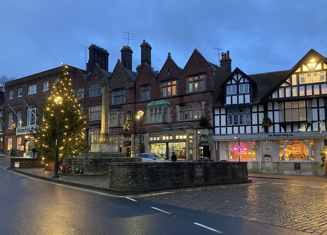
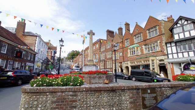
Arundel
Arundel ( ARR-ən-dəl or locally AHN-dəl) is a market town and civil parish in the Arun District of the South Downs, West Sussex, England. The much-conserved...

Félix Anaut
Félix Anaut (born Zaragoza, 1944) is a Spanish painter whose work is based in Abstract Expressionism and Figurative Monumentalism. == Education and... ==
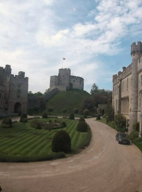
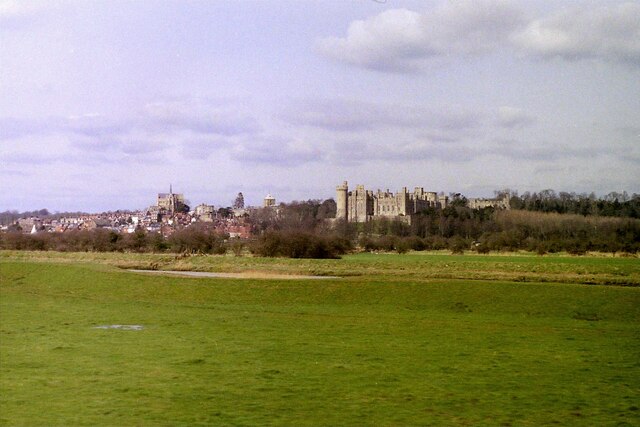
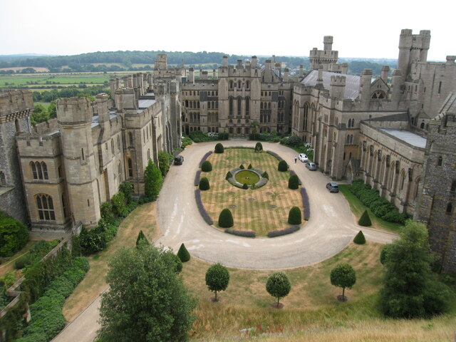
Arundel Castle
Arundel Castle is a restored and remodelled medieval castle in Arundel, West Sussex, England. It was established by Roger de Montgomery in the 11th century...
Related Videos

Arundel to Amberley walk | South Downs National Park | Drone 4k | 🇬🇧 Hiking UK | England
Arundel Castle, its parkland, and the South Downs Length 18.8km (11.7 miles), 5 hours 15 minutes. For the whole outing, ...

Sunrise morning walk in historic picturesque Arundel
This walk was filmed on 16th November 2021. If you feel like buying me a virtual coffee it is greatly appreciated and helps the ...

Arundel to Amberley: Discovering the Picturesque South Downs | UK Hiking Adventures 🇬🇧
Embark on a captivating journey from Arundel to Amberley as we explore the scenic beauty of the South Downs. This picturesque ...
Nearby Amenities
Located within 500m of 50.849225,-0.53717903Have you been to Batworthpark Plantation?
Leave your review of Batworthpark Plantation below (or comments, questions and feedback).