Drove Spinney

Wood, Forest in Lincolnshire North Kesteven

England

Drove Spinney

Benchmark on house #53 Ordnance Survey cut mark benchmark levelled at 20.831m above Newlyn Datum in 1955 and verified in 1969
Benchmark on house #53 Credit: Roger Templeman

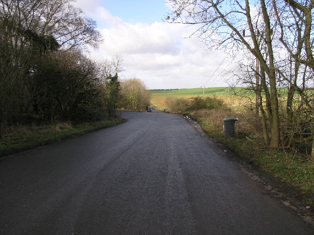
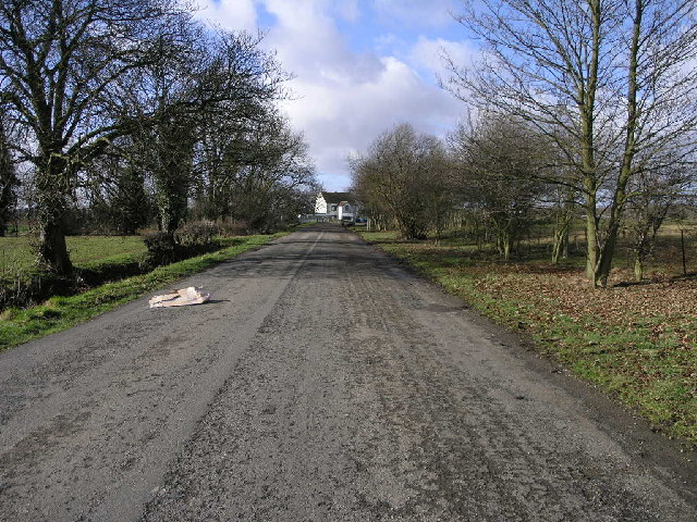
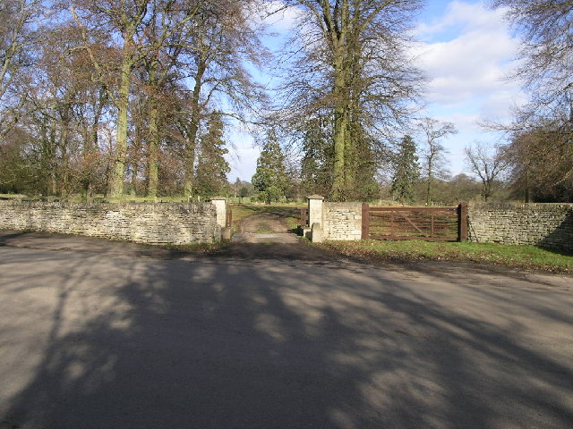
Drove Spinney is a charming wood located in Lincolnshire, England. Situated near the village of Drove, this forested area covers a vast expanse of land and offers a serene and picturesque setting. The name "Spinney" refers to a small woodland or copse, and Drove Spinney lives up to this description.

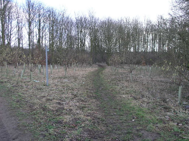
The woodland is known for its diverse range of tree species, including oak, ash, birch, and beech. These trees create a dense canopy, providing shade and shelter to the forest floor below. The forest is home to various wildlife species, such as deer, foxes, squirrels, and numerous bird species. Nature enthusiasts and birdwatchers often visit Drove Spinney to observe and appreciate the natural beauty and biodiversity it offers.

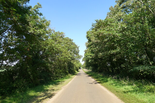
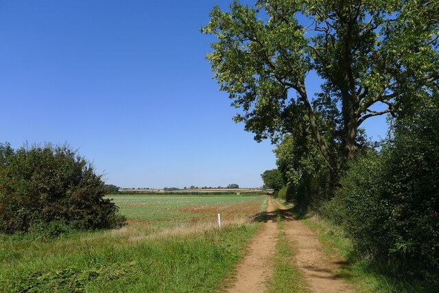
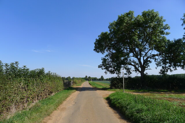
Drove Spinney offers a network of footpaths and trails, allowing visitors to explore its enchanting surroundings. These paths wind through the forest, providing opportunities for leisurely walks, hikes, and even cycling. The forest floor is covered in a carpet of wildflowers, adding a splash of color to the greenery.

The wood is also a popular spot for picnics and family outings. There are designated picnic areas with benches and tables, where visitors can relax and enjoy the tranquility of the surroundings. Moreover, educational institutions often organize field trips to Drove Spinney, enabling students to learn about woodland ecosystems and conservation efforts.

Overall, Drove Spinney in Lincolnshire is a delightful woodland that offers a peaceful retreat from the hustle and bustle of daily life. With its diverse flora and fauna, scenic trails, and picnic areas, it promises a memorable experience for nature lovers and outdoor enthusiasts alike.

If you have any feedback on the listing, please let us know in the comments section below.

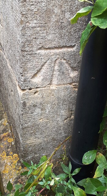
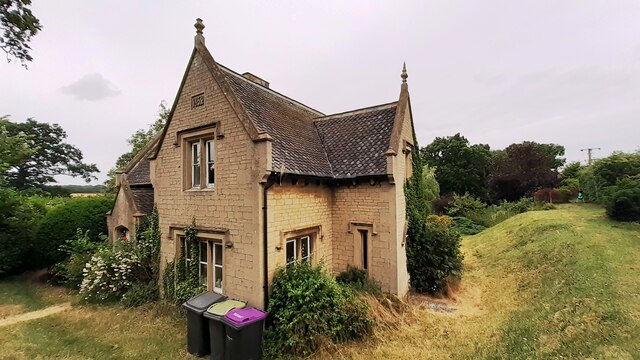
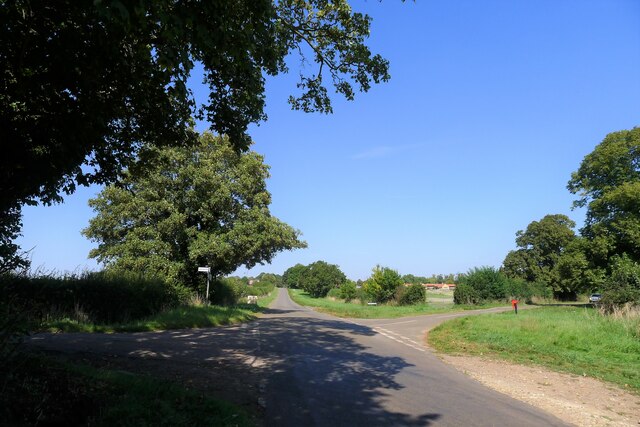
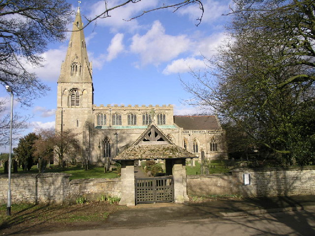
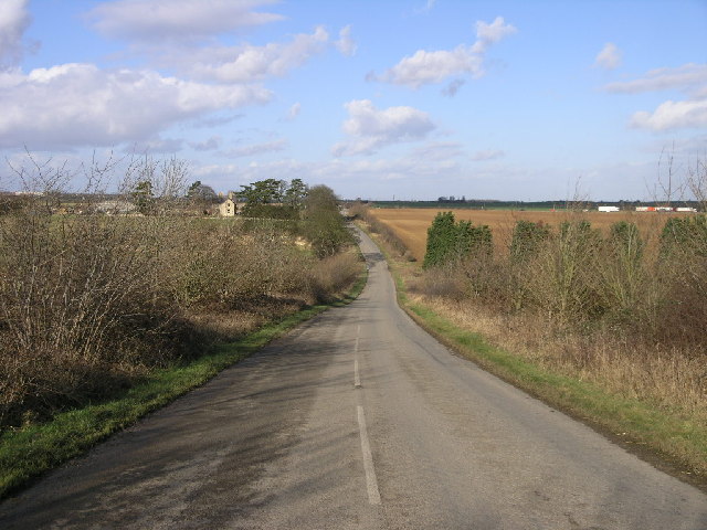
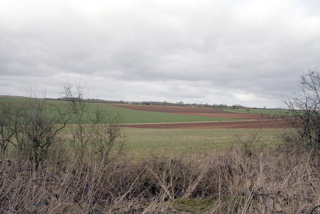
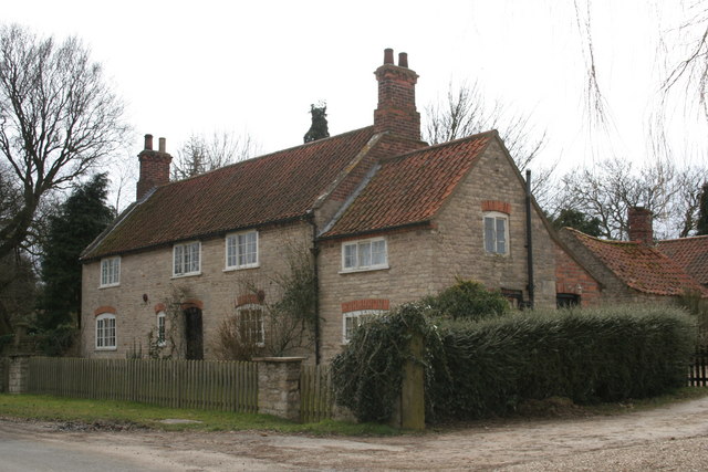
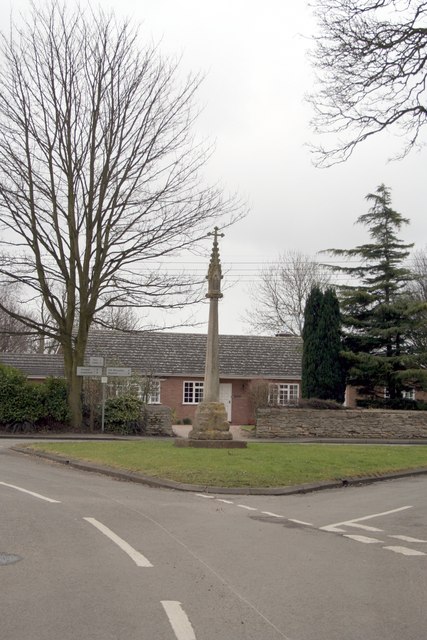
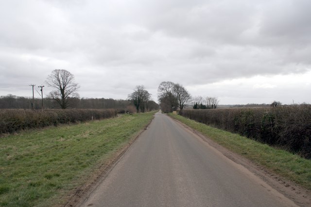
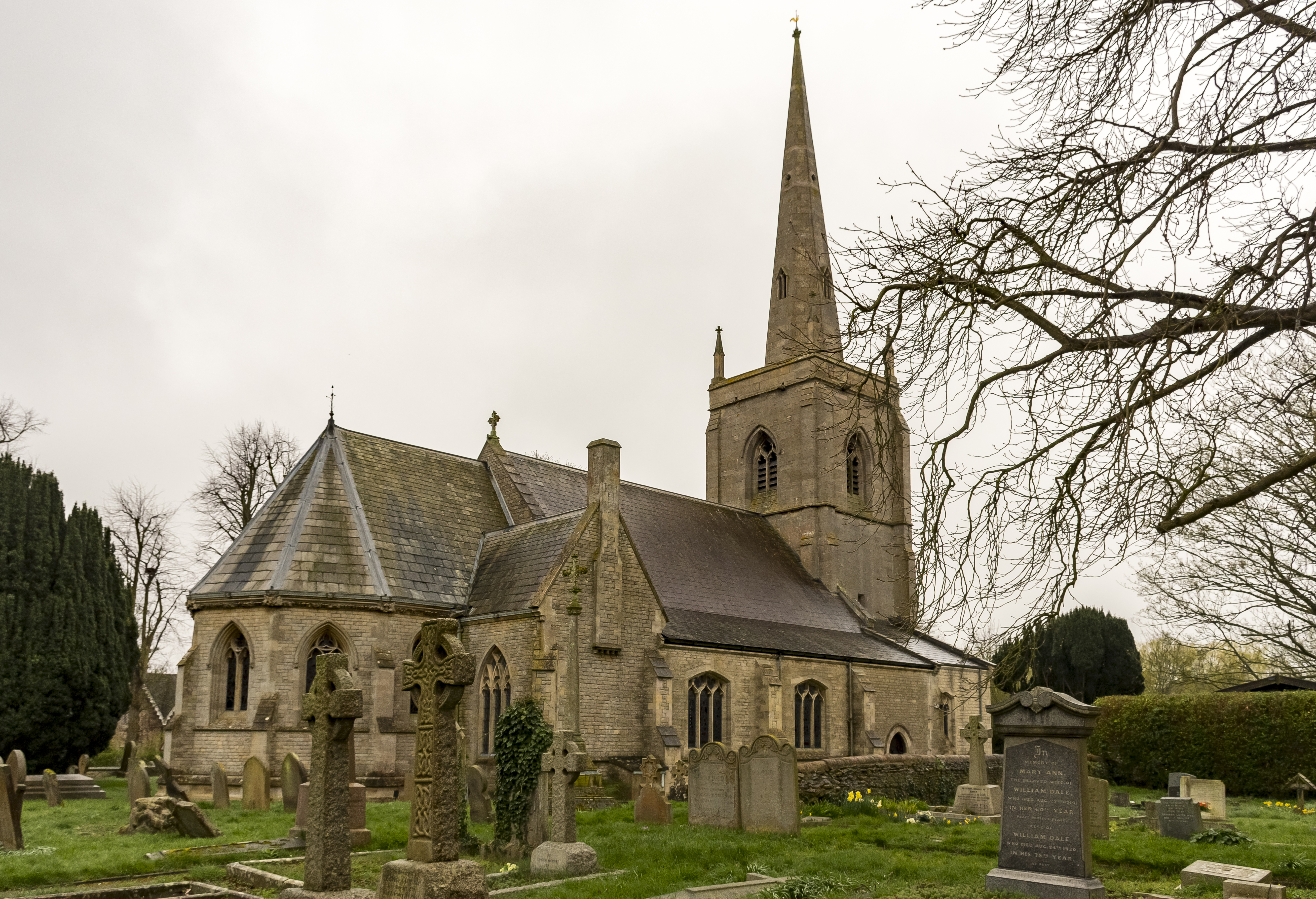
Drove Spinney Images

Images are sourced within 2km of 53.003403/-0.46594218 or Grid Reference TF0346. Thanks to Geograph Open Source API. All images are credited.

Benchmark on house #53 Ordnance Survey cut mark benchmark levelled at 20.831m above Newlyn Datum in 1955 and verified in 1969
Benchmark on house #53
Ordnance Survey cut mark benchmark levelled at 20.831m above Newlyn Datum in 1955 and verified in 1969
House Nos. 52 and 53 at junction of Gantham Road and Rauceby Drove There is an Ordnance Survey benchmark <a href="https://www.geograph.org.uk/photo/7530962">TF0344 : Benchmark on house #53</a> on the near corner of the building (which has an 1852 date stone)  between the right-hand wheelie bin and the black downpipe.
House Nos. 52 and 53 at junction of Gantham Road and Rauceby Drove
There is an Ordnance Survey benchmark TF0344 : Benchmark on house #53 on the near corner of the building (which has an 1852 date stone) between the right-hand wheelie bin and the black downpipe.
Thorpe Drove climbing the flank of Cliff Hill At the eastern end of the Ancaster Gap
Thorpe Drove climbing the flank of Cliff Hill
At the eastern end of the Ancaster Gap
Thorpe Drove leading to South Rauceby Waterwell lane to the left, and Cliffe View to the right.
Thorpe Drove leading to South Rauceby
Waterwell lane to the left, and Cliffe View to the right.
The Bustard Inn, South Rauceby Listed Grade II, from 1860 <span class="nowrap"><a title="https://thebustardinn.co.uk/" rel="nofollow ugc noopener" href="https://thebustardinn.co.uk/">Link</a><img style="margin-left:2px;" alt="External link" title="External link - shift click to open in new window" src="https://s1.geograph.org.uk/img/external.png" width="10" height="10"/></span>. But the last bustard in Britain died in the 1830s, so when did the inn get its name?
The Bustard Inn, South Rauceby
Listed Grade II, from 1860 LinkExternal link. But the last bustard in Britain died in the 1830s, so when did the inn get its name?
70 Main Street, South Rauceby Listed Grade II, a former early 19th century tower mill <span class="nowrap"><a title="https://historicengland.org.uk/listing/the-list/list-entry/1061775?section=official-list-entry" rel="nofollow ugc noopener" href="https://historicengland.org.uk/listing/the-list/list-entry/1061775?section=official-list-entry">Link</a><img style="margin-left:2px;" alt="External link" title="External link - shift click to open in new window" src="https://s1.geograph.org.uk/img/external.png" width="10" height="10"/></span>
70 Main Street, South Rauceby
Listed Grade II, a former early 19th century tower mill LinkExternal link
Track running towards Waterwell Lane
Waterwell Lane heading east towards South Rauceby The footpath runs south-west to Wilford
Waterwell Lane heading east towards South Rauceby
The footpath runs south-west to Wilford
Old A17 This piece of road is now a lay-by but was once the A17 just west of Sleaford looking towards Cranwell Airfield.  The A17 now follows a straighter line and is just behind the hedge on the left.
Old A17
This piece of road is now a lay-by but was once the A17 just west of Sleaford looking towards Cranwell Airfield. The A17 now follows a straighter line and is just behind the hedge on the left.
Old A17 Now an access road and lay-by this road was once the A17.  The bend near to the house in the distance is almost 90 degrees. See <a href="https://www.geograph.org.uk/gridref/TF0347">TF0347</a>
Old A17
Now an access road and lay-by this road was once the A17. The bend near to the house in the distance is almost 90 degrees. See TF0347
Footpath To Quarrington This footpath leads from South Rauceby through a small copse and over the fields to Quarrington.
Footpath To Quarrington
This footpath leads from South Rauceby through a small copse and over the fields to Quarrington.
Cattle Grid Access This access gate to Rauceby Hall is protected by a cattle grid.
Cattle Grid Access
This access gate to Rauceby Hall is protected by a cattle grid.
St Peter's Church St Peter's Church in North Rauceby has an interesting lyche gate with a carved inscription which suggests it was built in memory of a former parishioner.
St Peter's Church
St Peter's Church in North Rauceby has an interesting lyche gate with a carved inscription which suggests it was built in memory of a former parishioner.
A17 Horizon The A17 runs along the horizon with Cranwell just beyond.
A17 Horizon
The A17 runs along the horizon with Cranwell just beyond.
Fields near RAF Cranwell
Farmhouse at North Rauceby
The village cross at North Rauceby
Thorpe Drove, South Rauceby
Show me another place!

Drove Spinney is located at Grid Ref: TF0346 (Lat: 53.003403, Lng: -0.46594218)

Administrative County: Lincolnshire

District: North Kesteven

Police Authority: Lincolnshire

What 3 Words

///wiring.trifling.impaled. Near Leasingham, Lincolnshire

Related Wikis

South Rauceby Hall

South Rauceby Hall, South Rauceby, Lincolnshire, England is a country house dating from the mid-19th century. It was designed by William Burn in 1842 for...

South Rauceby

South Rauceby is a village and civil parish in the North Kesteven district of Lincolnshire, England. It is situated 2.5 miles (4.0 km) west from Sleaford...

North Rauceby

North Rauceby is a village and civil parish in the North Kesteven district of Lincolnshire, England. It is situated 4 miles (6 km) north-west from Sleaford...

Rauceby railway station

Rauceby railway station is a station near the town of Sleaford, Lincolnshire, England, lying close to the western border of the Parish of Old Sleaford...

Rauceby Hospital

Rauceby Hospital, originally called Kesteven County Asylum, is a now-defunct mental institution in the parish of Quarrington, Lincolnshire, England. Originally...

No. 16 Squadron RAF

Number 16 Squadron Royal Air Force, nicknamed 'the Saints', is a flying squadron of the Royal Air Force (RAF) who currently provide elementary flying training...

St Botolph's Church, Quarrington

St Botolph's Church is an Anglican church in Quarrington in Lincolnshire, England. The area has been settled since at least the Anglo-Saxon period, and...

Quarrington, Lincolnshire

Quarrington is a village and former civil parish, now part of the civil parish of Sleaford, in the North Kesteven district of Lincolnshire, England. The...

Nearby Amenities

Located within 500m of 53.003403,-0.46594218
Rauceby Park
Place: locality
Source: Bing
Lat/Long: 52.9994152/-0.4679991
Power: pole
Lat/Long: 53.0024048/-0.466361
Power: pole
Lat/Long: 53.0027099/-0.4651433
Power: pole
Lat/Long: 53.0030731/-0.463711
Power: pole
Lat/Long: 53.0034314/-0.462319
Power: pole
Lat/Long: 53.0037962/-0.4608598
Power: pole
Lat/Long: 53.0041577/-0.4594249
The data included in this document is from www.openstreetmap.org. The data is made available under ODbL.

Have you been to Drove Spinney?

Leave your review of Drove Spinney below (or comments, questions and feedback).