Ladywalk Wood

Wood, Forest in Hertfordshire Three Rivers

England

Ladywalk Wood

Bluebell Wood at Chiltern Open Air Museum
Bluebell Wood at Chiltern Open Air Museum Credit: Tony and Maureen Kemp

Located in the county of Hertfordshire, Ladywalk Wood is a captivating woodland area that spans across several hectares. Nestled amidst the stunning countryside, this wood offers a tranquil retreat for nature enthusiasts and outdoor lovers. The wood is situated in close proximity to the village of Standon, providing easy access for visitors.

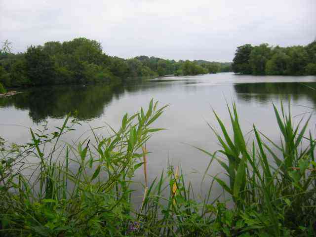
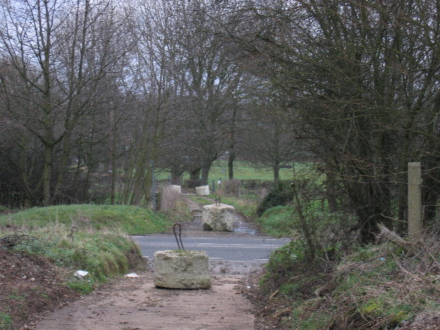
As one ventures into Ladywalk Wood, they are greeted with a diverse array of trees, including oak, beech, and ash, which form a dense canopy overhead. The woodland floor is covered with a rich carpet of ferns, wildflowers, and moss, creating a vibrant and picturesque landscape. The wood is also home to a variety of wildlife, with many species of birds, butterflies, and small mammals inhabiting the area.

An extensive network of footpaths winds its way through the wood, allowing visitors to explore and discover its hidden treasures. These paths take visitors on a journey through the different sections of the wood, each with its own unique charm. From sun-dappled glades to peaceful ponds, Ladywalk Wood offers something for everyone.

The wood is managed by a local conservation group, ensuring its preservation and protection. They organize regular guided walks and educational events, providing visitors with the opportunity to learn about the wood's history, flora, and fauna. Ladywalk Wood is also a popular spot for picnics and family outings, with designated areas equipped with benches and tables.

In conclusion, Ladywalk Wood in Hertfordshire is a captivating and well-maintained woodland, offering a tranquil escape from the bustling world. With its diverse range of trees, wildlife, and picturesque paths, it is a haven for nature enthusiasts and a delightful destination for a day out in the countryside.

If you have any feedback on the listing, please let us know in the comments section below.

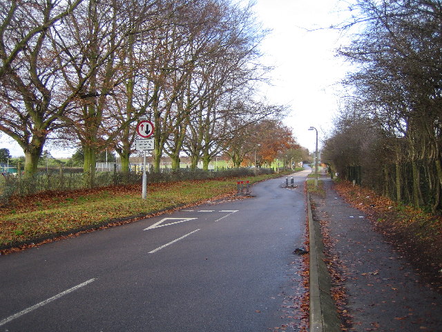
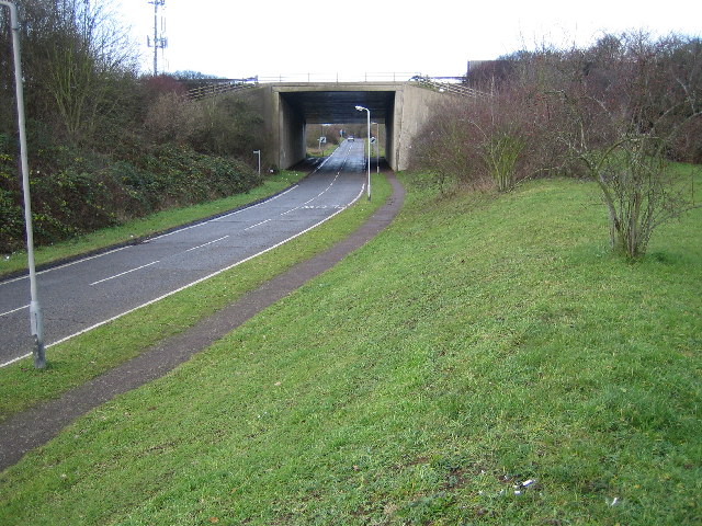
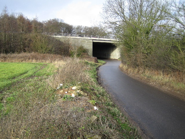
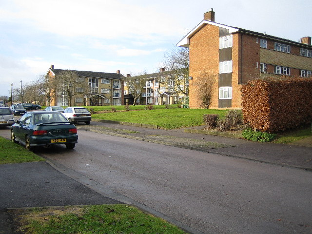
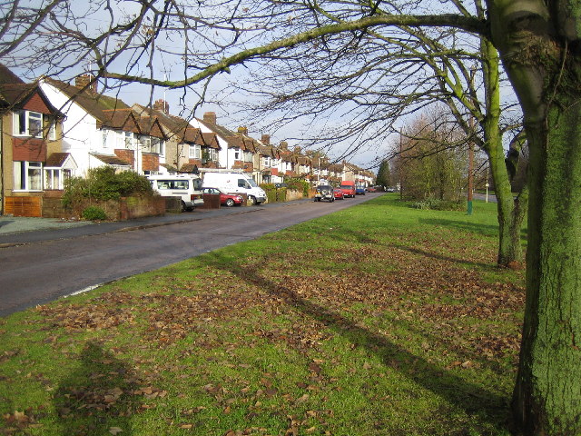
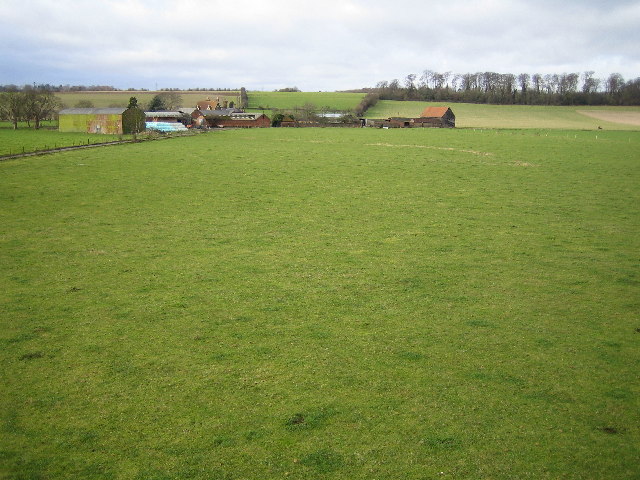
Ladywalk Wood Images

Images are sourced within 2km of 51.633503/-0.51337519 or Grid Reference TQ0293. Thanks to Geograph Open Source API. All images are credited.

Bluebell Wood at Chiltern Open Air Museum
Springwell Lake  Maple Cross The historic map was created before this lake was dug as a gravel pit.This area of the River Colne has a large number of lakes all attractive to birdlife.
Springwell Lake Maple Cross
The historic map was created before this lake was dug as a gravel pit.This area of the River Colne has a large number of lakes all attractive to birdlife.
The Cross Pub at Maple Cross This intersection is a busy one
The Cross Pub at Maple Cross
This intersection is a busy one
Business Park at Maple Cross The area is very convenient for the M25 just a mile away
Business Park at Maple Cross
The area is very convenient for the M25 just a mile away
Business Park Maple Cross The modern buildings contrast strongly with the 
archaic village atmosphere.
Business Park Maple Cross
The modern buildings contrast strongly with the archaic village atmosphere.
Pub with a strange name "Land of Liberty, Peace and Plenty" Chorleywood. This area is also called Swillets
Pub with a strange name "Land of Liberty, Peace and Plenty" Chorleywood.
This area is also called Swillets
The Stag at Swillets Chorleywood. The road to the left at the T-junction becomes very narrow almost one track but is a link with the M25.
The Stag at Swillets Chorleywood.
The road to the left at the T-junction becomes very narrow almost one track but is a link with the M25.
Concrete blocks on the path crossing the A412. The concrete blocks seem to have been left to prevent fly-tippers dumping and gypsies camping
Concrete blocks on the path crossing the A412.
The concrete blocks seem to have been left to prevent fly-tippers dumping and gypsies camping
Grand Union Canal: at Springwell, near Rickmansworth The River Colne flows into and out of the Grand Union Canal in several locations downstream of Rickmansworth. Here one of the braids of the Colne in  spate is pictured joining the canal from under the towpath bridge. The distant bridge over the canal is the Springwell Lane road bridge with the lock gates just visible through the bridge arch.
Grand Union Canal: at Springwell, near Rickmansworth
The River Colne flows into and out of the Grand Union Canal in several locations downstream of Rickmansworth. Here one of the braids of the Colne in spate is pictured joining the canal from under the towpath bridge. The distant bridge over the canal is the Springwell Lane road bridge with the lock gates just visible through the bridge arch.
M25 Motorway viaduct & Metropolitan Line railway & Berry Lane Three for the price of one here. The underside of the M25 Motorway viaduct between Junctions 17 and 18, viewed looking southwards, and at the far end of the viaduct a southbound Metropolitan Line train on the track between Chorleywood and Rickmansworth stations. Berry Lane road runs east-west under the viaduct between the earth banks in the middle.
M25 Motorway viaduct & Metropolitan Line railway & Berry Lane
Three for the price of one here. The underside of the M25 Motorway viaduct between Junctions 17 and 18, viewed looking southwards, and at the far end of the viaduct a southbound Metropolitan Line train on the track between Chorleywood and Rickmansworth stations. Berry Lane road runs east-west under the viaduct between the earth banks in the middle.
Rickmansworth: St Peter's Church, Berry Lane, Mill End A Church of England church built in 1875, there is a modern Roman Catholic Church on the opposite side of Berry Lane.
Rickmansworth: St Peter's Church, Berry Lane, Mill End
A Church of England church built in 1875, there is a modern Roman Catholic Church on the opposite side of Berry Lane.
Rickmansworth: Shepherds Lane, Mill End Traffic calming measures in place looking north westwards along Shepherds Lane with the William Penn Sports Arena to the left.
Rickmansworth: Shepherds Lane, Mill End
Traffic calming measures in place looking north westwards along Shepherds Lane with the William Penn Sports Arena to the left.
Rickmansworth: Shepherds Lane, Mill End Shepherds Lane viewed looking north westwards as it goes under the M25 Motorway bridge close to Junction 17.
Rickmansworth: Shepherds Lane, Mill End
Shepherds Lane viewed looking north westwards as it goes under the M25 Motorway bridge close to Junction 17.
Heronsgate: St. John's Church Heronsgate was the first estate developed by the Chartists in 1845 and was initially named O'Connorville after their leader, Feargus O'Connor. 35 cottages and a school were built. Town-dwellers from the north of England were re-settled initially at subsidised rents and the street names, Stockport Road, Nottingham Road, Halifax Road and Bradford Road reflect their origins. The ban on alcohol which was imposed at that time gave rise to the nearby public house being named "The Land of Liberty, Peace and Plenty". An image of this pub is here <a href="https://www.geograph.org.uk/photo/29109">TQ0295 : Pub with a strange name "Land of Liberty, Peace and Plenty" Chorleywood.</a>This image is of the small church dedicated to St. John at the junction of Stockport Road and Halifax Road North.
Heronsgate: St. John's Church
Heronsgate was the first estate developed by the Chartists in 1845 and was initially named O'Connorville after their leader, Feargus O'Connor. 35 cottages and a school were built. Town-dwellers from the north of England were re-settled initially at subsidised rents and the street names, Stockport Road, Nottingham Road, Halifax Road and Bradford Road reflect their origins. The ban on alcohol which was imposed at that time gave rise to the nearby public house being named "The Land of Liberty, Peace and Plenty". An image of this pub is here TQ0295 : Pub with a strange name "Land of Liberty, Peace and Plenty" Chorleywood.This image is of the small church dedicated to St. John at the junction of Stockport Road and Halifax Road North.
Maple Cross: Chalfont Road Chalfont Road viewed looking north westwards as it goes under the M25 Motorway bridge close to Junction 17.
Maple Cross: Chalfont Road
Chalfont Road viewed looking north westwards as it goes under the M25 Motorway bridge close to Junction 17.
Maple Cross: Longcroft Road Viewed looking westwards.
Maple Cross: Longcroft Road
Viewed looking westwards.
Maple Cross: Denham Way The main A412 Denham Way road is to the right behind the trees but this housing dating from the 1920s / 1930s faces onto its own side road running parallel to the main road.
Maple Cross: Denham Way
The main A412 Denham Way road is to the right behind the trees but this housing dating from the 1920s / 1930s faces onto its own side road running parallel to the main road.
Maple Cross: Woodoaks Farm Viewed looking westwards from the footbridge over the A412 Denham Way. Ladywalk Wood is visible to the right.
Maple Cross: Woodoaks Farm
Viewed looking westwards from the footbridge over the A412 Denham Way. Ladywalk Wood is visible to the right.
Show me another place!

Ladywalk Wood is located at Grid Ref: TQ0293 (Lat: 51.633503, Lng: -0.51337519)

Administrative County: Hertfordshire

District: Three Rivers

Police Authority: Hertfordshire

What 3 Words

///cotton.placed.food. Near Maple Cross, Hertfordshire

Related Wikis

Heronsgate

Heronsgate (or formerly Herringsgate) is a settlement on the outskirts of Chorleywood, Hertfordshire founded by Feargus O'Connor and the Chartist Cooperative...

Maple Cross

Maple Cross is a village in Hertfordshire, England, which up until the Second World War consisted of an inn, a blacksmith's shop and a few cottages. Today...

Maple Cross and Mill End

Maple Cross and Mill End is a ward in Three Rivers, in England, the United Kingdom. It is located in the far south-west Hertfordshire, in the East of...

Mill End, Rickmansworth

Mill End is a suburb of Rickmansworth in Hertfordshire, England. Most of it is an unparished area, not being within a civil parish, although part of the...

Stocker's Lake

Stocker's Lake is an old flooded gravel pit of approx 90 acres (37.5ha) at Rickmansworth, Hertfordshire, England, within the Colne Valley Regional Park...

Chorleywood

Chorleywood is both a village and a civil parish in the Three Rivers District, Hertfordshire, on the border with Buckinghamshire, approximately 20 miles...

Newland Park, Chalfont St Peter

Newland Park is a Grade II listed country house and estate near the village of Chalfont St Peter in Buckinghamshire. == History == Henry Gott bought Newland...

Chiltern Open Air Museum

Chiltern Open Air Museum (COAM) is an independent open-air museum of vernacular buildings and a tourist attraction located near Chalfont St Peter and Chalfont...

Nearby Amenities

Located within 500m of 51.633503,-0.51337519
Motorway Junction
Maple Cross
Ref: 17
Lat/Long: 51.6341136/-0.5146863
Barrier: kissing_gate
Bicycle: no
Foot: yes
Horse: no
Motor Vehicle: no
Lat/Long: 51.633901/-0.5155907
Traffic Calming: hump
Lat/Long: 51.6366042/-0.5178444
Traffic Calming: hump
Lat/Long: 51.6360926/-0.5168984
Traffic Sign: variable_message
Variable Message Model: MS1
Lat/Long: 51.6364528/-0.5108327
Traffic Sign: variable_message
Variable Message Model: MS1
Lat/Long: 51.6365435/-0.5109172
Traffic Sign: variable_message
Variable Message Model: MS2
Lat/Long: 51.634441/-0.5137482
Traffic Sign: variable_message
Variable Message Model: AMI
Lat/Long: 51.6345276/-0.5139527
Traffic Sign: variable_message
Variable Message Model: AMI
Lat/Long: 51.6345113/-0.5139141
Traffic Sign: variable_message
Variable Message Model: AMI
Lat/Long: 51.6344874/-0.5138577
Traffic Sign: variable_message
Variable Message Model: AMI
Lat/Long: 51.6344702/-0.513817
Traffic Sign: variable_message
Variable Message Model: AMI
Lat/Long: 51.6344178/-0.5136933
Phone
Emergency: phone
Operator: National Highways
Operator Wikidata: Q5760006
Lat/Long: 51.6354186/-0.512611
Phone
Emergency: phone
Operator: National Highways
Operator Wikidata: Q5760006
Lat/Long: 51.6356431/-0.5131223
Phone
Emergency: phone
Operator: National Highways
Operator Wikidata: Q5760006
Lat/Long: 51.6353041/-0.5137832
Traffic Sign: variable_message
Variable Message Model: AMI
Lat/Long: 51.6345633/-0.5140369
Traffic Sign: variable_message
Variable Message Model: AMI
Lat/Long: 51.6345821/-0.5140813
Traffic Sign: variable_message
Variable Message Model: AMI
Lat/Long: 51.6346008/-0.5141254
Traffic Sign: variable_message
Variable Message Model: AMI
Lat/Long: 51.6346213/-0.5141738
Traffic Sign: variable_message
Variable Message Model: MS2
Lat/Long: 51.6346414/-0.5142212
Traffic Sign: variable_message
Variable Message Model: AMI
Lat/Long: 51.6346617/-0.5142691
Traffic Sign: variable_message
Variable Message Model: AMI
Lat/Long: 51.632124/-0.5167411
Traffic Sign: variable_message
Variable Message Model: AMI
Lat/Long: 51.6321419/-0.5167829
Traffic Sign: variable_message
Variable Message Model: AMI
Lat/Long: 51.6321597/-0.5168244
Traffic Sign: variable_message
Variable Message Model: AMI
Lat/Long: 51.6321779/-0.516867
Watering Place
Lat/Long: 51.6329012/-0.5165722
Watering Place
Lat/Long: 51.6321628/-0.5173137
Access: no
Barrier: kissing_gate
Foot: permissive
Lat/Long: 51.6323776/-0.5171195
Street Lamp
Lat/Long: 51.6303526/-0.5181728
Street Lamp
Lat/Long: 51.630562/-0.5186795
Street Lamp
Lat/Long: 51.6307091/-0.517798
Street Lamp
Lat/Long: 51.6313686/-0.5169294
Street Lamp
Lat/Long: 51.6353853/-0.5134344
Street Lamp
Lat/Long: 51.6351357/-0.5128583
Street Lamp
Lat/Long: 51.6355086/-0.512487
Street Lamp
Lat/Long: 51.6352323/-0.5124824
Street Lamp
Lat/Long: 51.6354895/-0.5121681
Street Lamp
Lat/Long: 51.6357438/-0.5118153
Street Lamp
Lat/Long: 51.6358337/-0.5120942
Street Lamp
Lat/Long: 51.6357677/-0.513094
Street Lamp
Lat/Long: 51.6361158/-0.5127119
Street Lamp
Lat/Long: 51.6364504/-0.5121701
Street Lamp
Lat/Long: 51.6364745/-0.512551
Street Lamp
Lat/Long: 51.6361989/-0.5128532
Street Lamp
Lat/Long: 51.6359326/-0.5131372
Street Lamp
Lat/Long: 51.6356564/-0.5134159
Street Lamp
Lat/Long: 51.6353834/-0.5137024
Street Lamp
Lat/Long: 51.6359804/-0.511512
Street Lamp
Lat/Long: 51.6362463/-0.5111956
Street Lamp
Lat/Long: 51.6364412/-0.5109084
Street Lamp
Lat/Long: 51.6365427/-0.5105477
Street Lamp
Lat/Long: 51.6368252/-0.5116512
Street Lamp
Lat/Long: 51.6366221/-0.5112375
Street Lamp
Lat/Long: 51.6370088/-0.5106856
Street Lamp
Lat/Long: 51.6372258/-0.5111084
Street Lamp
Lat/Long: 51.637374/-0.5101652
Street Lamp
Lat/Long: 51.6376175/-0.5105616
Street Lamp
Lat/Long: 51.6309932/-0.5174606
Street Lamp
Lat/Long: 51.631215/-0.5180152
Street Lamp
Lat/Long: 51.6312664/-0.5171325
Street Lamp
Lat/Long: 51.6315027/-0.5177291
Street Lamp
Lat/Long: 51.6315577/-0.5168278
Street Lamp
Lat/Long: 51.6317838/-0.5174232
Street Lamp
Lat/Long: 51.6318201/-0.5165056
Street Lamp
Lat/Long: 51.6320889/-0.5170871
Street Lamp
Lat/Long: 51.6321353/-0.5161783
Street Lamp
Lat/Long: 51.6323908/-0.5167932
Street Lamp
Lat/Long: 51.632459/-0.5158378
Street Lamp
Lat/Long: 51.6327214/-0.516472
Street Lamp
Lat/Long: 51.6327626/-0.5154907
Street Lamp
Lat/Long: 51.633031/-0.5161221
Street Lamp
Lat/Long: 51.6333433/-0.515768
Street Lamp
Lat/Long: 51.633081/-0.5151574
Street Lamp
Lat/Long: 51.6336953/-0.5144842
Street Lamp
Lat/Long: 51.6339592/-0.5150696
Street Lamp
Lat/Long: 51.6339611/-0.5141201
Street Lamp
Lat/Long: 51.6342446/-0.5137687
Street Lamp
Lat/Long: 51.6345226/-0.5133972
Street Lamp
Lat/Long: 51.6347315/-0.5130995
Street Lamp
Lat/Long: 51.634258/-0.5147943
Street Lamp
Lat/Long: 51.6345595/-0.5145108
Street Lamp
Lat/Long: 51.634868/-0.514216
Street Lamp
Lat/Long: 51.6351137/-0.5139829
The data included in this document is from www.openstreetmap.org. The data is made available under ODbL.

Have you been to Ladywalk Wood?

Leave your review of Ladywalk Wood below (or comments, questions and feedback).